
Nippon Rent-A-Car
Mishima Station South Exit
About 1 minute on foot from Mishima Station south exit, beside the station terminal.
Area
How to drive West Izu: a one-day route from the Nishi-Izu Skyline down to Toda and south along the coast to Kumomi, the best sunset spots, rain closures, parking at each stop, how to get there and where to fill up.
Edited by Drive Scape Japan · Updated: · Sources verified:
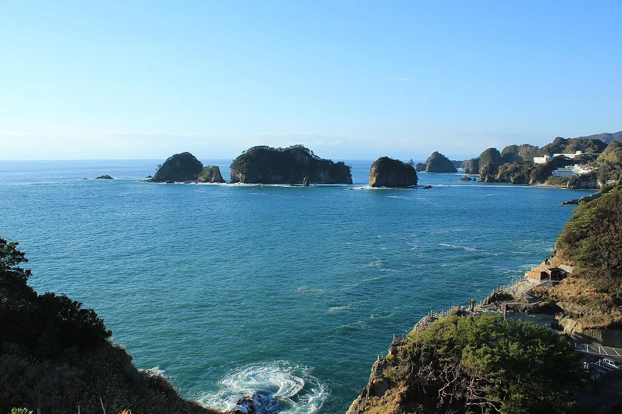
From Toda Pass on the Nishi-Izu Skyline go down to Toda, then drive south along the coast past Deai-misaki, Koibito-misaki, Koganezaki, Dogashima and Matsuzaki to Kumomi (about 78 km, about 1 h 30 min of driving, no toll roads)
Koganezaki and Nishi-Amagi Kogen are good all year, and Dogashima from September to March. Sunset in Shizuoka is at 16:54 on 31 October
Prefectural Route 17 (Ose to Toda) closes at 120 mm of continuous rain and Nishina Pass at 100 mm. The Izu Chuo Road and Shuzenji Road do not take ETC cards or credit cards
As of 26 October 2026.
Times to Darumayama Kogen Rest House, calculated from map data without traffic.
Closures and weather change day by day, so check these pages before you set off.
Nippon Rent-A-Car
About 1 minute on foot from Mishima Station south exit, beside the station terminal.
Nippon Rent-A-Car
About 1 minute on foot from Atami Station, in the Atami No. 2 Building.
Nippon Rent-A-Car
About 2 minutes on foot from Izu-Kogen Station north exit, beside the Izukyu headquarters.
Nippon Rent-A-Car
About 1 minute on foot from the station forecourt at Ito Station.
West Izu is the stretch of the Izu Peninsula's west coast that takes in Toda in Numazu, Doi in Izu City, Nishiizu Town and Matsuzaki Town. You can combine the Nishi-Izu Skyline along the ridge with Route 136 along the coast, which has one sunset spot after another. This page sets out a one-day drive from the Nishi-Izu Skyline down to Toda and then south along the coast to Kumomi, and lists the roads and places to stop.
Line: 1 → 2 → 3 → 4 → 5 → 6 → 7 → 8 → 9 → 10 → 11
The map could not be loaded. Use the junction-by-junction directions below.
The line on the map is the route described below under "First visit: one day from the Nishi-Izu Skyline to Kumomi". The numbers are places to stop: green for views and nature, blue for roadside stations (michi-no-eki). Hover over or tap a number to see its name.
Start at the Daruma-yama Kogen Rest House and stop at Toda Pass on the Nishi-Izu Skyline, then go down to Toda on Prefectural Route 18. Stop at Deai-misaki, Mihama-misaki and Michi-no-Eki Kurura Toda, then drive south along the coast past Koibito-misaki, Koganezaki, Dogashima, Matsuzaki and the Ishibu rice terraces to Kumomi. It is about 78 km and about 1 hour 30 minutes of driving. Distance and time are calculated from map data and do not include traffic. This route uses no toll roads.
It takes about 20 minutes from Shuzenji IC to Toda Pass. To return, drive north from Kumomi on Route 136; it takes about 82 minutes to Shuzenji IC.
Koganezaki and Nishi-Amagi Kogen are good for sunsets all year round, and Dogashima is best from September to March. Sunset in Shizuoka is at 16:54 on 31 October and 16:41 on 15 November. The Dogashima cave-tour boats run until 16:00, so take the boat before the sunset.
The Dogashima cave tour can be cancelled because of waves or wind. Check whether it is running after 9:30 on the day on the Dogashima Marine website. If it is cancelled, walk the promenade from Dogashima Park to Sawada Park (about 1.5 km, about 60 minutes), where you can look down on the Tenso-do cave from above.
| Road | What it is | Length and toll | Hours and rules |
|---|---|---|---|
| Route 136 | From Shuzenji over Funahara Pass to Doi, then along the coast to Dogashima, Matsuzaki and Kumomi | Free | Alternating one-way traffic at Kumomi in Matsuzaki since 25 August (end date not set) |
| Prefectural Route 17 (Numazu-Doi Line) | Coastal road from Numazu through Osezaki and Ida to Toda | 53.7 km in total. Free | Between Ose and Toda: drive with care at 80 mm of continuous rain, closed at 120 mm |
| Prefectural Route 18 (Shuzenji-Toda Line) | From Shuzenji over Toda Pass to Toda | 22.2 km. Free | Drive with care at 100 mm of continuous rain, closed at 150 mm |
| Nishi-Izu Skyline | From Toda Pass along the Daruma-yama ridge to Funahara Pass | 10.8 km. Free | Drive with care at 5 cm of snow, closed at 20 cm |
| Prefectural Routes 411 and 410 (Nishina Pass) | From Funahara Pass over Nishi-Amagi Kogen and Nishina Pass to Ukusu | Free | The Nishina Pass section is closed at 100 mm of continuous rain |
| Izu Chuo Road and Shuzenji Road | Toll roads up from the Numazu side to Shuzenji IC | ¥200 each for a standard car. Cash, coupon tickets or ETCX only | ETC cards and credit cards cannot be used (ETC is planned to become usable during March 2027) |
The numbers match the map.
| No. | Place | Parking | Notes |
|---|---|---|---|
| 1 | Daruma-yama Kogen Rest House | 50 cars | 10:00–16:30 from October to March, closed Tuesdays and Wednesdays. Cash only |
| 2 | Nishi-Izu Skyline, Toda Pass | About 15 cars (no toilets) | Mame-zakura cherry blossoms at Toda Pass in late April to early May |
| 3 | Deai-misaki | Car park and toilets | Cherry blossoms in late March to early April |
| 4 | Mihama-misaki | Car park available | Busy with swimmers in summer |
| 6 | Koibito-misaki | 80 cars, free | 9:00–17:00. It is a walk of about 700 m on a footpath to the viewpoint |
| 7 | Koganezaki | 100 cars (¥1,000 for a standard car in summer) | Sunsets all year round. Koganest is open 9:00–17:00, closed Tuesdays |
| 8 | Dogashima | Free car park at the boat landing, plus 7 spaces at the tombolo, about 30 at Dogashima Park and others | Cave tour ¥1,500 for adults, 10:00–16:00, 20 minutes |
| 9 | Matsuzaki namako-kabe (Nakase Residence) | Next-door Nakase car park is free for up to 3 hours | Nakase Residence is free to enter, 9:00–17:00 |
| 10 | Ishibu rice terraces | Park at the viewpoint and walk | About 370 stone-walled terraces |
| 11 | Kumomi | Kumomi Beach car park (paid in summer) | The Senganmon footpath is closed because of a landslide |
The Dogashima tombolo (the path across to Sanshiro-jima island) does not appear in the daytime from October to February, so you cannot cross it.
| No. | Station | Parking | Notes |
|---|---|---|---|
| 5 | Michi-no-Eki Kurura Toda | 42 standard cars, 3 large vehicles | Hot spring 10:00–21:00, open all year |
| 12 | Michi-no-Eki Hana no Sansei-en Izu Matsuzaki | 84 standard cars, 5 large vehicles | 9:00–17:00, closed Thursdays (toilets and car park can still be used). EV rapid charger |
| When | What to see |
|---|---|
| Late March to early May | Cherry blossoms at Deai-misaki, Koganezaki, Nishi-Amagi Kogen and Toda Pass |
| Mid-July to late August | Sea bathing. Most car parks along the coast become paid |
| September to March | Sunsets at Dogashima |
| October to February | The Dogashima tombolo cannot be crossed in the daytime |
| From | Time |
|---|---|
| Tomei Numazu IC / Shin-Tomei Nagaizumi-Numazu IC | About 30 minutes to Shuzenji IC via the Izu Jukan Road, Izu Chuo Road and Shuzenji Road, and about 1 hour 30 minutes to Nishiizu Town |
| Tomei Numazu IC | 1 hour 20 minutes to Koganezaki Park via the Izu Chuo Road, Shuzenji Road and Route 136 |
| Shuzenji IC | About 20 minutes to Toda Pass, about 40 minutes to Deai-misaki, about 30 minutes to Doi, about 66 minutes to Dogashima and about 73 minutes to Matsuzaki |
| Shimizu Port | 70 minutes by Suruga Bay Ferry to Doi Port. Then about 40 minutes by car from Doi to Matsuzaki |
Doi has 6 petrol stations. There is no official list of petrol stations near Toda and the Nishi-Izu Skyline, or south of Matsuzaki, so fill up at Shuzenji or Doi before you drive south along the coast. EVs can be charged at Michi-no-Eki Hana no Sansei-en Izu Matsuzaki.
Shops in Shizuoka Prefecture include one at Mishima Station. Driving in Japan on a foreign licence needs a 1949 Geneva international driving permit or an official Japanese translation; see Driving in Japan on a Foreign License. If you are picking up a car at the airport, see Renting a Car at Haneda, Narita or Kansai Airport: Pickup and Return.
Go from Toda Pass on the Nishi-Izu Skyline down to Toda, then south along the coast past Deai-misaki, Mihama-misaki, Koibito-misaki, Koganezaki, Dogashima and Matsuzaki to Kumomi. It is about 78 km and about 1 hour 30 minutes of driving.
No, it is free. It is 10.8 km from Toda Pass to Funahara Pass, and it closes when snow lies.
Koganezaki and Nishi-Amagi Kogen are best all year round, and Dogashima from September to March.
It can be cancelled because of waves or wind. You can find out whether it is running after 9:30 on the day.
No. You can pay only by cash, coupon tickets or ETCX. ETC is planned to become usable during March 2027.
Last verified: 2026-10-26
Filter by pickup prefecture, vehicle type or station to compare access and opening hours.
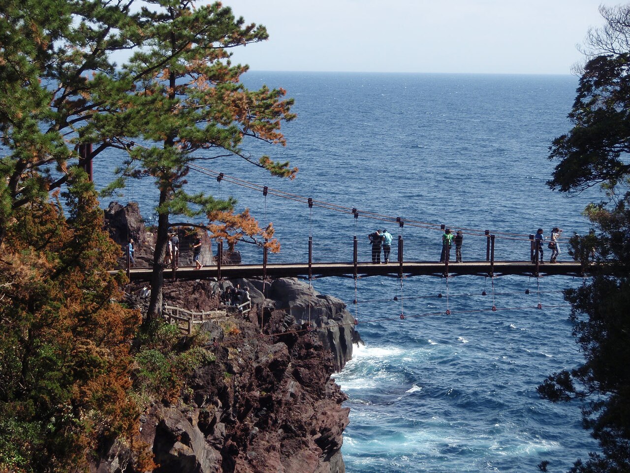
How to drive East Izu: a one-day route from Ito down to Kawazu and back over Amagi Pass, the Izu Skyline (no ETC), pampas grass at Inatori Hosono Kogen and the Kawazu cherry blossom season, roads and parking at each stop, roadworks and rules, and how to get there.
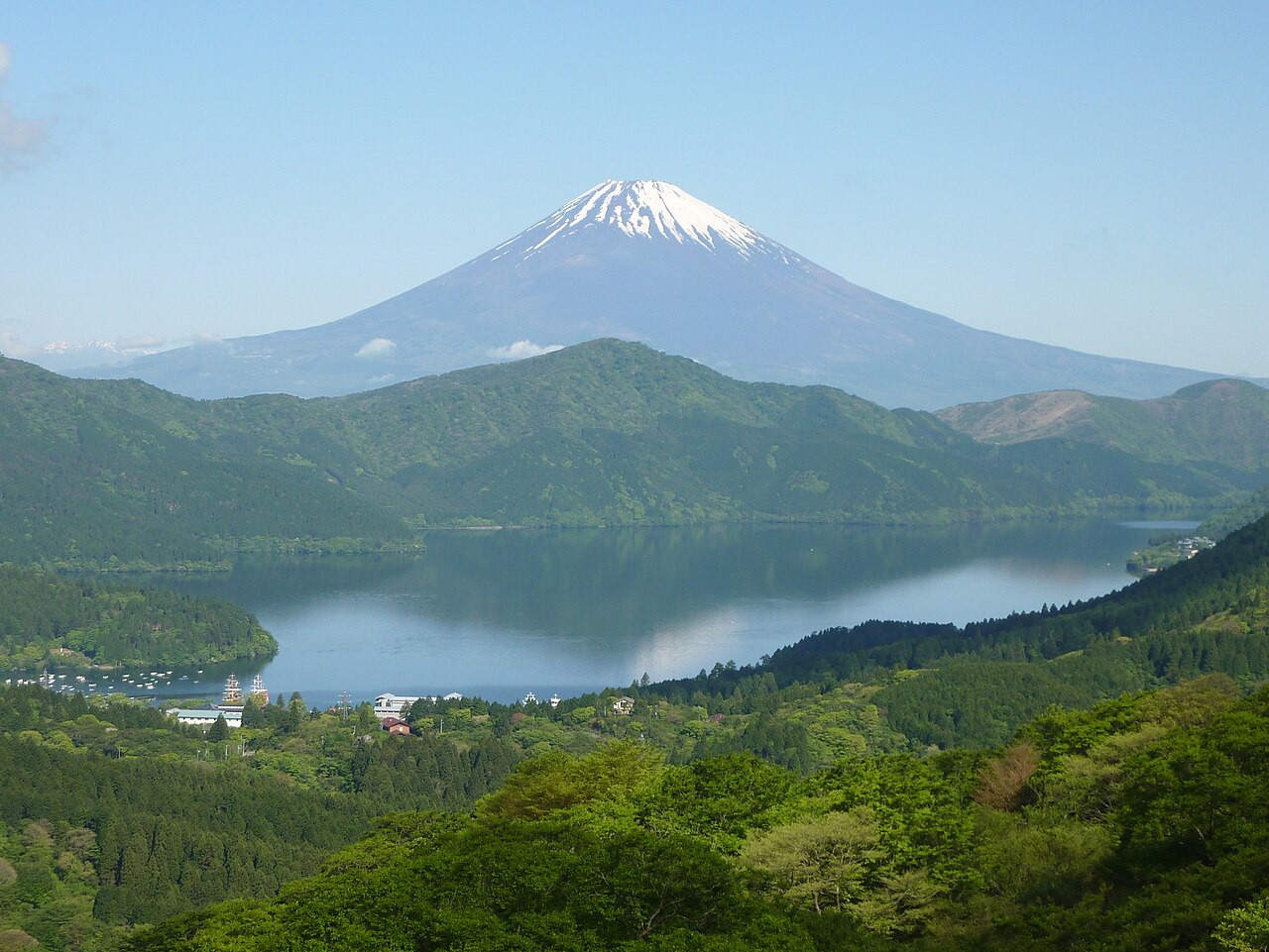
How to drive around Hakone: a one-day loop of Lake Ashi, Owakudani and Sengokuhara, tolls and hours of the Hakone Turnpike and Ashinoko Skyline (no ETC), parking at each stop, autumn leaf and pampas grass seasons, crowds and how to get there.

Can you drive in Japan on a US, UK or Australian license? Only with a 1949 Geneva international driving permit. Licenses from Switzerland, Germany, France, Belgium, Monaco and Taiwan need an official Japanese translation instead. How long each lasts, where to get it and what to carry.
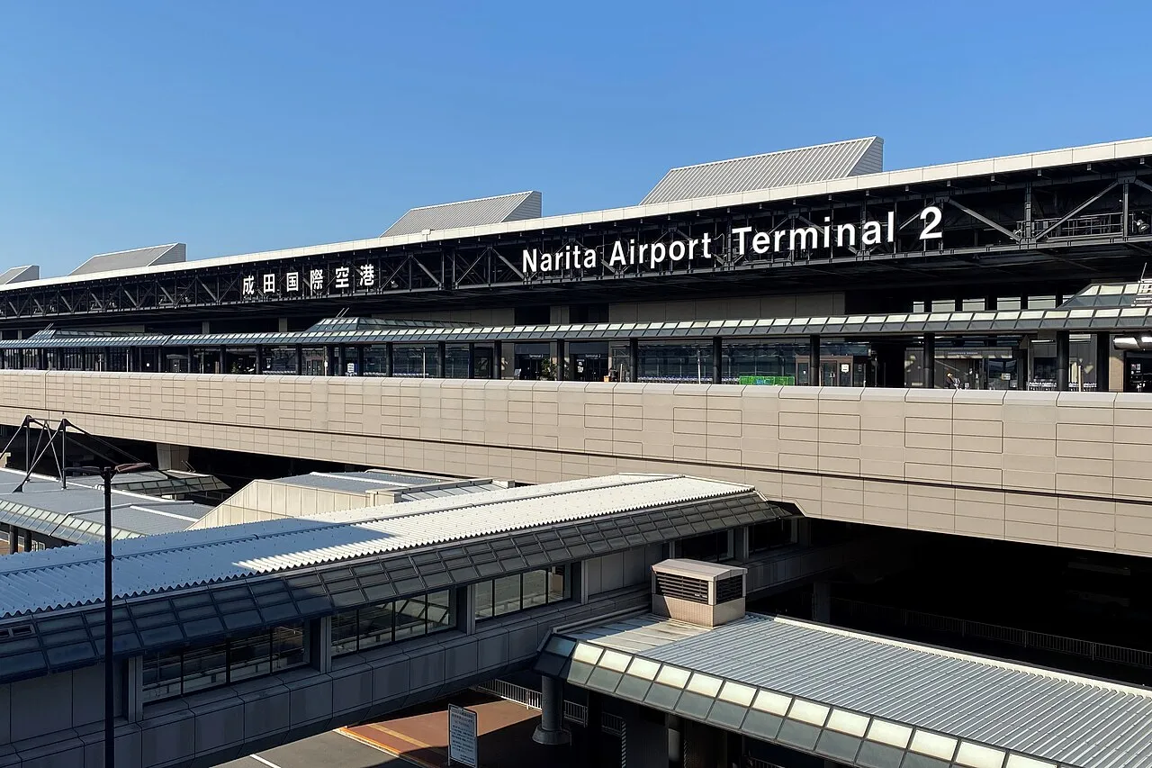
Where the Toyota, Nippon, ORIX, Times and Nissan counters are at Haneda, Narita and Kansai airports, how long the shuttle to the store takes, closing times, documents, ETC cards, child seats and how early to return the car.

Closing and planned reopening dates for Japan's mountain roads in winter 2026–27, earliest first: Mt. Norikura, Shiga-Kusatsu Road, Zao Echo Line, Bandai-Azuma Skyline, Kamikochi, Venus Line and more, with roads whose dates are not yet announced.
