
Nippon Rent-A-Car
Yokohama Station West Exit
About 1 minute on foot from Yokohama Station north-west exit, across Tsuruya Bridge.
Area
How to drive around Hakone: a one-day loop of Lake Ashi, Owakudani and Sengokuhara, tolls and hours of the Hakone Turnpike and Ashinoko Skyline (no ETC), parking at each stop, autumn leaf and pampas grass seasons, crowds and how to get there.
Edited by Drive Scape Japan · Updated: · Sources verified:
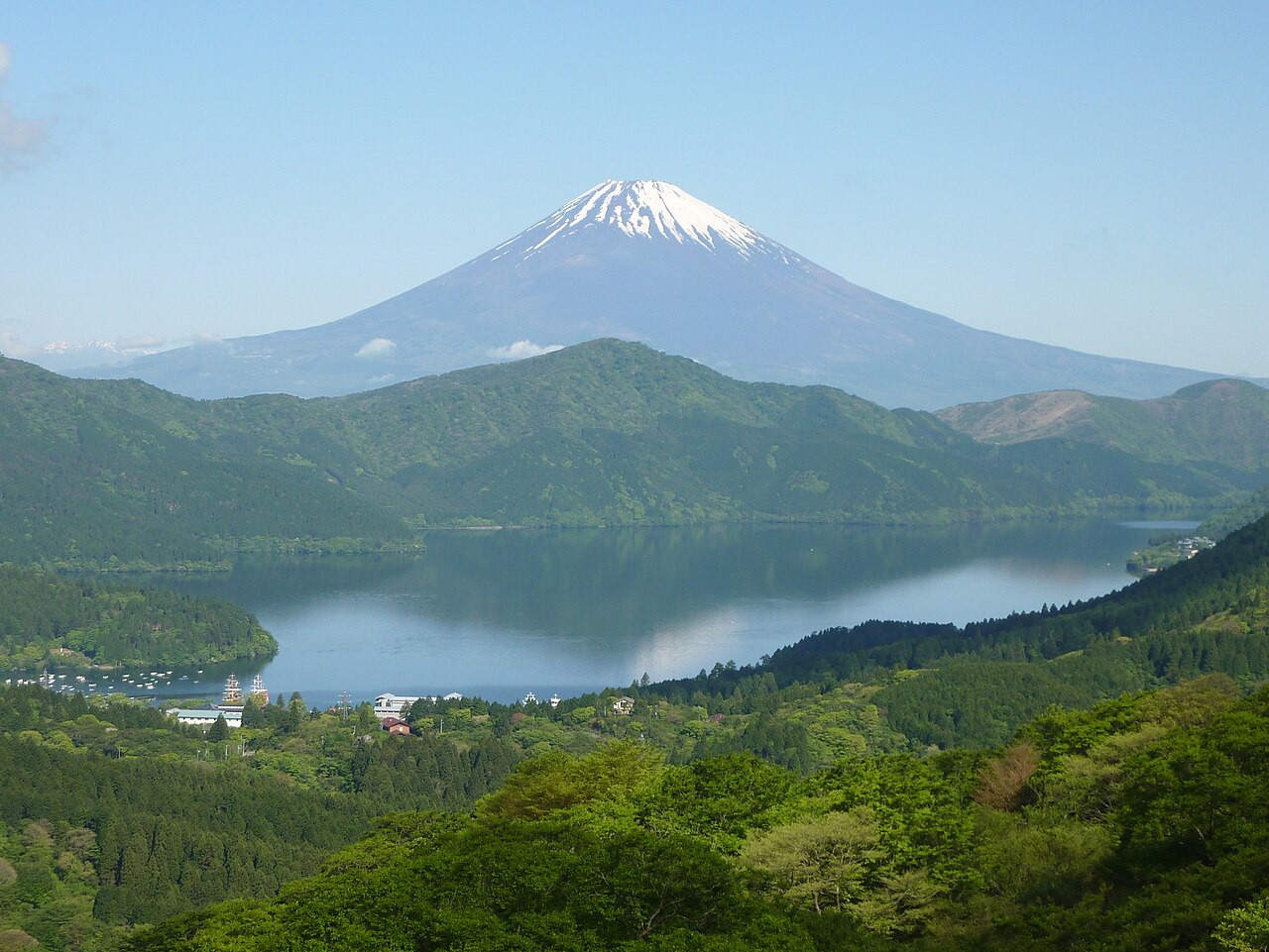
Climb from Odawara to Lake Ashi by the Hakone Shindo and loop the Hakone Checkpoint, Onshi-Hakone Park, Hakone Shrine, Owakudani and Sengokuhara in a day (about 61 km, about 1 h 50 min of driving, no tolls)
About 40 minutes from Odawara-nishi IC to the Hakone Checkpoint; about 25 minutes from Gotemba IC to Sengokuhara
Owakudani is at volcanic alert level 1; the road past the junction closes 17:00–9:00. The Hakone Turnpike does not take ETC. No winter closures, but winter tyres are requested December–March
As of 26 October 2026.
Times to Michi-no-Eki Hakone-toge, calculated from map data without traffic.
Closures and weather change day by day, so check these pages before you set off.
Nippon Rent-A-Car
About 1 minute on foot from Yokohama Station north-west exit, across Tsuruya Bridge.
Nippon Rent-A-Car
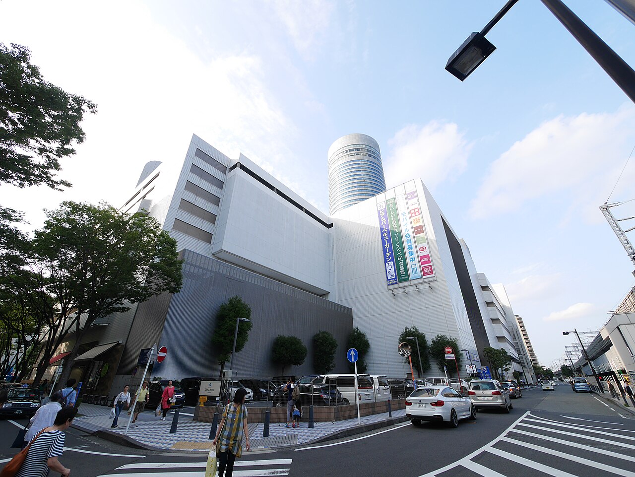 Building photo ↗
運転太郎 · CC BY 3.0 · Source · 2015-08-08
About 2 minutes on foot from Shin-Yokohama Station.
Nippon Rent-A-Car
About 2 minutes on foot from Keikyu Kawasaki Station central exit.
Nippon Rent-A-Car
About 1 minute on foot from JR Sakuragicho east exit or subway North Exit 2, opposite the Washington Hotel.
Hakone is a mountain resort area in Kanagawa Prefecture, centred on the town of Hakone. Lake Ashi, the volcanic valley of Owakudani, the Sengokuhara highlands and mountain passes with views of Mt. Fuji are all close together. You can reach it in under an hour from both Odawara-nishi IC and Gotemba IC. This page sets out a one-day loop of Lake Ashi, Owakudani and Sengokuhara, a few scenic drives, and lists the roads and places to stop.
Line: Odawara → 1 → 2 → 3 → 4 → 5 → 6 → 7 → Miyanoshita → Odawara
The map could not be loaded. Use the junction-by-junction directions below.
The line on the map is the route described below under "First visit: one day around Lake Ashi, Owakudani and Sengokuhara". The numbers are places to stop: green for views and nature, blue for roadside stations (michi-no-eki). Hover over or tap a number to see its name.
From Odawara, climb the Hakone Shindo bypass to Hakone Pass, then take in Michi-no-Eki Hakone Toge, the Hakone Checkpoint, Onshi-Hakone Park and Hakone Shrine on the south side of Lake Ashi. Drive up the east shore to Togendai, go through Owakudani and Sengokuhara, and come back down Route 1 from Miyanoshita to Odawara. The loop is about 61 km and about 1 hour 50 minutes of driving. Distance and time are calculated from map data and do not include traffic.
The Owakudani car park closes at 16:20 (16:00 in December and January), and the road beyond the Owakudani junction is closed from 17:00 to 9:00 the next morning. On busy days the wait for the car park is long, so aim to arrive by early afternoon. This loop uses no toll roads.
From Odawara, the Hakone Turnpike (13.8 km, ¥900 for a standard car) climbs to Taikanzan, with Mt. Fuji and Lake Ashi on one side and the sea, Hatsushima and Oshima on the other. From Taikanzan you can go down Prefectural Road 75 to Lake Ashi, stop at Onshi-Hakone Park and the Hakone Checkpoint, and return by the Hakone Shindo. ETC cards cannot be used on the Turnpike; pay at the toll booth.
The Ashinoko Skyline (10.7 km, ¥1,000 for a standard car) runs along the ridge west of Lake Ashi, and from Mikuni Pass you see the whole of Mt. Fuji. The toll booths take cash only, and the road is open from 7:00 to 19:00. Past Kojiri Pass, the Hakone Skyline (5 km, ¥500) takes you down to Gotemba.
| Road | What it is | Length and toll | Hours and rules |
|---|---|---|---|
| Hakone Turnpike | Toll road from Hayakawa in Odawara up to Taikanzan | 13.8 km, ¥900 for a standard car. No ETC; pre-registered ETCX works | 5:30–22:30 (last entry 22:00). No motorcycles of 125 cc or less, mopeds or bicycles |
| Ashinoko Skyline | Toll road along the ridge west of Lake Ashi, from Hakone Pass to Kojiri Pass | 10.7 km, ¥1,000 (¥200 for the Kojiri section only). Cash only | 7:00–19:00; the main road is closed outside these hours |
| Hakone Skyline | Toll road from Kojiri Pass down to Gotemba | 5 km, ¥500. Cash, coupons or e-money (no ETC or credit cards) | Usually 8:30–17:30 on weekdays and 7:00–18:30 on weekends and holidays (varies by season) |
| Route 1 | From Hakone-Yumoto through Miyanoshita, Kowakudani and Moto-Hakone, over Hakone Pass to Mishima | Free | Yumoto–Gora–Hakone Pass often has traffic jams |
| Hakone Shindo | Route 1 bypass from the Odawara side up to Hakone Pass | Free | Wide road that climbs past the old winding road |
| Route 138 | From Miyanoshita through Sengokuhara, over Otome Pass to Gotemba | Free | — |
| Prefectural Road 75 | From Taikanzan down towards Hakone Pass, and along the east shore of Lake Ashi from Moto-Hakone to Kojiri | Free | Reaches Taikanzan without a toll road |
| Prefectural Road 732 (old Hakone road) | From Yumoto through Hatajuku, up the hairpins to Moto-Hakone | 10.7 km, free | Slightly narrow through the villages |
Routes 1 and 138 and Prefectural Roads 75 and 732 close when rain reaches 50 mm in an hour or 200 mm in total. No road here closes for winter.
The numbers match the map.
| No. | Place | Parking | Notes |
|---|---|---|---|
| 2 | Hakone Checkpoint | No car park of its own; use the town's Hatcho car park nearby (24 cars, free) | 9:00–17:00 (16:30 from December to February), adults ¥500. Allow about 45 minutes |
| 3 | Onshi-Hakone Park | 62 cars. ¥500 on weekdays, ¥1,000 on holidays (per visit). 7:00–21:00 (entry until 19:00) | Free entry. Views over the lake and Mt. Fuji |
| 4 | Hakone Shrine and Moto-Hakone | Car parks in the shrine grounds; the town's Hatcho car park (24 cars, free) | Traffic around the shrine is often heavy on holidays |
| 5 | Togendai and Kojiri | Kojiri port car park: free on weekdays, paid on weekends and holidays | North end of Lake Ashi; entrance to the Kojiri section of the Ashinoko Skyline |
| 6 | Owakudani | 147 cars. Up to ¥1,300 on weekdays, up to ¥2,600 on holidays. 9:00–16:20 (16:00 in December and January) | Volcanic alert level 1. The road beyond the junction closes 17:00–9:00 |
| 7 | Sengokuhara pampas grass fields | Free car park nearby | Pampas grass from late October to mid-November. 700 m walking path |
| 8 | Taikanzan | Car park at the Sky Lounge (number of spaces not published) | 1,011 m. Views of Mt. Fuji, Lake Ashi and the sea. EV charger |
| 9 | Rest House Lake View | Free (Ashinoko Skyline toll applies) | Looks down on Lake Ashi and Mt. Komagatake. 9:00–17:00 |
| — | Mikuni Pass | Free (Ashinoko Skyline toll applies) | Best viewpoint on the Ashinoko Skyline, with the whole of Mt. Fuji |
At Owakudani, people with asthma or heart conditions, or who feel unwell, should not get out of the car. On windy days, hold the doors when you open them.
| No. | Station | Parking | Notes |
|---|---|---|---|
| 1 | Michi-no-Eki Hakone Toge | 23 cars, 8 large vehicles, open 24 hours | 9:00–17:00, toilets 24 hours. The only roadside station in Hakone town |
| When | What to see |
|---|---|
| Spring | About 1,000 cherry trees line the Hakone Turnpike, with a cherry blossom tunnel between km 2 and 7 |
| Late October–November | Pampas grass at Sengokuhara; autumn leaves at Moto-Hakone in early to mid-November. Yumoto keeps its colour the longest |
| Winter | No road closes for winter. From 1 December to 31 March the prefecture asks drivers crossing Hakone to use winter tyres |
As of 22–23 October, the autumn leaves at Sengokuhara, Miyanoshita, Yumoto, Kojiri and Moto-Hakone were just starting to turn.
| From | Time |
|---|---|
| Odawara-Atsugi Road, Odawara-nishi IC | About 40 minutes to the Hakone Checkpoint via the Hakone Shindo |
| Tomei Expressway, Gotemba IC | About 25 minutes to Sengokuhara, about 50 minutes to the Hakone Checkpoint |
| Route 1 from Mishima | About 40 minutes to the Hakone Checkpoint |
| Tomei Expressway, Numazu IC | About 28 minutes to Hakone via the Izu-Jukan Expressway |
From the Odawara side, Odawara-nishi IC to Hakone-guchi IC takes about 5 minutes; once on the Hakone Shindo you climb to Hakone Pass on a wide road. From the Gotemba side, take Route 138 over Otome Pass into Sengokuhara.
Do not count on finding a petrol station in the mountains; fill up in Odawara or Gotemba before you climb. There is an EV rapid charger at the Taikanzan Sky Lounge car park (5:30–22:30).
Seven rental shops operate around Odawara Station, and shops near Mishima Station serve the Gotemba side. Driving in Japan on a foreign licence needs a 1949 Geneva international driving permit or an official Japanese translation; see Driving in Japan on a Foreign License. If you are picking up a car at the airport, see Renting a Car at Haneda, Narita or Kansai Airport: Pickup and Return.
Climb from Odawara to Lake Ashi by the Hakone Shindo, visit the Hakone Checkpoint, Onshi-Hakone Park and Hakone Shrine, then return via Owakudani and Sengokuhara. It is about 61 km and about 1 hour 50 minutes of driving, with no tolls.
Yes. The volcanic alert level is 1, and the car park is open from 9:00 to 16:20 (16:00 in December and January). The road beyond the Owakudani junction is closed from 17:00 to 9:00, so you cannot go there at night.
No. The Hakone Turnpike does not take ETC (only pre-registered ETCX). The Ashinoko Skyline takes cash only, and the Hakone Skyline takes cash, coupons or e-money.
No road closes for winter, but from 1 December to 31 March the prefecture asks drivers crossing Hakone to use winter tyres. On snowy days a "chains or winter tyres required" notice is issued.
Moto-Hakone is at its best from early to mid-November, and Yumoto keeps its colour the longest. The pampas grass at Sengokuhara is from late October to mid-November.
Last verified: 2026-10-26
Filter by pickup prefecture, vehicle type or station to compare access and opening hours.

Closing and planned reopening dates for Japan's mountain roads in winter 2026–27, earliest first: Mt. Norikura, Shiga-Kusatsu Road, Zao Echo Line, Bandai-Azuma Skyline, Kamikochi, Venus Line and more, with roads whose dates are not yet announced.

Can you drive in Japan on a US, UK or Australian license? Only with a 1949 Geneva international driving permit. Licenses from Switzerland, Germany, France, Belgium, Monaco and Taiwan need an official Japanese translation instead. How long each lasts, where to get it and what to carry.
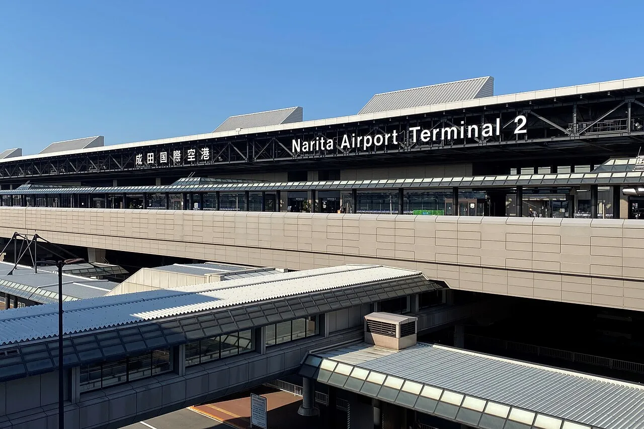
Where the Toyota, Nippon, ORIX, Times and Nissan counters are at Haneda, Narita and Kansai airports, how long the shuttle to the store takes, closing times, documents, ETC cards, child seats and how early to return the car.
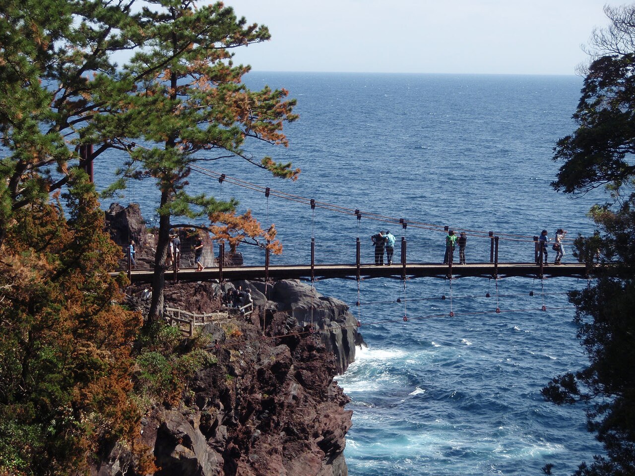
How to drive East Izu: a one-day route from Ito down to Kawazu and back over Amagi Pass, the Izu Skyline (no ETC), pampas grass at Inatori Hosono Kogen and the Kawazu cherry blossom season, roads and parking at each stop, roadworks and rules, and how to get there.
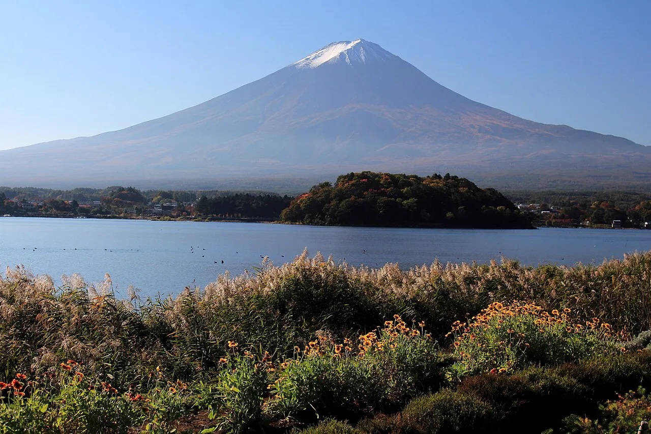
How to drive around the Fuji Five Lakes: a one-day loop of the four western lakes from Lake Kawaguchi to Lake Motosu, Mt. Myojin Panorama-dai and Oshino Hakkai, Fuji Subaru Line tolls and hours (no ETC), parking at each stop, autumn leaf crowds and how to get there.
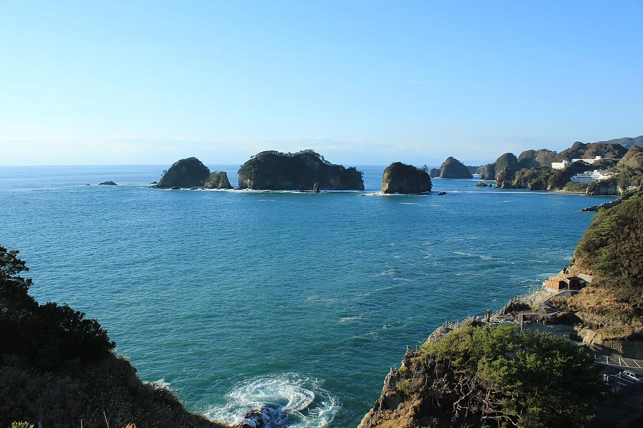
How to drive West Izu: a one-day route from the Nishi-Izu Skyline down to Toda and south along the coast to Kumomi, the best sunset spots, rain closures, parking at each stop, how to get there and where to fill up.
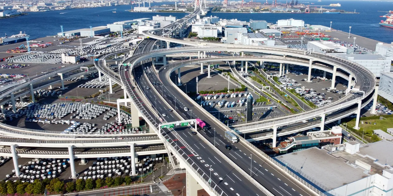
Daikoku Parking Area in Yokohama can only be entered by car from the Shutoko expressway. You cannot walk in, there is no taxi stand or bus stop, and it can close at times that are not announced. Access, facilities, tolls and ETC, closures and enforcement, from official sources.
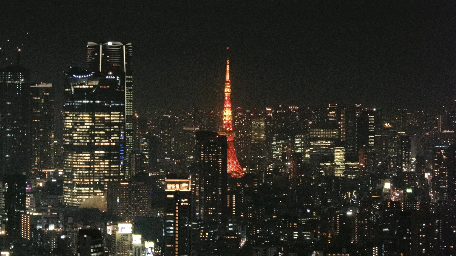
A two-hour night loop on Tokyo's Shutoko expressway from Ueno and back: Rainbow Bridge, Haneda Airport, Yokohama Bay Bridge, Tokyo Skytree and Tokyo Tower. Five highlights, junction-by-junction directions, and what visitors need: an IDP, an ETC card, tolls and where to stop.