DRIVE SCAPE JAPAN
Driving routes
Find suggested stops, trip lengths and return plans for a drive from your starting point.
17 guides
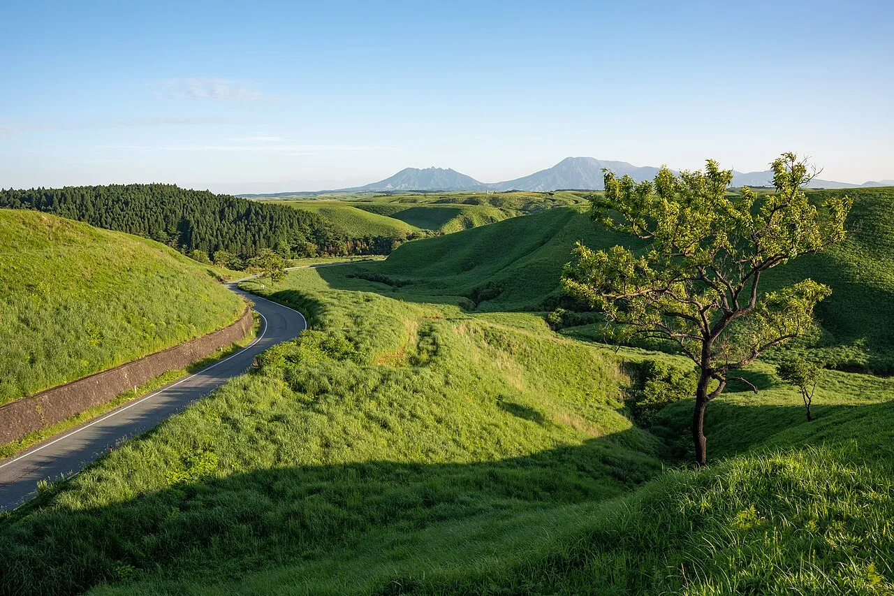
Aso and Yamanami Highway Day Drive: Map, Times, Parking and Crater Restrictions
A day drive from Kumamoto Airport via Kusasenri and Daikanbo, then along the Yamanami Highway to Makinoto Pass and Chojabaru. Map, distances and times, parking fees, crater restrictions, spring grass burning, winter roads, return routes and fuel.
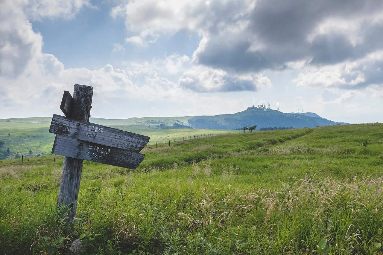
Driving to Utsukushigahara: Car Parks, Walks to Ogato and Winter Closures
Drive to the 2,000 m Utsukushigahara plateau in Nagano: no cars on top, which car park suits Ogato, the museum or Utsukushi-no-to, walking times, closed roads and the winter closure from 18 November.
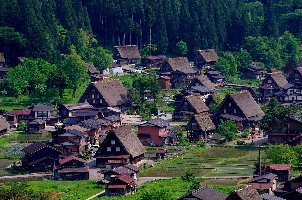
Hida-Takayama and Shirakawa-go 2-Day Drive: Morning Route, Parking and Winter Rules
Stay in Takayama and drive to Shirakawa-go early the next morning. Map and distances, the free Chubu-Jukan Expressway and toll Tokai-Hokuriku Expressway, Shirakawa-go parking and the 09:00–16:00 entry rule, 2027 illumination bookings, winter tyres, return routes and fuel.
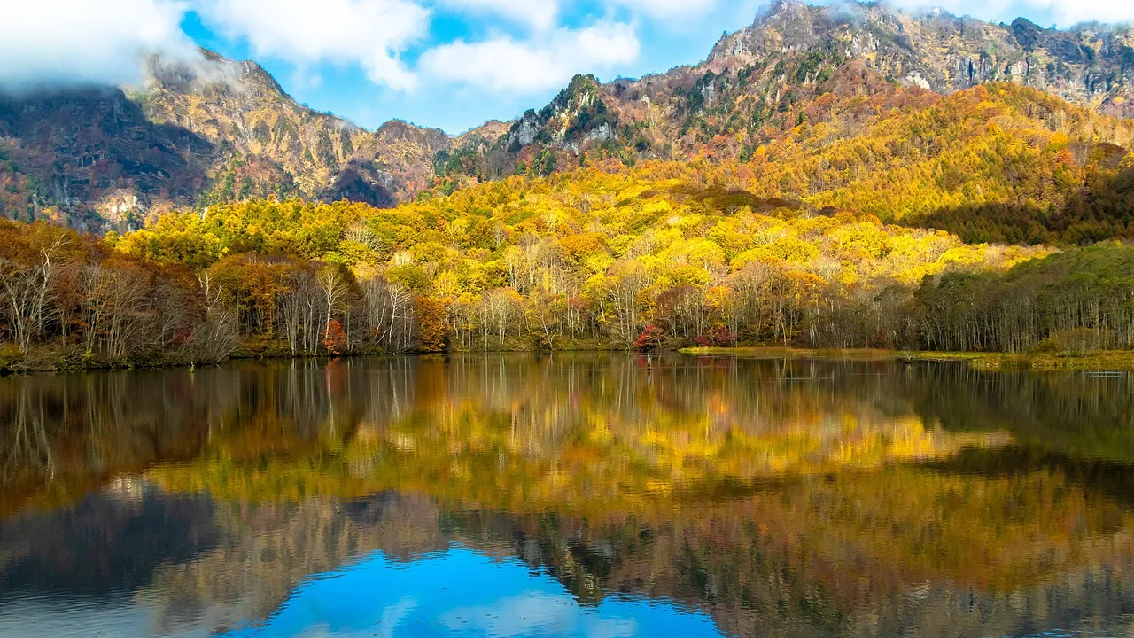
Kagami Pond, Togakushi by Car: Autumn One-Way Rule, Parking and Winter Closure
Driving to Kagami Pond in Togakushi (1,200 m, 50 parking spaces): the autumn 2026 one-way rule from 10 October to 3 November, which entrance to use, shrine-area parking fees, the winter road closure and the bus from Nagano Station.
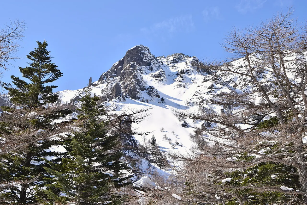
Kurumazaka Pass and Takamine Kogen Drive: Cherry Park Line in Winter, Parking and Map
From Komoro IC, the 18 km Cherry Park Line climbs to Takamine Kogen at 2,000 m. Winter tyres, car parks that fill on weekend mornings, the winter closure of the forest road to Takamine Onsen and Ikenotaira Wetland, the Mt Kurofu trailhead and the bus from Komoro Station.
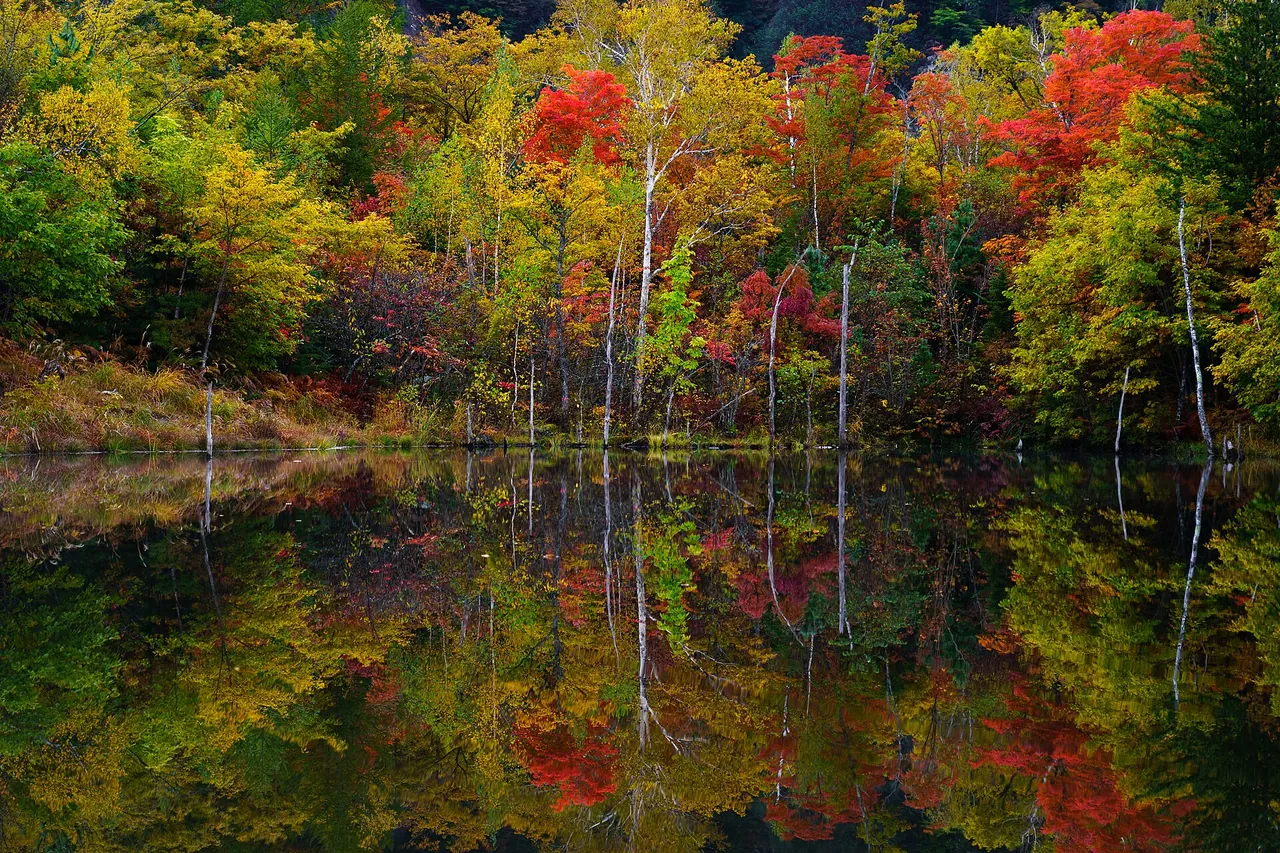
Norikura Kogen by Car: Tatamidaira Buses, Private-Car Ban, Free Parking and Autumn Colours
You can drive to Norikura Kogen, but private cars cannot go above Sanbondaki on the Norikura Echo Line. Free car parks, the Tatamidaira shuttle (finished for 2026), winter closures and autumn colours.
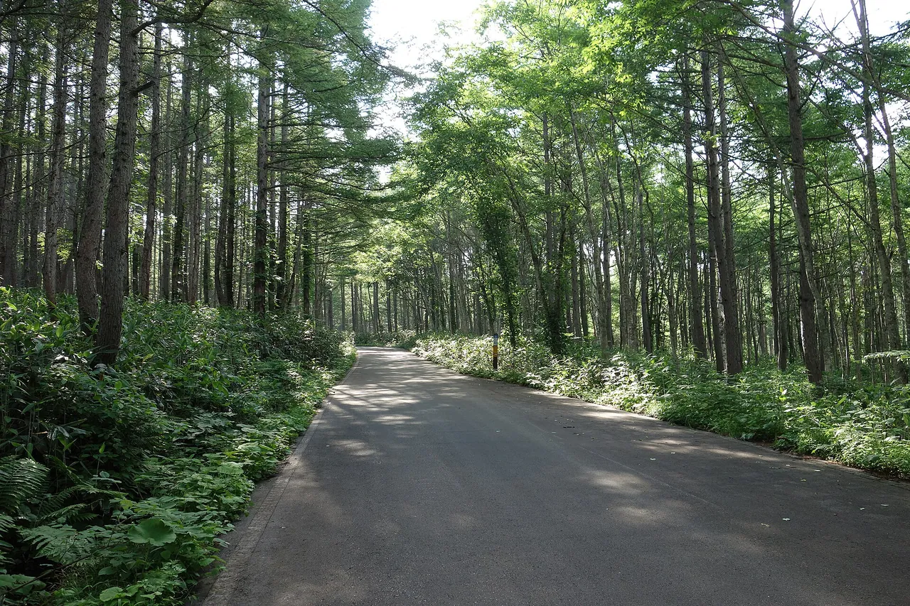
Okushiga Forest Road Drive: Winter Closure, Road Closures, Akiyama-go and Kayanodaira
Drive the Okushiga Forest Road (Prefectural Route 502) from Okushiga Kogen towards Akiyama-go and Kayanodaira: the 4 November winter closure, the Nozawa Onsen closure until 2027, large-vehicle ban and waterfalls.
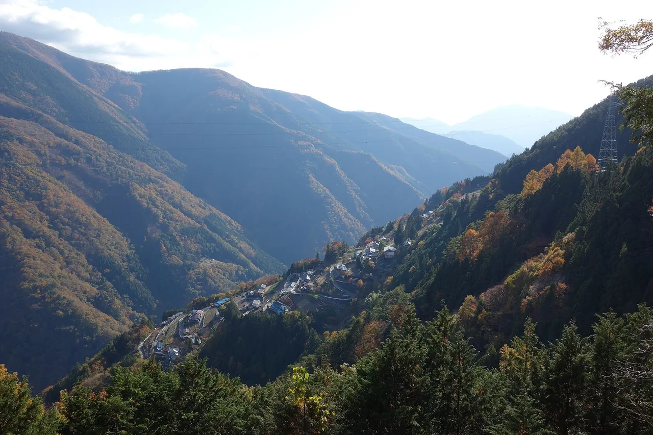
Shimoguri no Sato by Car: Narrow Road Rules, Parking, Viewpoint and Shirabiso
Driving to Shimoguri no Sato in Iida (800–1,100 m): the 7 m vehicle limit and uphill-priority road rules, the 20-minute walk to the viewpoint from Hanbatei parking, autumn colour, and the only current road to Shirabiso Kogen.
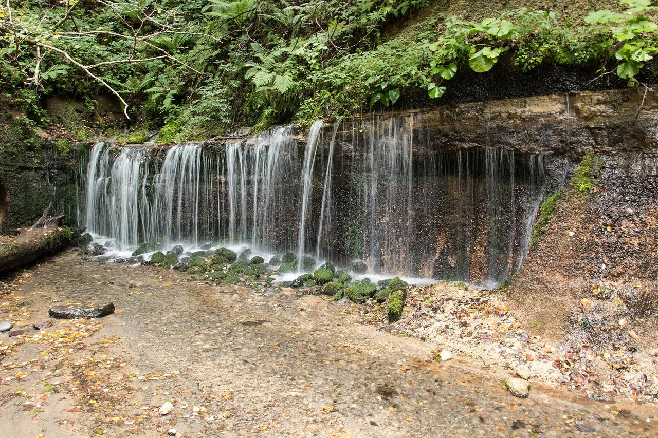
Shiraito Highland Way Drive: Toll, Shiraito Falls Parking, Winter Tyres and Map
A 10 km toll road from Mikasa in Kyu-Karuizawa past Shiraito Falls to Minenochaya. The ¥500 toll, parking at Shiraito and Ryugaeshi falls, the daytime closure on four days between 16 and 20 November 2026, winter tyres and the link to the Onioshi Highway.
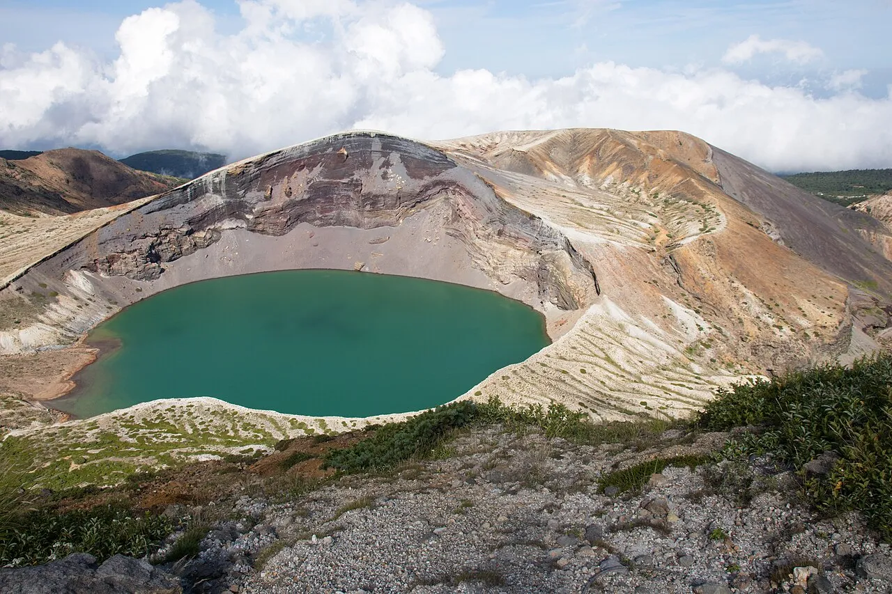
Zao Echo Line and Okama Crater Drive: Map, Tolls, Winter and Night Closures
A day drive from Murata IC up the Zao Echo Line, with stops at Takimidai and Komakusadaira, then the Zao Highline to Okama crater. Map and distances, Highline toll and hours, the winter closure from 4 November 2026, night closures, return routes and fuel.
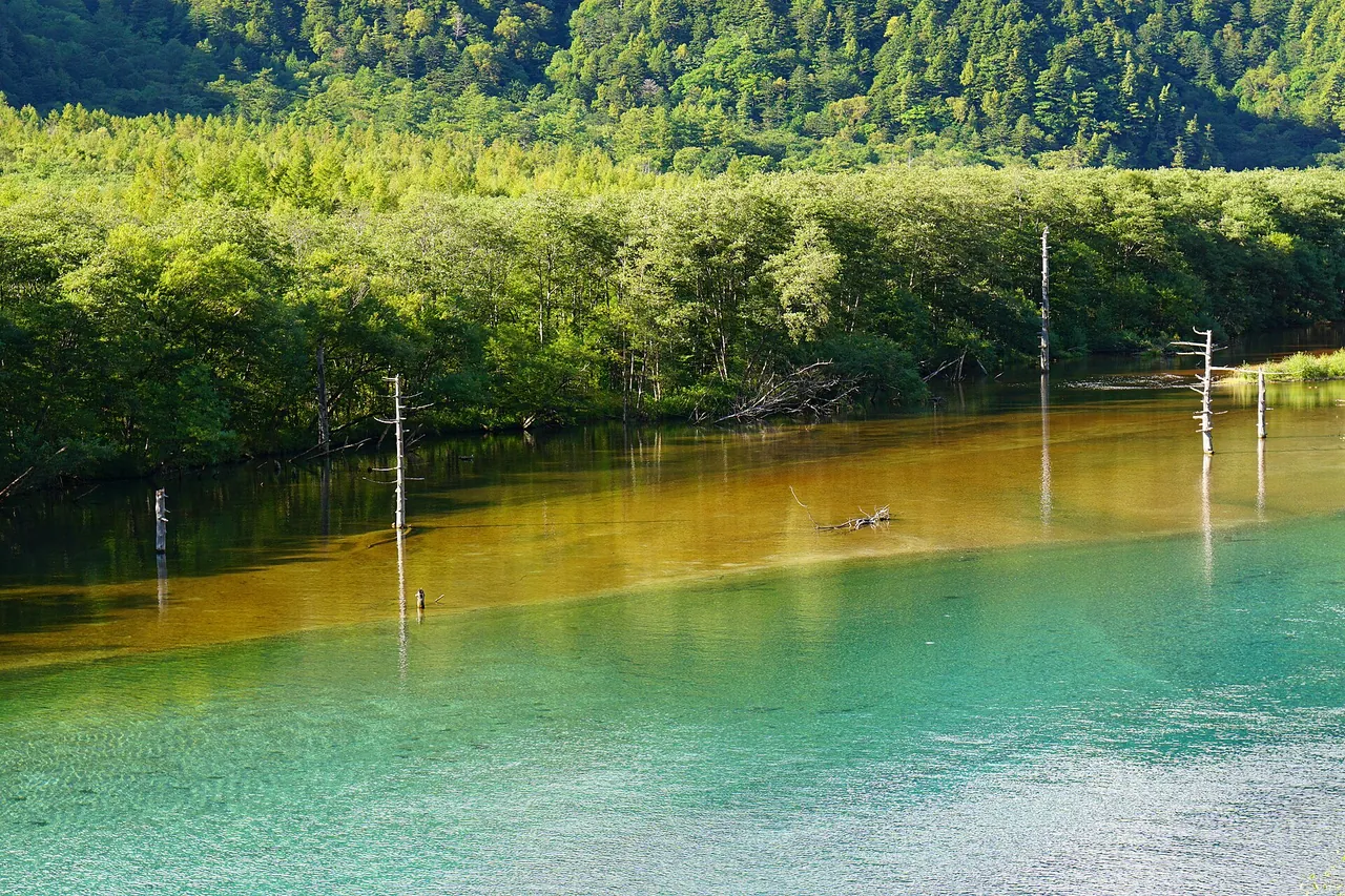
Kamikochi by Car: Sawando and Hirayu Parking, Bus Fares and Access Rules
Drive to Sawando or Hirayu Akandana, then change to a bus or taxi for Kamikochi. Compare parking, fares, walking times, busy dates and the 2026–27 winter closure.
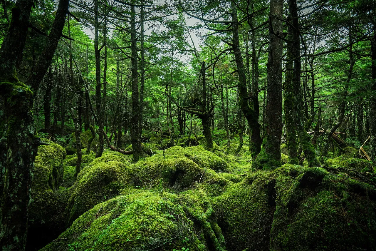
Marchen Kaido Drive: Mugikusa Pass, Shirakoma Pond and Winter Closures
Cross Nagano’s 2,127 m Mugikusa Pass on Route 299. Plan Yokoya Gorge, Shirakoma Pond, parking and roadside stops around winter closures and seasonal bus services.
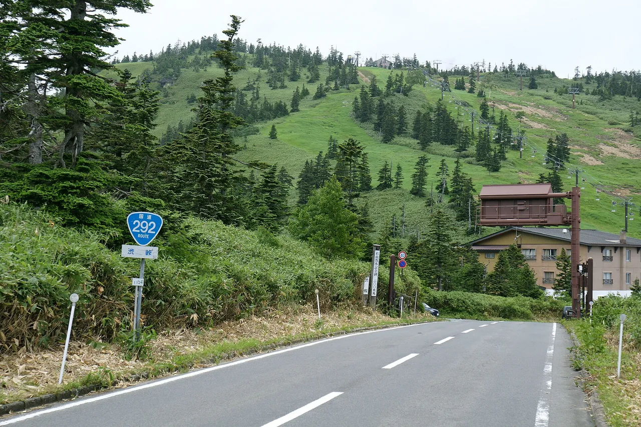
Shiga-Kusatsu Road Drive: Shibu Pass, Route Map and Winter Closures
Cross Shibu Pass on Route 292 between Kusatsu and Shiga Kogen. Plan the viewpoints, parking, lifts and pond walks around current volcanic rules and winter closures.
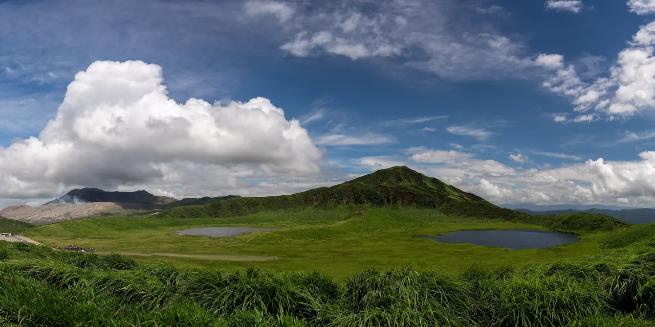
Six of Japan's Best Scenic Roads: 2026 Winter Closures, Access and Parking Compared
Venus Line, Bandai-Azuma Skyline, Hachimantai Aspite Line, Shikoku Karst, Shibu Pass and Mt Aso compared by length and height, 2026–27 winter closures, distance from the expressway and parking.

Three Day Drives from Tokyo in Kanto: Miura, Kisarazu and Nagatoro by Purpose
Choose a Kanto day drive by what you want to do: walk Jogashima and Misaki on the Miura coast, stop at Umihotaru for Kisarazu, or park and walk Nagatoro's Iwadatami. Includes parking notes and return-time planning.
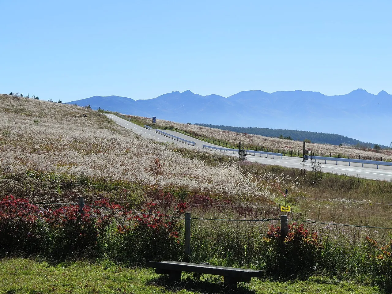
Venus Line Day Drive: Route Map, Stops, Parking and Winter Closures
Drive Nagano’s free 75.2 km Venus Line from Chino: a day-trip route, parking, walks, lift times, current approach-road restrictions and 2026–27 winter closures.
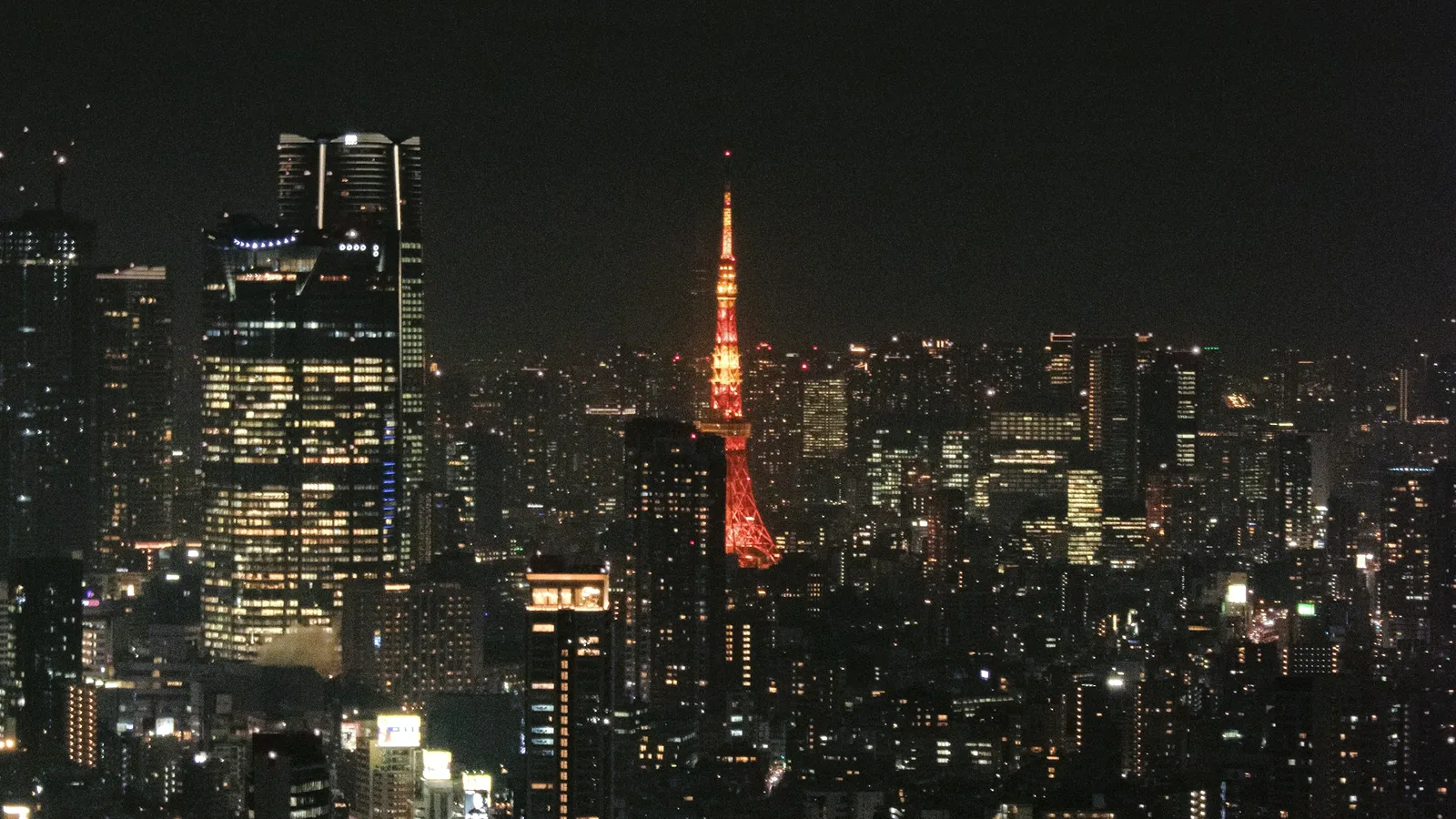
Shutoko Night Drive: A 2-Hour Loop from Ueno
A two-hour night loop on Tokyo's Shutoko expressway from Ueno and back: Rainbow Bridge, Haneda Airport, Yokohama Bay Bridge, Tokyo Skytree and Tokyo Tower. Five highlights, junction-by-junction directions, and what visitors need: an IDP, an ETC card, tolls and where to stop.