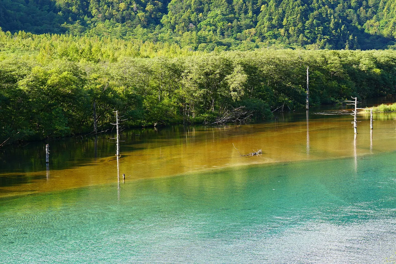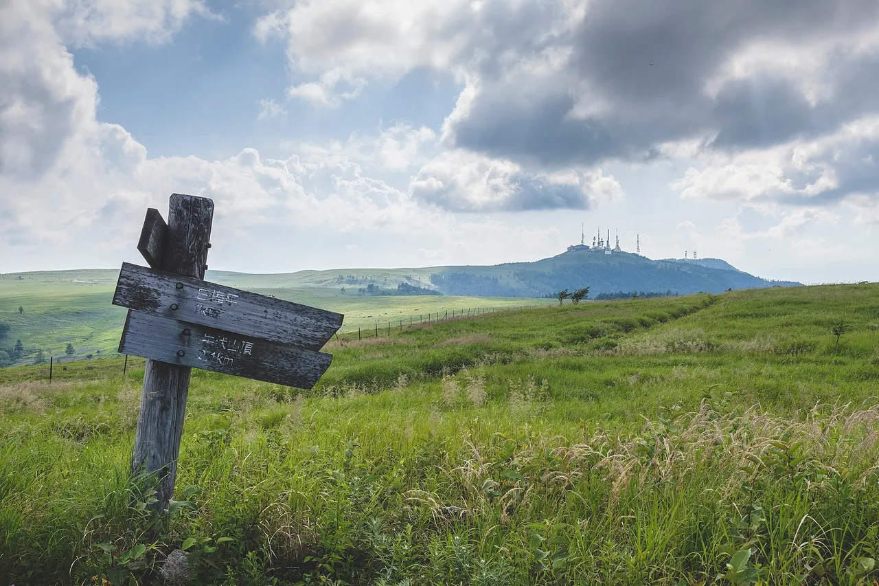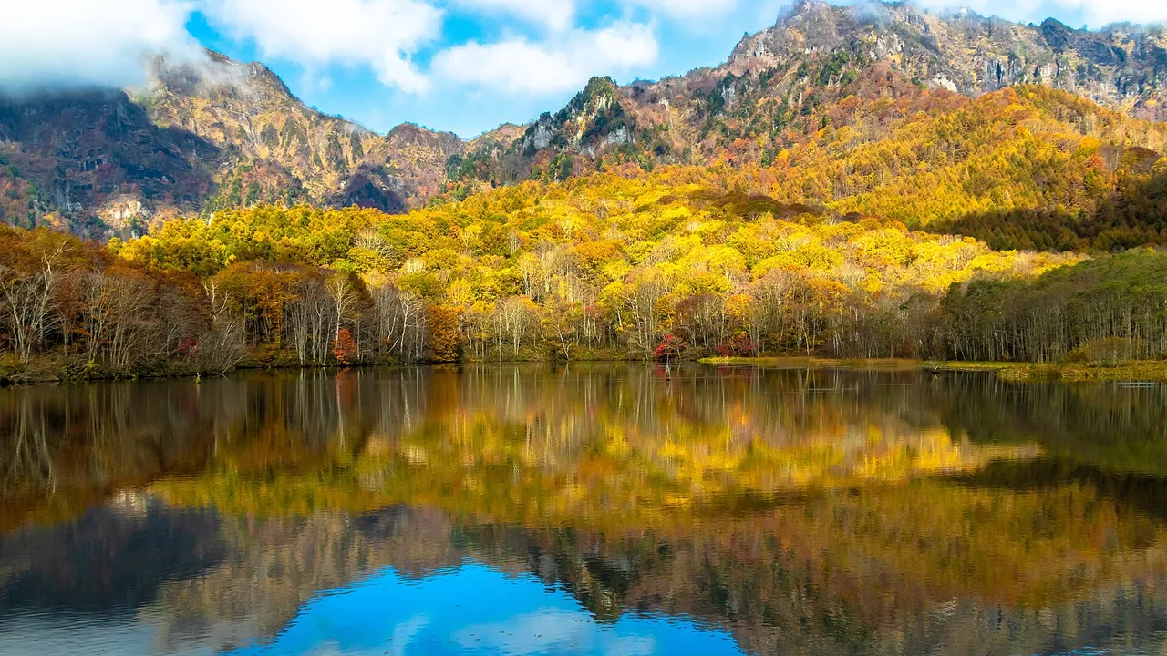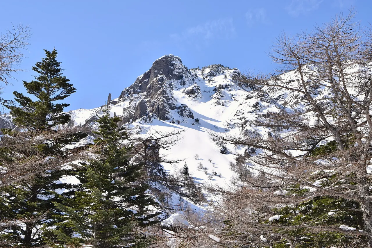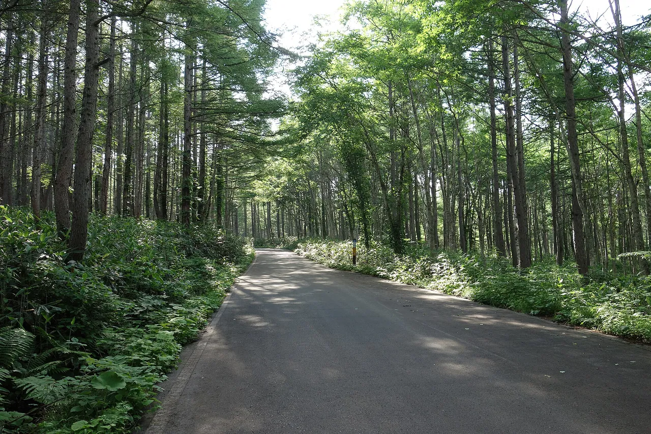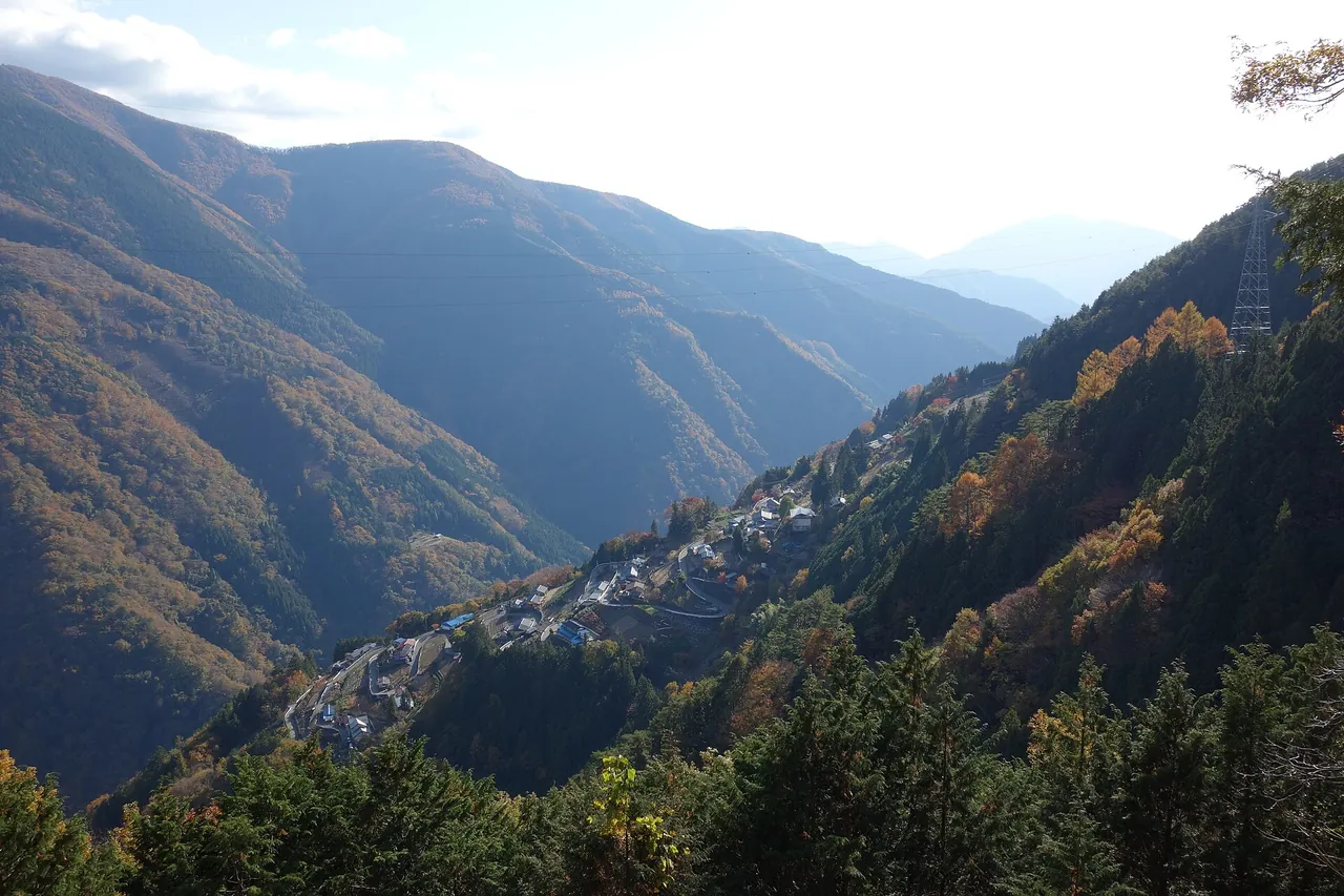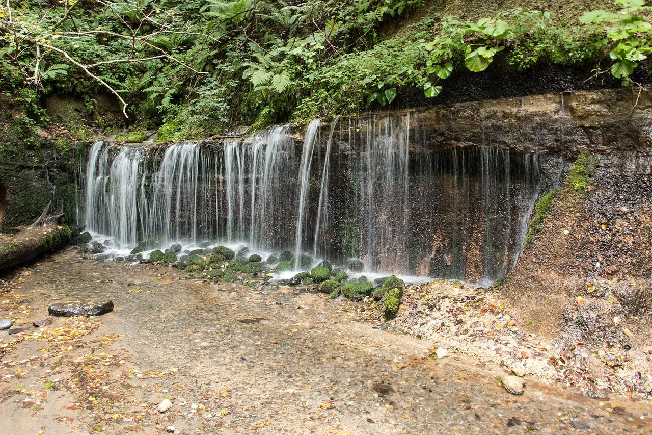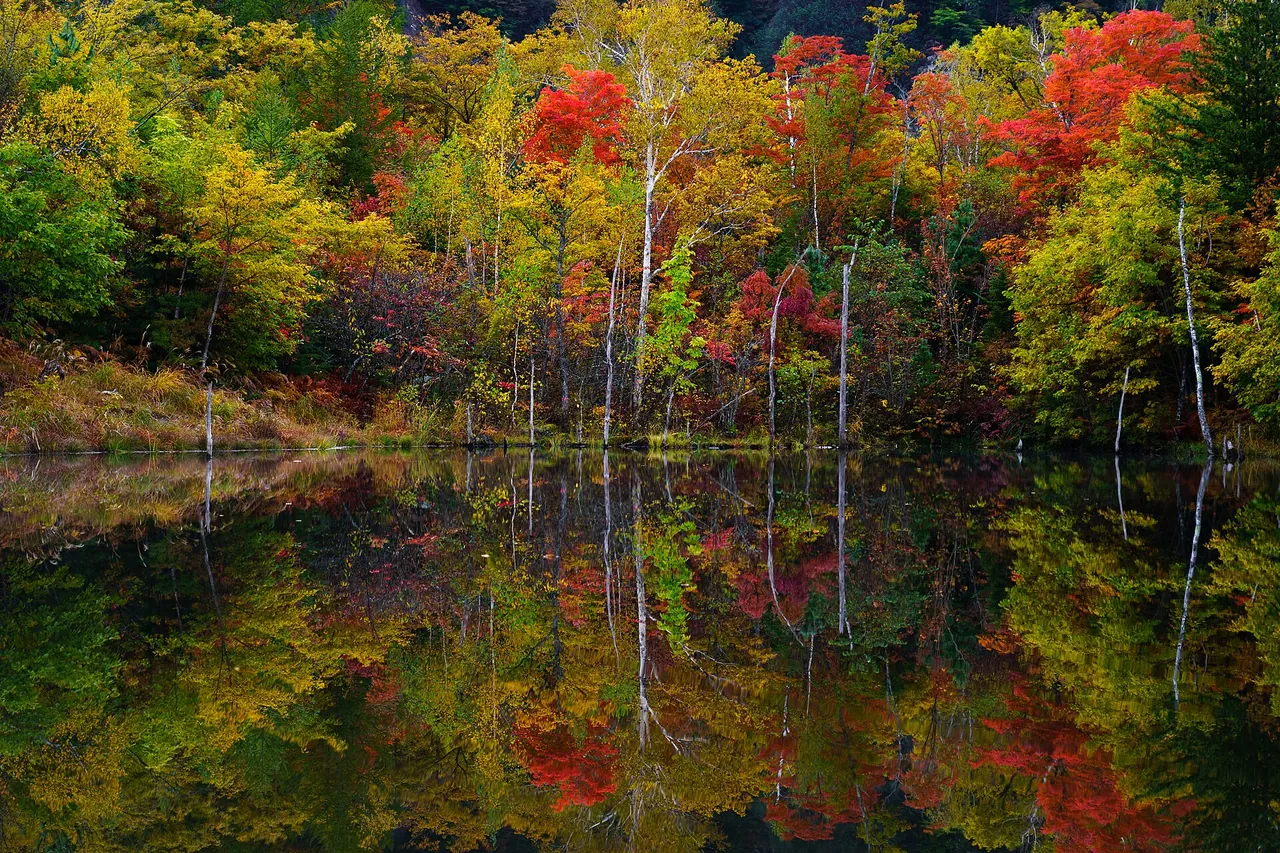
Norikura Kogen is a highland area at 1,200–1,800 m on the east side of Mt Norikura in Matsumoto, Nagano Prefecture. Ichinose Park and several waterfalls are scattered through its larch and white-birch woods.
You can drive to the Tourist Center and Ichinose Park, but private cars cannot go above Sanbondaki on the Norikura Echo Line (Prefectural Route 84), the road up Mt Norikura, at any time of year. To reach Tatamidaira at 2,700 m in season, leave your car in the free car park at the Tourist Center and take the shuttle bus. The 2026 shuttle has finished.
Norikura Kogen at a glance
| Item | Details |
|---|---|
| Location | Azumi, Matsumoto, Nagano Prefecture, in Chubu-Sangaku National Park. The Tourist Center stands at about 1,460 m |
| How far you can drive | To Norikura Kogen (the Tourist Center, Ichinose Park and Sanbondaki car park). Ordinary cars cannot go from Sanbondaki to the summit of Mt Norikura and Tatamidaira at any time of year |
| Parking | No. 1 car park (280 spaces) and No. 2 car park (50 spaces) in front of the Tourist Center are free. When full, use Yamaboshi or Sanbondaki car park |
| Bus to Tatamidaira | Tourist Center–Mt Norikura summit (Tatamidaira) shuttle. Scheduled 1 July–31 October in 2026 and finished for the year; priority to reservations; about 55 minutes. ¥2,450 up, ¥2,250 down (¥4,700 return, including a ¥200 contribution). From 27 April to 30 June 2026 the spring bus ran to Kuraigahara Sanso and Daisekkei |
| Winter | Above Sanbondaki, the winter closure began at 18:00 on 31 October 2026 and runs section by section until April–July 2027. Kyukamura–Sanbondaki is scheduled to close from 18:00 on 13 November 2026 to 11:00 on 9 April 2027 |
| Nearest interchange | Matsumoto IC on the Nagano Expressway, 45 km and about 55 minutes |
Map and car parks you can reach
- 1Norikura Kogen visitor centre car parks
- 2Yamaboshi car park
- 3Sanbondaki car park and gate
- 4Kuraigahara hut
- 5Tatamidaira
Matsumoto IC → 1 (park here) → 2 → 3 (end of the road for private cars) → by bus 4 → 5
The map could not be loaded. Use the junction-by-junction directions below.
The map shows the road from Matsumoto IC to the Tourist Center and Sanbondaki, and the shuttle-bus route from Sanbondaki to Tatamidaira. Park in front of the Tourist Center if you can. If it is full, drive a few minutes towards Mt Norikura to Yamaboshi car park. The fare from Kuraigahara Sanso to Tatamidaira is the same whichever car-park bus stop you board at.
| Car park | Spaces and cost | Nearest bus stop |
|---|---|---|
| No. 1 car park (in front of the Tourist Center) | 280 spaces, free. The first stop for buses to Mt Norikura is inside the car park | Norikura Kogen Tourist Center |
| No. 2 car park | 50 spaces, free | Norikura Kogen Tourist Center |
| Yamaboshi car park (No. 3 car park) | The largest in the highlands, 3–4 minutes by car towards Mt Norikura on Route 84 | Norikura Ski Area (formerly Suzuran Bridge) |
| Sanbondaki car park | The end of the road for private cars. Cyclists riding up also park here, so it fills easily | Sanbondaki |
The car parks in front of the Tourist Center can fill up on weekend and holiday mornings. There is also an unpaved car park across the prefectural road, and another just before the entrance to the forest road towards Shirahone Onsen, opposite Petit Hotel Alm. Even on the busiest days, not every car park fills up. If you change bus stop, you can still board your reserved service. Tell the bus staff about the change when you check in.
Sights and walking times
Tatamidaira by shuttle bus in about 55 minutes, with priority to reservations
In the 2026 season, the shuttle bus scheduled from 1 July to 31 October took about 55 minutes from Norikura Kogen Tourist Center (about 1,460 m) to the Mt Norikura summit area at Tatamidaira (2,700 m). The fare was ¥2,450 up and ¥2,250 down, or ¥4,700 return. The uphill fare included the ¥200 Mt Norikura vehicle-use contribution. Snow closed the road from 14:00 on 28 October, and the 2026 service has finished. Alpico Kotsu will announce the 2027 service separately.
In 2026, every service gave priority to reservations, which opened one month before travel on the web or by phone (Alpico Kotsu Mt Norikura reservation centre, 0570-055-588). Some times sold out, with no same-day tickets. Without a reservation you could board if seats remained, but reserve both directions. Late-afternoon services fill quickly, and it is difficult to change if you miss yours.
The flower fields are about 5 minutes on foot from the Tatamidaira bus stop and are at their best in July.
Kengamine (3,026 m), the highest point of Mt Norikura, takes about 1 hour 30 minutes to climb from Tatamidaira, or about 3 hours there and back. Mt Mao (about 15 minutes), Mt Daikoku (about 20 minutes) and Mt Fujimi (about 25 minutes) are shorter climbs.
Spring: the snow walls by spring bus (27 April–30 June)
Before July, a spring bus runs from Norikura Kogen Tourist Center to Kuraigahara Sanso and Daisekkei/Kata-no-Koya-guchi. In 2026 it started on 27 April as far as Kuraigahara Sanso and was extended to Daisekkei/Kata-no-Koya-guchi on 30 May. It cost ¥4,700 return (¥2,450 up, ¥2,250 down), with three services a day. The section served changes with the snowmelt, and bad weather or road conditions can cancel services.
There was no sunrise bus in fiscal 2026.
Drive to Ichinose Park and the three waterfalls
Ichinose Park and the "three great falls of Norikura" (Sanbondaki, Bansho Otaki and Zengoro) are all within reach by private car. Ichinose meadow has lingering snow in spring, fresh green in summer, autumn colours and snowfields in winter. Autumn colours descend from near the summit of Mt Norikura to the highlands from mid-September to early November.
You can reach Ichinose meadow from the Tourist Center without using the forest road to Nagawa.
Open seasons and restrictions
Private cars banned above Sanbondaki all year
Ordinary cars cannot use the Norikura Echo Line (Prefectural Route 84) from Sanbondaki to the Mt Norikura summit and Tatamidaira (Tsurugaike car park). In 2026 the restriction period was 27 April–31 October. From 27 April to 30 June only route buses (the spring bus) and permitted vehicles could pass. From 1 July to 31 October only buses, taxis, bicycles and other exempt vehicles could pass. Winter closure dates differ by section. The road also closes at night during the open season.
People passing through the restricted section by bus or taxi pay a contribution. It is ¥200 for adults and ¥100 for children on the shuttle bus (included in the fare), and ¥600 per taxi (cash at Sanbondaki Gate).
The Gifu side from Hirayu Pass to Tatamidaira has the same restriction; transfer to a bus at Hoonokidaira or Akandana car park.
Winter closure dates differ by section
Snow closed the road above Sanbondaki from 14:00 on 28 October 2026, and the winter closure followed at 18:00 on 31 October. Sanbondaki to Kuraigahara Sanso stays closed until 07:00 on 27 April 2027, Kuraigahara Sanso to Daisekkei/Kata-no-Koya-guchi until 07:00 on 1 June 2027, and Daisekkei to the summit (the prefectural boundary) until 06:00 on 1 July 2027. These reopening dates are scheduled.
The 3.5 km from Kyukamura to Sanbondaki, which you can drive, is scheduled to close from 18:00 on 13 November 2026 to 11:00 on 9 April 2027. The closure period can change with snow clearing and other conditions. Sanbondaki car park is about 300 m higher than the Tourist Center area, so snow and ice are more likely there. Fit winter tyres for winter travel.
Route buses to Norikura Kogen from Matsumoto and Shinshimashima run in winter too. The Norikura Ski Area–Kyukamura section is scheduled from 12 December 2026 to 16 April 2027.
Forest road from Norikura Kogen to Nagawa closes from 15 November
Section A of the Kamikochi-Norikura Super Forest Road (Norikura Kogen–Nagawa) closes for winter from 15:00 on 15 November until late April. Roadworks had already closed the road through to Nagawa into October, with an end-of-October finish scheduled, and work on Shirakaba Bridge closed Norikura Kogen–Shirakaba Pass from 19 to 30 October.
To reach Norikura Kogen from the Nagawa and Kiso side without this road, take Prefectural Route 26 (Nagawa–Kiso Line) and then Route 158.
Route 84 closes in heavy rain
On the 17.5 km of Route 84 from Kyukamura to the Mt Norikura summit, the restriction thresholds are 80 mm of continuous rainfall, 20 mm in an hour or 10 mm in 15 minutes. The road can also be restricted below these thresholds when danger is expected.
Best seasons and crowds
| Time | Highlights |
|---|---|
| Late April–30 June | Snow walls at Kuraigahara and Daisekkei by spring bus. Azaleas on Ichinose meadow in mid-June |
| July | Tatamidaira flower fields at their best. The shuttle bus starts |
| Mid-September–early November | Autumn colours descend from near the summit to the highlands; this is when Norikura Kogen is most colourful |
| Winter | Ski slopes at Norikura Kogen. The road above Sanbondaki is closed |
On weekends and holidays the car parks in front of the Tourist Center can fill in the morning. You can still board your reserved bus from Yamaboshi or Sanbondaki car park. Late-afternoon services fill quickly, so reserve a return with time to spare. Before you leave, check the car-park live cameras from the Norikura Tourist Association.
Getting there and fuel
From Matsumoto IC on the Nagano Expressway, follow Route 158 towards Takayama for about 30 km (about 45 minutes). Turn left at Maekawa-do Junction and climb Route 84 for about 9.5 km (15 minutes) to Norikura Kogen Tourist Center. The total is 45 km and about 55 minutes. Refuel in central Matsumoto.
If you don't have a car: bus from Matsumoto Station
From Matsumoto Station, take the Alpico Kotsu Kamikochi Line to Shinshimashima Station, the terminus, then change to the Norikura Kogen route bus (no reservation needed) and get off at Norikura Kogen Tourist Center. The bus takes about 55 minutes from Shinshimashima Station. Services are infrequent, so check times in advance.
From Kamikochi, a priority-reservation connecting service runs from 1 September to 15 November 2026 via Sawando Bus Terminal to Norikura Kogen. The priority reservation applies to the connecting service from Kamikochi. From Sawando, change to a route bus that needs no reservation.
To explore the area by car, use the Nagano rental-car listings to find a pickup location near Matsumoto Station. Before booking, check the driving-permit requirements.
Frequently asked questions
Can I drive to Tatamidaira?
No. Private cars cannot go above Sanbondaki on the Norikura Echo Line at any time of year. In season, park in the free car park at the Tourist Center and go up by shuttle bus or taxi; in 2026 the shuttle was scheduled from 1 July to 31 October and has finished. The spring bus (27 April–30 June in 2026) goes only as far as Kuraigahara Sanso or Daisekkei/Kata-no-Koya-guchi, not Tatamidaira. Taxis cannot pass on the Nagano side until 30 June.
Do I need to reserve the shuttle bus?
In 2026 services gave priority to reservations. You could board without one if seats remained, but some times sold out with no same-day tickets. Reservations opened one month before travel on the web or by phone, and each direction is reserved separately. The 2026 service has finished.
Do I have to pay for parking?
No. The No. 1 car park (280 spaces) and No. 2 car park (50 spaces) in front of the Tourist Center are free.
When are the autumn colours?
From mid-September to early November. They start near the summit of Mt Norikura and descend to the highlands.
Can I reach Norikura Kogen in winter?
Route buses run to Norikura Kogen in winter too. The Norikura Ski Area–Kyukamura section is scheduled from 12 December 2026 to 16 April 2027. Above Sanbondaki, the Norikura Echo Line has been closed since 18:00 on 31 October 2026, and sections reopen between April and July 2027. Kyukamura–Sanbondaki is scheduled to close from 18:00 on 13 November 2026 to 11:00 on 9 April 2027.
Related guides
Sources & verification
Last verified: 2026-11-02
All sources (19)
- Nagano Prefecture (official page, in Japanese) · 2026-11-02
- Norikura Tourist Association (official page, in Japanese) · 2026-10-27
- Norikura Tourist Association (official page, in Japanese) · 2026-10-27
- Norikura Tourist Association (official page, in Japanese) · 2026-10-27
- Norikura Tourist Association (official page, in Japanese) · 2026-10-27
- Norikura Tourist Association (official page, in Japanese) · 2026-10-27
- Norikura Tourist Association (official page, in Japanese) · 2026-11-02
- Alpico Kotsu (official page, in Japanese) · 2026-11-02
- Alpico Kotsu (official page, in Japanese) · 2026-10-27
- Nagano Prefecture, Matsumoto Construction Office (official page, in Japanese) · 2026-11-02
- Go NAGANO (official page, in Japanese) · 2026-10-27
- OpenStreetMap (map positions and route; © OpenStreetMap contributors, ODbL; route calculated with OSRM) · 2026-10-25
- Alpico Kotsu (official page, in Japanese) · 2026-10-27
- Alpico Kotsu (official page, in Japanese) · 2026-10-27
- Alpico Kotsu (official page, in Japanese) · 2026-10-27
- Alpico Kotsu (official page, in Japanese) · 2026-10-27
- Norikura Tourist Association (official page, in Japanese) · 2026-10-27
- Norikura Tourist Association (official page, in Japanese) · 2026-10-27
- Norikura Tourist Association: 2026 winter road closures (official page, in Japanese) · 2026-11-02