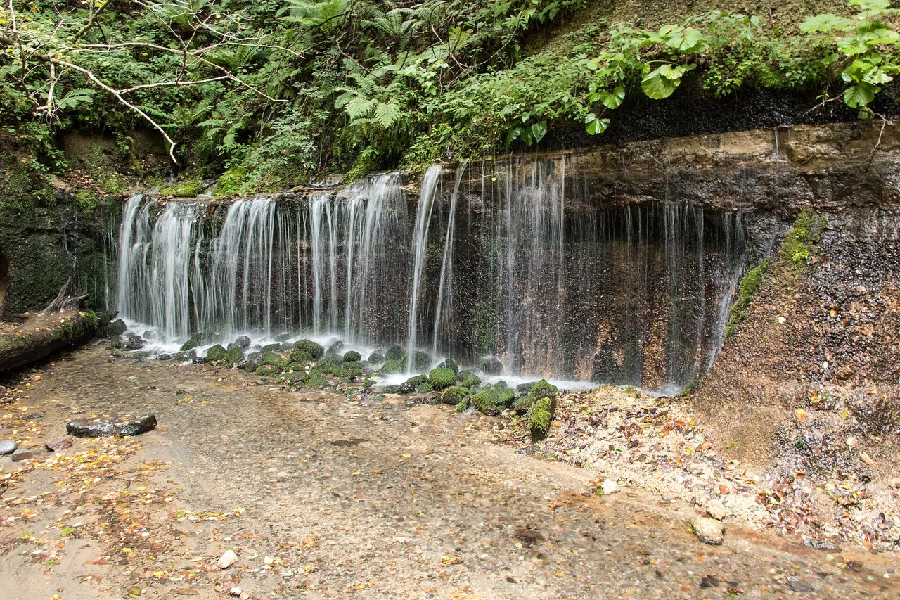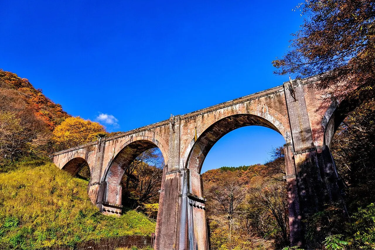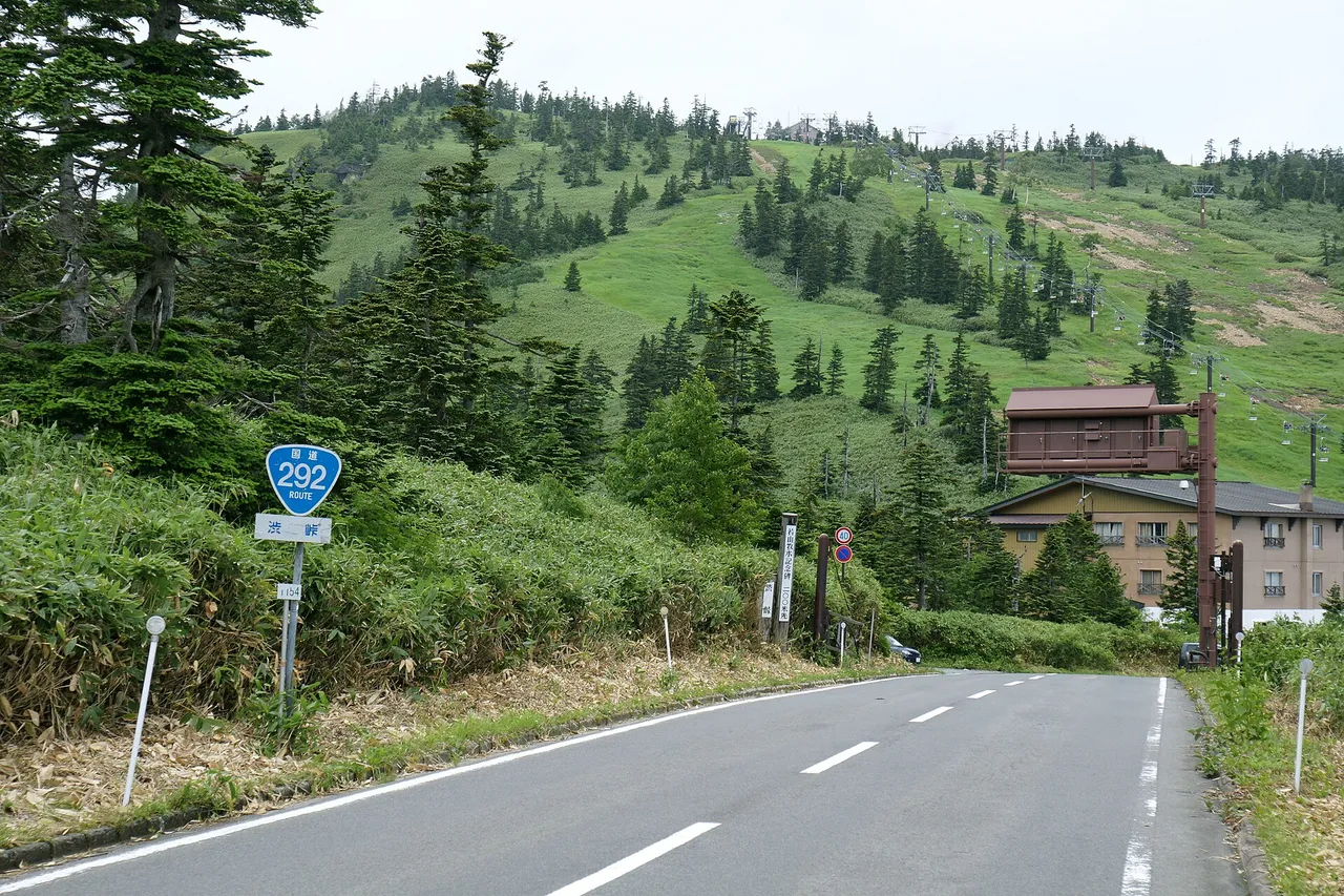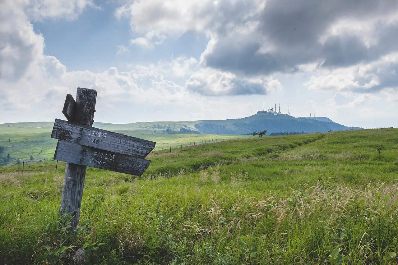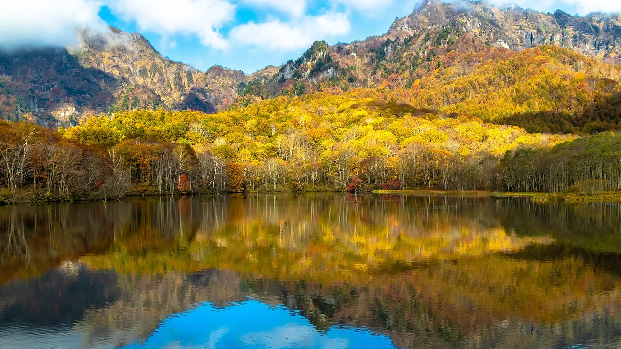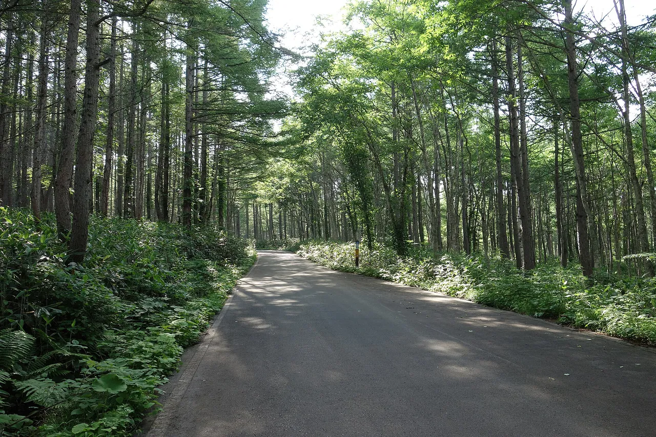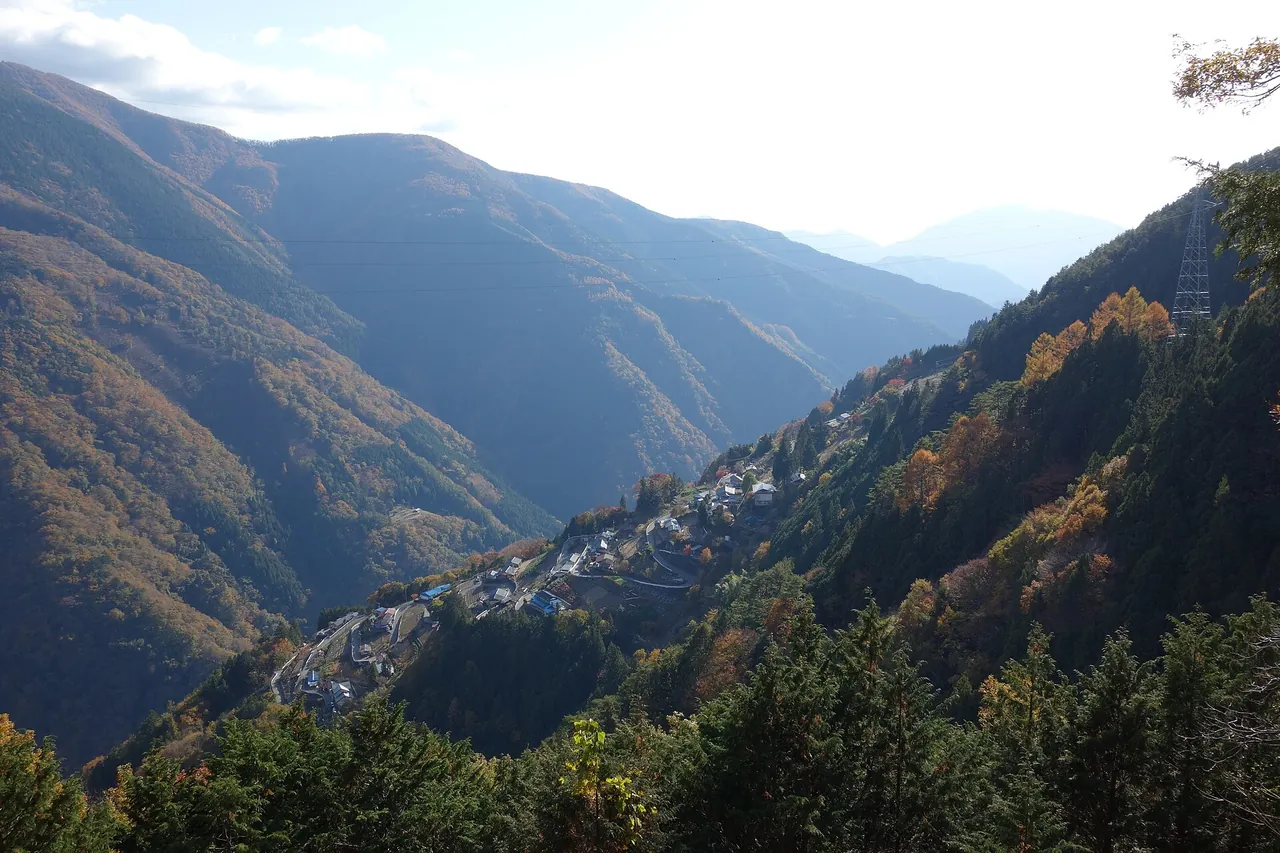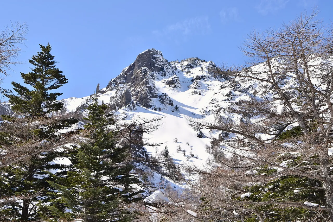
From Komoro IC, the Cherry Park Line climbs 18 km to Kurumazaka Pass. The pass is the gateway to Takamine Kogen, a highland at 2,000 m on the outer rim of Mt Asama, north of Komoro. It looks down over the Saku-daira plain, and on a clear day you can see Mt Fuji, the Yatsugatake range and the Northern Alps.
Kurumazaka Pass is also a trailhead for Mt Kurofu. Beyond the pass a forest road leads to Takamine Onsen and Ikenotaira Wetland, but it closes in winter. This page covers winter tyres, parking, the forest-road closure and the bus.
Kurumazaka Pass and Takamine Kogen at a glance
| Item | Details |
|---|---|
| Location | Takamine Kogen, Komoro, Nagano Prefecture (north of the pass is Tsumagoi Village, Gunma Prefecture). Inside Joshin'etsu Kogen National Park |
| Altitude | Takamine Kogen is at 2,000 m, about 1,400 m above central Komoro |
| Road up | Cherry Park Line (18 km, about 30 minutes from Komoro IC). The name comes from cherry trees planted along the road from Kaikoen Park to Takamine Kogen |
| Beyond the pass | A forest road to Takamine Onsen (1.2 km) and Ikenotaira Wetland (about 4 km). It is narrow, and large buses cannot pass |
| Parking | 30 spaces for ordinary cars at Kurumazaka Pass. The Takamine Kogen Visitor Centre car park is usable only during opening hours (08:30–17:00). If full, use the Takamine Mountain Park car park 1 km below |
| Open season | Cherry Park Line: all year, with winter tyres required from November to April. Forest road beyond the pass: closed from mid-November to late April |
| Bus | JR Bus Takamine Kogen Line, two return trips a day from Sakudaira and Komoro stations. About 45 minutes from Komoro Station |
Suggested route and map
- 1Kurumazaka Pass / visitor centre
- 2Takamine Mountain Park
- 3Takamine Onsen
- 4Ikenotaira moor
Komoro IC → 1 → 2 → 3 → 4 (on to Yunomaru)
The map could not be loaded. Use the junction-by-junction directions below.
From Komoro IC, follow the Asama Sunline and climb the Cherry Park Line, then park at Kurumazaka Pass for the view and a walk. When the forest road beyond the pass is open (late April to mid-November), you can continue to Takamine Onsen and Ikenotaira Wetland.
| Order | Place | Distance from Komoro IC | How to stop |
|---|---|---|---|
| — | Komoro IC | — | Joshin-etsu Expressway. Drive east on the Asama Sunline to the start of the Cherry Park Line |
| 1 | Kurumazaka Pass and Takamine Kogen Visitor Centre | 18 km (about 30 minutes) | Pass car park (30 ordinary cars). View over Saku-daira and the Mt Kurofu trailhead |
| 2 | Takamine Mountain Park | About 19 km | 1 km from the pass towards Tsumagoi. Overflow parking (8 minutes on foot to the trailhead). Ski area in winter |
| 3 | Takamine Onsen | About 19.5 km | 1.2 km along the forest road from the pass. A single inn at 2,000 m. By snowcat in winter |
| 4 | Ikenotaira Wetland | About 22 km | About 3 km further along the forest road. A high moor at 2,000 m. Parking for 100 ordinary cars (paid; closed in winter) |
Komoro IC to Kurumazaka Pass is 18 km and 30 minutes. Distances beyond the pass are calculated from map data.
Stops and parking, in route order
Kurumazaka Pass is the Mt Kurofu trailhead, and parking fills on weekend mornings
Kurumazaka Pass has a car park for 30 ordinary cars, the Takamine Kogen Visitor Centre and the Takamine Kogen Hotel. It looks over the whole of Saku-daira, and in good weather the view reaches Mt Fuji, the Yatsugatake range and the Northern Alps.
The trailhead for Mt Kurofu (the Kurofu course), on the outer rim of Mt Asama, is also at the pass. It is the starting point for easy trekking.
The visitor centre opens 08:30–17:00, and its car park can be used only during those hours. On autumn-colour weekends the car park is full from first thing in the morning. If it is full, park at the Takamine Mountain Park car park, 1 km downhill towards Tsumagoi. The trailhead is 8 minutes on foot from there. The Takamine Kogen Hotel car park gives priority to hotel guests.
Parking on the forest road or road shoulders is banned because it blocks emergency vehicles and buses. Camping in the car parks is also not allowed.
Takamine Mountain Park (formerly Asama 2000 Park) is the winter base
Takamine Mountain Park, 1 km below the pass, is a ski area at 2,000 m. In winter it is also the boarding point for the snowcat to Takamine Onsen, and overnight guests leave their cars at the temporary "Takamine Onsen No. 5 car park". On autumn-colour weekends and at other times when the pass car park is full, it serves as overflow parking.
Takamine Onsen is 1.2 km along the forest road from the pass
About 1.2 km along the forest road from Kurumazaka Pass is Takamine Onsen, a single inn at 2,000 m. In winter (mid-November to the end of April) the forest road closes, so park at the Takamine Mountain Park car park and change to the inn's snowcat. It is free for overnight guests. Day visitors to the baths must book to use the snowcat.
In July and August, parking is short at weekends and during Obon (the mid-August holiday). Groups of two or fewer should take the JR Bus.
Ikenotaira Wetland is about 4 km along the forest road
From Kurumazaka Pass, pass Takamine Onsen and continue about 3 km on the Yunomaru–Takamine forest road to Ikenotaira Wetland, a high moor at 2,000 m. Parking for 100 ordinary cars and 30 large vehicles is paid. It closes in winter and is scheduled to reopen in early May 2027. Tomi City's demand-responsive transport to the wetland also stopped for winter after 30 October 2026. The suspension period may change with the weather.
Alpine plants flower on the wetland from May to September: komakusa from late June through July, and fireweed, scabious and gentian from August to September. The forest road is narrow, and large buses cannot pass. Beyond the wetland, Tomi City roads descend to Yunomaru Kogen (Jizo Pass) and on to Tobu-Yunomaru IC (Tobu-Yunomaru IC to Yunomaru Kogen is about 18 km and about 30 minutes).
Open season and road restrictions
The Cherry Park Line stays open in winter, but winter tyres are required from November to April
The Cherry Park Line is not a winter-closure section and stays open in winter. However, snow tyres are required from November to April. At Takamine Kogen, snow often lies from late November to late April, even when the city below is sunny.
Early in the season, cars on ordinary tyres get stuck on the slope or block the road making U-turns, disrupting bus services. In the winter of 2022–23, snow lay on 16 November. In recent years the first snow on Mt Asama has fallen between 17 and 25 October, so have winter tyres ready from late October.
The forest road beyond Kurumazaka Pass closes from mid-November to late April
Three roads close in winter: Tsumagoi Village Road Takamine Line from the pass to Takamine Onsen, the Yunomaru–Takamine shared forest road (Komoro city road) from Takamine Onsen to Ikenotaira Wetland, and the Tomi city road from the wetland to Yunomaru Kogen. In the winter of 2022–23 the closure ran from 15 November to late April. The Takamine Onsen snowcat runs from mid-November to the end of April. This year's closure date and the current road status appear on the Takamine Kogen portal's traffic information.
Cycling event days in May close the road in the morning
For the 2023 Cycling Festival Asama, the road from the start of the Cherry Park Line to the Takamine Kogen Hotel closed to vehicles from 08:30 to 13:00 on Sunday 14 May. That day the Yunomaru–Takamine shared forest road served as the detour to Takamine Kogen.
Mt Asama's volcanic activity and climbing Mt Kurofu
Mt Asama's volcanic alert level fell from 2 to 1 ("be mindful that this is an active volcano") on 22 May 2026 and was still 1 as of 30 October. At level 1 you can climb as far as Mt Maekake (restrictions eased from 23 May 2026). Volcanic earthquakes have increased slightly since late September, so check the latest Japan Meteorological Agency information before climbing. Climbers must submit a climbing plan.
Best seasons and crowds
| Season | What to expect |
|---|---|
| Spring (mid-April–early May) | Cherry blossom along the Cherry Park Line, opening from the foothills upwards and lasting until after the early-May holidays. Snow may remain at the pass; if walking, bring chain spikes or light crampons |
| Summer (June–August) | Alpine plants such as Japanese azalea and rhododendron. About 10°C cooler than the lowlands |
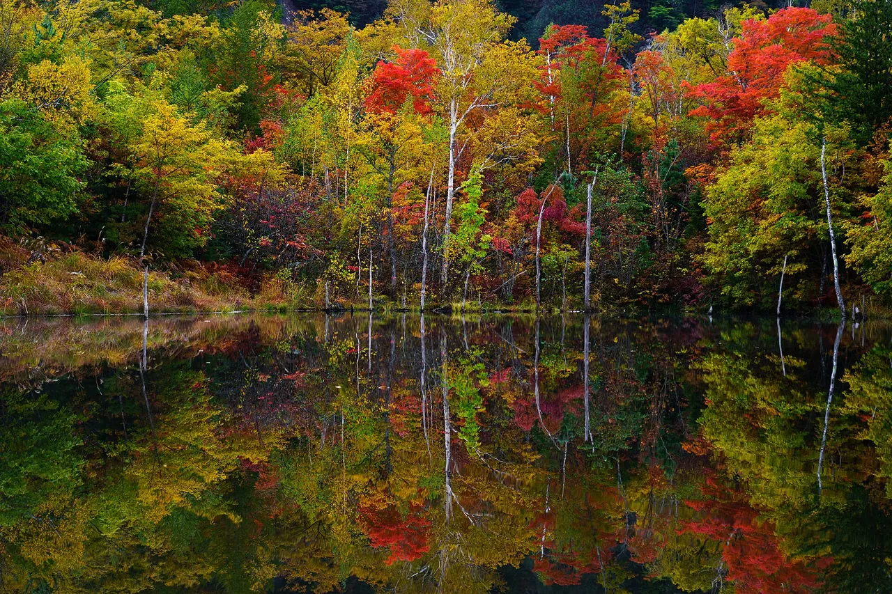
| Autumn (mid-October–early November) | Golden larches and autumn colour along the Cherry Park Line. In 2026 the larches at Takamine Kogen were at their peak on 23 October and starting to fade by 31 October. The sea of clouds and golden larches appear together only in October |
| Winter (November–April) | Rime ice, diamond dust and starry skies. Winter tyres required |
Different alpine flowers bloom from late May to October. The starry sky and the night view from 2,000 m can be enjoyed all year.
On autumn-colour weekends the Kurumazaka Pass car park is full from first thing in the morning. Parking at Takamine Onsen runs short at weekends in July and August and during Obon. When full, go to the Takamine Mountain Park car park, 1 km below.
Getting there and fuel
From Komoro IC on the Joshin-etsu Expressway, drive east on the Asama Sunline and follow the Cherry Park Line to Takamine Kogen: 18 km, about 30 minutes. From Nerima IC in Tokyo it takes about 2 hours 30 minutes, and from Karuizawa about 1 hour. To reach Ikenotaira Wetland from the Yunomaru side, Tobu-Yunomaru IC to Yunomaru Kogen is about 18 km and about 30 minutes.
Fill up in central Komoro before you join the Cherry Park Line.
Without a car: JR Bus Takamine Kogen Line
The JR Bus Takamine Kogen Line runs two return trips a day from Sakudaira and Komoro stations to Takamine Kogen. To Takamine Onsen it takes about 45 minutes from Komoro Station (¥1,190) and about 60 minutes from Sakudaira Station (¥1,540). The winter timetable starts on 16 November.
If you are staying at Takamine Onsen in winter, contact the inn before boarding the bus, and the snowcat will meet you.
By taxi it takes about 30 minutes from Komoro Station and about 45 minutes from Sakudaira Station. To rent a car instead, you need an International Driving Permit or other accepted licence.
Frequently asked questions
Can I drive there in winter?
The Cherry Park Line stays open in winter. Winter tyres are required from November to April, and ordinary tyres are very dangerous. Beyond Kurumazaka Pass, the forest road to Takamine Onsen and Ikenotaira Wetland closes from mid-November to late April.
What if the car park is full?
Park at the Takamine Mountain Park car park, 1 km downhill from the pass towards Tsumagoi. It is 8 minutes on foot to the trailhead. Parking on the forest road or shoulders is banned.
Can I drive through from Kurumazaka Pass to Yunomaru Kogen?
Yes. The Yunomaru–Takamine forest road passes Takamine Onsen and Ikenotaira Wetland, then descends to Yunomaru Kogen and on to Tobu-Yunomaru IC. It closes in winter (mid-November to late April) and is too narrow for large buses.
Can I climb Mt Kurofu or Mt Asama?
Kurumazaka Pass is the trailhead for the Kurofu course. Mt Asama's volcanic alert level is 1 (as of 30 October 2026), and you can climb as far as Mt Maekake. Submit a climbing plan and check the latest Japan Meteorological Agency volcano information first.
Is there a bus from Komoro Station?
The JR Bus Takamine Kogen Line runs two return trips a day and takes about 45 minutes from Komoro Station. You can also board at Sakudaira Station.
Related guides
Sources & verification
Last verified: 2026-11-02
Updates and corrections
- English guide to Kurumazaka Pass and Takamine Kogen, with winter tyres, parking, forest-road closures and the bus.
All sources (23)
- Go NAGANO (official page, in Japanese) · 2026-10-27
- Go NAGANO (official page, in Japanese) · 2026-10-27
- Komoro Tourism Bureau (official page, in Japanese) · 2026-10-27
- Komoro Tourism Bureau (official page, in Japanese) · 2026-11-02
- Komoro Tourism Bureau (official page, in Japanese) · 2026-10-27
- Komoro Tourism Bureau (official page, in Japanese) · 2026-10-27
- Komoro Tourism Bureau (official page, in Japanese) · 2026-10-27
- Komoro Tourism Bureau (official page, in Japanese) · 2026-10-27
- Komoro City (official page, in Japanese) · 2026-11-02
- Komoro City (official page, in Japanese) · 2026-10-27
- Takamine Kogen portal (Asama-Takamine Tourism Council) (official page, in Japanese) · 2026-11-02
- Takamine Kogen portal (official page, in Japanese) · 2026-10-27
- Takamine Kogen portal (official page, in Japanese) · 2026-10-27
- Takamine Onsen (official page, in Japanese) · 2026-11-02
- Takamine Mountain Park (official page, in Japanese) · 2026-10-27
- Tomi City (official page, in Japanese) · 2026-10-27
- Tomi City (official page, in Japanese) · 2026-10-27
- Go NAGANO (official page, in Japanese) · 2026-10-27
- Japan Meteorological Agency (official page, in Japanese) · 2026-11-02
- Nagano Prefecture, Saku Construction Office (official page, in Japanese) · 2026-10-27
- OpenStreetMap (map positions and route; © OpenStreetMap contributors, ODbL; route calculated with OSRM) · 2026-10-25
- Komoro Tourism Bureau (official page, in Japanese) · 2026-10-27
- Komoro Tourism Bureau: autumn colour update, 31 October 2026 · 2026-11-02