DRIVE SCAPE JAPAN
Destinations
Choose places by prefecture or the scenery you enjoy. For a trip with stops in order, explore Driving routes.
Find your road in Japan
Choose a destination for your next journey.
Map: Geolonia / GFDL · Some remote islands omittedBrowse prefectures
Hokkaido
Prefectures without an area guide open a filtered article list.
more perspectives.
Scenery & driving creative
Aizu-Wakamatsu and Ouchi-juku driving guide: Tsuruga Castle, Iimoriyama, To-no-Hetsuri and map
Drive from Iimoriyama and Tsuruga Castle on Prefectural Route 131 to Ouchi-juku, then past To-no-Hetsuri and Kannon-numa to Michi-no-Eki Shimogo, with a route map, crowds, parking fees, access and fuel.
more perspectives.
Scenery & driving creative
Chita and Atsumi driving guide: Tokoname, Cape Hazu, Irago and map
Drive the Chita and Atsumi peninsulas from Tokoname to Cape Hazu and from Tahara to Irago, with route maps, how to link them, the Irago–Toba ferry, parking at stops and access.
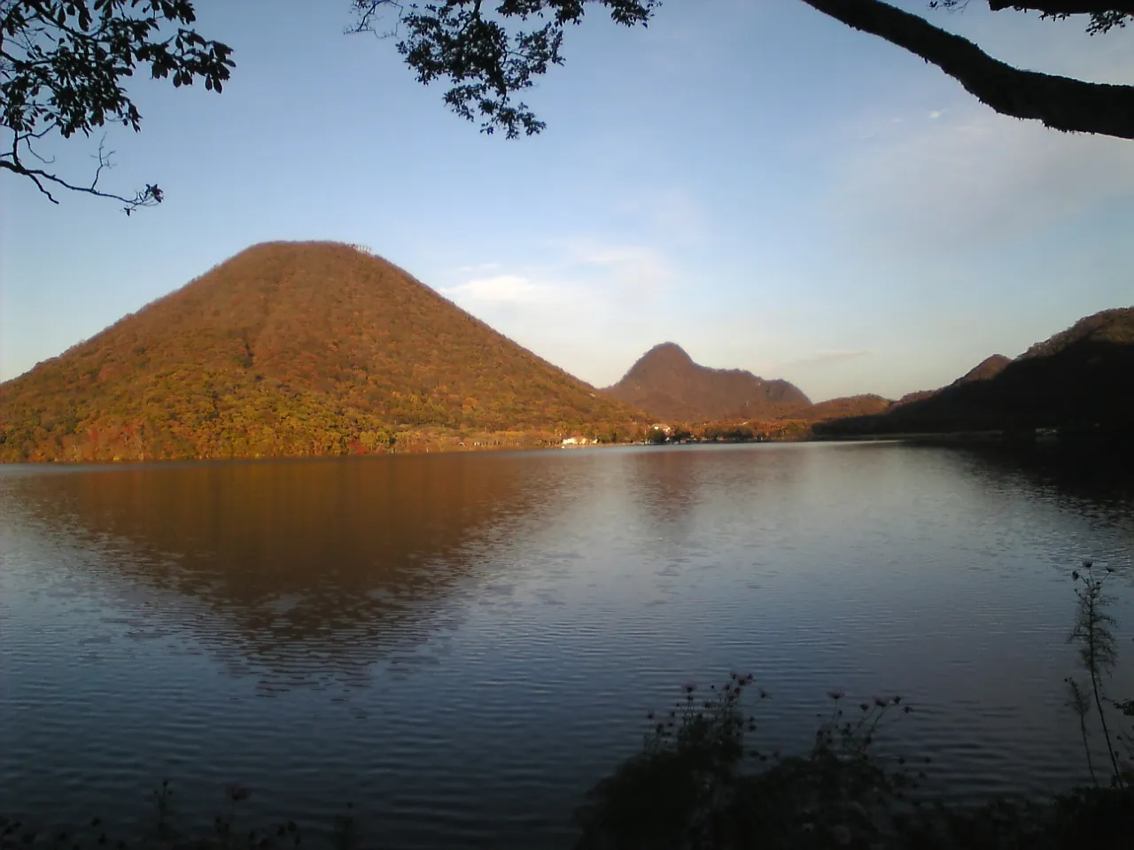
Haruna and Ikaho driving guide: stone steps, Lake Haruna and Haruna Shrine
Drive Ikaho Onsen, Lake Haruna and Haruna Shrine in Gunma: a one-day route, Kajika Bridge autumn illumination and shuttle bus, stone-steps parking, stops with hours and fees, winter cautions, access and fuel.
more perspectives.
Scenery & driving creative
Izumo and Matsue driving guide: Izumo Taisha, Hinomisaki and Lake Shinji sunsets
Drive from Hinomisaki via Izumo Taisha to Matsue with a route map, parking, Kamiarizuki traffic controls, San'in Expressway night closures to 12 November, stops with hours and fees, access and fuel.
more perspectives.
Scenery & driving creative
Kirishima and Sakurajima driving guide: volcano restrictions, Ebino Plateau and the ferry
Drive Kirishima Jingu, Ebino Plateau and a loop of Sakurajima with a route map, volcano restrictions, ashfall advice, Sakurajima Ferry fares and hours, stops, autumn colours, access and fuel.
more perspectives.
Scenery & driving creative
Mt Chokai and Kisakata driving guide: Chokai Blue Line, Kujukushima, Mototaki and map
Drive from Kisakata over Hokodate to Yuza on the Chokai Blue Line, with a route map, the winter closure from 4 November and the Route 7 alternative, parking at stops and access.
more perspectives.
Scenery & driving creative
Mt Fuji fifth stations driving guide: Subaru Line, Fuji Skyline and map
Drive to Mt Fuji's fifth stations on the Fuji Subaru Line and Fuji Skyline, with a one-day route map, tolls and hours, summer private-car restrictions, winter closures, parking and access.
more perspectives.
Scenery & driving creative
Nanki and Kumano driving guide: Shirahama, Cape Shionomisaki, Nachi Falls and the Kumano shrines
Drive from Shirahama via Cape Shionomisaki and Nachi Falls to Shingu and Kumano Hongu Taisha, with a route map, the free Kisei Expressway section, rain and wave closures, stops with hours and fees, access and fuel.
more perspectives.
Scenery & driving creative
Nichinan Coast driving guide: Aoshima, Udo Jingu, Obi and Cape Toi
Drive from Aoshima via Udo Jingu and Obi to Cape Toi, with a route map, Udo Jingu parking, the Cape Toi contribution, Route 220 rain closures, stops and fuel.
more perspectives.
Scenery & driving creative
Oga Peninsula driving guide: Kanpuzan, Cape Nyudo, Godzilla Rock and map
Drive around the Oga Peninsula from Funakoshi via Kanpuzan, the Namahage Museum, Cape Nyudo, Oga Aquarium GAO, Godzilla Rock and Unosaki Coast, with a route map, opening seasons, winter roads, access and fuel.
more perspectives.
Scenery & driving creative
Okuhida and Shinhotaka driving guide: Hirayu, Fukuji, Tochio, the ropeway and map
Drive from Hirayu through Tochio to Shinhotaka, with a route map, the Route 158 closure and detours, Shinhotaka and Akandana parking, ropeway fares, stops and access.
more perspectives.
Scenery & driving creative
Sado driving guide: Onogame, Senkaku Bay, the Gold Mine, Osado Skyline and map
Drive Sado island after taking the car ferry, with ferry routes and times, a one-day route map from Ryotsu Port past Onogame, Senkaku Bay and the Gold Mine over the Osado Skyline, winter and current closures, parking and fuel.
more perspectives.
Scenery & driving creative
Sanriku Coast driving guide: Jodogahama, Goishi Coast, Ogama, Kitayamazaki and map
Drive the Sanriku Coast from Jodogahama in Miyako to Minamisanriku, with a route map, Kitayamazaki, Unosu Cliff and Ryusendo Cave, toll and free sections of the Sanriku Expressway, parking, night closures, access and fuel.
more perspectives.
Scenery & driving creative
Shirakawa-go and Gokayama driving guide: Ogimachi, Suganuma, Ainokura and map
Drive from Ogimachi to Suganuma and Ainokura on Route 156, with a route map, Seseragi Park parking fees and crowded times, the Hakusan Shirakawa-go White Road, winter roads, stops and fuel.
more perspectives.
Scenery & driving creative
Towada and Hakkoda driving guide: Oirase Stream, Lake Towada and Sukayu Onsen
Drive from Hakkoda via the Oirase Stream and Lake Towada to Kosaka, with a route map, winter road closures, Tsuta-numa entry limits, parking and fuel.
more perspectives.
Scenery & driving creative
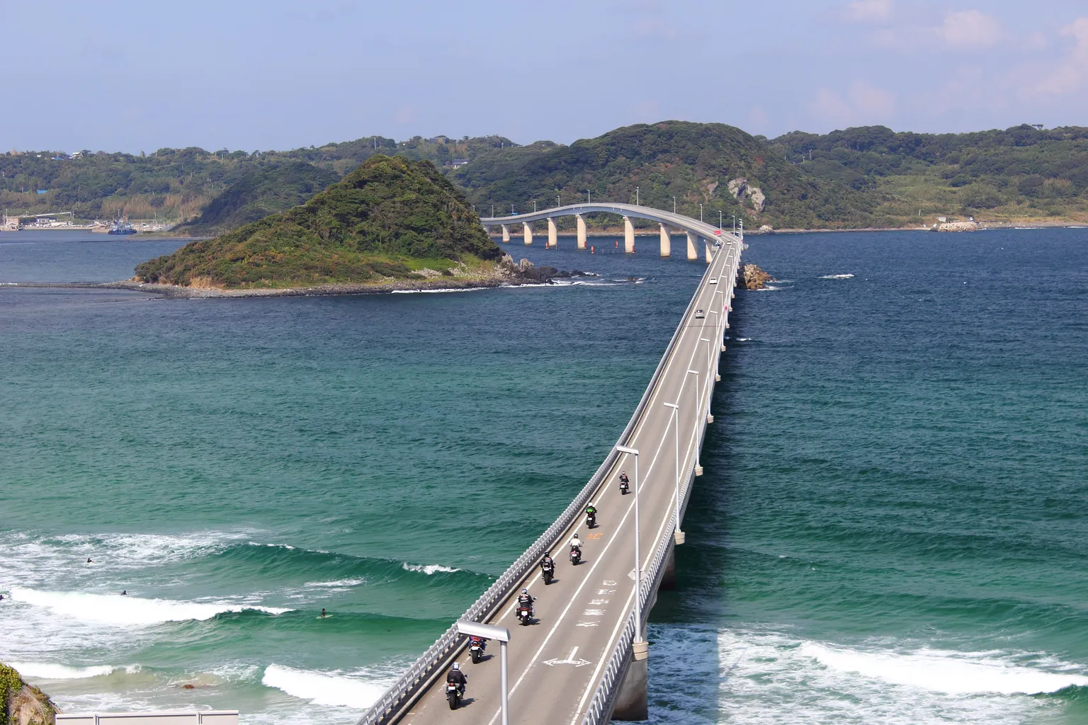
Tsunoshima and Akiyoshidai driving guide: Tsunoshima Bridge, Motonosumi Shrine and Akiyoshido Cave
Drive from Akiyoshidai via Tsunoshima to Senzaki in Nagato, with a route map, bridge congestion times, Motonosumi Shrine visiting limits, the Route 191 closure and parking.
more perspectives.
Scenery & driving creative
Unzen and Shimabara driving guide: Unzen Jigoku, Nita Pass, Shimabara Castle and Hara Castle
Drive from Obama over Unzen and Nita Pass to Shimabara and the Hara Castle ruins, with a route map, the Nita Pass road, Heisei Shinzan viewpoints, Kumamoto ferries and parking.
more perspectives.
Scenery & driving creative
Hakuba and Azumino driving guide: lakes, mountain views and autumn routes
Drive from Azumino to Hakuba through Omachi and the Nishina lakes, with a route map, parking, Happo lift access, roadworks and winter closure dates.
more perspectives.
Scenery & driving creative
Nasu driving guide: Nasu Kogen, Mount Chausu and Shiobara
Plan a day driving from Nasu Kogen to Nasu Ropeway and Shiobara Onsen, with a route map, parking, attraction fees, autumn traffic and winter road closures.
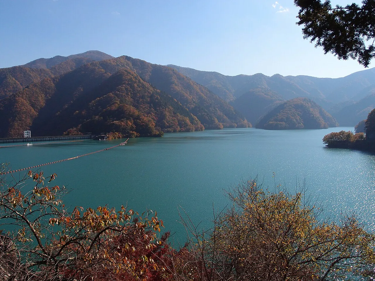
Okutama driving guide: lake, mountain road and Hossawa Falls
Plan an Okutama drive from Mitake Gorge through Lake Okutama to Hinohara, with a map, parking, gate hours, walking stops and Mt Mitake cable-car information.
more perspectives.
Scenery & driving creative
Shiretoko driving guide: Five Lakes, Shiretoko Pass and Rausu
Plan a Shiretoko drive from Shari to Utoro and the Five Lakes, with a route map, parking, bear safety and the winter detour to Rausu.
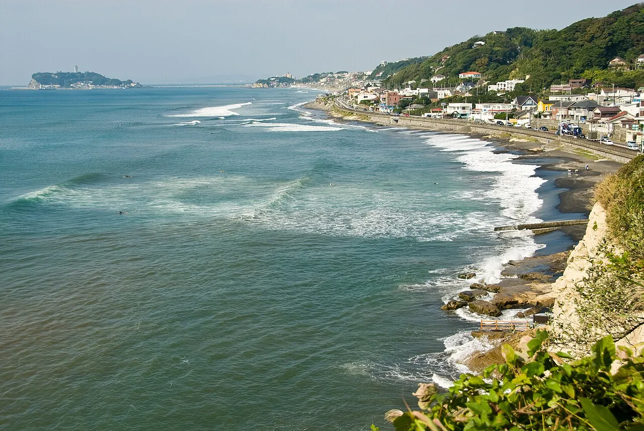
Shonan and Miura coastal drive: Enoshima, Kamakura, Hayama and Jogashima
Plan a coastal drive from Chigasaki to Enoshima, Kamakura, Hayama and Misaki Port, with a route map, parking prices, opening hours and current road restrictions.
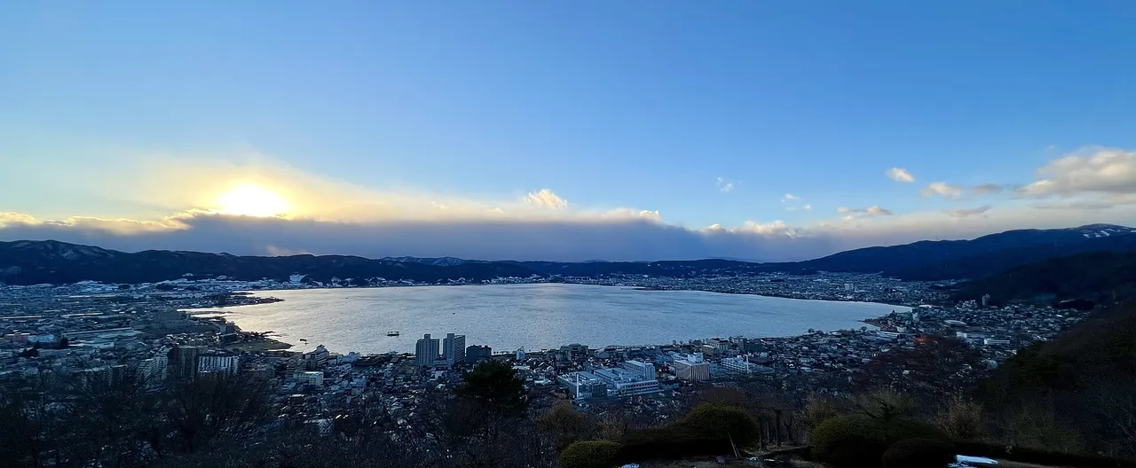
Suwa driving guide: Venus Line, Lake Shirakaba and Tateshina
Plan a full-day Venus Line circuit or a half day around Lake Suwa, with parking, a route map, seasonal stops, winter closures and expressway roadworks.
more perspectives.
Scenery & driving creative
Yatsugatake and Kiyosato driving guide: bridges, highlands and Nobeyama
Plan a day from Kobuchizawa to Kiyosato and Nobeyama, with a route map, parking, scenic stops, Higashizawa Bridge repairs and winter chain requirements.
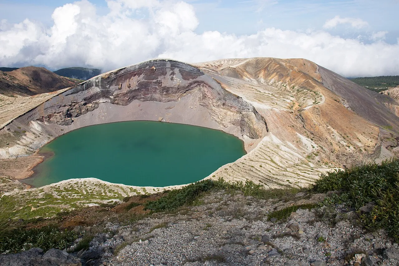
Zao driving guide: Echo Line, Okama and winter routes
Drive from Miyagi across the Zao Echo Line to Okama and Zao Onsen, with a route map, tolls, parking and winter road closures on both sides of the mountains.
more perspectives.
Scenery & driving creative
Hagi and Tsuwano driving guide: castle towns, Kasayama and Susa
Plan a drive from Hagi castle town to Tsuwano, or a separate coastal route to Kasayama and Susa Hornfels, with parking, walking sections and opening hours.
more perspectives.
Scenery & driving creative
Akan–Mashu driving guide: Lake Akan, Lake Mashu, Lake Kussharo and Bihoro Pass
A day drive from Lake Akan through Mashu and Kussharo to Bihoro Pass, with a route map, November road closures, parking charges, deer precautions, airport access and fuel.
more perspectives.
Scenery & driving creative
Amakusa driving guide: Sakitsu, Oe and the west coast
Drive from Hondo through Sakitsu and Oe to Jusanbutsu Park and Kikaigaura. Find parking, church reservations, Matsushima toll payments and Sea Donut opening hours.
more perspectives.
Scenery & driving creative
Amanohashidate and Ine driving guide: viewpoints, boathouses and the Tango coast
Drive from Miyazu through Amanohashidate and Ine to Cape Kyogamisaki and Kyotango. Compare routes, parking, tolls and seasonal restrictions with a map of 18 stops.
more perspectives.
Scenery & driving creative
Awaji Island driving guide: the west coast, Fukura whirlpools and Sumoto
Drive from the Akashi Kaikyo Bridge along Awaji’s west coast to Fukura and Sumoto. Compare bridge tolls, parking, seasonal flowers, holiday traffic, road restrictions and fuel stops.
more perspectives.
Scenery & driving creative
Biei and Furano driving guide: Blue Pond, flower fields and winter roads
Plan a day drive through Biei's hills, the Blue Pond and Bogakudai to Furano. Find parking details, farm-road rules, seasonal closures, volcanic restrictions and fuel advice.
more perspectives.
Scenery & driving creative
Boso driving guide: Tateyama, Shirahama and Kamogawa
Plan a coastal drive from Hota through Tateyama and Shirahama to Kamogawa, with parking, Aqua-Line tolls, ferry fares and current road closures.
more perspectives.
Scenery & driving creative
Hachimantai driving guide: Aspite Line, hot springs and Lake Tazawa
Drive from Nishine over Hachimantai to Lake Tazawa, with parking, hot spring hours, Aspite Line closures and the blocked route to Matsukawa Onsen.
more perspectives.
Scenery & driving creative
Ishigaki driving guide: Kabira Bay, Cape Oganzaki and Hirakubozaki routes and map
Explore western Ishigaki in a day, with a separate northern route to Tamatorizaki and Hirakubozaki. Find parking at 10 stops, cashless payments at Kabira, swimming dates, airport access and fuel.
more perspectives.
Scenery & driving creative
Iya and Oboke driving guide: vine bridges, gorges and road restrictions
Drive from Koboke through Oboke to Iya Kazurabashi. Find 10 scenic and cultural stops, 3 roadside stations, parking fees, boat times and seasonal closures in Oku-Iya.
more perspectives.
Scenery & driving creative
Lake Biwa driving guide: western shore, Oku-Biwako and Mount Hiei
Drive from Biwako Ohashi Bridge along the western and northern shores to Nagahama. Compare parking, toll roads, island boats, autumn crowds and winter closures.
more perspectives.
Scenery & driving creative
Miyakojima driving guide: Irabu, Kurima and Ikema bridges, routes and map
Plan a day from Miyakojima through Kurima, Irabu and Shimoji, with a separate northern drive. Compare bridges, parking at 12 stops, typhoon restrictions, airport access and fuel.
more perspectives.
Scenery & driving creative
Muroto and Ashizuri driving guide: cape walks, Tatsukushi and parking
Choose a separate day route around Muroto or Ashizuri. Find 11 stops, 3 roadside stations, parking, SATOUMI admission details and the Cape Ashizuri observation deck closure.
more perspectives.
Scenery & driving creative
Shodoshima driving guide: ferries, Kankakei and Olive Park
Plan a Shodoshima drive from Angel Road through rice terraces and Kankakei to Olive Park. Find 10 scenic and cultural stops, 3 roadside stations, parking details, ferry reservation rules and tide advice.
more perspectives.
Scenery & driving creative
Tottori Sand Dunes and Daisen driving guide: coast to mountains
Drive from the Tottori Sand Dunes via Hakuto Beach to Daisen, with parking, opening hours and a separate mountain route past Masumizu Highland to Kagikake Pass.
more perspectives.
Scenery & driving creative
Chichibu Driving Guide: Nagatoro, Mitsumine Shrine and Chichibu Muse Park Route with Map
How to drive around Chichibu: a one-day route from Yokoze through central Chichibu and its hilltop parks to Nagatoro, the road to Mitsumine Shrine and its car park jam, roads and parking at each stop, autumn leaves, the Night Festival and icicles, and how to get there and fuel up.
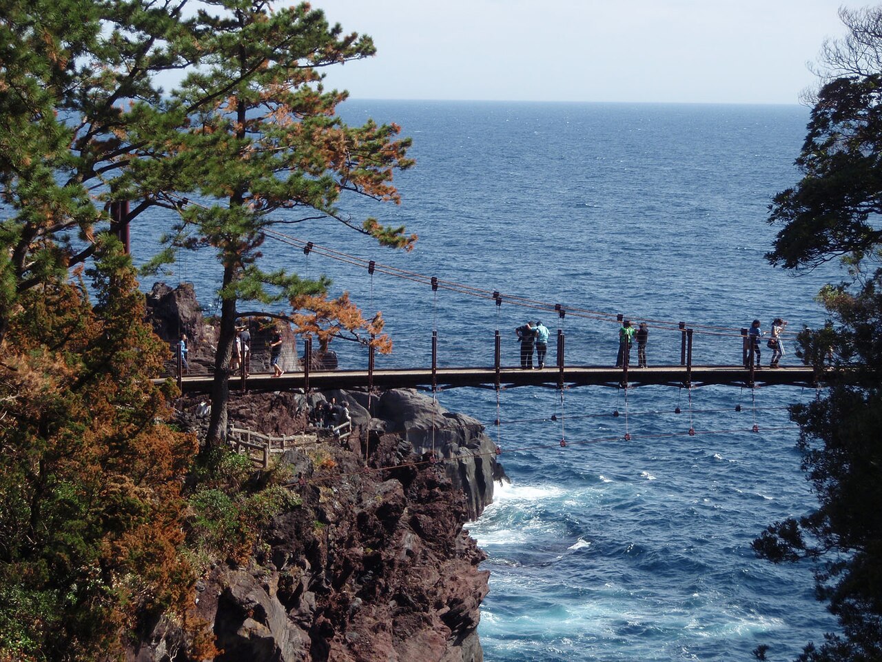
East Izu Driving Guide: Ito, Izu Kogen and Kawazu Route with Map
How to drive East Izu: a one-day route from Ito down to Kawazu and back over Amagi Pass, the Izu Skyline (no ETC), pampas grass at Inatori Hosono Kogen and the Kawazu cherry blossom season, roads and parking at each stop, roadworks and rules, and how to get there.
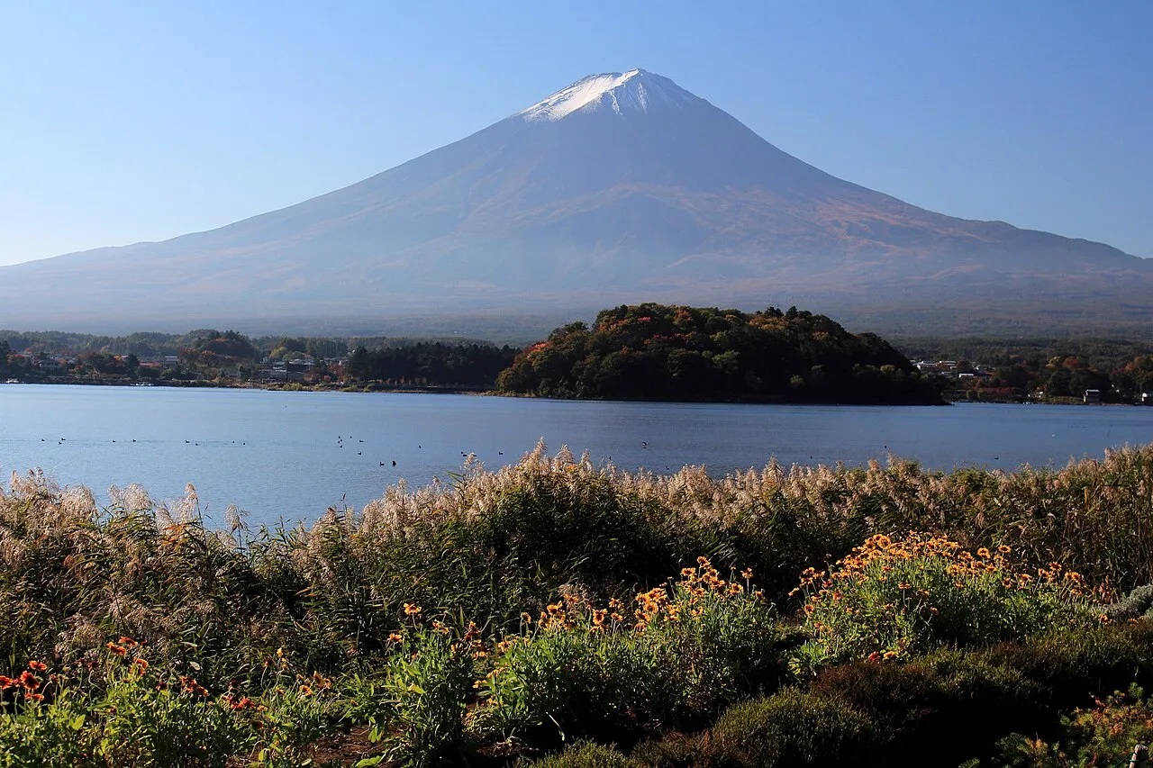
Fuji Five Lakes Driving Guide: Lake Kawaguchi to Lake Motosu Route, Fuji Subaru Line and Map
How to drive around the Fuji Five Lakes: a one-day loop of the four western lakes from Lake Kawaguchi to Lake Motosu, Mt. Myojin Panorama-dai and Oshino Hakkai, Fuji Subaru Line tolls and hours (no ETC), parking at each stop, autumn leaf crowds and how to get there.
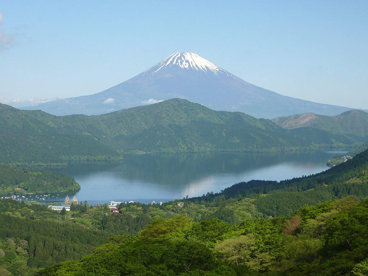
Hakone Driving Guide: Lake Ashi, Owakudani and Sengokuhara Route with Map
How to drive around Hakone: a one-day loop of Lake Ashi, Owakudani and Sengokuhara, tolls and hours of the Hakone Turnpike and Ashinoko Skyline (no ETC), parking at each stop, autumn leaf and pampas grass seasons, crowds and how to get there.
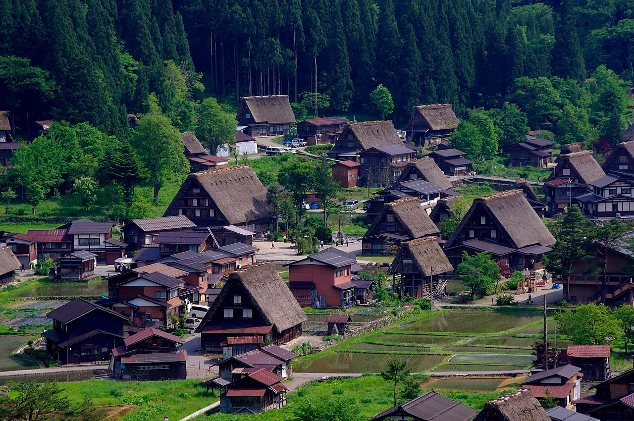
Hida-Takayama Driving Guide: Okuhida and Shirakawa-go Routes with Map
How to drive the Hida-Takayama area: a one-day route from Takayama to Shinhotaka in Okuhida, the road to Shirakawa-go, changing buses for Kamikochi and Norikura, the Route 158 closure and detour, parking at each stop, and winter rules.
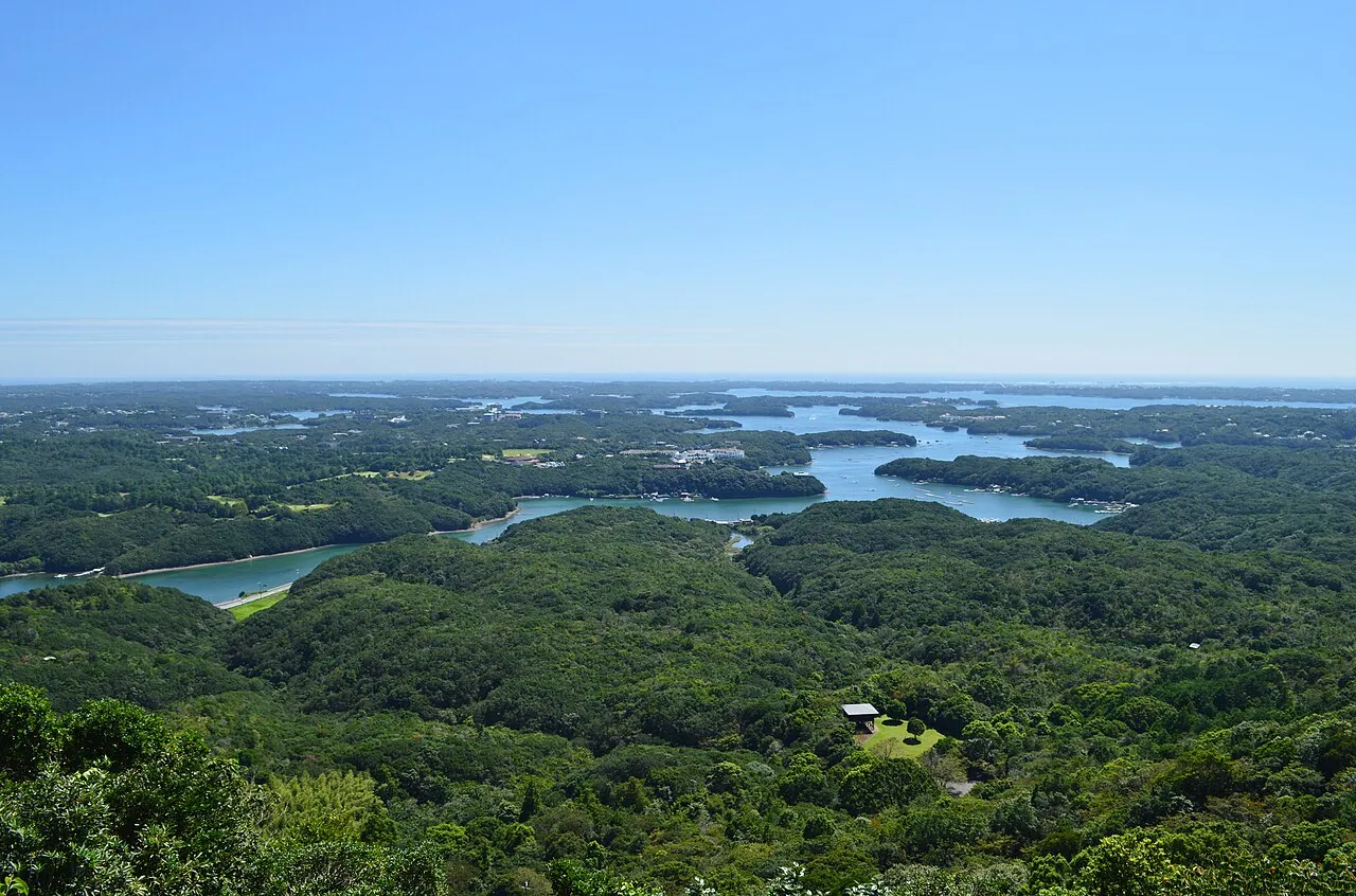
Ise-Shima Driving Guide: Ise Jingu, Toba and Ago Bay Route with Map
How to drive the Ise-Shima area: a one-day route from Ise Jingu to Toba, Ago Bay and Daiozaki Lighthouse, parking and avoiding the queues at Naiku, the Ise-Shima Skyline and Pearl Road, parking at each stop, and the closures at New Year and in November.
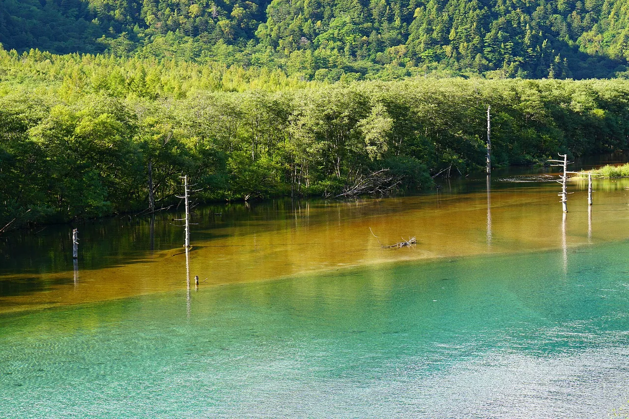
Kamikochi and Norikura Driving Guide: Sawando Bus Transfer, Norikura Kogen and Shirahone Onsen with Map
How to drive the Kamikochi and Norikura area: the private-car ban and changing to a bus at Sawando or Akandana, a route round Norikura Kogen, buses to Tatamidaira and the winter closures, roads and parking at each stop, how to get there and fuel.
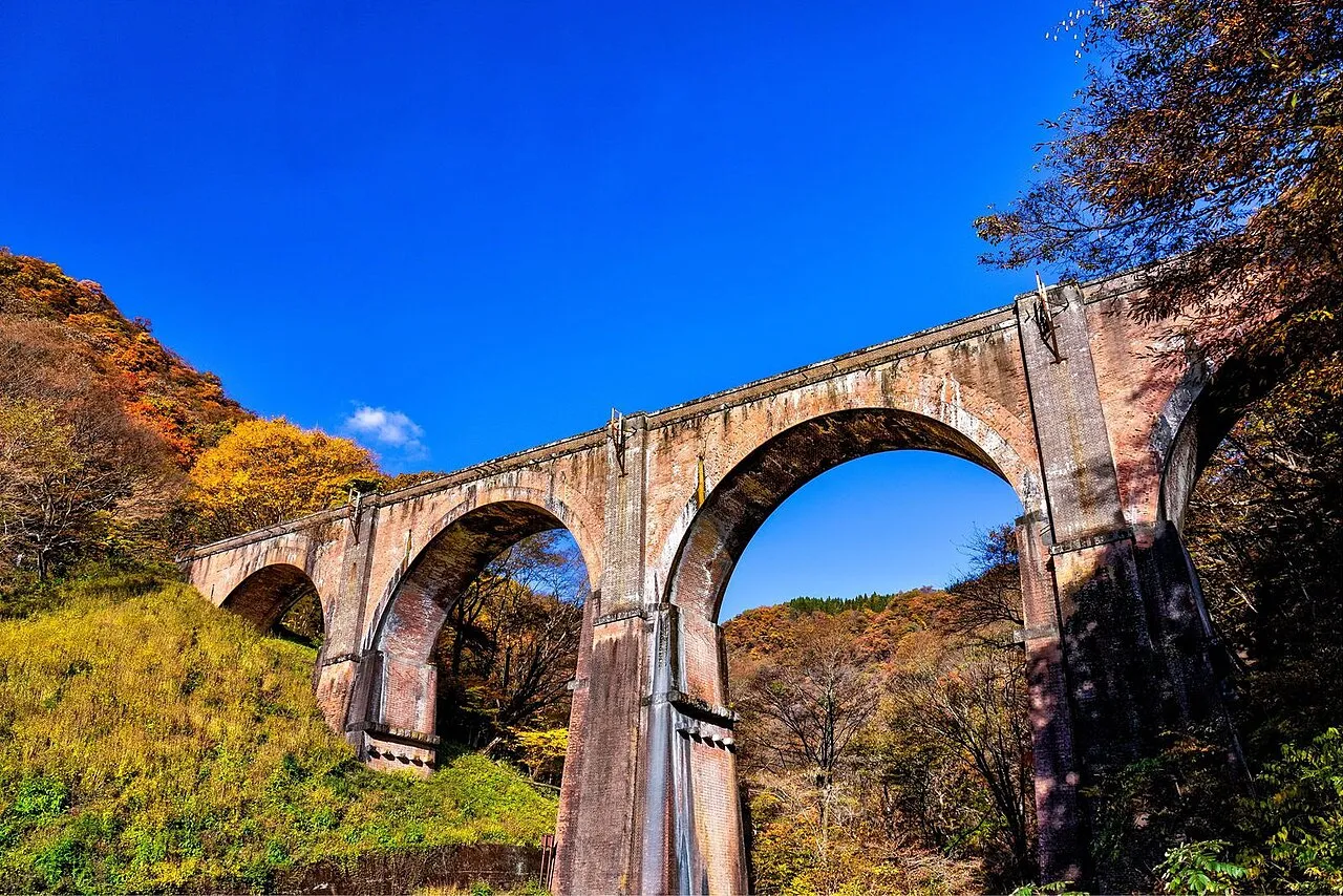
Karuizawa Driving Guide: Kyu-Karuizawa, Shiraito Falls and Onioshidashi Route with Map
How to drive around Karuizawa: a one-day route from Kyu-Karuizawa to Shiraito Falls and Onioshidashi, Megane-bashi on Usui Pass, how to avoid holiday traffic, roads and parking at each stop, autumn leaves and winter tyre rules, and how to get there.
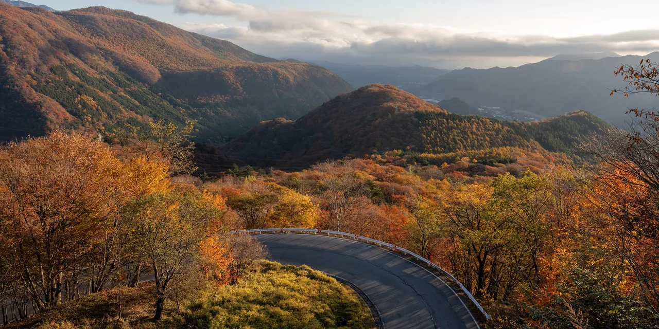
Nikko Driving Guide: Irohazaka, Lake Chuzenji and Oku-Nikko Route with Map
How to drive around Nikko: a one-day route from the shrines and temples to Yumoto, autumn leaf traffic on Irohazaka and temporary car parks, roads and parking at each stop, winter closures, how to get there and where to buy fuel.
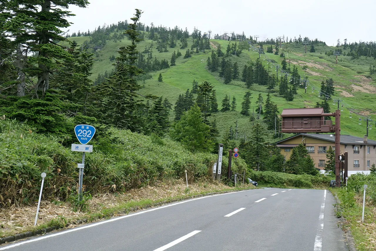
Shiga Kogen and Kusatsu Driving Guide: Shibu Pass, Shiga-Kusatsu Road and Yubatake Route with Map
How to drive the Shiga Kogen and Kusatsu area: a one-day route from Yudanaka round the Shiga Kogen ponds, over Shibu Pass and down to Yubatake in Kusatsu, the winter closure of the Shiga-Kusatsu Road, Mt. Kusatsu-Shirane restrictions, roads, parking at each stop, how to get there and fuel.
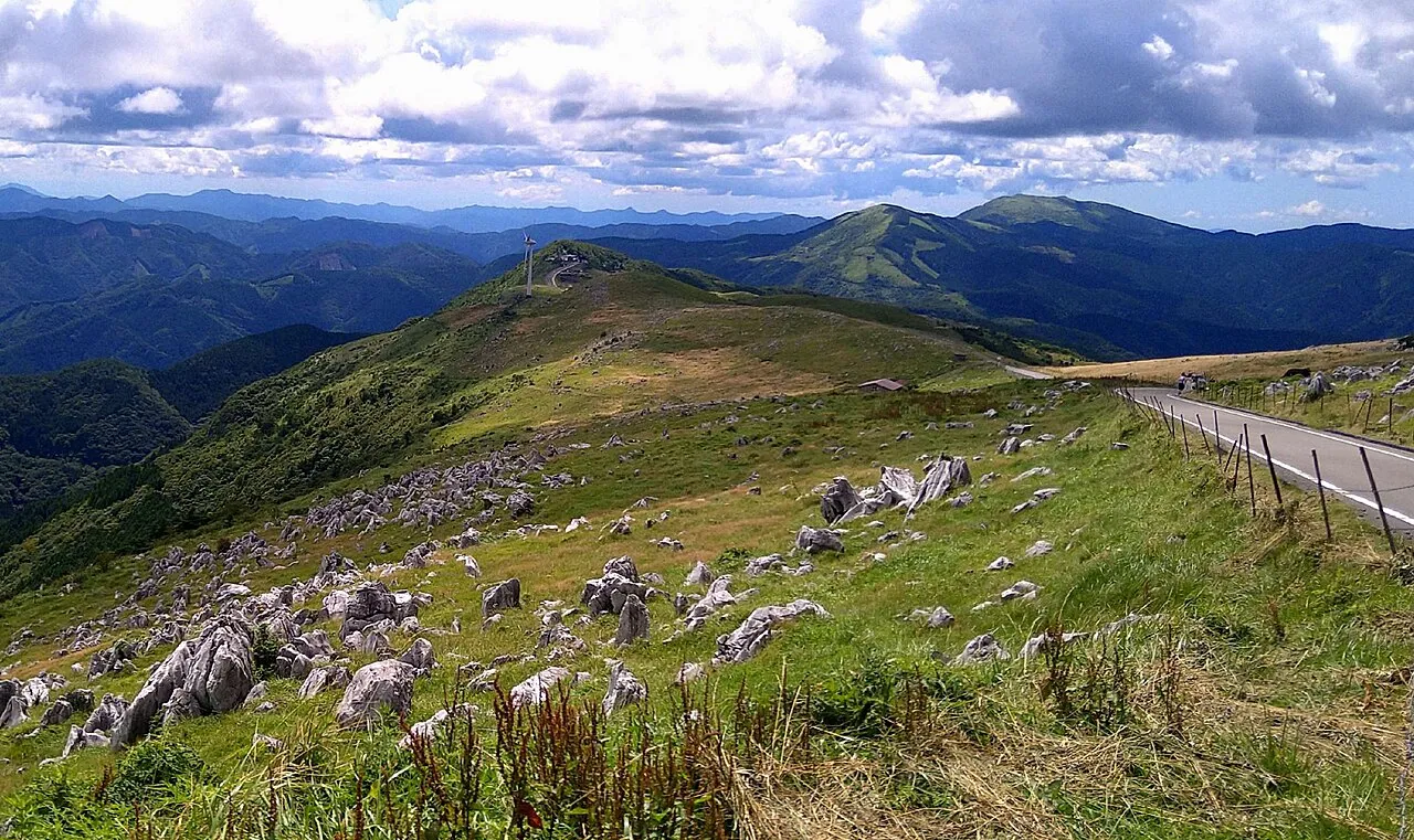
Shikoku Karst Driving Guide: Tengu-kogen, Himetsuru-daira and Onogahara with Map
How to drive the Shikoku Karst area: a one-day route from the Kochi side along the plateau to Himetsuru-daira and Onogahara, narrow roads and the closure near Jiyoshi Pass, the winter closure, parking at each stop, pampas grass and sea of clouds, and fuel.
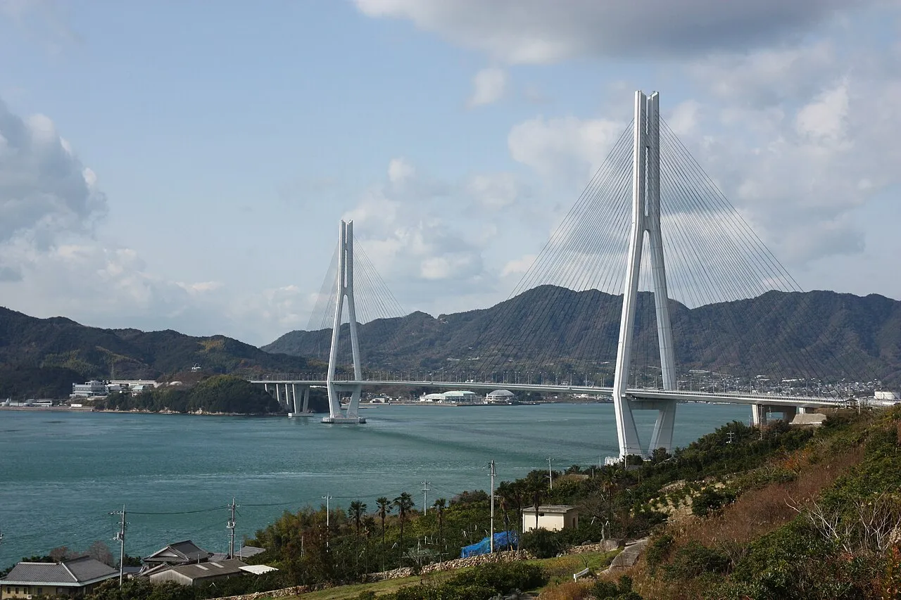
Shimanami Kaido Driving Guide: Onomichi to Imabari Island by Island, with Map
How to drive the Shimanami Kaido area: a one-day route from Onomichi through six islands to Imabari, tolls and which interchanges work in which direction, parking at each stop, sunset spots, roadworks and wind closures, and fuel.
more perspectives.
Scenery & driving creative
Tateyama and Kurobe Driving Guide: Tateyama Station, Shomyo Falls, Ogizawa and Unazuki with Map
How to drive the Tateyama and Kurobe area: the private-car ban on the Alpine Route and the car parks at Tateyama Station and Ogizawa, changing to transport for Murodo and Kurobe Dam, getting to Shomyo Falls and Kurobe Gorge, the end of the 2026 season, how to get there and fuel.
more perspectives.
Scenery & driving creative
Urabandai Driving Guide: Goshikinuma, Lake Hibara and Jododaira Route with Map
How to drive around Urabandai and Bandai: a one-day route from Inawashiro by the Lake Line round the Urabandai lakes and down by the Gold Line, how to reach Jododaira, the winter and night closures of the three sightseeing roads, roads and parking at each stop, and how to get there and fuel up.
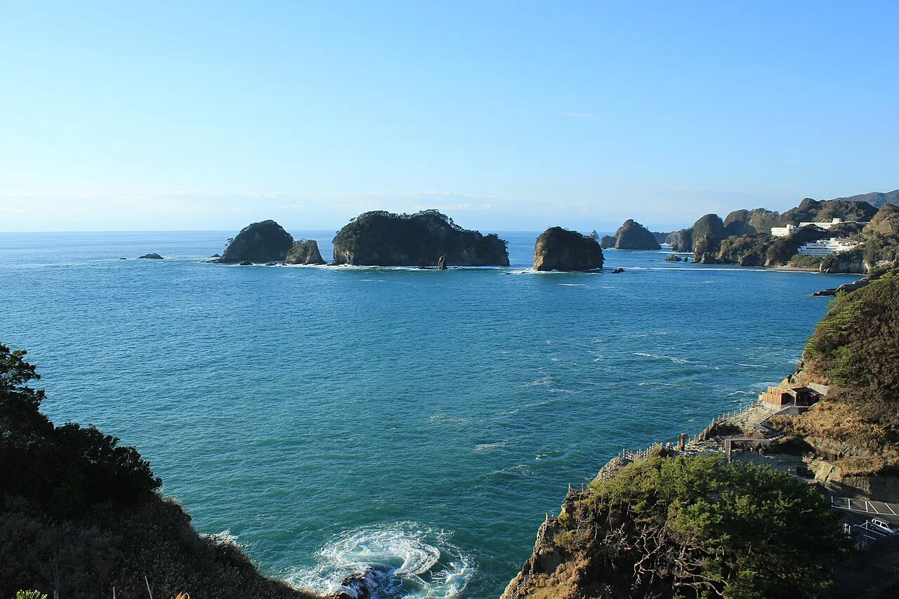
West Izu Driving Guide: Toda, Koganezaki, Dogashima and Matsuzaki Route with Map
How to drive West Izu: a one-day route from the Nishi-Izu Skyline down to Toda and south along the coast to Kumomi, the best sunset spots, rain closures, parking at each stop, how to get there and where to fill up.
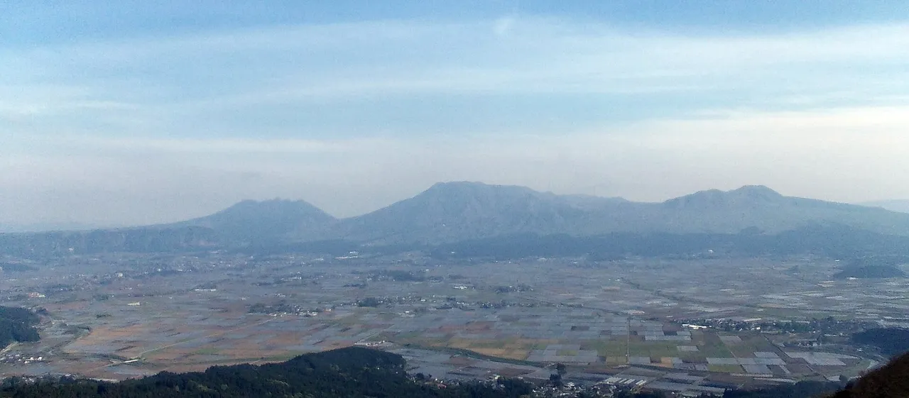
Aso Driving Guide: Recommended Routes, Map, Roads, Places to Stop and Crater Restrictions
How to drive the Aso area (seven municipalities): a one-day loop and a half-day route, roads such as the Milk Road and Yamanami Highway, parking and fees at Daikanbo, Kusasenri and more, the seasons, and current closures.