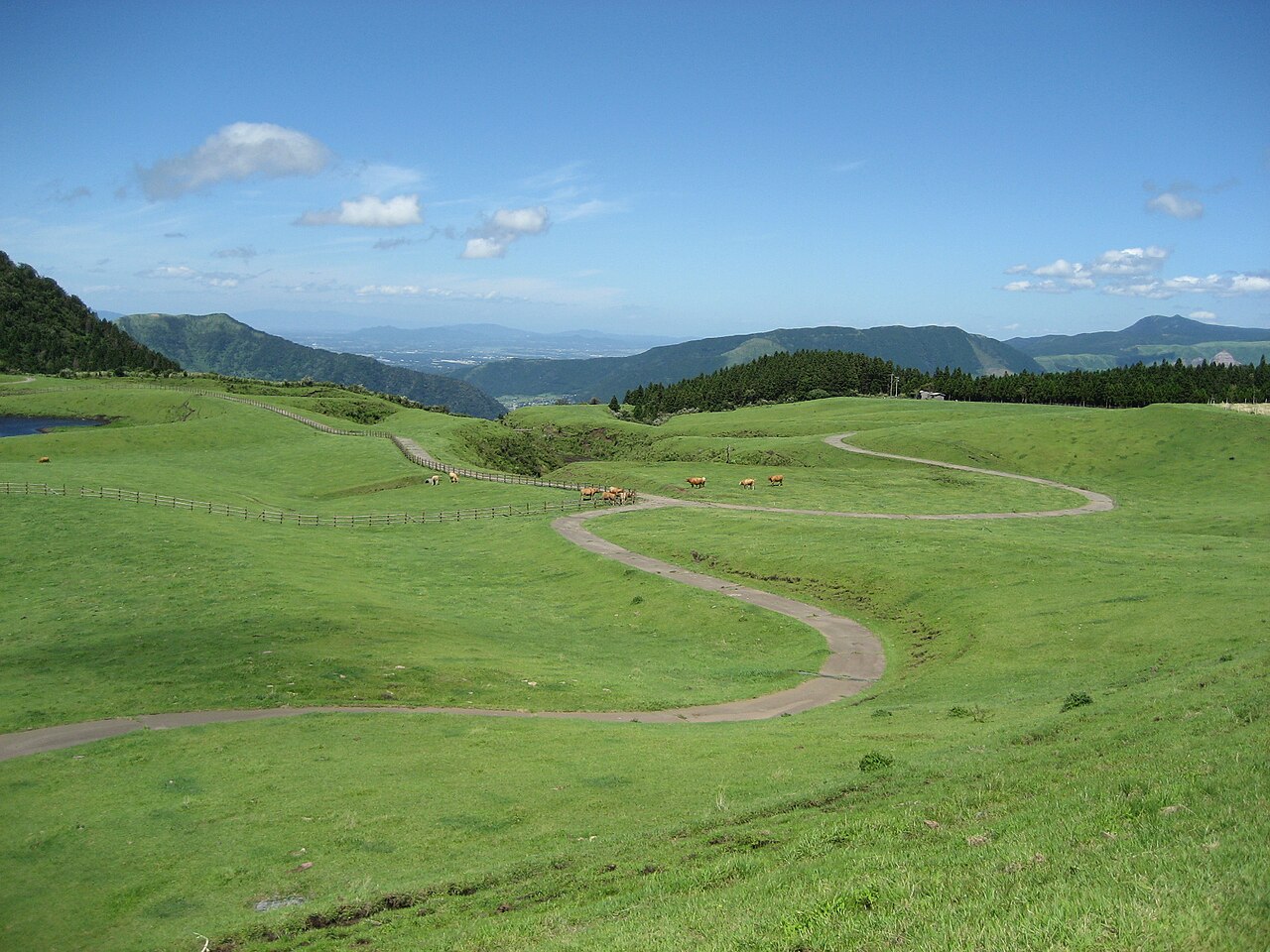
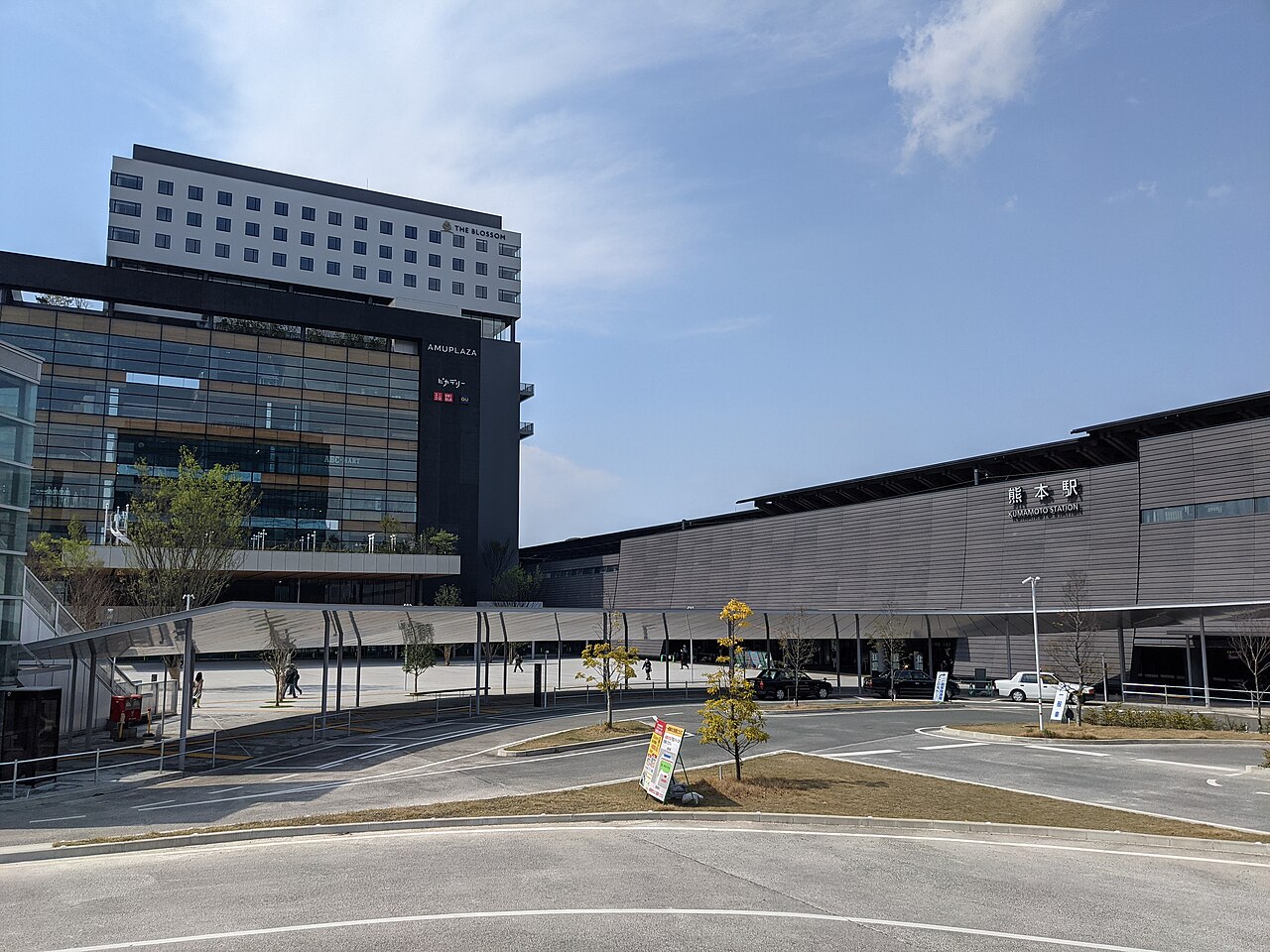
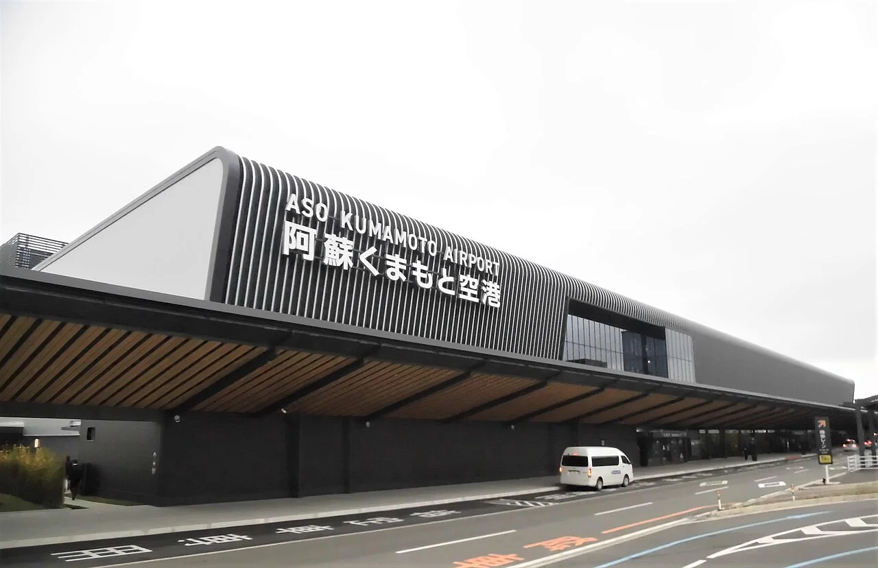
The Amakusa area spans Kamiamakusa, Amakusa City and Reihoku in Kumamoto Prefecture. Kamiamakusa has roads linking the islands and a floating aquarium. On the western side of Shimoshima, you will find Sakitsu and Oe churches, parks overlooking rocky shores, and sunset viewpoints.
For a first day, drive from Hondo through Sakitsu and Oe to the west coast. This guide covers that route through southwestern Shimoshima, parking at stops including Kamiamakusa and Reihoku, and what to know before visiting the churches.
Map of the Amakusa area
- Views and nature
- Roadside stations
- 1Jumanyama Park
- 2Sakitsu Church
- 3Oe Church
- 4Jusanbutsu Park
- 5Myokenura
- 6Kikaigaura viewpoint
- 7Shiratsuruhama Beach
- 8Tomioka Castle and Visitor Center
- 9Amakusa Shiro Museum
- 10Sea Donut Aquarium
- 11Kamiamakusa Sunpearl
- 12Ariake
- 13Sakitsu
- 14Miyajidake Kakashi no Sato
1 → 14 → 13 → 3 → 4 → 6. Walk from 13 to 2. Points 5 and 7–12 are outside the driving line.
The map could not be loaded. Use the junction-by-junction directions below.
The line follows the route described under “A first visit: Hondo to the west coast via Sakitsu and Oe.” Numbered markers show the stops: green for sights and nature, blue for roadside stations. Tap a number to see its name.
Recommended drives
A first visit: Hondo to the west coast via Sakitsu and Oe
Look over central Hondo from Jumanyama Park, then take National Route 266 to Miyajidake Kakashi no Sato roadside station. Continue to Sakitsu roadside station, park there and explore the village and church on foot. Return to your car and drive to Oe Church. From Jusanbutsu Park, look out over Myokenura and Shiratsuruhama before heading north to the Kikaigaura viewpoint.
The route is about 58.7km, with around 58 minutes of driving. Distance and time are calculated from map data and exclude traffic delays. Allow separate time for the churches, village walks, meals and your return journey.
| Section | Distance and driving time |
|---|---|
| Jumanyama Park → Miyajidake Kakashi no Sato | About 19.1km; 19 minutes |
| Miyajidake Kakashi no Sato → Sakitsu roadside station | About 20.1km; 16 minutes |
| Sakitsu roadside station → Oe Church | About 5.3km; 6 minutes |
| Oe Church → Jusanbutsu Park | About 8.0km; 11 minutes |
| Jusanbutsu Park → Kikaigaura viewpoint | About 6.3km; 6 minutes |
Amakusa Shiro Museum and Sea Donut Aquarium in Kamiamakusa, and Tomioka Castle to the north, are outside this route. If you want time to walk around Sakitsu, planning separate days for Kamiamakusa and Shimoshima makes the itinerary easier to arrange.
Reserve Sakitsu Church and explore the village on foot
Sakitsu Church requires advance reservations. Use the Sakitsu Church visit booking page before travelling. A guided tour requires a separate reservation from church admission.
Sakitsu and Oe churches are places of worship. Photography is prohibited inside, and visitors should not enter during Mass, funerals or weddings. Normal visiting hours are 9:00–17:00, but unexpected services may cause closures.
Sakitsu Church has no car park of its own. The driving line goes to Sakitsu roadside station, rather than the church entrance.
Register for ETCX and stop at the Matsushima Toll Road booth
Matsushima Toll Road, on the way from Kamiamakusa towards Amakusa City, costs ¥200 for a standard car or ¥150 for a kei car. ETCX payments require advance registration and a full stop at the toll booth. This is a separate payment service from expressway ETC.
Roads you can drive
| Road | What it connects | Length and tolls | Hours and restrictions |
|---|---|---|---|
| National Route 266 | The Amakusa Pearl Line in Kamiamakusa, and Miyajidake Kakashi no Sato on Shimoshima | — | Plan the island-crossing section and Shimoshima section separately |
| National Route 324 | The Ariake coast towards Hondo | — | Ariake roadside station is beside this road |
| National Route 389 | Sakitsu and the west coast of Shimoshima | — | Time the west-coast drive around your church visit |
| Prefectural Route 24, Hondo–Shimoda Road | Hondo and Shimoda on the west coast | — | An option for returning from the west coast towards Hondo |
| Matsushima Toll Road | Tolled section from Kamiamakusa towards Amakusa City | Standard car ¥200; kei car ¥150 | ETCX requires advance registration and a stop. Strong wind or heavy rain may cause restrictions |
| Matsushima–Ariake Road | Continues towards Ariake in combination with Matsushima Toll Road | — | Strong wind or heavy rain may cause restrictions |
Places to stop
Views and nature
Numbers match the map.
| No. | Place | Parking | What to know |
|---|---|---|---|
| 1 | Jumanyama Park | Available | Viewpoint over central Hondo. Cherry blossoms around February–early April |
| 2 | Sakitsu Church | None at the church; free visitor parking nearby | 9:00–17:00; free; advance reservation required. Closed to visitors during church services |
| 3 | Oe Church | 10 spaces | Hilltop church. 9:00–17:00; closed to visitors during church services |
| 4 | Jusanbutsu Park | 31 spaces, 2 accessible spaces and 3 large-bus spaces | Views of Myokenura and Shiratsuruhama; cherry blossoms in spring |
| 5 | Myokenura | — | View the rocky coast from the Jusanbutsu Park side. The marker identifies the scenery and is outside the driving route |
| 6 | Kikaigaura viewpoint | 15 spaces | Sunset over the Amakusa-nada horizon |
| 7 | Shiratsuruhama Beach | 150 free spaces; the northern surf-side car park is closed | Coastal walks and sunset. Use parking on the swimming-beach side |
| 8 | Tomioka Castle and Visitor Center | Available | Center open 9:00–17:00; free. Closed Wednesdays, or the following day after a public holiday, and December 30–January 1 |
| 9 | Amakusa Shiro Museum | About 30 spaces | 9:00–17:00; last admission 16:20. Adults ¥600, junior-high-school age and younger ¥300, preschool children free |
| 10 | Sea Donut Aquarium | 120 dedicated and 150 shared passenger-car spaces; free | Adults ¥1,600, elementary/junior-high students ¥900, preschool children aged 4 and over ¥600. October 20–March 19: 9:00–17:00, last entry 16:00 |
Amakusa Shiro Museum closes December 29–January 1 and the second Wednesday of January and June. Sea Donut opens daily; March 20–October 19 hours are 9:00–18:00, with last entry at 17:00.
Roadside stations
| No. | Roadside station | Parking | What to know |
|---|---|---|---|
| 11 | Kamiamakusa Sunpearl | 129 standard-car and 11 large-vehicle spaces | On National Route 266. Market open 8:00–17:00 |
| 12 | Ariake | Available | Footbridge to Shirogahama Beach. Market open 9:00–18:00 |
| 13 | Sakitsu | 48 standard-car, 6 large-vehicle and 90 temporary spaces | Village guidance center. Open 9:00–17:30; closed December 30–January 1 |
| 14 | Miyajidake Kakashi no Sato | 40 standard-car and 5 large-vehicle spaces | Outdoor scarecrow displays. March–October: 9:00–18:00; November–February: 9:00–17:00 |
Miyajidake Kakashi no Sato closes on the first and third Wednesdays, or the following Thursday after a public holiday, and December 31 and January 1.
Best seasons and crowds
| Season | Highlights and cautions |
|---|---|
| Around February–early April | Cherry blossoms at Jumanyama Park; Jusanbutsu Park also has spring blossoms |
| October 20–March 19 | Sea Donut uses winter hours, with entry until 16:00 |
| Days planned around sunset | Allow time to walk before sunset at Jusanbutsu Park, Shiratsuruhama or Kikaigaura |
Sunset in Kumamoto City on October 31 is at 17:28. Use this as a planning reference; the local time in Amakusa differs.
Where and when it gets busy
For Sakitsu, choose your reservation time first, then allow for parking and walking through the village. Nearby visitor car parks are small. Planning to park at the roadside station and walk avoids driving up to the church.
Road closures and restrictions as of October 27
- Strong wind or heavy rain may restrict or close Matsushima Toll Road and Matsushima–Ariake Road. Check the road information at the top of this page before leaving.
- A July 30 notice for Mount Takabuto says post-earthquake trail safety checks have not been completed. It is excluded from the stops in this guide.
- The northern, surf-side car park at Shiratsuruhama is closed. Use parking on the SUNSET CAFE and Amakusa Chamber of Commerce Amakusa branch side.
Getting there and fuel
| Starting point | Approximate journey |
|---|---|
| Matsubase IC, Kyushu Expressway | About 1 hour 40 minutes to Jumanyama Park |
| Kumamoto City | About 2 hours 10 minutes to Jumanyama Park |
| Amakusa Airport | About 20 minutes to Jumanyama Park |
| Matsubase IC, Kyushu Expressway | About 37km and 50 minutes to Kamiamakusa Sunpearl |
| Matsubase IC, Kyushu Expressway | About 2 hours 10 minutes to Sakitsu Church |
Fill up before driving southwest from Hondo. ENEOS Dr.Drive Hondo Otamachi SS is at 6-8 Otamachi, Amakusa City, and opens 8:00–19:00.
If you don't have a car
Find pickup locations in the Kumamoto car-rental directory. Check the driving licence and IDP guide and airport car-rental pickup guide before booking.
Frequently asked questions
Where should I drive for a day in Amakusa?
Start at Jumanyama Park in Hondo and visit Miyajidake Kakashi no Sato, Sakitsu and Oe before Jusanbutsu Park and Kikaigaura. The route is about 58.7km, with around 58 minutes of driving. Allow separate time for church visits, village walks, meals and the return journey.
Do I need to reserve Sakitsu Church?
Yes, church admission requires advance reservations. A guided tour needs a separate booking. Visitors cannot enter during church services.
Can I drive right up to Sakitsu Church?
The church has no car park. On this route, park at Sakitsu roadside station and explore the village and church on foot.
Can I use ETC on Matsushima Toll Road?
You can pay with an ETC card through ETCX, but advance registration and a full stop at the toll booth are required. It is a separate service from expressway ETC.
Where can I watch the sunset?
Options include Jusanbutsu Park, Shiratsuruhama and Kikaigaura. Sunset on October 31 is at 17:28 in Kumamoto City, used here as a reference. Include the drive back to your destination after sunset in your plans.
Nearby areas and guides
Sources & verification
Last verified: 2026-10-27
- Amakusa Takarajima Tourism Association (official page, in Japanese) · 2026-10-27
- Amakusa Takarajima Tourism Association (official page, in Japanese) · 2026-10-27
- Amakusa Takarajima Tourism Association (official page, in Japanese) · 2026-10-27
- Amakusa Takarajima Tourism Association (official page, in Japanese) · 2026-10-27
- Amakusa Takarajima Tourism Association (official page, in Japanese) · 2026-10-27
- Amakusa Takarajima Tourism Association (official page, in Japanese) · 2026-10-27
- Amakusa Takarajima Tourism Association (official page, in Japanese) · 2026-10-27
- Amakusa Takarajima Tourism Association (official page, in Japanese) · 2026-10-27
- Amakusa Takarajima Tourism Association (official page, in Japanese) · 2026-10-27
- Amakusa Takarajima Tourism Association (official page, in Japanese) · 2026-10-27
- Amakusa Reihoku Tourism Association (official page, in Japanese) · 2026-10-27
- Kumamoto Prefecture (official page, in Japanese) · 2026-10-27
- Kamiamakusa City (official page, in Japanese) · 2026-10-27
- Amakusa Shiro Tourism Association (official page, in Japanese) · 2026-10-27
- Sea Donut Aquarium (official page, in Japanese) · 2026-10-27
- Amakusa Shiro Tourism Association (official page, in Japanese) · 2026-10-27
- Sea Donut Aquarium (official page, in Japanese) · 2026-10-27
- MLIT Kyushu Regional Development Bureau (official page, in Japanese) · 2026-10-27
- Amakusa Shiro Tourism Association (official page, in Japanese) · 2026-10-27
- MLIT Kyushu Regional Development Bureau (official page, in Japanese) · 2026-10-27
- MLIT Kyushu Regional Development Bureau (official page, in Japanese) · 2026-10-27
- Amakusa Takarajima Tourism Association (official page, in Japanese) · 2026-10-27
- MLIT Kyushu Regional Development Bureau (official page, in Japanese) · 2026-10-27
- MLIT Kyushu Regional Development Bureau (official page, in Japanese) · 2026-10-27
- MLIT Kyushu Regional Development Bureau (official page, in Japanese) · 2026-10-27
- MLIT Kyushu Regional Development Bureau (official page, in Japanese) · 2026-10-27
- MLIT Kyushu Regional Development Bureau (official page, in Japanese) · 2026-10-27
- Miyajidake Kakashi no Sato roadside station (official page, in Japanese) · 2026-10-27
- Kumamoto Prefecture (official page, in Japanese) · 2026-10-27
- Ministry of Land, Infrastructure, Transport and Tourism (MLIT) (official page, in Japanese) · 2026-10-27
- Kumamoto Road Public Corporation (official page, in Japanese) · 2026-10-27
- Kumamoto Road Public Corporation (official page, in Japanese) · 2026-10-27
- Kumamoto Road Public Corporation (official page, in Japanese) · 2026-10-27
- OpenStreetMap (map positions and route; © OpenStreetMap contributors, ODbL; route calculated with OSRM) · 2026-10-27
- Japan Meteorological Agency (official page, in Japanese) · 2026-10-27
- ENEOS (official page, in Japanese) · 2026-10-27
- Kamiamakusa City (official page, in Japanese) · 2026-10-27
- National Astronomical Observatory of Japan (official page, in Japanese) · 2026-10-27
- Japan Meteorological Agency (official page, in Japanese) · 2026-10-27
- OpenStreetMap (map positions and route; © OpenStreetMap contributors, ODbL; route calculated with OSRM) · 2026-10-27