All six roads here are mountain roads that Taka, who runs this site, has driven. Five of them close for winter one after another from November. In 2026, the Bandai-Azuma Skyline has been closed at night since 29 October, the Shibu Pass closes at 13:00 on 11 November, the Bandai-Azuma Skyline closes for winter at 17:00 on 13 November, and part of the Venus Line closes at 11:00 on 18 November. The Hachimantai Aspite Line usually closes between late October and early November.
This page compares the six roads by length and height, 2026–27 winter closures, distance from the expressway and parking, then describes each one. To drive one this year, plan from the road that closes first.
Six roads and when you can drive them this year
| Road | Location | Length and height | Toll | Winter 2026–27 closure |
|---|---|---|---|---|
| Venus Line | Nagano | 75.2km in total, average elevation 1,400m | Free | Yashima Kogen Car Park to Wada Pass and other sections: 11:00 on 18 November to 11:00 on 20 April 2027 |
| Bandai-Azuma Skyline | Fukushima | 28.7km in total, highest point 1,622m | Free | Closed at night 17:00–08:00 from 29 October to 08:00 on 13 November. Closed for winter from 17:00 on 13 November |
| Hachimantai Aspite Line | Iwate and Akita | About 27km | Free | Usually from late October or early November to mid-April. Before closing, from mid-October to early November, closed at night 17:00–08:30 |
| Shikoku Karst (Prefectural Road 383) | Ehime and Kochi | About 25km east to west, elevation 1,000–1,500m | — | Dates for fiscal 2026 not announced. Last winter: 10:00 on 5 December 2025 to 11:00 on 18 March 2026 |
| Shibu Pass (Route 292) | Gunma and Nagano | Highest point on Japan's national roads, 2,172m | — | Tenguyama Gate to Shibu Pass to Yosaka: 13:00 on 11 November to 10:00 on 21 April 2027 (scheduled) |
| Mt Aso (Aso Panorama Line) | Kumamoto | About 37km in total | — | No winter closure announced. Volcanic alert level 2, with no entry within about 1km of the crater |
Even before winter closures begin, snow, icy roads or volcanic gas can close these roads. Our winter road closures calendar lists closing dates for other mountain roads.
Compare access and parking
| Road | From the expressway | Parking | More detail |
|---|---|---|---|
| Venus Line | Chuo Expressway Suwa IC to Lake Shirakaba: about 20km, about 30 minutes | At each facility along the road | Venus Line model course, Suwa drive |
| Bandai-Azuma Skyline | Fukushima-Nishi IC to Jododaira: 29km, about 1 hour. Fukushima-Ozaso IC: 30km, about 45 minutes | Jododaira 300 spaces, cars ¥500 | Urabandai and Bandai drive |
| Hachimantai Aspite Line | Matsuo-Hachimantai IC to the Hachimantai viewing car park: about 26km, about 40 minutes | Viewing car park 107 spaces, standard cars ¥500 per day | — |
| Shikoku Karst | Susaki-Higashi IC to Karst Terrace in Tengu-kogen: about 1 hour 20 minutes | Tengu-so about 200 spaces (free), Himetsuru-so about 60 spaces | Shikoku Karst drive |
| Shibu Pass | Shinshu-Nakano IC: 40km, 60 minutes | Standard cars 40 spaces | Shiga–Kusatsu Road model course, Shiga Kogen and Kusatsu drive |
| Mt Aso | Kumamoto IC to the Aso Panorama Line: about 40 minutes | Kusasenri and Aso-sanjo car parks share one ¥500 fee for cars (one visit to each on the same day) | Aso drive |
The six roads, one by one
Venus Line: 75km across upland grassland
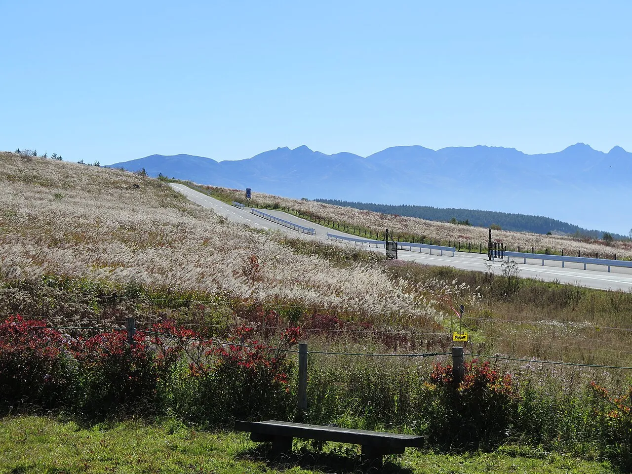
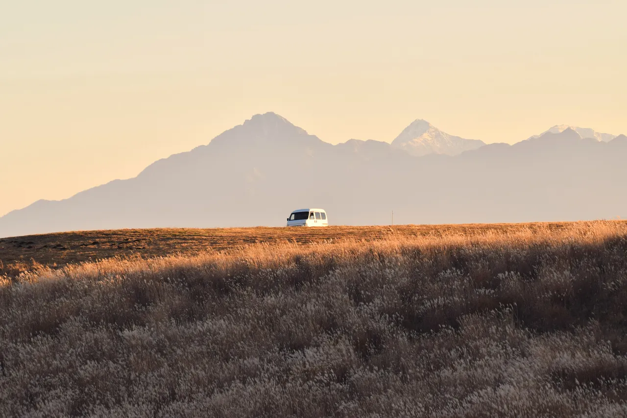
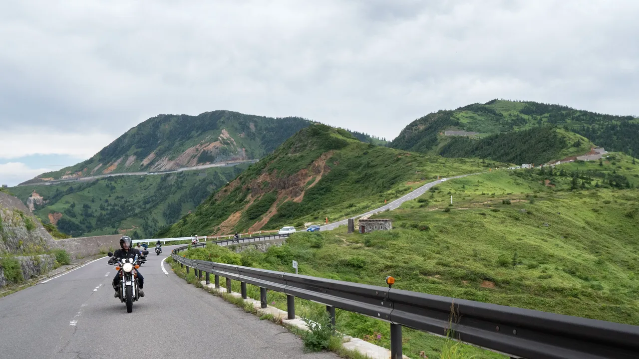
This road runs 75.2km from the town of Chino past Lake Shirakaba and Kirigamine to the Utsukushigahara Plateau in Matsumoto. Autumn colour starts at about 2,000m on Utsukushigahara and usually peaks from early to mid-October. In summer, Nikko day lilies bloom from early to late July.
Taka's note: "Grassland spreading across the plateau."
In winter, the sections from Yashima Kogen Car Park to Wada Pass and from Wada Pass to the junction with the old Route 142 are closed from 11:00 on 18 November 2026 to 11:00 on 20 April 2027. Part of the Utsukushigahara Park Higashimochiya Line, which climbs to Utsukushigahara, closes for the same period. Our Venus Line model course covers the order of stops and parking.
Bandai-Azuma Skyline: threading volcanic slopes
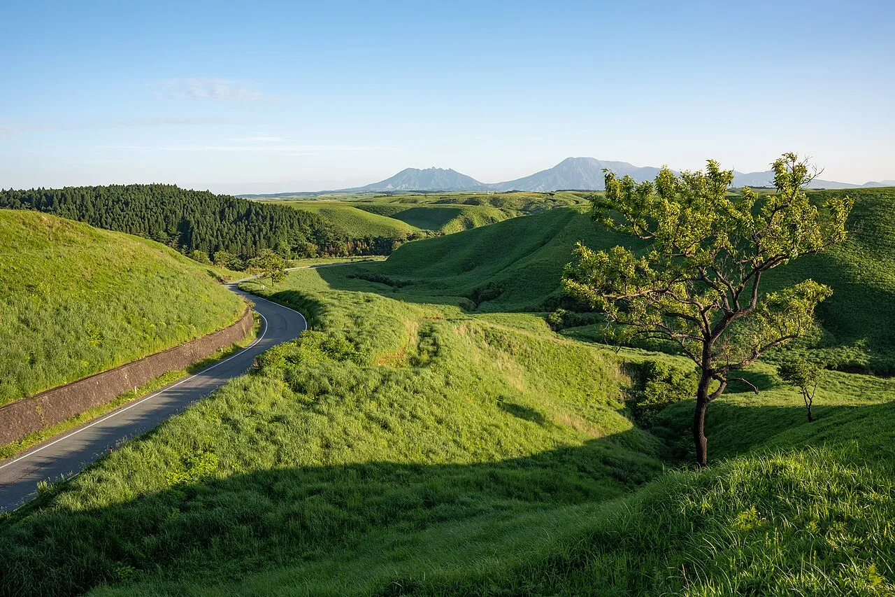
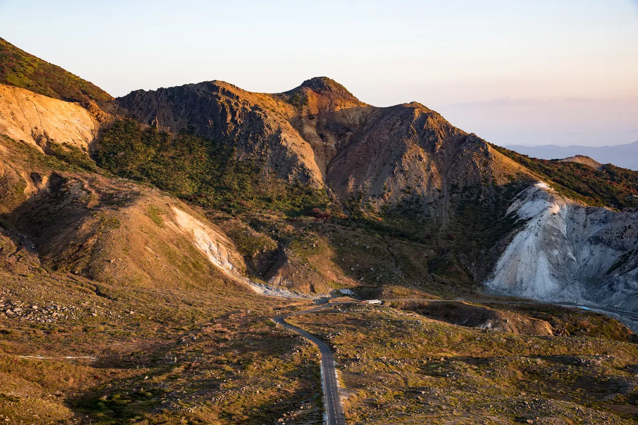
This 28.7km road runs from the former Takayu Gate in Fukushima City to the former Tsuchiyu Gate, passing Jododaira. Its average elevation is 1,350m and its highest point 1,622m, and it takes about an hour to drive through.
Taka's note: "A volcanic landscape that smells of sulphur."
If volcanic gas exceeds the standard at a point 12.8km from Takayu Gate, the section from Jododaira to Fudosawa closes. In 2026 it is closed at night, 17:00–08:00 daily, from 29 October to 08:00 on 13 November, then for winter from 17:00 on 13 November. Bad weather can bring these dates forward or close it all day, and winter tyres are recommended near Jododaira. It reopened at 10:00 on 21 April in spring 2026. Our Urabandai and Bandai drive covers Jododaira and Mt Azuma-kofuji.
Hachimantai Aspite Line: a ridge road linking Iwate and Akita
This road of about 27km crosses Hachimantai from Iwate into Akita. Just after it opens in mid-April, you can drive the "snow corridor", with several metres of snow on both sides of the road.
Taka's note: "Straight along the upland ridge."
The Hachimantai Aspite Line and the Hachimantai Jukai Line are fully closed through winter until around mid-April. The start is given as both late October and early November, so check before you go. Before closing, from mid-October to early November, they are closed from 17:00 to 08:30. To drive it this year, you are limited to daytime hours until it closes.
Shikoku Karst: an east–west upland above 1,000m
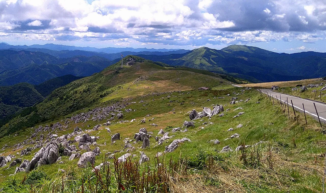
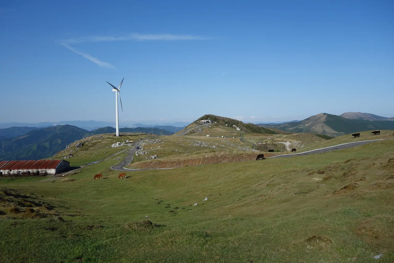
On the border of Ehime and Kochi, an upland at 1,000–1,500m runs about 25km from east to west. "Tengu no Mori" in Tengu-kogen is 1,485m above sea level.
Taka's note: "A ridge road lined with wind turbines."
Prefectural Road 383 (14.8km), which crosses the upland, closes along its whole length in winter. Dates for fiscal 2026 had not been announced as of 1 November. Last winter it closed from 10:00 on 5 December 2025 to 11:00 on 18 March 2026, and over the seven years since fiscal 2019 the earliest closure was 24 November. Only the main forest road on the Kochi side (Higashitsuno–Shirokawa Line) has two lanes all the way to Shikoku Karst; other routes have narrow places where passing is difficult.
Prefectural Road 36, on the route from the Matsuyama side to Himetsuru-daira, has timed closures for roadworks until 22 January 2027. If you are in a hurry, use the forest road to Tengu-kogen or a route from the Kochi side. Our Shikoku Karst drive covers the order of stops and which road to use.
Shibu Pass: beside the highest point on Japan's national roads
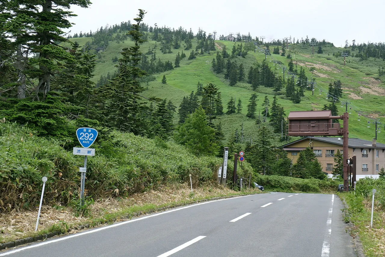
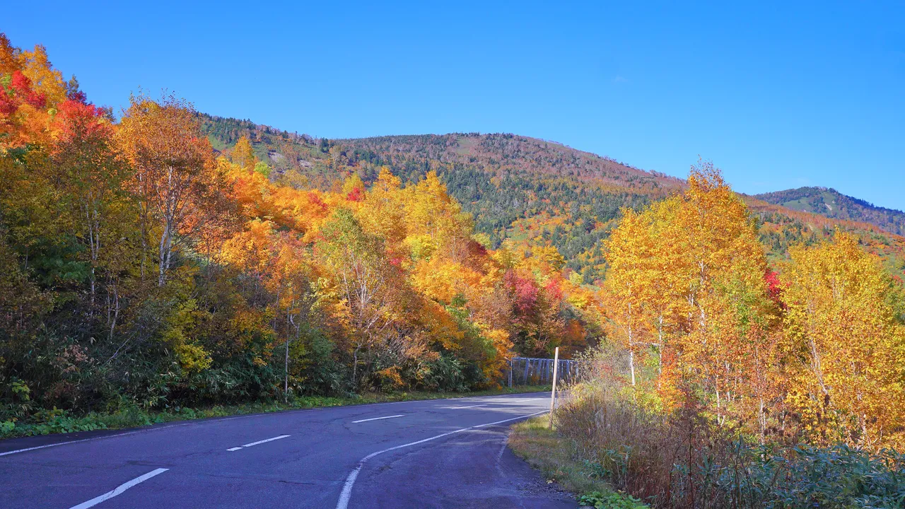
This pass on Route 292 (the Shiga–Kusatsu Road) sits on the border of Gunma and Nagano. The highest point on any national road is at 2,172m, just inside Gunma from the pass.
Taka's note: "Climbing through autumn mountains to the pass."
In winter, the 17.9km from Tenguyama Gate to Shibu Pass on the Gunma side and the 5.2km from Shibu Pass to Yosaka on the Nagano side close from 13:00 on 11 November 2026 to 10:00 on 21 April 2027 (scheduled). Snow can close the road before this date. Our Shiga–Kusatsu Road model course has details of Mt Shirane restrictions and parking.
Mt Aso: the Panorama Line through grassland beside a volcano
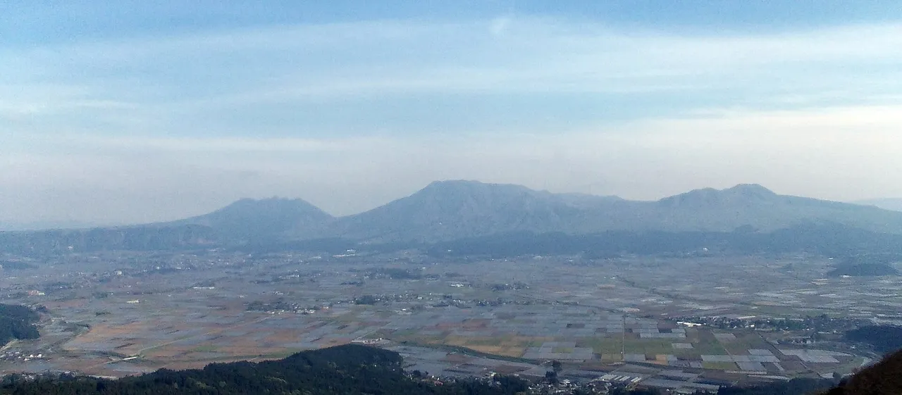
The Aso Panorama Line is the combined name for the Bochu Line on the Aso Station side, the Yoshida Line on the Minamiaso side and the Akamizu Line on the west side, about 37km in all. The Bochu Line crosses Kusasenri-ga-hama.
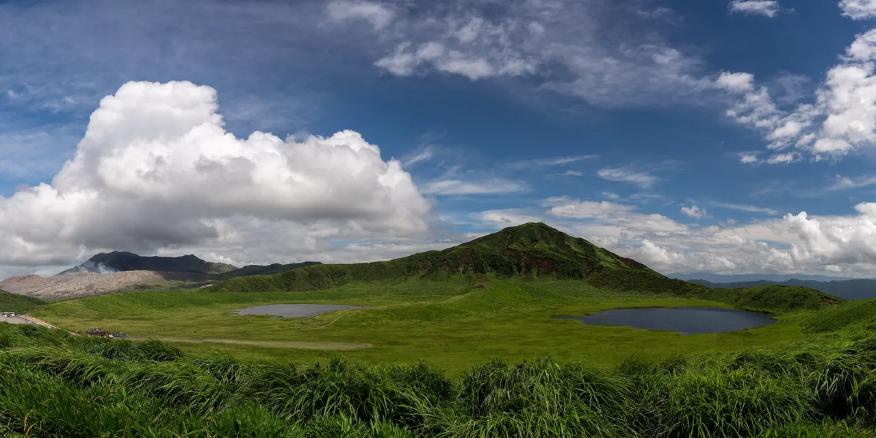
Taka's note: "There were horses on Kusasenri-ga-hama and Mt Eboshi, and they were so cute."
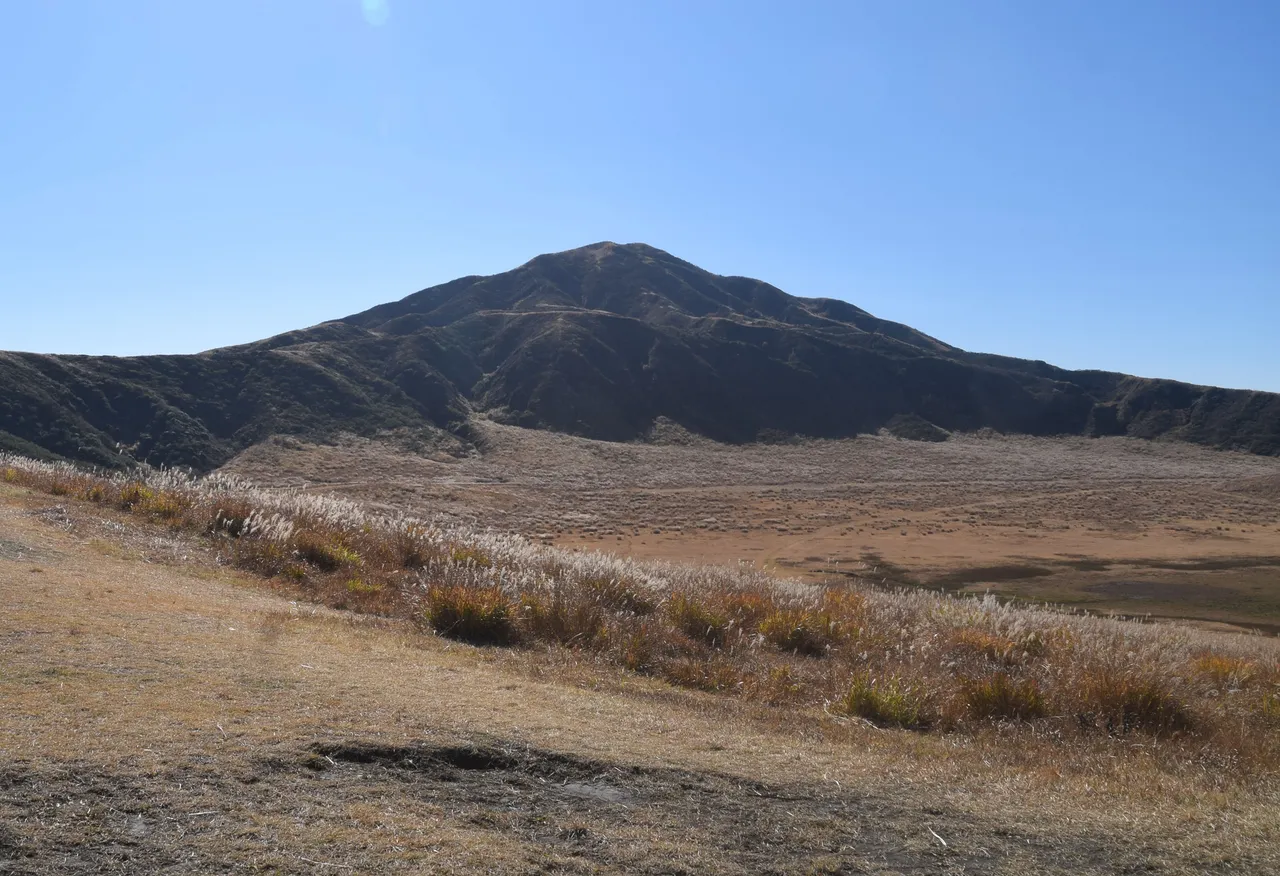
Kusasenri-ga-hama is a crater site from about 30,000 years ago, at an elevation of about 1,140m. It has a grassy plain about 1km across and a pond where water collects in the crater. The best time is summer, when the grass turns green, and the snowy winter landscape is also striking.
Mt Aso has been at volcanic alert level 2 since 1 September 2026, with no entry within about 1km of Nakadake's first crater. The Aso-san Park Road up to the crater is closed, and crater visits are not possible. You can drive as far as Kusasenri-ga-hama and the summit plaza. A survey on 28 October found volcanic gas (sulphur dioxide) at 2,700 tonnes a day, up from 1,500 tonnes on the 27th. Winter brings ice and snow, so carry winter tyres or chains. Our Aso drive covers the area.
Checks before you drive
Drive one or two roads on one trip
The six roads range from Tohoku to Kumamoto in Kyushu. Even the two in Tohoku, the Bandai-Azuma Skyline and the Hachimantai Aspite Line, are in Fukushima and in Iwate and Akita. Drive one or two on a trip and stay nearby, so you have time left for the scenery.
Check road information on the morning of your drive
All six are mountain roads, so night closures, volcanic gas, snow or ice can close them even before the winter closure. On the morning you go, check the road restrictions page of the prefecture that manages the road. For the mountains in November, a car with winter tyres is the safer choice.
Do not get caught in the dark up in the mountains
Days get shorter in autumn. Work back from your return time and fix when you will start down the mountain, so that you get down before dark.
If you don't have a car
You can rent near an airport or station and drive from there. Starting points are stations in Nagano Prefecture for the Venus Line and Shibu Pass, Matsuyama or Kochi Airport for Shikoku Karst, and Kumamoto Airport for Mt Aso. Whether winter tyres are fitted depends on the company and departure date, so check when you book.
Related guides
Sources & verification
Last verified: 2026-11-01
- Go NAGANO (official page, in Japanese) · 2026-11-01
- Nagano Prefecture, Suwa Construction Office (official page, in Japanese) · 2026-11-01
- Nagano Prefecture, Ueda Construction Office (official page, in Japanese) · 2026-11-01
- Chino Tourism Organization (official page, in Japanese) · 2026-11-01
- Fukushima Prefecture (official page, in Japanese) · 2026-11-01
- Fukushima Travel (Fukushima Prefectural Tourism Association) (official page, in Japanese) · 2026-11-01
- Fukushima City Tourism Note (official page, in Japanese) · 2026-11-01
- Fukushima Prefecture Kenpoku Construction Office (official page, in Japanese) · 2026-11-01
- Fukushima Prefecture Inawashiro Civil Engineering Office (official page, in Japanese) · 2026-11-01
- Fukushima Travel (Fukushima Prefectural Tourism Association) (official page, in Japanese) · 2026-11-01
- Ministry of the Environment (official page, in Japanese) · 2026-11-01
- Explore Kazuno (Kazuno City tourism) (official page, in Japanese) · 2026-11-01
- Explore Kazuno (Kazuno City tourism) (official page, in Japanese) · 2026-11-01
- Kochi Tabi Net (Kochi Convention and Visitors Association) (official page, in Japanese) · 2026-11-01
- Kochi Tabi Net (Kochi Convention and Visitors Association) (official page, in Japanese) · 2026-11-01
- Ehime Prefecture Chuyo Regional Office (official page, in Japanese) · 2026-11-01
- Ehime Prefecture Seiyo Civil Engineering Office (official page, in Japanese) · 2026-11-01
- Ehime Prefecture Kumakogen Civil Engineering Office (official page, in Japanese) · 2026-11-01
- Himetsuru-so (official page, in Japanese) · 2026-11-01
- Ministry of Land, Infrastructure, Transport and Tourism (MLIT) (official page, in Japanese) · 2026-11-01
- Nagano Prefecture Hokushin Construction Office (official page, in Japanese) · 2026-11-01
- Go NAGANO (official page, in Japanese) · 2026-11-01
- Gunma Prefecture (official page, in Japanese) · 2026-11-01
- Nagano Prefecture Hokushin Construction Office (official page, in Japanese) · 2026-11-01
- Good Luck Trip (Kumamoto Prefecture Tourism Federation) (official page, in Japanese) · 2026-11-01
- Good Luck Trip (Kumamoto Prefecture Tourism Federation) (official page, in Japanese) · 2026-11-01
- Natural Parks Foundation, Aso Branch (official page, in Japanese) · 2026-11-01
- Japan Meteorological Agency (official page, in Japanese) · 2026-11-01
- Aso Volcano Disaster Prevention Council (official page, in Japanese) · 2026-11-01
- Aso City (official page, in Japanese) · 2026-11-01