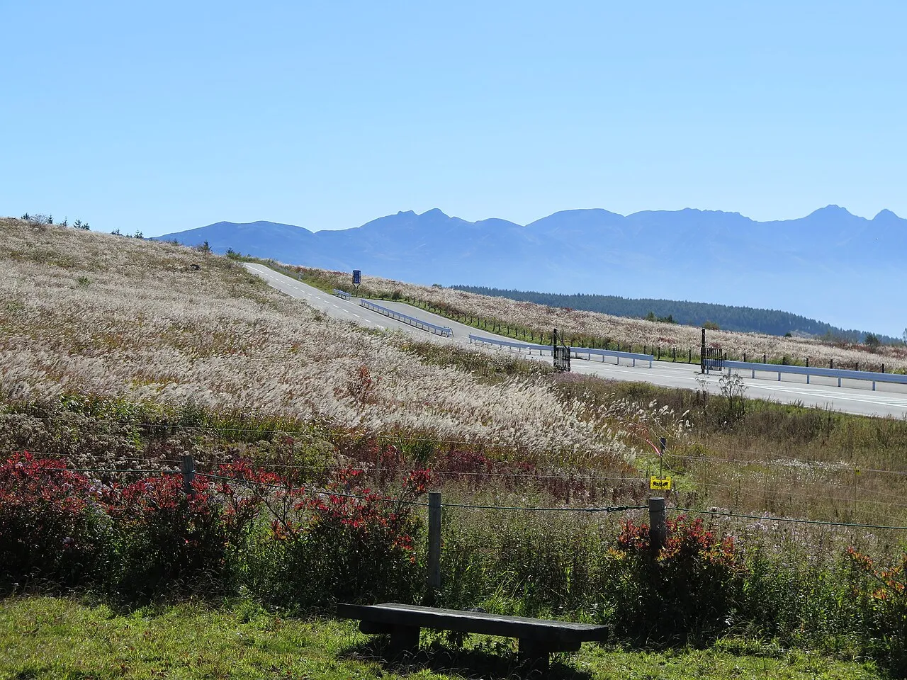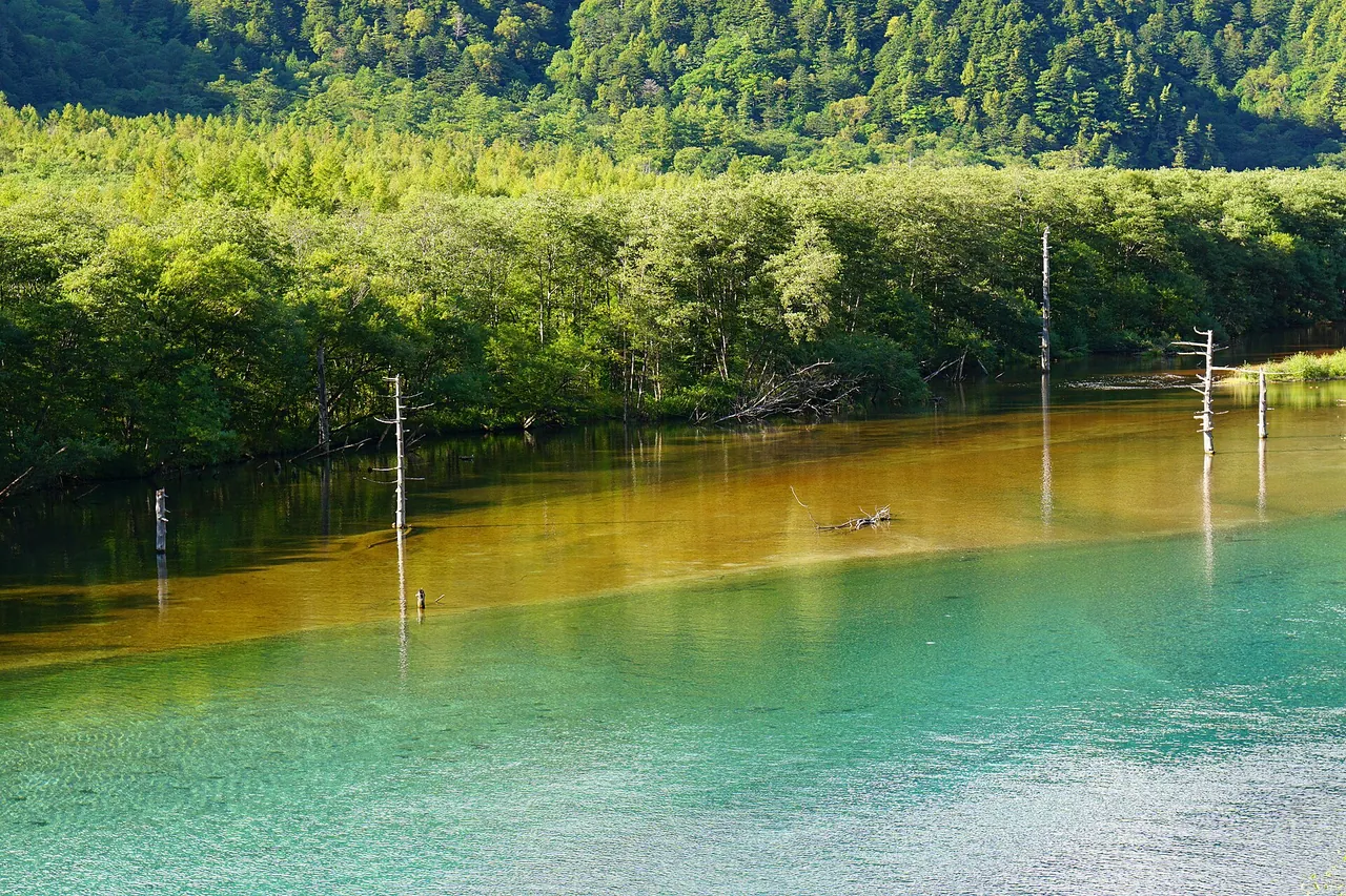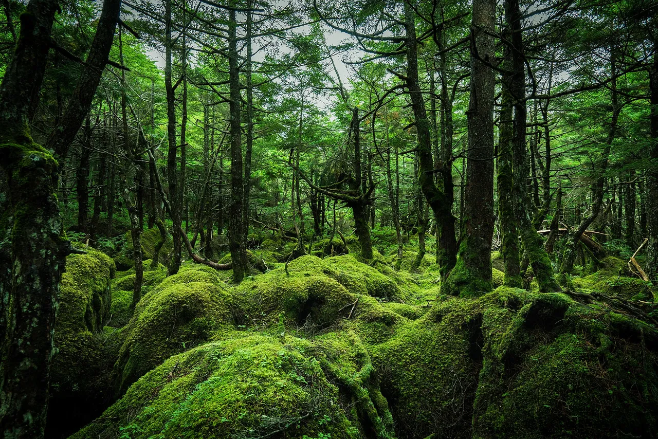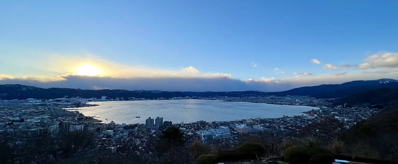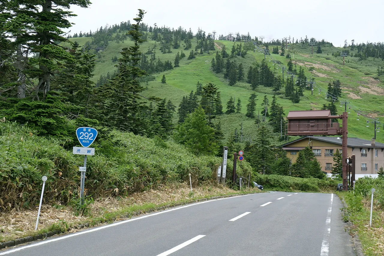
The Shiga-Kusatsu Road is the stretch of National Route 292 that climbs from Kusatsu Onsen in Gunma, crosses Shibu Pass and descends through Shiga Kogen to Yudanaka in Nagano. Near the pass, it reaches Japan's highest point on a national highway, at 2,172 m. The route connects the volcanic landscape of Mt. Shirane, Yokoteyama's viewpoints and the ponds of Shiga Kogen. For winter 2026–27, 23.1 km around Shibu Pass is scheduled to close from 13:00 on 11 November 2026 until 10:00 on 21 April 2027.
Shiga-Kusatsu Road at a glance
| Item | Details |
|---|---|
| Road | National Route 292, also called the Shiga-Kusatsu Kogen Route |
| Route | Kusatsu in Gunma, over Shibu Pass to Shiga Kogen and Yudanaka in Yamanouchi, Nagano |
| Length | About 40 km from Yudanaka to Kusatsu; 25 km from the Yokoteyama area to Kusatsu Onsen |
| Highest point | 2,172 m, Japan's highest point on a national highway, on the Gunma side near Shibu Pass |
| Access hours | Normally open 24 hours outside the winter closure, subject to temporary restrictions |
| Winter closure | Scheduled for 13:00 on 11 November 2026–10:00 on 21 April 2027: Tenguyama Gate–Shibu Pass, 17.9 km in Gunma, and Shibu Pass–Yosaka Gate, 5.2 km in Nagano |
| Volcanic restrictions | Kusatsu-Shirane is at volcanic alert level 1 as checked on 1 November 2026. The road is passable, but the area within roughly 500 m of Yugama crater remains off limits. |
| Nearest expressway approaches | Nagano side: Shinshu-Nakano IC on the Joshin-etsu Expressway, about 40 km and 60 minutes to Shibu Pass. Gunma side: Shibukawa-Ikaho IC on the Kan-etsu Expressway, about 60 km to Kusatsu. |
Suggested route and map
- 1Sessho-gawara
- 2Highest point on a national road
- 3Shibu Pass
- 4Nozoki, Mt Yokote
- 5Kido Pond
- 6Hasu Pond
- 7Biwa Pond
- 8Kanman Falls viewpoint
- 9Michi-no-eki Kitashinshu Yamanouchi
Kusatsu Onsen → 1 → 2 → 3 → 4 → 5 → 6 → 7 → 8 → 9
The map could not be loaded. Use the junction-by-junction directions below.
This one-way drive starts in Kusatsu Onsen, crosses Shibu Pass, visits Shiga Kogen's ponds and descends to Kita-Shinshu Yamanouchi roadside station.
| Order | Stop | Distance from Kusatsu Onsen | How to visit |
|---|---|---|---|
| 1 | Sesshogawara | About 7 km | View from the car. Hydrogen sulfide vents are present; stay outside the fences. |
| 2 | Japan's highest national-highway point | About 20 km | Parking spaces beside the monument |
| 3 | Shibu Pass | About 20 km | Shibutoge Hotel issues a highest-point certificate for ¥100; parking for 40 cars |
| 4 | Nozoki, Yokoteyama | About 22 km | Sunset and cloud-sea viewpoint; summit access normally uses the Skylator and lift, with the late-season exception below |
| 5 | Kidoike Pond | About 30 km | Early morning can bring autumn reflections; walk the boardwalk at nearby Tanohara Marsh |
| 6 | Hasuike Pond | About 33 km | Walk around the pond |
| 7 | Biwaike Pond | About 35 km | Autumn colour usually progresses from Hasuike through Maruike to Biwaike |
| 8 | Kanmandaki Falls viewpoint | About 38 km | Free parking |
| 9 | Kita-Shinshu Yamanouchi roadside station | About 51 km | 76 car spaces; listed business hours 08:30–18:00 |
Distances were calculated from map data. Shinshu-Nakano IC to Shibu Pass takes about 60 minutes, so you can also drive the route in reverse from Nagano to Kusatsu. Allow half a day from Kusatsu to the roadside station as a planning allowance: this is a winding mountain road with climbs, descents and several possible stops.
Stops and parking in route order
Mt. Shirane's car park is closed and Yugama cannot be visited
Beyond Sesshogawara, Mt. Shirane rises to 2,160 m and has the crater lakes Yugama, Mizugama and Karagama. Although the volcanic alert level is 1, the area within roughly 500 m of Yugama remains restricted, and the crater lake cannot be viewed from the closed visitor area. A trial opening of part of the surrounding area began on 13 October and ended on 19 October 2026. The car park has been closed since 20 October, and no reopening date has been announced.
The national highway has one lane in each direction. Do not stop on the road to wait for access or attempt to walk into the closed area. Around Sesshogawara, keep out of fenced areas and hollows where hydrogen sulfide can collect, especially in still, overcast weather.
Get a highest-point certificate at Shibu Pass
The monument marking the national-highway high point, 2,172 m, is slightly on the Gunma side of Shibu Pass. Its parking spaces are beside a busy road, so take care when entering and leaving.
Shibutoge Hotel stands across the prefectural border at 2,152 m. It issues a certificate marking your visit to Japan's highest national-highway point for ¥100. Its restaurant and cafe operate from spring to autumn. The hotel also has what it describes as Japan's highest-altitude petrol station, offering fuel only during that season.
Yokoteyama's sightseeing lift season ends on 3 November
Nozoki, at about 2,100 m, is one of Shinshu's 100 selected sunset viewpoints. From the Manten View Terrace at Yokoteyama's 2,307 m summit, views extend to the Northern Alps and, in clear conditions, Mt. Fuji and the Sea of Japan.
In the published 2026 schedule, the full Skylator and lift combination ran through 25 October. From 26 October to 3 November, only the Shibutoge Romance Lift is scheduled to operate. Return tickets are ¥2,200 for adults and ¥1,900 for children. Check the operator's daily status before travelling.
Follow the autumn colour through Shiga Kogen's ponds
Kidoike is surrounded by birch trees, and early mornings can bring reflections of the autumn foliage. The adjacent Tanohara Marsh has a boardwalk; keep to it to protect the wetland. The visitor centre lists Kidoike's public toilets as open through 12 November 2026, then closed for winter until late April 2027.
Colour usually moves down from the higher Hasuike area through Maruike to Biwaike. Kanmandaki Falls viewpoint has free parking and makes another stop on the descent.
Open season and restrictions
The road across Shibu Pass closes from 11 November
The planned winter closure runs from 13:00 on 11 November 2026 until 10:00 on 21 April 2027. It covers Tenguyama Gate–Shibu Pass on the Gunma side, 17.9 km, and Shibu Pass–Yosaka Gate on the Nagano side, 5.2 km. The 3.0 km connection from the Manza gate area to Manza Junction also closes for the same period. From Nagano, cars can normally reach Yosaka at 1,830 m during winter, subject to road conditions.
Ice can trigger closures before the scheduled winter shutdown. For example, Tenguyama Gate–Shibu Pass reopened at 09:00 on 23 October 2026 after a temporary closure. Snow can fall at high elevations from October. Fit winter tyres, carry chains and check the road status; scheduled reopening dates can also change with snow conditions.
A higher volcanic alert can close the Kusatsu side
If Kusatsu-Shirane's alert rises to level 2, the approximately 8.5 km between Sessho Gate and Manza Junction may close. During the previous level-2 period, from 4 August 2025 to 15 May 2026, this section was fully closed. Through traffic resumed on 29 May 2026. Check the Japan Meteorological Agency's current Kusatsu-Shirane information before departure, together with the town's access notices.
Best seasons and crowds
| Season | What to expect |
|---|---|
| Late April–May | After the winter closure ends, the road near Shibu Pass passes between snow walls. In 2025, they were about 5 m high. |
| Summer | Nozoki, at about 2,100 m, offers cooler mountain conditions. |
| Late September–late October | Autumn colour starts around Yokoteyama in late September, spreads across the plateau in early October and reaches Hasuike–Biwaike around 10 October in a typical year. |
| Autumn | Cloud seas and stars from Nozoki and Yokoteyama; sunrise from Shibu Pass |
The snow corridor is formed during snow clearance, usually from late March to mid-April. A walking event is normally held the day before the road reopens; check the year's announcement before planning around it.
During October 2026's partial opening at Mt. Shirane, vehicles waiting to enter repeatedly queued along Route 292. Start early on autumn weekends and continue driving if a car park is full instead of waiting on the road.
Getting there and fuel
From Nagano, leave the Joshin-etsu Expressway at Shinshu-Nakano IC and climb Route 292 into Shiga Kogen. Shibu Pass is about 40 km and 60 minutes away. The former Shiga-Nakano Toll Road became free on 16 March 2025. From Gunma, leave the Kan-etsu Expressway at Shibukawa-Ikaho IC, follow Routes 353 and 145 to Naganohara, then take Route 292 to Kusatsu.
Fuel
Shibutoge Hotel's high-altitude petrol station operates from spring to autumn and provides fuel only. Check your fuel gauge before climbing into the highlands rather than relying on a late arrival at the pass.
Without a car: local buses or a rental
The local bus from Yudanaka to Shibu Pass takes about 60 minutes during the operating season. Winter services do not cross the closed pass. For a drive around the area, Nagano or Matsumoto can serve as a rental-car starting point; arrange collection and return around the route you choose.
Frequently asked questions
When does the Shiga-Kusatsu Road close for winter?
The 2026–27 closure is scheduled to begin at 13:00 on 11 November, with reopening planned for 10:00 on 21 April 2027. Ice or snow can cause additional closures before that period, and conditions may alter the reopening date.
Can I drive it at night?
Normally, yes: it is open 24 hours outside the winter closure. Temporary weather or volcanic restrictions still take precedence.
Can I see Yugama crater lake?
No, as checked on 1 November 2026. The area within roughly 500 m of the crater remains off limits, and the Mt. Shirane car park has been closed since 20 October.
How far is Shibu Pass from Kusatsu?
The mapped route from Kusatsu Onsen to Shibu Pass is about 20 km. The Yokoteyama area is about 25 km from Kusatsu Onsen. From Shinshu-Nakano IC on the Nagano side, allow about 40 km and 60 minutes to Shibu Pass.
Where can I get the highest-point certificate?
Shibutoge Hotel issues it for ¥100 per copy.
Related guides
Sources & verification
Last verified: 2026-11-01
Updates and corrections
- Complete English road guide added with verified winter dates, volcanic access rules, parking and seasonal lift operation.
All sources (35)
- Gunma Prefecture (official page, in Japanese) · 2026-11-01
- Nagano Prefecture, Hokushin Construction Office (official page, in Japanese) · 2026-11-01
- Nagano Prefecture, Hokushin Construction Office (official page, in Japanese) · 2026-11-01
- Shiga Kogen Tourism Association (official page, in Japanese) · 2026-11-01
- Shiga Kogen Tourism Association (official page, in Japanese) · 2026-11-01
- Shibutoge Hotel (official page, in Japanese) · 2026-11-01
- Go NAGANO (official page, in Japanese) · 2026-11-01
- Shiga Kogen Tourism Association (official page, in Japanese) · 2026-11-01
- Kusatsu Town (official page, in Japanese) · 2026-11-01
- Kusatsu Town (official page, in Japanese) · 2026-11-01
- Kusatsu Town (official page, in Japanese) · 2026-11-01
- Kusatsu Town (official page, in Japanese) · 2026-11-01
- Kusatsu Town (official page, in Japanese) · 2026-11-01
- Kusatsu Town (official page, in Japanese) · 2026-11-01
- Gunma Prefecture (official page, in Japanese) · 2026-11-01
- Japan Meteorological Agency (official page, in Japanese) · 2026-11-01
- Japan Meteorological Agency (official page, in Japanese) · 2026-11-01
- Kusatsu Onsen Tourist Association (official page, in Japanese) · 2026-11-01
- Kusatsu Onsen Tourist Association (official page, in Japanese) · 2026-11-01
- Kusatsu Onsen Tourist Association (official page, in Japanese) · 2026-11-01
- Shiga Kogen Tourism Association (official page, in Japanese) · 2026-11-01
- Shiga Kogen Tourism Association (official page, in Japanese) · 2026-11-01
- Yokoteyama and Shibutoge (S&T Tourism Development) (official page, in Japanese) · 2026-11-01
- Yokoteyama and Shibutoge (S&T Tourism Development) (official page, in Japanese) · 2026-11-01
- Shiga Kogen Tourism Association (official page, in Japanese) · 2026-11-01
- Shiga Kogen Tourism Association (official page, in Japanese) · 2026-11-01
- Shiga Kogen Tourism Association (official page, in Japanese) · 2026-11-01
- National Michi-no-Eki Liaison Association (official page, in Japanese) · 2026-11-01
- Ministry of the Environment, Chubu Regional Environment Office (official page, in Japanese) · 2026-11-01
- Nagano Prefecture, Hokushin Construction Office (official page, in Japanese) · 2026-11-01
- Shiga Kogen Tourism Association (official page, in Japanese) · 2026-11-01
- OpenStreetMap (map positions and route; © OpenStreetMap contributors, ODbL; route calculated with OSRM) · 2026-10-24
- Shiga Kogen Tourism Association: current road conditions (official page, in English) · 2026-11-01
- Japan Meteorological Agency: alert lowered to level 1 on 15 May 2026 (official page, in Japanese) · 2026-11-01
- Shiga Kogen Visitor Center: public toilet opening and winter closures (official page, in Japanese) · 2026-11-01