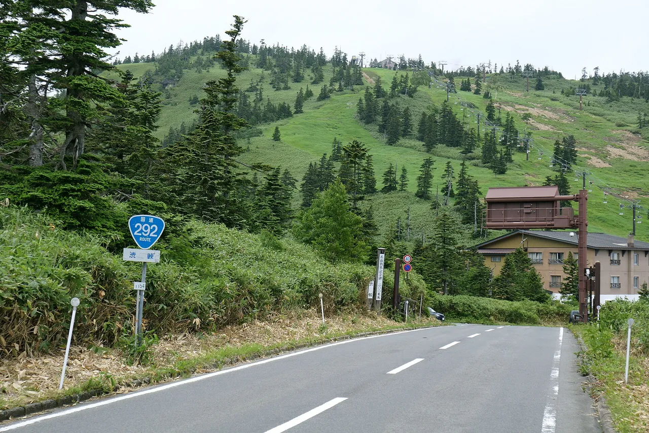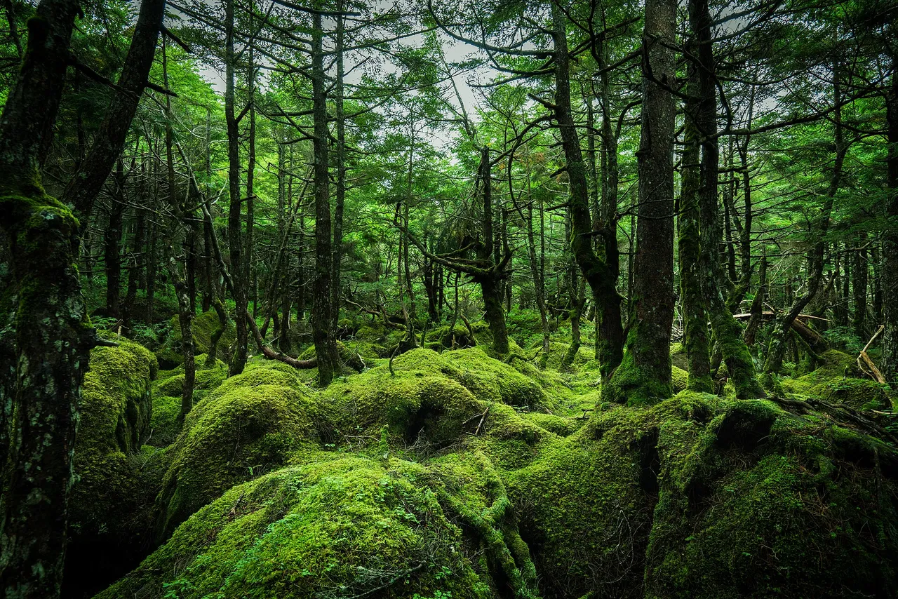
Marchen Kaido is the name given to National Route 299 as it crosses the Yatsugatake mountains from Chino to Yachiho Kogen in Sakuho, Nagano. Mugikusa Pass reaches 2,127 m, the second-highest pass on a Japanese national highway after Shibu Pass on the Shiga-Kusatsu Road. The sections around the pass are scheduled to close for winter from 11:00 on 19 November 2026 until 11:00 on 15 April 2027.
Marchen Kaido at a glance
| Item | Details |
|---|---|
| Road | National Route 299; the Chino–Sakuho section is known as Marchen Kaido |
| Route | From the Tateshina side of Chino, over Mugikusa Pass to Yachiho Kogen in Sakuho |
| Highest point | Mugikusa Pass, 2,127 m |
| Winter closure | Scheduled for 11:00 on 19 November 2026–11:00 on 15 April 2027. Sendagari–Mugikusa Pass on the Chino side: 6.1 km; Mugikusa Pass–Chiyosato Forestry Center in Koumi on the Saku side: 7.7 km. |
| Road authority | Nagano Prefecture: Suwa Construction Office on the Chino side, Saku Construction Office on the Saku side |
| Expressway approaches | Saku side: Yachiho-Kogen IC on the Chubu-Odan Expressway, 22 km and about 31 minutes to Mugikusa Pass. Chino side: Suwa IC on the Chuo Expressway, 15 km and about 30 minutes to Tateshina Chuo Kogen. |
Suggested route and map
- 1Yokoya Gorge
- 2Mugikusa Pass
- 3Shirakoma Pond
- 4Michi-no-eki Yachiho Kogen
1 → 2 → 3 → 4 (Yachiho Kogen IC)
The map could not be loaded. Use the junction-by-junction directions below.
This one-way drive starts at Yokoya Gorge on the Chino side, crosses Mugikusa Pass, stops at Shirakoma Pond and descends to Yachiho Kogen roadside station near Yachiho-Kogen IC.
| Order | Stop | Distance from Yokoya Gorge | How to visit |
|---|---|---|---|
| 1 | Yokoya Gorge, Yokoya Kannon viewpoint | — | Look down into the gorge from the parking area; the walking trails include steep slopes. |
| 2 | Mugikusa Pass | About 17 km | Mugikusa Hutte has a shop and dining room at the pass. |
| 3 | Shirakoma Pond | About 17 km | About 15 minutes on foot from the entrance car park, which has 200 car spaces; allow about 40 minutes to walk around the pond. |
| 4 | Yachiho Kogen roadside station | About 41 km | 155 car spaces; 200 m from Yachiho-Kogen IC |
Distances were calculated from map data. No official through-driving estimate is given for the whole Chino–Saku route; the published estimate from Yachiho-Kogen IC to Mugikusa Pass is about 31 minutes.
Stops and parking in route order
Look down into Yokoya Gorge from the viewpoint
Yokoya Gorge follows the upper Shibukawa River. Its walking trails connect Otome Falls, Kirifuri Falls and Otaki Falls. The Yokoya Kannon viewpoint car park has space for 20 cars and 6 large buses, with a deck overlooking the valley. Some trail sections are steep enough to feel like mountain paths, and they freeze in winter. The toilets at the Yokoya Kannon car park close during the winter road closure.
For a nearby detour, Mishaka Pond has a car park. It inspired Kaii Higashiyama's painting Green Echoes. Stay outside the embankment's restricted area. There are no convenience stores or vending machines immediately around the pond.
Views of the Alps from Hinatakoba
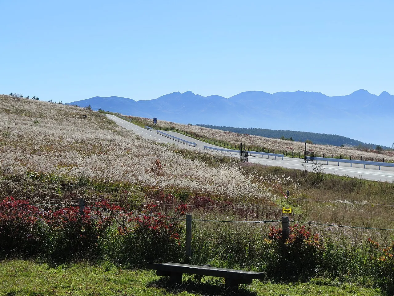
Hinatakoba is a roadside viewpoint above 1,900 m on Marchen Kaido, with covered benches and views towards the Southern and Northern Alps. It is one of Shinshu's 100 selected sunset viewpoints. The official approach estimate from Suwa IC is about 27 km and 45 minutes.
Take a break at Mugikusa Hutte
The red triangular roof of Mugikusa Hutte marks the mountain lodge at the pass. You can drive there and use its shop, dining room and cafe without staying overnight. Listed hours are 09:00–16:00, with Wednesdays closed and occasional additional closures. The lodge stands beside the largest grassland in northern Yatsugatake.
Shirakoma Pond and the autumn shuttle season
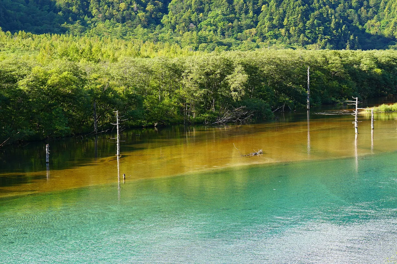
Shirakoma Pond sits within the old-growth forest of northern Yatsugatake, about 15 minutes' walk from its entrance car park on Route 299. The surrounding moss forest has been recognized as one of Japan's valuable moss forests, with around 500 moss species. Walking around the pond takes about 40 minutes.
The entrance car park accommodates 200 cars and 15 large vehicles, but autumn crowds can cause severe congestion around it. On designated busy days in the 2026 season, a free shuttle linked Yachiho Kogen Ski Area's car park with the pond entrance. Its final scheduled day was 25 October, so it is no longer an option for a November visit. The published outbound window was 08:30–11:30 and the return window 09:00–15:30. Future-season operation needs a new announcement; do not assume a shuttle will run whenever the main car park is full.
Stop at Yachiho Kogen roadside station before the expressway
Turn right after leaving Yachiho-Kogen IC and the roadside station is 200 m ahead. It has 155 car spaces, 15 motorcycle spaces, 9 large-vehicle spaces and 2 EV charging spaces. Regular listed hours are 09:00–18:00 for the produce market and 11:00–15:00 for the main dining area; the convenience store operates 24 hours. The operator's notice of shorter 09:00–15:00 hours on 28 October 2026 was a dated exception, not the regular schedule.
Open season and restrictions
The pass closes for winter from 19 November
The planned closure runs from 11:00 on 19 November 2026 until 11:00 on 15 April 2027. It covers 6.1 km from Sendagari to Mugikusa Pass on the Chino side and 7.7 km from the pass to Chiyosato Forestry Center in Koumi on the Saku side. A further 5.2 km from Yakoori to above the Yachiho Kogen holiday-home area in Sakuho closes on the same schedule. Snow conditions may change the dates. The previous winter closure ended at 11:00 on 16 April 2026.
Nagano's road rules require anti-skid measures when driving a car on snow or ice. Fit winter tyres early for a late-autumn visit and check conditions before climbing to the pass.
Overnight expressway closures on 2–6 November
On the Saku approach, both directions of the Chubu-Odan Expressway between Saku-Minami IC and Sakuho IC are scheduled to close nightly from 21:00 to 06:00 on the nights of 2–6 November 2026. Reserve nights are 9–10 November. The notice also schedules a separate closure from Saku-Minami IC towards Saku-Nakasato IC on the night of 9 November, with one reserve night between 10 and 13 November. That second closure affects only the direction towards Saku-Nakasato.
These works are scheduled overnight, so they do not close the daytime approach to Yachiho-Kogen IC under the announced plan. Check for changes if arriving late or returning before dawn.
Best seasons and crowds
| Season | What to expect |
|---|---|
| From mid-April | Reopening after the winter closure; in 2026 this was 16 April. |
| Summer | Walk through the moss forest; moss can be seen throughout the year. |
| Late September–early October | Autumn colour at Shirakoma Pond; the tourism office reported peak colour on 9 October 2026. |
| Mid–late October | Autumn colour in Yokoya Gorge on the Chino side, with Otaki Falls typically around mid-October. |
| Winter | Frozen waterfalls in Yokoya Gorge, while the road over the pass is closed. |
Autumn colour starts high around Shirakoma Pond and moves down towards the valleys on the Chino side. Early October is the usual target around the pass, followed by mid- to late October below. Pond parking can develop long queues on autumn weekends. Arrive early; when a seasonal shuttle is announced, use it on its published operating dates. The 2026 shuttle season ended on 25 October.
Getting there and fuel
From the Chino side, leave the Chuo Expressway at Suwa IC and take Route 299 towards Tateshina Chuo Kogen, 15 km and about 30 minutes away. From the Saku side, leave the Chubu-Odan Expressway at Yachiho-Kogen IC and join Route 299; Mugikusa Pass is 22 km and about 31 minutes away.
Fill up in a town near the interchange before starting over the pass. Yachiho Kogen roadside station has EV charging spaces.
Without a car: seasonal local buses
Alpico Kotsu's seasonal bus links Chino Station with Yokoya Gorge, Mugikusa Pass and Shirakoma Pond. Chikuma Bus serves Shirakoma Pond and Mugikusa Pass from Sakudaira Station. Both published 2026 schedules ended on 25 October; these services are not available for a November visit. Check the new seasonal timetable before planning a future trip without a car.
Frequently asked questions
When does Marchen Kaido close for winter?
The pass section is scheduled to close at 11:00 on 19 November 2026 and reopen at 11:00 on 15 April 2027. Weather and snow conditions can change the schedule.
How high is Mugikusa Pass?
It is 2,127 m. It is the second-highest pass on a Japanese national highway after Shibu Pass, 2,172 m, on the Shiga-Kusatsu Road.
Does Shirakoma Pond parking get busy?
Yes. Autumn crowds can cause queues around the car park. A free shuttle from Yachiho Kogen Ski Area operated on designated days through 25 October 2026, but that season has ended. Check for a new operating announcement before relying on it for another visit.
Is Shirakoma Pond close to the car park?
The walk from the entrance car park takes about 15 minutes. Allow about 40 minutes more to walk around the pond.
Is there a rest stop near the expressway?
Yachiho Kogen roadside station is 200 m from Yachiho-Kogen IC. Its convenience store and toilets are available 24 hours.
Related guides
Sources & verification
Last verified: 2026-11-01
Updates and corrections
- Complete English drive guide with verified winter closure, parking, seasonal buses and November overnight roadworks.
All sources (26)
- Nagano Prefecture, Suwa Construction Office (official page, in Japanese) · 2026-11-01
- Nagano Prefecture, Saku Construction Office (official page, in Japanese) · 2026-11-01
- Nagano Prefecture, Saku Construction Office (official page, in Japanese) · 2026-11-01
- Nagano Prefecture, Saku Construction Office (official page, in Japanese) · 2026-11-01
- Tateshina Chuo Kogen Tourism Association (official page, in Japanese) · 2026-11-01
- Tateshina Chuo Kogen Tourism Association (official page, in Japanese) · 2026-11-01
- Go NAGANO (official page, in Japanese) · 2026-11-01
- Go NAGANO (official page, in Japanese) · 2026-11-01
- Go NAGANO (official page, in Japanese) · 2026-11-01
- Mugikusa Hutte (official page, in Japanese) · 2026-11-01
- Mugikusa Hutte (official page, in Japanese) · 2026-11-01
- Chino Tourism (official page, in Japanese) · 2026-11-01
- Chino Tourism (official page, in Japanese) · 2026-11-01
- Chino Tourism (official page, in Japanese) · 2026-11-01
- Chino Tourism (official page, in Japanese) · 2026-11-01
- Chino Tourism (official page, in Japanese) · 2026-11-01
- Chino City (official page, in Japanese) · 2026-11-01
- Nagano Prefecture, Saku Regional Development Bureau (official page, in Japanese) · 2026-11-01
- Nagano Prefecture, Saku Regional Development Bureau (official page, in Japanese) · 2026-11-01
- Nagano Prefecture, Saku Regional Development Bureau (official page, in Japanese) · 2026-11-01
- Koumi Town (official page, in Japanese) · 2026-11-01
- Yachiho Kogen roadside station (official page, in Japanese) · 2026-11-01
- Ministry of Land, Infrastructure, Transport and Tourism, Kanto Regional Development Bureau (official page, in Japanese) · 2026-11-01
- Alpico Kotsu (official page, in Japanese) · 2026-11-01
- Tateshina Chuo Kogen Tourism Association (official page, in Japanese) · 2026-11-01
- OpenStreetMap (map positions and route; © OpenStreetMap contributors, ODbL; route calculated with OSRM) · 2026-10-24