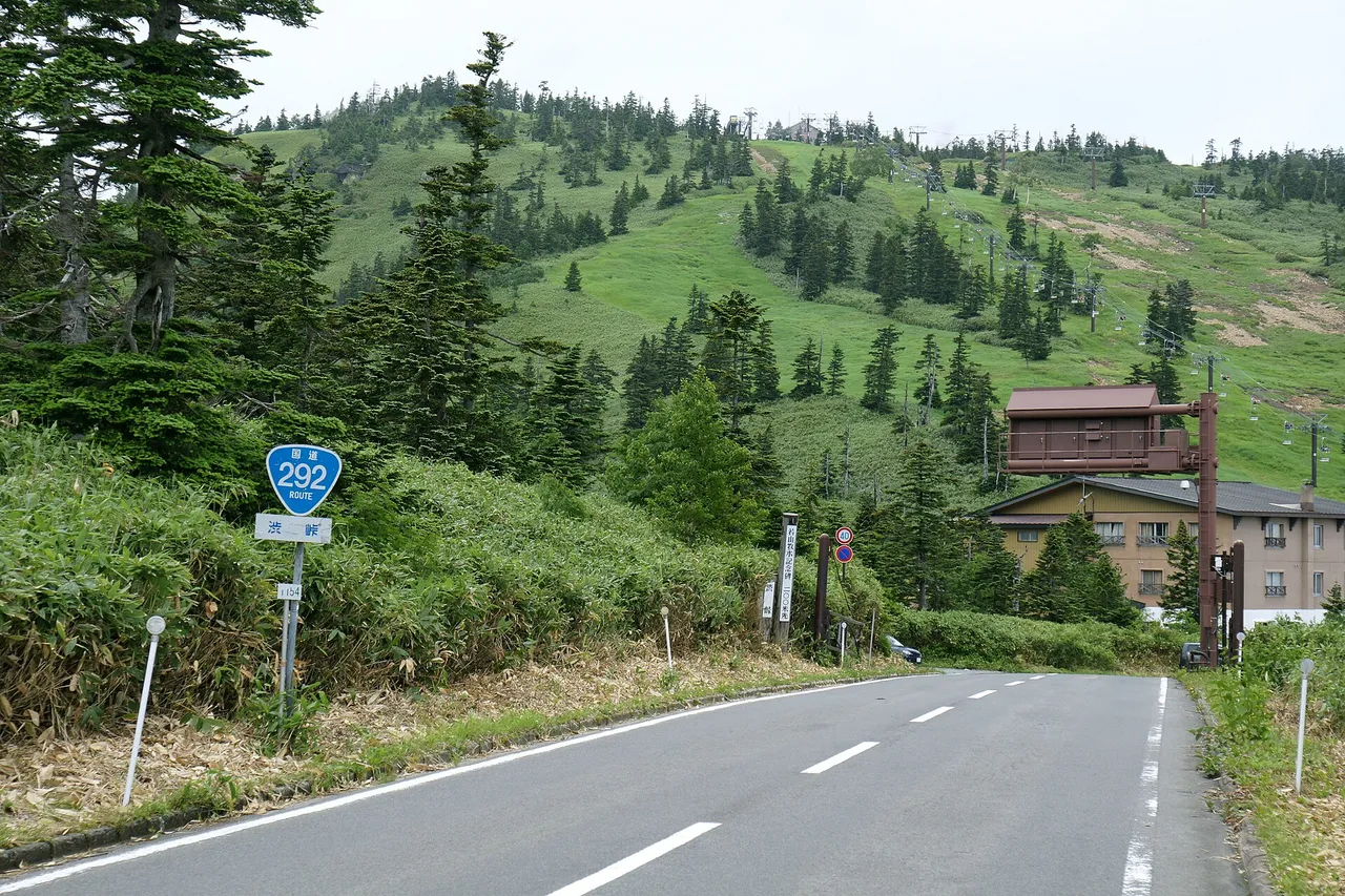
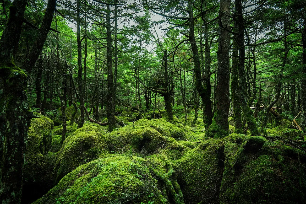
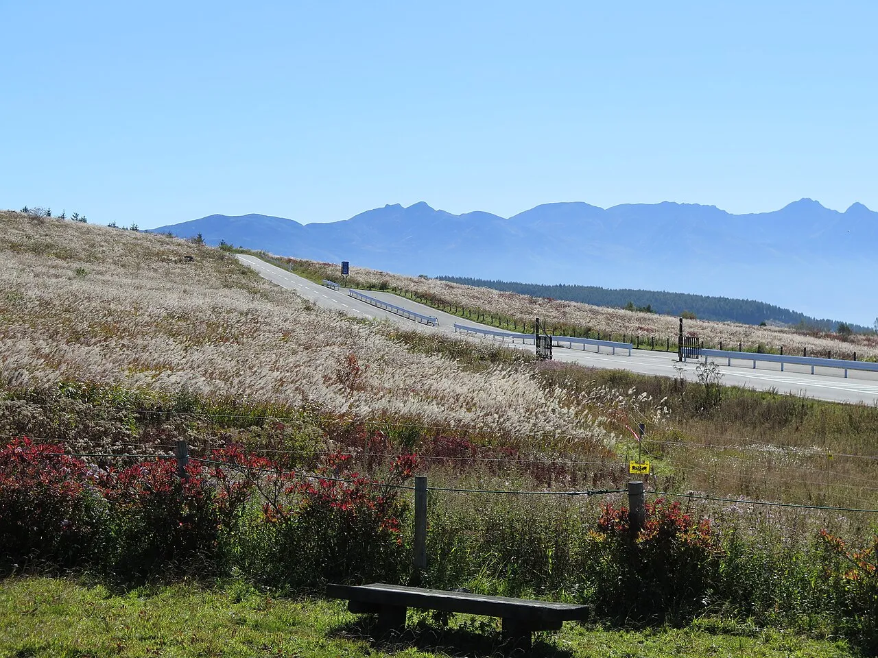
The Hakuba–Azumino area runs north to south along the eastern foothills of Japan's Northern Alps, covering Azumino, Matsukawa, Ikeda, Omachi, Hakuba and Otari in Nagano Prefecture. Wasabi fields and parks spread across Azumino in the south. Heading north on Route 148 takes you past the three Nishina lakes and into the mountain valleys of Hakuba and Otari.
This guide follows a day from Azumino Interchange through Azumino, Omachi and the lakes to Hakuba, with roads and places to stop listed below.
Map of Hakuba and Azumino
- Views and nature
- Roadside stations
- 1Michi-no-Eki Alps Azumino Horigane no Sato
- 2Alps Azumino National Government Park
- 3Daio Wasabi Farm
- 4Hotaka Shrine
- 5Michi-no-Eki Azumino Matsukawa
- 6Azumino Chihiro Park and Art Museum
- 7Mt. Takagari observatory
- 8Nishina Three Lakes
- 9Michi-no-Eki Hakuba
- 10Hakuba Ski Jumping Stadium
- 11Happo-ike (Happo Alpenline)
- 12Tsugaike Nature Park
- 13Michi-no-Eki Otari
- 14Michi-no-Eki Ikeda
- 15Michi-no-Eki Pokapoka Land Miasa
Line: 1 → 2 → 3 → 4 → 5 → 6 → 7 → 8 → 9 → 10
The map could not be loaded. Use the junction-by-junction directions below.
The line follows the full-day Azumino–Nishina lakes–Hakuba route below. Numbers mark the stops: green for scenery and nature, blue for roadside stations. Tap a marker to see its name.
Recommended drives
First visit: Azumino to Hakuba via the Nishina lakes
Start at Michi-no-Eki Alps Azumino Horigane no Sato, visit Alps Azumino National Government Park, then continue to Daio Wasabi Farm and Hotaka Shrine. Head north on Route 147 to Michi-no-Eki Azumino Matsukawa and Azumino Chihiro Park before climbing to Takagariyama Observatory in Omachi. Follow Route 148 past the three Nishina lakes, stopping at Michi-no-Eki Hakuba before reaching Hakuba Ski Jumping Stadium.
The route is about 77 km, with around two hours of driving. Distance and time are calculated from map data and exclude traffic and visits. Choose your longer stops to fit the day.
From Azumino Interchange, Daio Wasabi Farm is about ten minutes away and Alps Azumino National Government Park about 20 minutes.
Autumn colours and three layers of scenery
Takagariyama's usual autumn-colour season runs from mid-October to mid-November; late October to early November is a favourable period for cloud-sea views. The Nishina lakes usually have autumn colours from late October to early November.
When the first snow settles on Hakuba's three main peaks, conditions can bring together white summits, red and yellow mountain slopes, and green foothills. This three-layer autumn landscape depends on snow, foliage and visibility coinciding.
Into the Hakuba mountains on the Happo Alpen Line
Take the Happo Alpen Line to Happo-ike Sanso, then continue on foot towards Happo Pond. The adult return fare is ¥3,500, and the 2026 green season is scheduled through 3 November, subject to weather. Parking beside the gondola costs ¥1,000 per day. The operator also lists about 1,100 free spaces nearby, but this total includes winter-only lots; it is not the number available for an autumn visit.
Tsugaike Nature Park's 2026 season ended on 25 October.
Roads you can drive
| Road | What to expect | Length and cost | Hours and restrictions |
|---|---|---|---|
| Nagano Expressway, Azumino Interchange | Southern gateway to the area; 33 km and about 30 minutes from Okaya Junction | Tolled | Northbound Azumino–Omi lane restrictions are scheduled through 20 November 2026. The separate Azumino–Matsumoto scheduled phase ended on 31 October; check notices for any November contingency work |
| National Route 147 | Azumino via Matsukawa to Omachi | Free | About 20 minutes from Azumino IC to Matsukawa |
| National Route 148 | Omachi via the Nishina lakes, Hakuba and Otari towards Itoigawa in Niigata | Free | Sotazawa Tunnel in Otari: alternating traffic 08:30–17:00 through 25 December 2026, scheduled. Moriue–Shimorise is subject to closure at 40 mm hourly or 130 mm continuous rainfall |
| Northern Alps Panorama Road | From Azumino IC along the right bank of the Takase River towards Omachi | Free | Together with Route 147, about 30 km and 30 minutes from Azumino IC to Shinano-Omachi Station |
| Prefectural Nagano–Omachi Line, part of the Hakuba–Nagano Olympic Road | Nagano IC towards Omachi and Hakuba | Free; the former toll section became free on 16 February 2025 | Nagano IC to Shinano-Omachi Station: 46 km and about 1 hour 5 minutes |
| Azumino foothill road, Prefectural Shiojiri–Nabewari–Hotaka Line | Along Azumino's western foothills | Free | Check current road information |
| Prefectural Route 322, Hakubadake Line | Futamata to Sarukura, a trailhead for Mt Hakuba | 5.6 km; free | Winter closure scheduled from 27 November 2026 at 10:00. Before that, ordinary private cars are prohibited except vehicles dropping off or picking up at Sarukura; there is no parking along the section |
Driving on snow-covered or icy roads without suitable anti-slip equipment violates Nagano's traffic rules; the traffic penalty payment for an ordinary car is ¥6,000. Fit winter tyres for winter travel and carry chains when snow is forecast. The legal requirement depends on road conditions; winter tyres do not remove the need to obey separate chain controls.
Places to stop
Views and nature
Numbers match the map.
| No. | Place | Parking | What to know |
|---|---|---|---|
| 2 | Alps Azumino National Government Park, Horigane–Hotaka area | Central entrance about 700 spaces; Hotaka entrance about 350; Horigane entrance 40; free | Adults ¥450. November–February normally 09:30–16:00; illumination hours differ. Usually closed Mondays, or the next weekday after a Monday holiday, with Golden Week and summer exceptions. The Satoyama Culture Zone closes November–February |
| 3 | Daio Wasabi Farm | Not confirmed here | Free entry. March–November 08:00–17:00; December–February 09:00–16:00. Closed 31 December 2026 and 27 January 2027 under the published notice |
| 4 | Hotaka Shrine | North Shin'en car park available | Grounds open for worship at all hours |
| 6 | Azumino Chihiro Park and Museum | Museum parking: 150 spaces | Museum adults ¥1,200; free for visitors aged 18 or younger and high-school students. Normally 10:00–17:00; 09:00 opening during 25 April–6 May and 18 July–31 August 2026. Closed second/fourth Wednesdays, the following day if a holiday; open daily in Golden Week and August, with exhibition-change closures. Winter closure 16 December 2026–28 February 2027 |
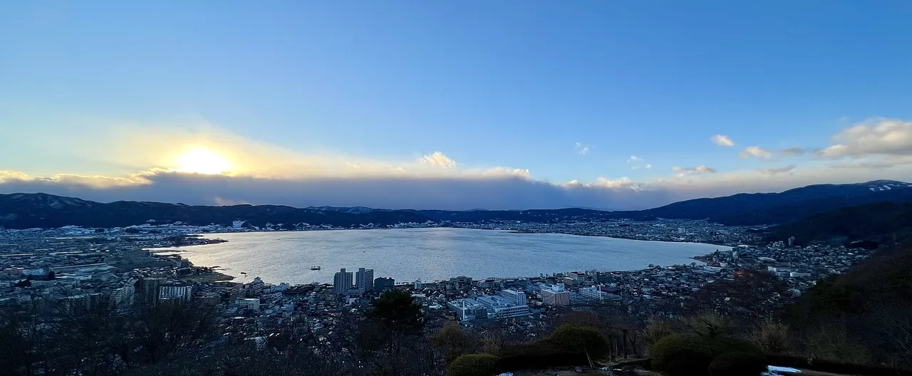
| 7 | Takagariyama Observatory | Not confirmed here | About 20 minutes by car from Shinano-Omachi Station. Autumn colours mid-October–mid-November; possible cloud-sea views late October–early November. Road closes in winter |
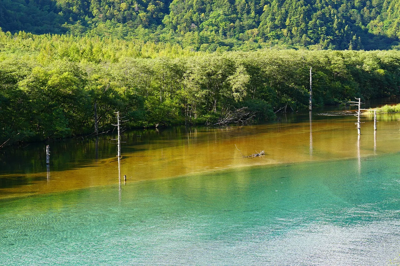
| 8 | Nishina lakes: Kizaki, Nakatsuna and Aoki | Not confirmed here | Usual autumn colours late October–early November |
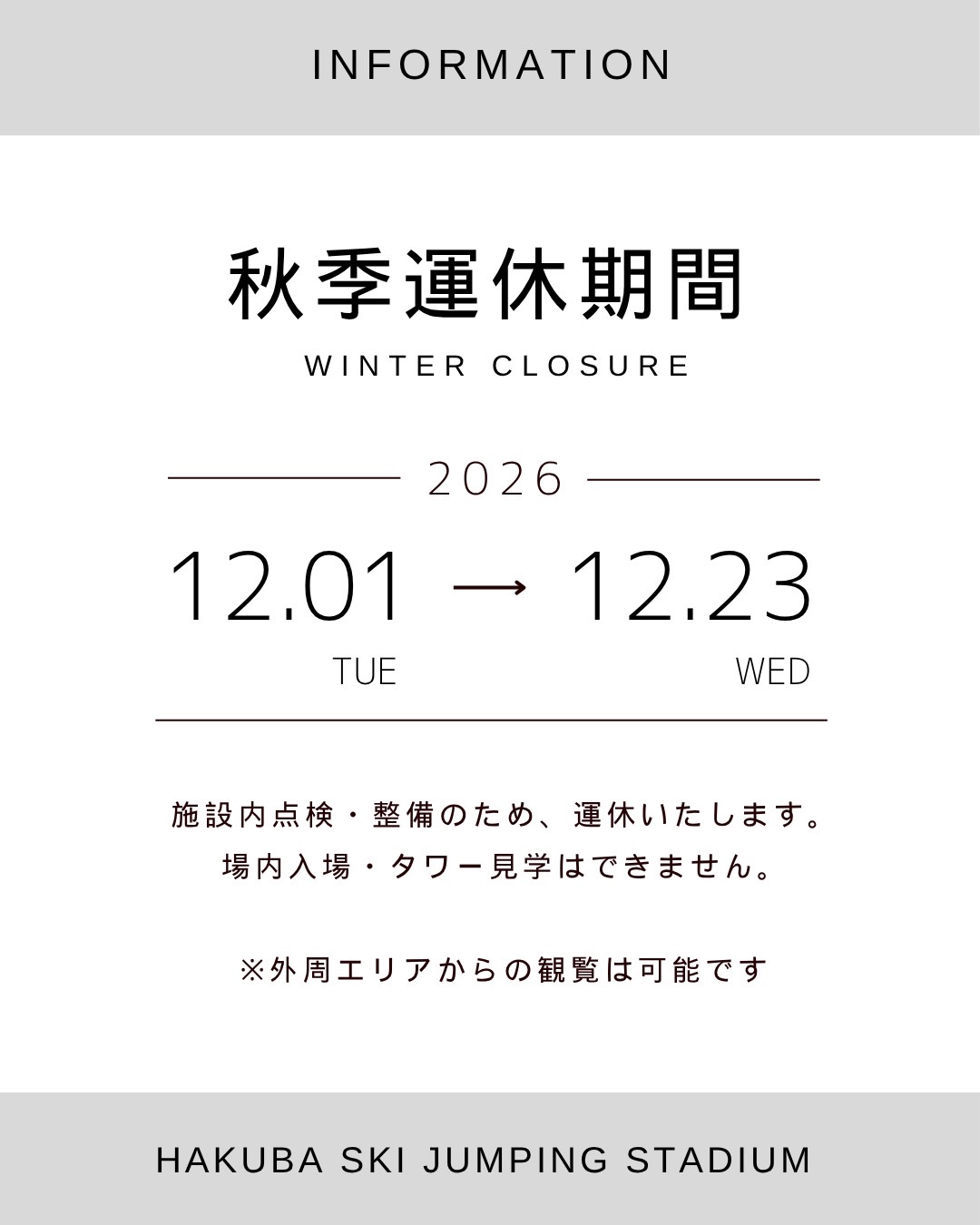
| 10 | Hakuba Ski Jumping Stadium | First car park 92 spaces; second 51 | Adult return lift ¥740; normally 08:30–16:30 through November. For the 29 October–1 November 2026 competition period, visitor hours were limited to 08:30–11:00, last ascent 10:30. Closed for maintenance 1–23 December; outside viewing remains possible |
| 11 | Happo Pond via Happo Alpen Line | Gondola-front parking ¥1,000/day; about 1,100 free spaces across nearby lots, including winter-only lots | Adult return ¥3,500. Green-season service scheduled through 3 November 2026, weather permitting; walking required beyond the upper lifts |
| 12 | Tsugaike Nature Park | Central car park: 300 spaces, ¥500/day during the green season | The 2026 nature-park season ended on 25 October |
Roadside stations
| No. | Roadside station | Parking | What to know |
|---|---|---|---|
| 1 | Michi-no-Eki Alps Azumino Horigane no Sato | 162 regular cars | EV charging available |
| 5 | Michi-no-Eki Azumino Matsukawa | 33 regular cars | Produce shop 09:00–18:00; toilets available at all hours; EV charging |
| 9 | Michi-no-Eki Hakuba | 33 regular cars; free, 24 hours | On Route 148. Shop 09:00–18:00; closed Tuesdays |
| 13 | Michi-no-Eki Otari | 43 regular cars | On Route 148. Hot spring 10:00–19:00 |
| 14 | Michi-no-Eki Ikeda | 80 regular cars | North of Azumino |
| 15 | Michi-no-Eki Pokapoka Land Miasa | 84 regular cars | In Omachi's Miasa district, with a hot spring |
Best seasons and crowds
An Omachi tourism report dated 21 October 2026 described peak colours at Takase and Nanakura dams and anticipated an earlier peak than in recent years. Treat this as a dated observation, not a statement of conditions on your visit.
| Season | Highlights and cautions |
|---|---|
| Mid-October–early November | Autumn colours at Takagariyama, the Nishina lakes and Happo-one; three-layer scenery if summit snow and lower foliage coincide |
| 3 November 2026 | Scheduled final day of the Happo Alpen Line's green season |
| From 26–27 November 2026 | Planned winter closures on mountain prefectural roads, including the Hakubadake Line and roads towards Kashimayari; dates may change with weather |
| Winter | Use winter tyres and check conditions. The Takagariyama road closes, and Azumino Chihiro Art Museum has a winter closure |
Roads and restrictions checked on 1 November 2026
- Northbound Nagano Expressway lane restrictions from Azumino to Omi are scheduled through 20 November. The Azumino–Matsumoto phase was scheduled to end at 06:00 on 31 October; any use of its 4–21 November contingency period will be announced separately.
- Route 148 at Sotazawa Tunnel in Otari has alternating traffic scheduled through 25 December, 08:30–17:00. Restrictions also affect the Shimorise/Nakatsuchi tunnel and Tateyama Bridge section through 7 December, around the clock. These are roadworks, not a blanket closure of Route 148.
- The Kurobishi forest road closed with the end of Kurobishi Line operations on 18 October. It is separate from the Happo Alpen Line, which is scheduled through 3 November.
- Ordinary private cars cannot enter the Oike forest road to Tsugaike Nature Park.
Getting there and fuel
| Starting point | Approximate drive |
|---|---|
| Tokyo via the Chuo Expressway | 182 km and about 2 hours 30 minutes to Okaya Junction, then 33 km and about 30 minutes to Azumino IC |
| Tokyo via the Kan-etsu and Joshin-etsu expressways | 203 km and about 2 hours 30 minutes to Nagano IC |
| Nagoya | 176 km and about 2 hours 15 minutes to Okaya Junction |
| Azumino IC | Daio Wasabi Farm: ten minutes; Alps Azumino National Government Park: 20 minutes; Shinano-Omachi Station: 30 minutes |
| Nagano IC | Via the Nagano–Omachi Line to Shinano-Omachi Station: 46 km and about 1 hour 5 minutes |
For Hakuba via the Chuo Expressway, leave at Azumino IC and follow the Northern Alps Panorama Road and Route 148. From the Kan-etsu approach, leave at Nagano IC and follow Route 19 and the Hakuba–Nagano Olympic Road.
Refuel in the built-up areas of Azumino or Omachi before heading to Hakuba and Otari. EV charging is available at Michi-no-Eki Horigane no Sato and Azumino Matsukawa.
If you don't have a car
Use the Nagano rental-car listings to find a pickup location. Before booking, check the driving-permit requirements and the equipment supplied for winter driving.
Frequently asked questions
Where should I drive with one day in Hakuba and Azumino?
From Azumino IC, visit Alps Azumino National Government Park, Daio Wasabi Farm and Hotaka Shrine, then head north on Routes 147 and 148 via Takagariyama and the Nishina lakes to Hakuba. The mapped route is about 77 km, with roughly two hours of driving before stops and congestion.
Which expressway should I use for Hakuba?
From the Chuo Expressway, use Azumino IC on the Nagano Expressway. From the Kan-etsu direction, use Nagano IC on the Joshin-etsu Expressway. The former toll section of the Hakuba–Nagano Olympic Road has been free since 16 February 2025.
Until when can I use the lifts towards Happo Pond?
The Happo Alpen Line's 2026 green-season service is scheduled through 3 November, subject to weather. The pond requires a walk beyond the upper lifts.
Can I drive here in winter?
Route 148 is not included in the cited seasonal mountain-road closure list, but snow, ice and temporary restrictions can still affect it. Use winter tyres and check current road information. Mountain prefectural roads, including the Hakubadake Line and roads towards Kashimayari, have winter closures scheduled from 26–27 November 2026, weather permitting.
Where should I refuel before Hakuba?
Refuel in Azumino or Omachi before continuing north. This is advance-planning advice, not a claim that Hakuba has no filling stations.
Nearby areas and guides
Sources & verification
Last verified: 2026-11-01
- Omachi City Tourism Association (official page, in Japanese) · 2026-10-26
- Daio Wasabi Farm (official page, in Japanese) · 2026-11-01
- Hakuba Happo-one, Happo Alpen Line (official page, in Japanese) · 2026-10-26
- Hakuba Happo-one, Happo Alpen Line (official page, in Japanese) · 2026-10-26
- NEXCO Central Japan (official page, in Japanese) · 2026-11-01
- Nagano Prefecture (official page, in Japanese) · 2026-10-26
- Tateyama Kurobe Alpine Route (official page, in Japanese) · 2026-10-26
- Matsukawa Village (official page, in Japanese) · 2026-10-26
- Nagano Prefecture (official page, in Japanese) · 2026-10-26
- Nagano Prefecture (official page, in Japanese) · 2026-10-26
- Nagano Prefecture (official page, in Japanese) · 2026-11-01
- Nagano Prefecture (official page, in Japanese) · 2026-11-01
- Otari Village (official page, in Japanese) · 2026-11-01
- Hakuba Happo-one, Happo Alpen Line (official page, in Japanese) · 2026-10-26
- Nagano Prefecture (official page, in Japanese) · 2026-10-26
- Nagano Prefecture (official page, in Japanese) · 2026-10-26
- Nagano Prefecture (official page, in Japanese) · 2026-10-26
- Nagano Prefecture (official page, in Japanese) · 2026-10-26
- Nagano Prefecture (official page, in Japanese) · 2026-11-01
- Chihiro Art Museum Azumino (official page, in Japanese) · 2026-11-01
- Chihiro Art Museum Azumino (official page, in Japanese) · 2026-10-26
- Daio Wasabi Farm (official page, in Japanese) · 2026-11-01
- Hotaka Shrine (official page, in Japanese) · 2026-10-26
- Hotaka Shrine (official page, in Japanese) · 2026-10-26
- Hotaka Shrine (official page, in Japanese) · 2026-10-26
- Alps Azumino National Government Park (official page, in Japanese) · 2026-10-26
- Alps Azumino National Government Park (official page, in Japanese) · 2026-11-01
- Omachi City Tourism Association (official page, in Japanese) · 2026-10-26
- Alps Azumino National Government Park (official page, in Japanese) · 2026-10-26
- Alps Azumino National Government Park (official page, in Japanese) · 2026-11-01
- Omachi City Tourism Association (official page, in Japanese) · 2026-10-27
- Omachi City Tourism Association (official page, in Japanese) · 2026-10-26
- Omachi City Tourism Association (official page, in Japanese) · 2026-10-26
- Omachi City Tourism Association (official page, in Japanese) · 2026-10-26
- Omachi City Tourism Association (official page, in Japanese) · 2026-10-26
- Omachi City Tourism Association (official page, in Japanese) · 2026-10-26
- Omachi City Tourism Association (official page, in Japanese) · 2026-10-26
- Omachi City (official page, in Japanese) · 2026-10-26
- Hakuba Happo-one, Happo Alpen Line (official page, in Japanese) · 2026-10-26
- Hakuba Happo-one, Happo Alpen Line (official page, in Japanese) · 2026-11-01
- Hakuba Happo-one, Happo Alpen Line (official page, in Japanese) · 2026-10-27
- Hakuba Happo-one, Happo Alpen Line (official page, in Japanese) · 2026-11-01
- Hakuba Happo-one, Happo Alpen Line (official page, in Japanese) · 2026-11-01
- Hakuba Happo-one, Happo Alpen Line (official page, in Japanese) · 2026-10-26
- Hakuba Happo-one, Happo Alpen Line (official page, in Japanese) · 2026-11-01
- Hakuba Village (official page, in Japanese) · 2026-10-26
- Hakuba Ski Club (official page, in Japanese) · 2026-11-01
- Hakuba Ski Club (official page, in Japanese) · 2026-11-01
- Hakuba Ski Club (official page, in Japanese) · 2026-11-01
- Hakuba Tsugaike Mountain Resort (official page, in Japanese) · 2026-10-26
- Otari Tourism Federation (official page, in Japanese) · 2026-10-26
- Hakuba Tsugaike Mountain Resort (official page, in Japanese) · 2026-11-01
- Hakuba Tsugaike Mountain Resort (official page, in Japanese) · 2026-10-26
- Otari Tourism Federation (official page, in Japanese) · 2026-10-26
- Otari Village (official page, in Japanese) · 2026-10-26
- Kanto Michi-no-Eki Association (official page, in Japanese) · 2026-10-26
- Michi-no-Eki Horigane no Sato (official page, in Japanese) · 2026-10-26
- Kanto Michi-no-Eki Association (official page, in Japanese) · 2026-10-26
- Michi-no-Eki Azumino Matsukawa (official page, in Japanese) · 2026-10-26
- Kanto Michi-no-Eki Association (official page, in Japanese) · 2026-10-26
- Kanto Michi-no-Eki Association (official page, in Japanese) · 2026-10-26
- Kanto Michi-no-Eki Association (official page, in Japanese) · 2026-10-26
- Michi-no-Eki Hakuba (official page, in Japanese) · 2026-10-26
- Kanto Michi-no-Eki Association (official page, in Japanese) · 2026-10-26
- Michi-no-Eki Otari (official page, in Japanese) · 2026-10-26
- Nagano Prefecture (official page, in Japanese) · 2026-10-26
- Kanto Michi-no-Eki Association (official page, in Japanese) · 2026-10-26
- Nagano Prefecture (official page, in Japanese) · 2026-11-01
- Nagano Prefecture (official page, in Japanese) · 2026-11-01
- Azumino Tourism Association (official page, in Japanese) · 2026-10-26
- Omachi City Tourism Association (official page, in Japanese) · 2026-10-26
- National Astronomical Observatory of Japan (official page, in Japanese) · 2026-10-26
- National Astronomical Observatory of Japan (official page, in Japanese) · 2026-10-26
- National Astronomical Observatory of Japan (official page, in Japanese) · 2026-10-26
- Japan Meteorological Agency (official page, in Japanese) · 2026-10-26
- Japan Meteorological Agency (official page, in Japanese) · 2026-10-26
- OpenStreetMap (map positions and route; © OpenStreetMap contributors, ODbL; route calculated with OSRM) · 2026-10-26
- NEXCO East Japan (official page, in Japanese) · 2026-11-01
- Chihiro Art Museum Azumino: visitor information (English) · 2026-11-01