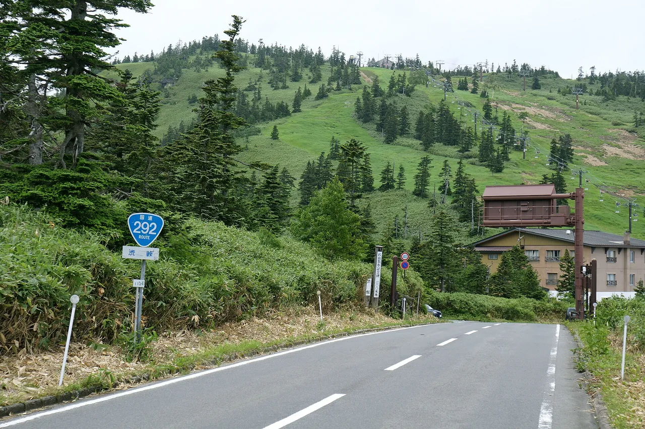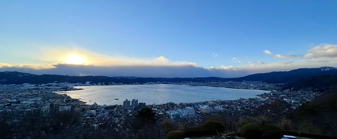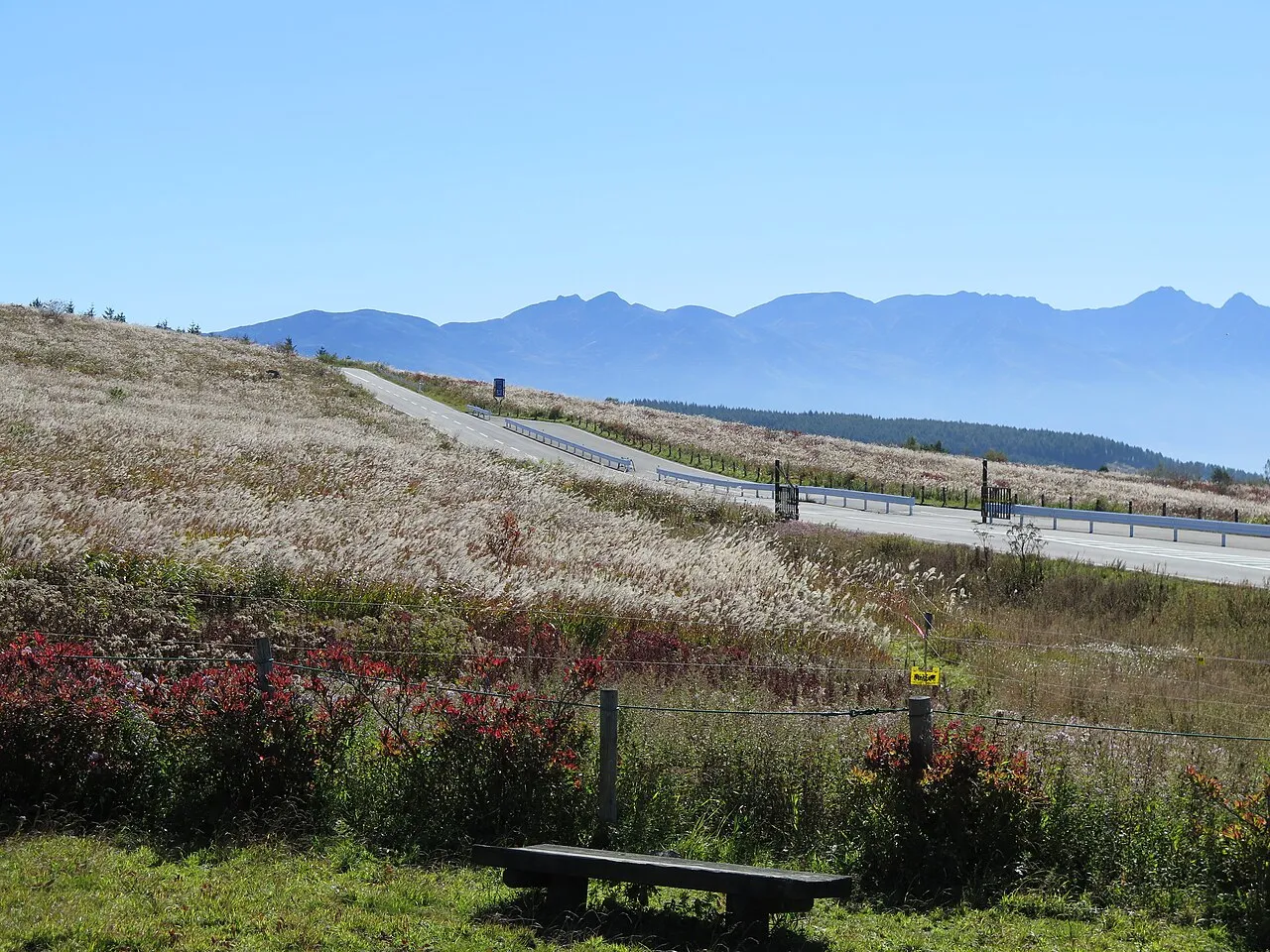
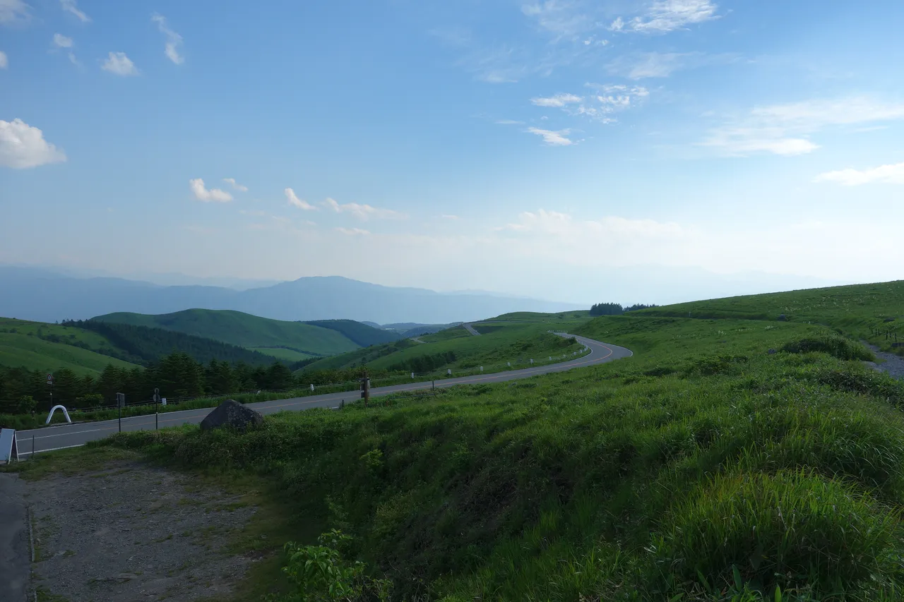
The Venus Line is a free, 75.2 km mountain road linking central Chino with the Utsukushigahara Highlands in Nagano Prefecture. It climbs through Tateshina, Lake Shirakaba, Kurumayama and Kirigamine before reaching Utsukushigahara.
Venus Line at a glance
| Item | Details |
|---|---|
| Route | Central Chino, starting at Gozaishi-jinja Junction, to the Utsukushigahara Highlands |
| Length | 75.2 km |
| Road toll | Free; paved prefectural roads |
| Elevation | About 1,400 m on average, rising to around 2,000 m at Utsukushigahara |
| Non-stop driving time | About 1 hour 30 minutes |
| Expressway access | About 10 minutes from Suwa IC to the Chino starting point. The Utsukushigahara end is normally about 70 minutes from Tobu-Yunomaru IC or Matsumoto IC; current approach-road closures affect access |
| Winter closure, 2026–27 | Yashima Highland parking → Wada Pass → Utsukushigahara plateau: scheduled from 11:00 on 18 November 2026 to 11:00 on 20 April 2027 |
| Road authority | Nagano Prefecture; winter restrictions are published by the Suwa and Ueda construction offices |
| Main stops | Lake Tateshina, Lake Shirakaba, Kurumayama, Kurumayama-kata, Yashimagahara Wetland, Kirigamine and Utsukushigahara |
The approach roads between the Utsukushigahara end and the expressways have steep gradients and repeated bends. The normal access times above do not describe a route through a current closure.
Suggested day drive and map
- 1Lake Tateshina
- 2Lake Shirakaba
- 3Mt Kurumayama
- 4Kurumayama-kata
- 5Yashimagahara Marsh
- 6Kirigamine (Kowashimizu)
- 7Utsukushigahara (optional)
Chino → 1 → 2 → 3 → 4 → 5/6 → 7 (Utsukushigahara). The orange line is the Venus Line
The map could not be loaded. Use the junction-by-junction directions below.
This day trip climbs from the Chino side, with the stops listed in visiting order. Driving the full road without stopping takes about 1 hour 30 minutes, but walks and sightseeing can easily fill a day. To avoid retracing the whole route, descend from Kirigamine towards Suwa on Prefectural Route 40.
| Map number | Stop | Time guide | Decide on the day |
|---|---|---|---|
| 1 | Lake Tateshina roadside station | — | Rest and toilet stop |
| 2 | Lake Shirakaba | About 20 km / 30 minutes from Suwa IC | How far to walk beside the lake |
| 3 | Kurumayama scenic lifts | About 25 minutes each way; allow roughly 1 hour for the return visit | Whether wind or thunderstorms have stopped the lifts |
| 4 | Kurumayama-kata | — | Use another car park if full |
| 5 | Yashimagahara Wetland | About 4 km / 1½–2 hours for the loop | Walk the full circuit or only part |
| 6 | Kirigamine, Kowashimizu | About 15 minutes on foot from the car park to the Mushoto bell tower | The nature centre closes at 16:00 |
| 7 | Utsukushigahara, optional extension | The open-air museum opens 9:00–17:00 in its 2026 season | Add it only when there is enough daylight |
These figures exclude traffic, parking queues and meals. Driving times between stops vary considerably with congestion.
“Venus Line” is the scenic route's common name; the official road names change along it. Around Lake Tateshina's roadside station it is the Chino Teishajo–Yashigamine Koen Line; from Yashima to Wada Pass it is the Kirigamine–Higashimochiya Line; and from Wada Pass towards Utsukushigahara it is the Utsukushigahara Koen–Higashimochiya Line. Restriction notices use these road names and individual sections, so look for them when checking your route.
The road gains height through successive bends. Allow time to park and walk in the highlands instead of treating the full length as a single uninterrupted drive.
Motorcycles are common here. Slow before bends and avoid hurried overtaking. Enjoy the scenery after parking in a proper car park; do not stop on the shoulder for photographs or use a phone while driving.
Stops and parking, in route order
Lake Tateshina and Lake Shirakaba: breaks and lakeside walks
Chino's Venus Line Tateshinako roadside station stands beside Lake Tateshina. It has 108 parking spaces, toilets and an indoor viewing/rest area. A path circles the lake, which lies at an elevation of 1,250 m. Refrain from overnight stays in the car park and other public spaces.
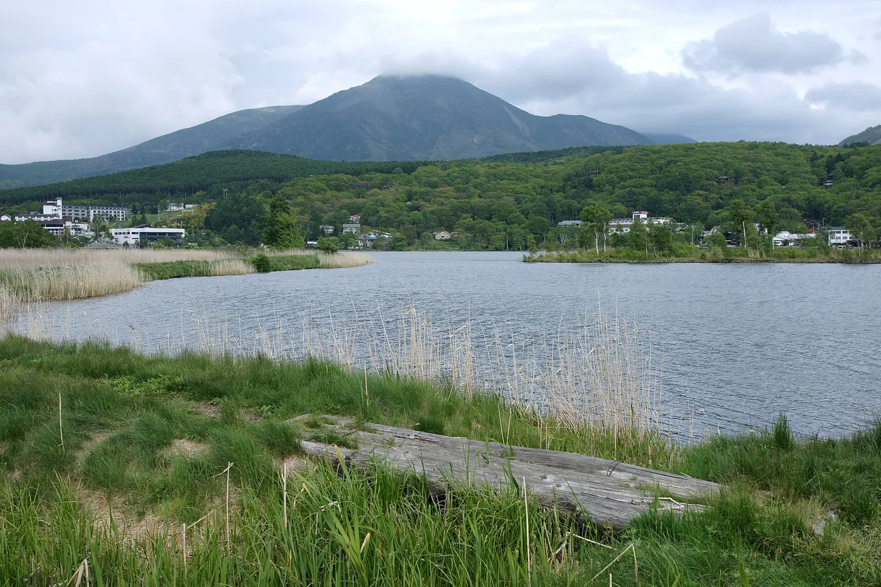
Lake Shirakaba has a lakeside walking path around its approximately 4 km perimeter. It is about 20 km, or 30 minutes, from Suwa IC. Boats, canoes, an amusement park and museums are clustered nearby. The lake surface is at 1,416 m. The Shirakabako Tourist Centre, which rents boats, has parking; check the signs for the conditions of use whenever you park at a facility.
Kurumayama scenic lifts
At Kurumayama Kogen SKYPARK RESORT, two connecting lifts reach the 1,925 m summit in about 25 minutes each way. Allow roughly an hour for the return trip, including the transfer and a short walk at the top. The resort is about 40 minutes by taxi from Chino Station.
The 2026 green-season lifts operate until 3 November, with additional service on 21–23 November. They start at 9:00, or 8:30 in the designated peak periods. The last uphill departure is 16:00 and the last downhill departure is 16:30. A summit return ticket costs ¥2,500 for adults of junior-high-school age and above, and ¥1,700 for primary-school children. Strong winds or thunderstorms can suspend service.
Parking is free during the summer season, with space for about 1,300 vehicles. Standard EV and plug-in hybrid charging is available; check the current charging terms and fees with the resort before relying on it.
Kurumayama-kata gets busy in daylily season
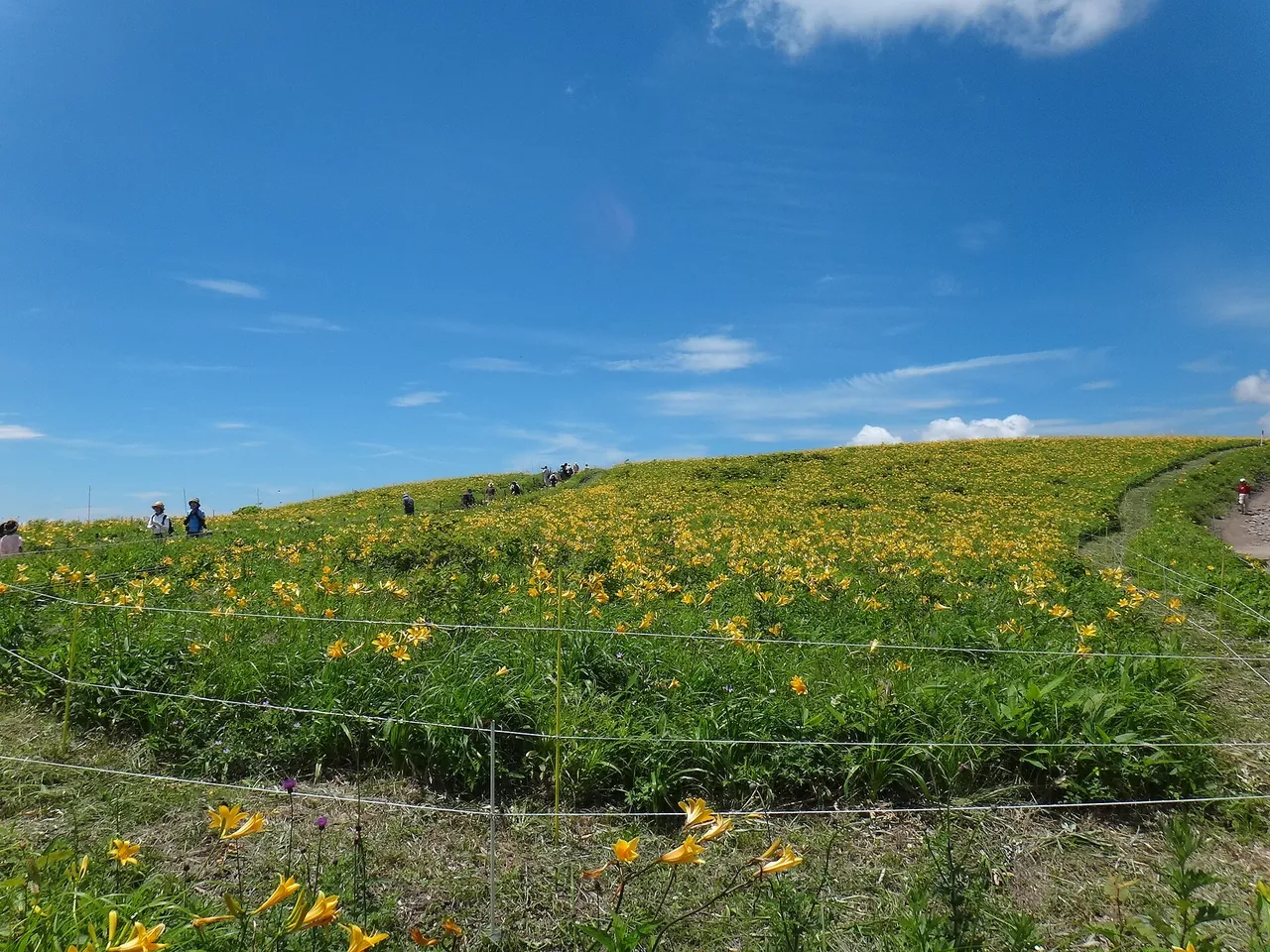
Kurumayama-kata is a place to see colonies of nikko-kisuge daylilies, usually at their best in mid-July. Its car park holds about 140 vehicles. Fine weekends and holidays in July and August can be very busy, especially at Kurumayama-kata and Yashima Wetland. Use another car park or shift your visit to a weekday or later in the day. The most serious queues occur only a few times a year, but allow extra time on summer weekends.
View the Kurumayama-kata flowers from outside the electric fence, which remains live during the day. Stay outside the roped areas and keep tripod legs off the grass. There are also daylily colonies at Kirigamine Fujimidai, where visitors can enter the designated viewing area inside the protective fence.
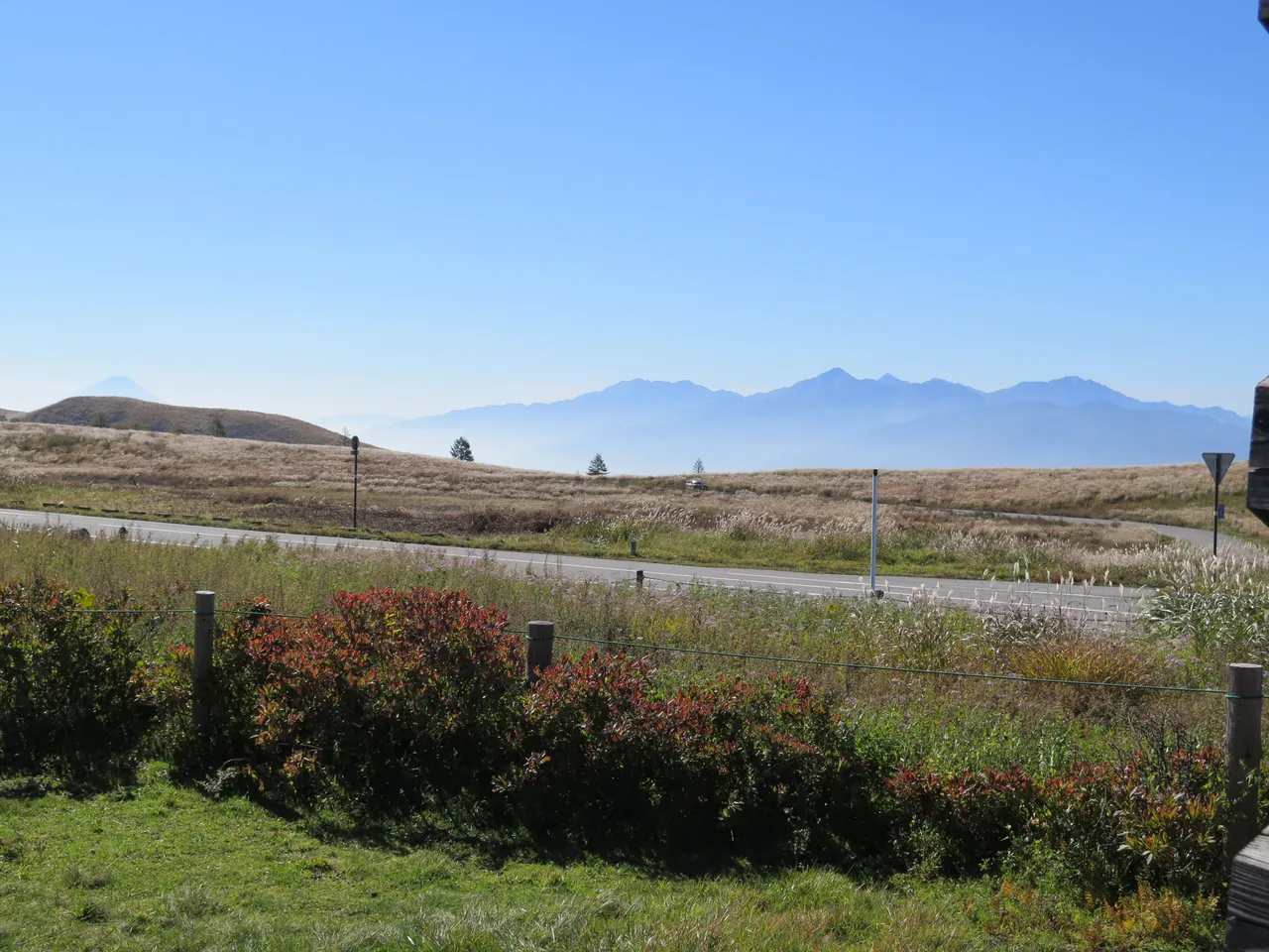
Kirigamine Fujimidai has views of Mount Fuji, the Japanese Alps and the Yatsugatake range, along with parking and a roadside food stop. It is another option when Kurumayama-kata is full.
Allow time for the Yashimagahara Wetland loop
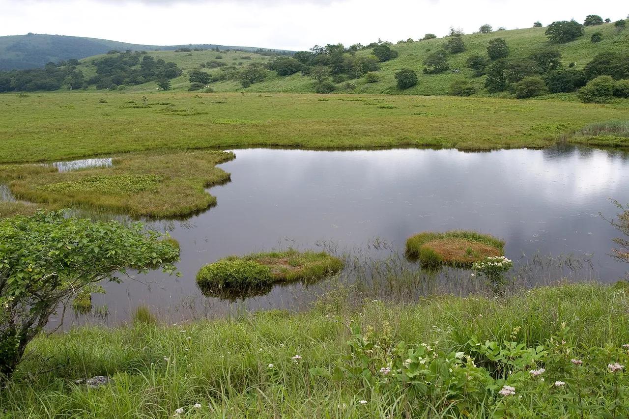
Yashimagahara Wetland, at an elevation of 1,630 m, is a designated National Natural Monument. Its circular trail is about 4 km long and takes roughly 1½–2 hours.
Yashima Visitor Centre Azamikan at the entrance opens from 25 April to 3 November in 2026, from 9:30 to 16:30. Admission is free. The wetland car park has about 70 spaces and does not take reservations. Follow attendants' instructions when they are present.
Kirigamine, Kowashimizu
“Kirigamine Interchange” at Kowashimizu is the name of the road junction for central Suwa, Kurumayama-kata and Yashima; it is not an expressway interchange. Nearby parking includes Kirigamine Interchange, with about 100 spaces, the Kirigamine No. 1 and No. 2 car parks, with about 300 in total, and parking north of the nature centre. These car parks give priority to people using nearby facilities, so avoid occupying a space for an extended period.
Nagano Prefecture's Kirigamine Nature Conservation Centre opens from 15 April to 15 November, 9:00–16:00. It closes on Wednesdays, or the following day when Wednesday is a public holiday, but opens daily in July and August. Admission is free. Staff can advise on the weather, flowers and walking routes. The Mushoto bell tower is about a 15-minute walk from Kirigamine Interchange parking.
Extending the drive to Utsukushigahara
Beyond Yashima, the road crosses Wada Pass and continues to Utsukushigahara. Beside the Utsukushigahara Open-Air Museum is the Utsukushigahara roadside station, at roughly 2,000 m and known as Japan's highest roadside station. You cannot drive to the Utsukushi-no-to tower or Ogato summit: park near the museum and continue on foot. The tower is about 40 minutes away on foot.
For the return, retrace the road or descend towards Takeshi in Ueda. The Takeshi approach has steep slopes and bends. The separate section from Takeshi Pass towards National Route 254 is closed because of rockfall. The Yomogikoba forest road towards Sanjiro in Matsumoto has been closed since 19 October 2026 and is scheduled to remain closed until 11:00 on 20 April 2027, covering construction and the winter closure period.
The open-air museum's 2026 season runs from 25 April to 3 November, 9:00–17:00, with last admission at 16:30. Adult admission is ¥1,000. Payment is by cash or supported QR payment only; credit cards are not accepted. The Utsukushigahara plateau car park at the roadside station has 800 spaces and is free.
A day trip from Chino all the way to Utsukushigahara covers almost the entire Venus Line. Drop either the Kurumayama lifts or the full Yashima loop to make room. If you rent a car and continue towards Ueda to return it at a different branch, confirm one-way availability and the fee when booking.
Open seasons and restrictions
Winter closures and equipment
For winter 2026–27, the Kirigamine–Higashimochiya Line between Yashima Highland parking and Wada Pass is scheduled to close from 11:00 on 18 November 2026 to 11:00 on 20 April 2027. The Utsukushigahara Koen–Higashimochiya Line beyond Wada Pass towards the plateau also closes for this period. Snow and weather conditions can change the dates.
Kirigamine remains normally accessible by road in winter. Seasonal closures affect the Utsukushigahara direction beyond Yashimagahara Wetland and the road from Ohira in Shimosuwa to Yashima Wetland parking. Other approaches normally remain open, subject to current conditions. Snow or ice requires winter tyres or another suitable anti-skid measure, and snow can reduce parking capacity. Freezing or snowfall can occur even before the scheduled closures begin.
Nagano's road rules require anti-skid measures such as tyre chains or tyres designed to prevent slipping when driving a car on snow or ice. Chains must be fitted to both rear wheels, or both front wheels on a front-wheel-drive vehicle; anti-skid tyres must be fitted to all wheels. If renting in winter, confirm winter tyres when booking. Consider changing the date if you are not confident driving on snow.
Roadworks between Wada Pass and Utsukushigahara
On Prefectural Route 460, the Utsukushigahara Koen–Higashimochiya Line at Wada in Nagawa, roadworks bring alternating one-way traffic from 8:30 to 17:00, excluding Sundays and public holidays. The published period runs from 7 September 2026 until the winter closure starts. Allow extra time for signals or traffic staff if you continue to Utsukushigahara.
November facility closures
In 2026, Azamikan and the Utsukushigahara Open-Air Museum operate through 3 November. Kurumayama's green-season lifts also run through 3 November, with extra service on 21–23 November. Kirigamine Nature Conservation Centre remains open through 15 November.
Fog and rain
Fog occurs throughout the year at Kirigamine and is said to have given the area its name. Temperatures are roughly 10°C lower than central Tokyo at Otemachi and about 6°C lower than Suwa. It can be raining on the highlands even when the foothills are sunny.
Reduce viewpoint stops when visibility is poor. Use your lights and leave more space from the car ahead. If the lifts are suspended, skip Kurumayama and consider the displays at Kirigamine Nature Conservation Centre or Azamikan during their opening seasons.
Seasons and traffic
July and August are the busiest months; June or September suits a quieter drive. Autumn colour begins at the higher Utsukushigahara end, usually peaking in early to mid-October. The mid-July holiday weekend, when daylilies are often at their best, can bring queues for the car parks.
During the July three-day weekends in 2022 and 2023, particularly the second day, roads around Kurumayama-kata became congested. On busy dates, use another car park or visit early in the morning or after 15:00.
Getting there and fuel
Gozaishi-jinja Junction, the Chino-side starting point, is about 10 minutes by car from Suwa IC on the Chuo Expressway. From Ueda, the approach via Takeshi leads towards the open-air museum, subject to the restrictions described above. The Matsumoto approach via Sanjiro and Tobira Pass is closed from 19 October 2026 through the end of the winter closure period. Route 40 climbing from Motomachi Junction on the Suwa side is narrow; larger vehicles should use Route 152 via Lake Shirakaba.
Fuel
Idemitsu Tateshina SS and Venus Tateshina SS are on the Venus Line in Yonezawa, Chino, below the highlands. Check opening hours before your trip. Do not plan on finding fuel at the top: check the fuel gauge before climbing. Kurumayama Kogen has standard EV and plug-in hybrid charging in its car park; confirm current terms and fees before arrival.
Renting a car at Chino Station
The following branches are on the west side of Chino Station. Regular hours were checked on 1 November 2026; some branches change hours or close over New Year.
- Toyota Rent a Car, Chino Ekimae: a two-minute walk from the west exit, normally 8:00–20:00 with no regular closing days. One-way rentals within and beyond Nagano are available, subject to vehicle restrictions. Branch information
- Nippon Rent-A-Car, Chino Station West Exit: opposite the west exit, normally 8:00–19:00. Branch information
- JR Rent-A-Car, Chino Station: in the west-exit square, 8:00–19:00. Branch information
Work backwards from your agreed return time to decide when to leave Kirigamine. The guide time between Suwa IC and Kirigamine Nature Conservation Centre is 18 km / about 40 minutes via Route 20 and Route 40. As a planning example, to return at 18:30 to a branch closing at 19:00, allow 40 minutes for the descent, 30 minutes for town driving and fuel, and another 30 minutes for delays. That means leaving Kirigamine at about 16:50. Fit the Yashima walk and Kurumayama lifts around this departure time. Contact the branch before the agreed return time if you expect to be late.
If your contract requires a full-tank return, refuel on the way back to Chino Station or nearby. Ask when collecting the car whether you need to show the fuel receipt.
Frequently asked questions
How long does the whole road take?
About 1 hour 30 minutes without stopping. Walks and sightseeing can fill a full day. The suggested-route table above sets out the stop order and available time guides.
Is there a road toll?
No. The Kurumayama scenic lifts cost extra, at ¥2,500 for an adult return ticket, as does the open-air museum, at ¥1,000 for adults. Parking is free at Kurumayama Kogen during the summer season and at the Utsukushigahara plateau car park.
Can I drive it in winter?
The section from Yashima Highland parking via Wada Pass to the Utsukushigahara plateau is scheduled to close from 11:00 on 18 November 2026 to 11:00 on 20 April 2027. Chino, Lake Shirakaba and Kirigamine normally remain connected in winter, but you need suitable equipment and must check current road conditions.
Can I use ordinary summer tyres?
On snow or ice, Nagano requires anti-skid measures such as chains or winter tyres. Snow and ice can occur before the scheduled seasonal closure begins. For a visit from late autumn through spring, arrange winter tyres and check conditions before driving. Confirm the equipment when booking a rental.
Where can I find closures and live cameras?
Nagano Prefecture's Suwa Construction Office road-information page links to closure notices and live cameras. The Ueda Construction Office publishes winter restrictions for the Wada Pass–Utsukushigahara side. The current-information links near the top of this page provide these sources.
When is a good time to visit?
Renge-tsutsuji azaleas usually flower from early June to mid-July, nikko-kisuge daylilies from early to late July, and autumn leaves colour in early to mid-October. July and August are busy; June or September is usually a calmer choice.
Where can I rent a car?
Toyota Rent a Car, Nippon Rent-A-Car and JR Rent-A-Car have branches on Chino Station's west side. See the rental section above for regular hours and an example of planning the descent around your return time.
Related guides
Sources & verification
Last verified: 2026-11-01
Updates and corrections
- Complete English day-drive guide added with current winter closure schedules, roadworks, seasonal facilities and parking checks.
All sources (36)
- Go NAGANO (official page, in Japanese) · 2026-11-01
- Shinshu Venus Line Liaison Council (official page, in Japanese) · 2026-09-27
- Shinshu Venus Line Liaison Council (official page, in Japanese) · 2026-09-27
- Nagano Prefecture, Suwa Construction Office (official page, in Japanese) · 2026-11-01
- Suwa Tourism Association (official page, in Japanese) · 2026-09-27
- Suwa Tourism Association (official page, in Japanese) · 2026-11-01
- Suwa Tourism Association (official page, in Japanese) · 2026-11-01
- Kirigamine Nature Conservation Centre (official page, in Japanese) · 2026-11-01
- Kirigamine Nature Conservation Centre (official page, in Japanese) · 2026-11-01
- Kirigamine Nature Conservation Centre (official page, in Japanese) · 2026-11-01
- Kirigamine Nature Conservation Centre (official page, in Japanese) · 2026-11-01
- Kurumayama Kogen SKYPARK RESORT (official page, in Japanese) · 2026-11-01
- Kurumayama Kogen SKYPARK RESORT (official page, in Japanese) · 2026-11-01
- Kurumayama Kogen SKYPARK RESORT (official page, in Japanese) · 2026-11-01
- Kurumayama Kogen SKYPARK RESORT (official page, in Japanese) · 2026-11-01
- Yashima Visitor Centre (official page, in Japanese) · 2026-11-01
- Yashima Visitor Centre (official page, in Japanese) · 2026-11-01
- Utsukushigahara Open-Air Museum (official page, in Japanese) · 2026-11-01
- Chino City (official page, in Japanese) · 2026-11-01
- Chino Tourism (official page, in Japanese) · 2026-11-01
- Chino Tourism (official page, in Japanese) · 2026-11-01
- Chino Tourism (official page, in Japanese) · 2026-11-01
- Chino Tourism (official page, in Japanese) · 2026-11-01
- Nagano Prefecture regulations (official page, in Japanese) · 2026-11-01
- Toyota Rent a Car (official page, in Japanese) · 2026-11-01
- Nippon Rent-A-Car (official page, in Japanese) · 2026-11-01
- JR Rent-A-Car (official page, in Japanese) · 2026-11-01
- Nagano Prefecture, Suwa Construction Office (official page, in Japanese) · 2026-11-01
- Nagano Prefecture, Ueda Construction Office (official page, in Japanese) · 2026-11-01
- Utsukushigahara roadside station (official page, in Japanese) · 2026-11-01
- Japan Meteorological Agency (official page, in Japanese) · 2026-10-23
- Nagano Prefecture, Ueda Construction Office (official page, in Japanese) · 2026-11-01
- Nagano Prefecture, Ueda Construction Office (official page, in Japanese) · 2026-11-01
- Utsukushigahara Open-Air Museum (official page, in Japanese) · 2026-11-01
- Matsumoto City (official page, in Japanese) · 2026-11-01
- Chino City: designated cultural properties (official page, in Japanese) · 2026-11-01