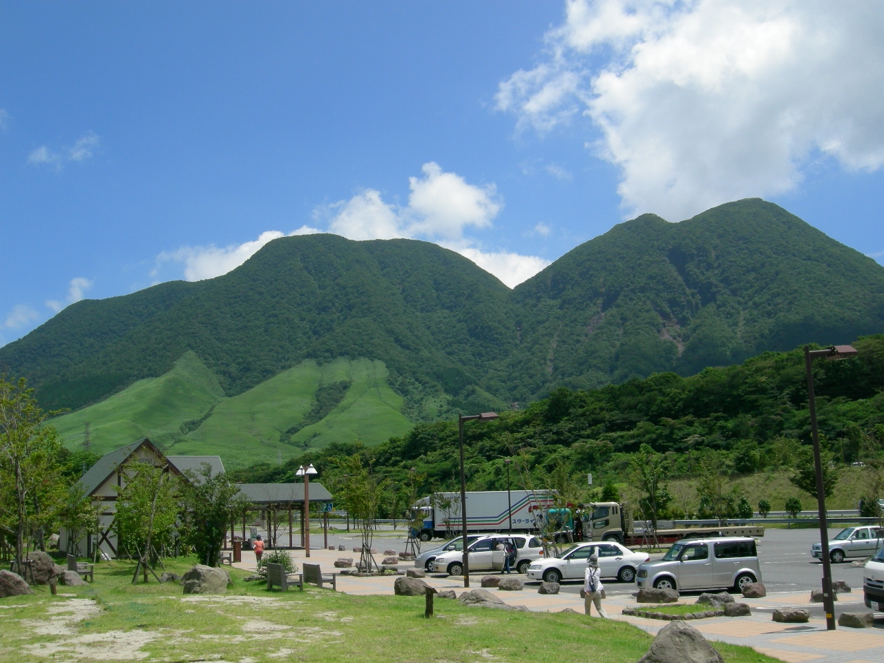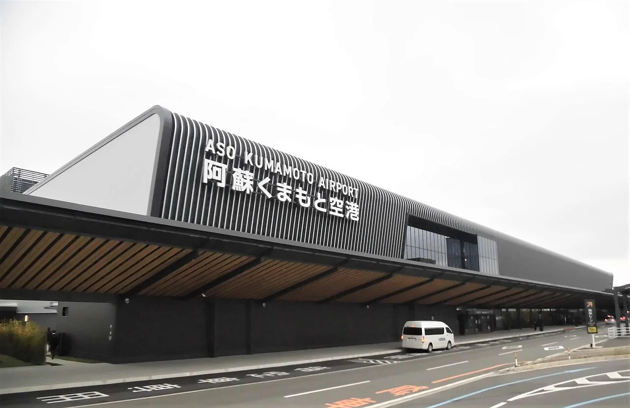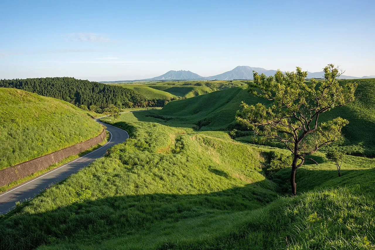
This day course runs from Kumamoto Airport (Aso Kumamoto Airport) around Kusasenri-ga-hama and Daikanbo, and on to the Yamanami Highway. It crosses Makinoto Pass and ends at Chojabaru in the Kuju area. You see the Aso caldera, its grasslands and the Kuju mountains in one day.
Visits to the Aso crater are not possible at present (volcanic alert level 2, as of 2 November 2026). This page gives the map, distances and times, parking and fees, seasonal restrictions, return routes and fuel.
Basic route and timing
- 1Kusasenri
- 2Daikanbo
- 3Shiroyama viewpoint
- 4Makinoto Pass
- 5Chojabaru
Kumamoto Airport → 1 → 2 → 3 → 4 → 5 (Chojabaru), then back to Kumamoto or on to Yufuin IC
The map could not be loaded. Use the junction-by-junction directions below.
Kumamoto Airport to Chojabaru is about 106 km, about 2 hours of driving. With stops and walks it takes 5–6 hours. From Chojabaru, go back towards Kumamoto (about 69 km to Kumamoto Airport), or continue towards Oita and Beppu via Yufuin IC (about 30 km, about 30 minutes).
| Map no. | Section or stop | Distance and time | Time at stop |
|---|---|---|---|
| S→1 | Kumamoto Airport → Kusasenri | About 31 km, about 50 minutes by car | — |
| 1 | Kusasenri-ga-hama and Kusasenri lookout | — | 45–60 minutes |
| 1→2 | Kusasenri → Aso Station side → Daikanbo | About 28 km (about 30 minutes from Aso Station) | — |
| 2 | Daikanbo | — | 30–45 minutes |
| 2→3 | Daikanbo → Shiroyama lookout | About 21 km, about 25 minutes | — |
| 3→4 | Shiroyama lookout → Yamanami Highway → Makinoto Pass | About 21 km, about 25 minutes (Senomoto Kogen to Makinoto Pass: about 15 minutes) | — |
| 4 | Makinoto Pass lookout | From the car park, about 15 minutes on foot going and about 10 minutes back | 30–45 minutes |
| 4→5 | Makinoto Pass → Chojabaru | About 5 km, about 10 minutes | — |
| 5 | Chojabaru (Tadewara Wetland and visitor centre) | Wetland walk: about 45 minutes | 60–90 minutes |
Distances are calculated from map data. Times are published estimates for each section where they exist and are calculated from the map elsewhere. They exclude traffic and breaks.
The times at stops alone add up to 3–4 hours. On a day when you return to Kumamoto, shorten the Chojabaru walk to fit your return time, or turn back at Makinoto Pass.
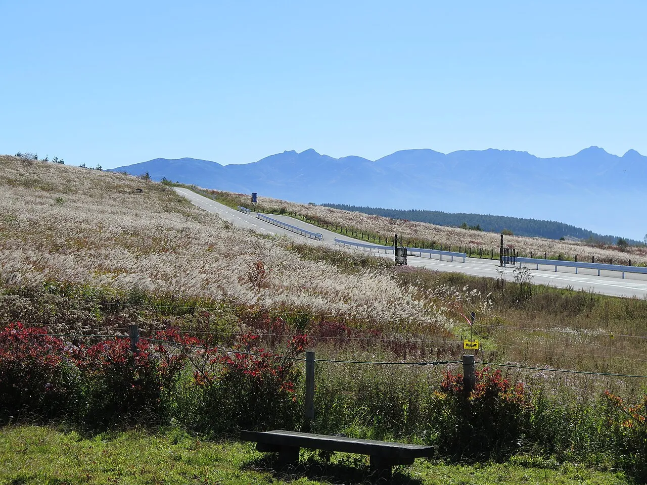
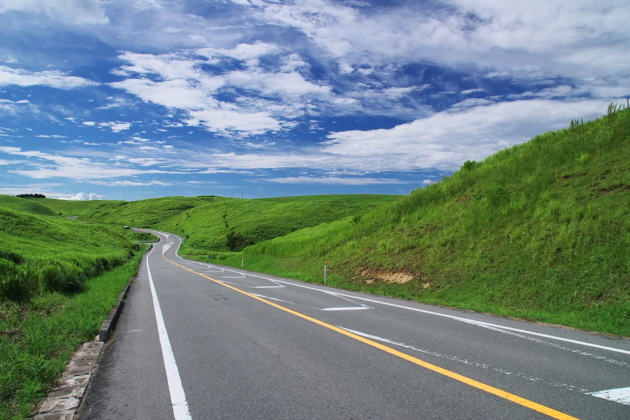
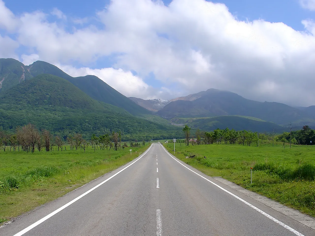
The Yamanami Highway is the popular name of Prefectural Route 11 (Beppu–Ichinomiya Line), which links Beppu with Ichinomiya in Aso City. It used to be a toll road and became free on 25 June 1994. It runs along the "Roof of Kyushu" from Kuju to Aso.
None of the roads has a toll. Kusasenri car park costs ¥500 for passenger cars, and Daikanbo, Shiroyama lookout and Chojabaru have free parking. Expressway tolls and fuel are not included.
Stops, in route order
Follow the grazing-land rules when walking at Kusasenri-ga-hama
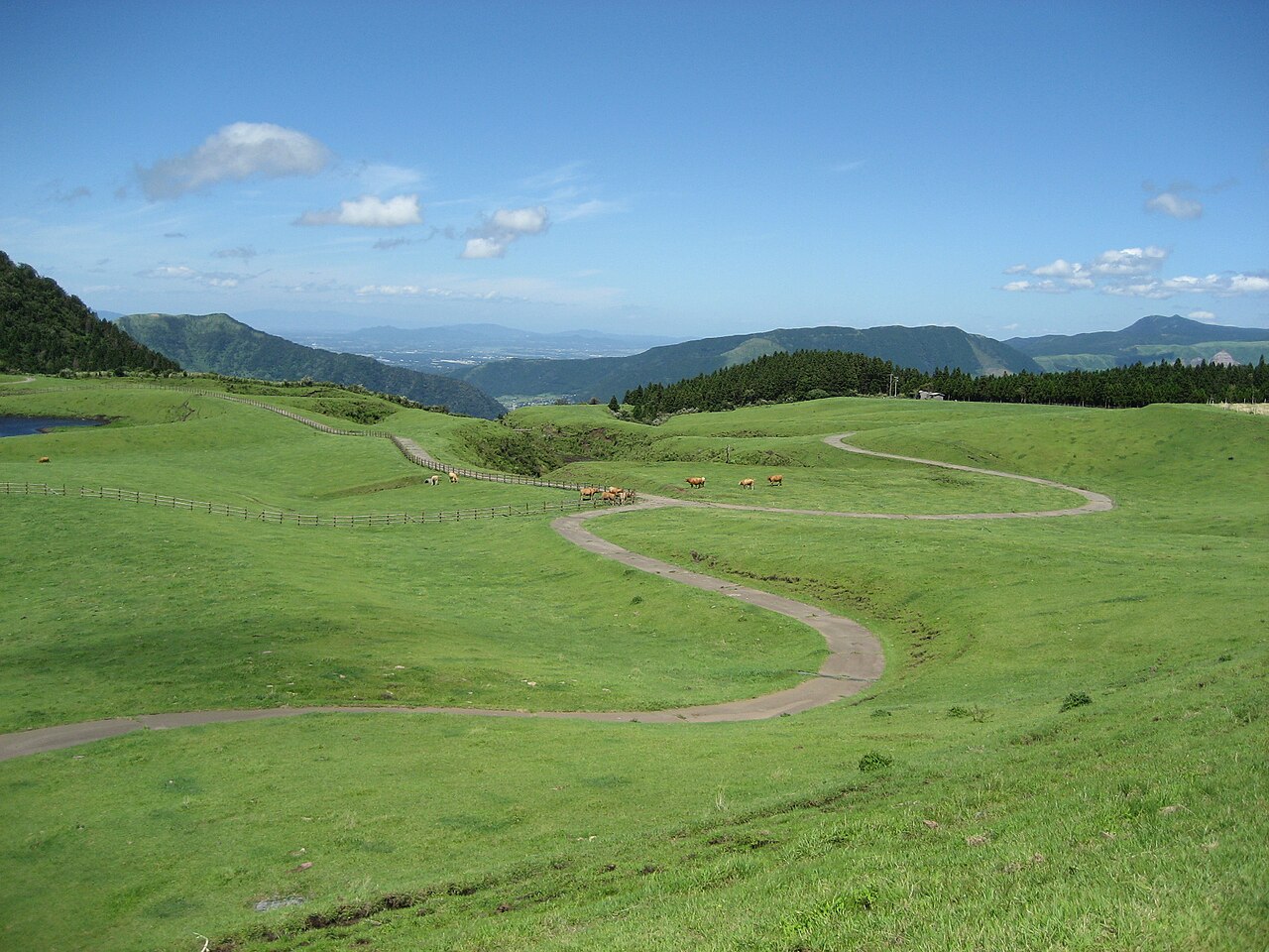
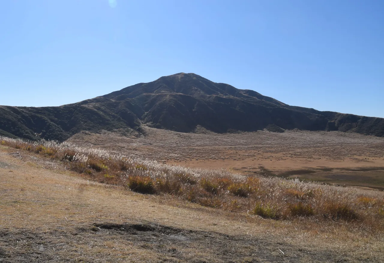
Kusasenri-ga-hama is a grassland at about 1,100 m, with grazing horses and smoking Mt Nakadake in view. The Aso Volcano Museum, restaurants and souvenir shops line the area around the car park. Kumamoto Airport to the Kusasenri lookout takes about 50 minutes by car, and the lookout car park has about 7 spaces.
From the Aso Station side, take Prefectural Route 111 south from Route 57 and climb about 12 km. The nearby Kusasenri car park (paid) holds about 300 vehicles. Fees are ¥500 for passenger cars and ¥200 for motorcycles. On the same day, one payment also covers one use of the Aso-sanjo car park. Vehicles whose number plate classification begins with "2" pay the bus rate (¥2,000). You can check how busy the car park is on Aso City's live camera before you leave.
Horses still graze at Kusasenri-ga-hama. You may not be able to enter during grazing. Stay at least 30 m from the horses, and do not feed them.
For personal or family and friends' photographs with one handheld camera, no notice is generally needed. Show consideration for plants, riding staff and other people nearby. Commercial shoots for television or magazines, and wedding shoots, need notice in advance. Reflectors, light stands and rails cannot be used. Photographing yourself with grazing horses, and approaching horses waiting at the Kusasenri riding club for photographs, are also banned.
Time your stop at Daikanbo to the free parking hours
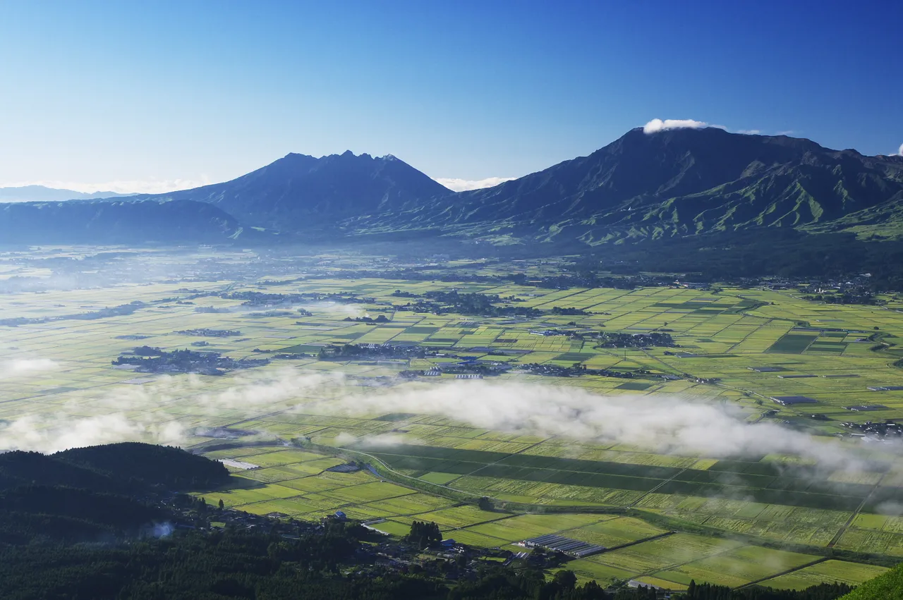
Daikanbo is a lookout at about 936 m on the northern outer rim of Aso. It stands about 400 m above the Aso Valley directly below, with views from the five peaks of Aso to the Kuju range. On early mornings from autumn to winter, you may see a sea of clouds. The five peaks of Aso are said to look like the reclining Buddha, so they are also called the "Nirvana Image".
It is about 30 minutes by car from Aso Station and Michi-no-Eki Aso (a roadside station), and about 60 minutes from Kumamoto Airport.
The Daikanbo Chaya car park has 100 spaces (20 of them for large vehicles) and is free, 08:00–17:00. It is about 0.5 km from the Daikanbo-iriguchi junction on Prefectural Route 45. An early-morning visit for the sea of clouds falls outside those hours, so follow the local signs on where to park, and do not park on the road. Inside the car park, drive slowly and watch for motorcycles and pedestrians.
On the Yamanami Highway, stop at the lookouts and Makinoto Pass
Shiroyama lookout in Ichinomiya stands at the entrance to the Yamanami Highway. It looks over the Aso Valley and the outer rim, and on early mornings from spring to autumn you may see a sea of clouds. From Daikanbo, descend to the Aso Valley and go about 7.9 km north on Prefectural Route 11 from the Miyaji-ekimae junction on Route 57. The car park has 15 spaces and is free, 24 hours. If you set Makinoto Pass as your destination, car navigation may suggest another road; in that case you can skip Shiroyama lookout.
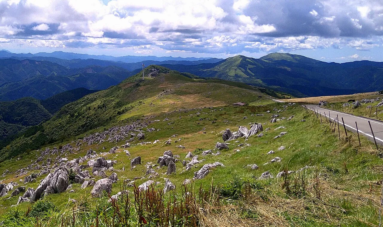
Senomoto Kogen looks over the grasslands of the Aso outer rim and the Kuju mountains, with the five peaks of Aso in the distance. Makinoto Pass is about 15 minutes by car from there (7.5 km).
Makinoto Pass is the highest point on the Yamanami Highway, at 1,330 m. It has a car park, a shop and toilets. A mountain trail from the car park leads to a lookout above Tadewara Wetland. The first lookout is 0.4 km away, about 15 minutes going and about 10 minutes back. Towards Mt Hossho, you can see miyama-kirishima azaleas in June and coloured leaves in October and November.
The lookout is on a mountain trail, so wear comfortable walking shoes. Do not stop on the shoulder for the view; use the car park. Parking on the road is dangerous and blocks other traffic.
Leave time to walk Tadewara Wetland at Chojabaru
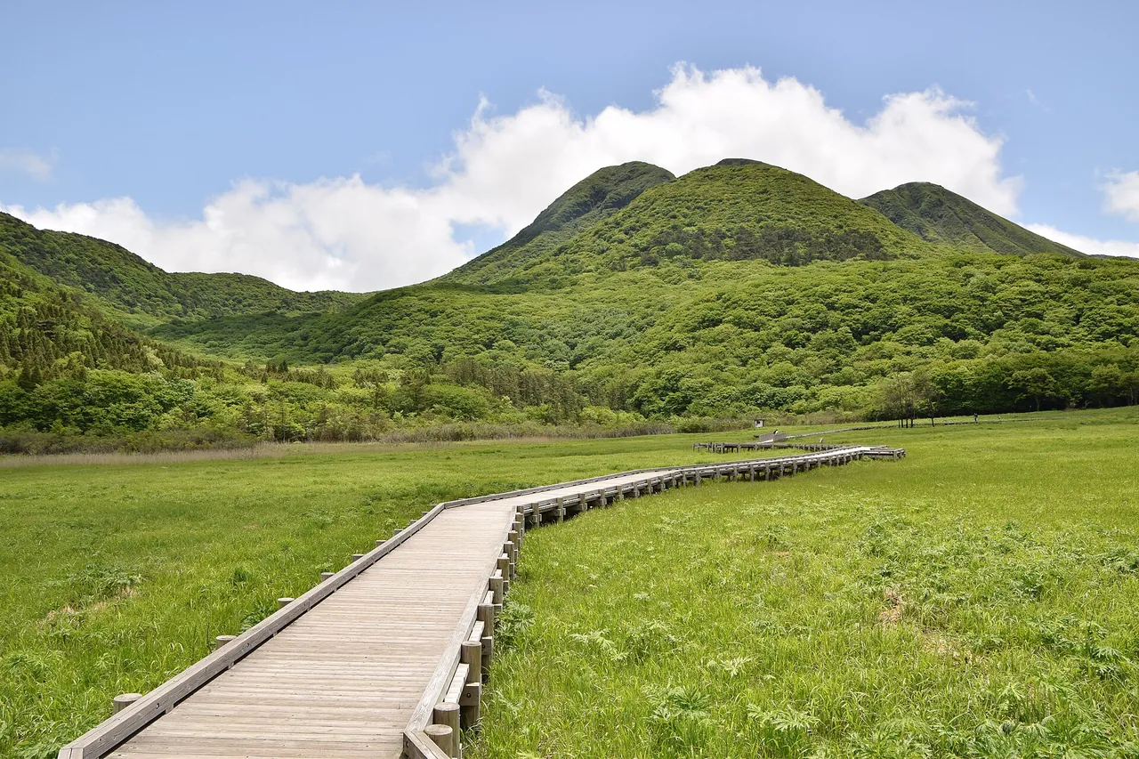
Tadewara Wetland at Chojabaru lies at the northern foot of the Kuju mountains. In 2005 it was listed under the Ramsar Convention together with Bogatsuru. Chojabaru Visitor Centre is free to enter and opens 09:00–17:00 (until 16:00 from November to April). It closes from 29 December to 3 January. It is about 30 minutes from Yufuin IC and about 40 minutes from Kokonoe IC.
The Tadewara Wetland walking course is 2.5 km and takes about 45 minutes, and part of the boardwalk is barrier-free. The visitor centre lends pushchairs and wheelchairs free of charge.
The public car park at Chojabaru is free, 24 hours. Car parks in the Chojabaru area hold about 450 vehicles in total but can fill in the miyama-kirishima and autumn-colour seasons. There is also free parking along the Iozan road (all year, 24 hours). It is unpaved, so watch for mud and bumps in rain.
Open season and road restrictions
Decide on the Aso crater from that day's restrictions
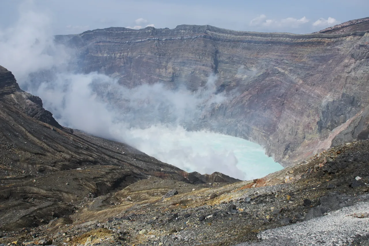
As of 2 November 2026, Mt Aso's volcanic alert level is 2 (crater-area restrictions). The area within about 1 km of Nakadake's first crater is closed, and volcanic gas is also a hazard.
The Aso-san Park Road, the toll road up to the crater, is closed, and the crater cannot be visited for the time being (when open, the fee is ¥1,000 for kei and ordinary cars). Even on days when visits are possible, people with asthma, bronchial or heart conditions, and anyone feeling unwell, cannot visit. Kusasenri-ga-hama, the Kusasenri lookout, the Aso-sanjo Hiroba car park and Daikanbo are outside the level 2 restricted area.
Restrictions can change quickly. In 2026 the level rose to 3 (no entry to the mountain; about 2 km from the crater) on 14 August and fell to 2 on 1 September. Access as far as the Sanjo Hiroba reopened at 09:00 on 2 September. Drones cannot be flown within 1 km of the crater or over the whole of Sunasenri-ga-hama, among other places. Check the restrictions the day before and on the day. If the level has risen, change any plans for the summit area.
Roads close on early-spring grass-burning days
Every early spring, Aso's grasslands are burned all at once, and nearby roads fully close for set hours. In 2026, Prefectural Route 298 (Aso Panorama Line) closed 09:00–15:00 on 1 March. On 8 March, northern outer-rim roads including the Yamanami Highway (Prefectural Route 11) and the Milk Road closed during the day. Rain or strong wind postpones the burning. On burning days, do not stop on the road, and do not leave your car even in a lay-by.
Tadewara Wetland in Kuju also has grass burning every March or April.
On icy and foggy days, shorten the highland section
Kusasenri can be covered in snow in midwinter, and rime ice appears along the Yamanami Highway in winter. On the prefectural roads in Kokonoe Town on the Oita side, snow and ice work assumes that vehicles have anti-skid equipment. Response can be difficult at night and in the early morning, and no de-icing agent is spread on frozen roads without snow.
Check where anti-skid equipment is required on the Oita Disaster Prevention Information Portal, and road surfaces at the Makinoto trailhead and Senomoto on live cameras. Kumamoto Prefecture's snow and ice restrictions for national and prefectural roads it manages in the Aso area are on "Bosai Joho Kumamoto". Route 57 is not covered there, so check the Ministry of Land, Infrastructure, Transport and Tourism's road information.
Without winter tyres or chains, or if you are not used to snowy roads, skip the highland section or change the day.
In thick fog, turn on your lights and slow down to suit the visibility. Do not wait on the shoulder for the view to clear.
Watch for night closures on Route 57 when returning to Kumamoto
The northern restoration road of Route 57, which links the Kumamoto side with Aso, has full closures for repair work. The main dates for the Aso-nishi IC–Ozu IC section ended on the morning of 31 October 2026. Reserve dates remain: the night of 2 November to the morning of 3 November, the night of 4 November to the morning of 7 November, and the night of 9 November to the morning of 14 November, each night 21:00–06:00. The detour is via Route 57 and other roads. If you return towards Kumamoto in the evening or later on those dates, recheck your route allowing for the detour.
Best seasons and crowds
June is the season for miyama-kirishima azaleas, and October and November for autumn colour. You may see a sea of clouds at Daikanbo on early mornings from autumn to winter, and at Shiroyama lookout on early mornings from spring to autumn. In winter there is rime ice along the Yamanami Highway.
The Chojabaru car parks can fill in the miyama-kirishima and autumn-colour seasons. You can check how busy Kusasenri car park is on Aso City's live camera before you leave.
From the Oita side, and in rain or fog
From the Oita side, climb from Yufuin IC to Chojabaru and follow the course in reverse: Makinoto Pass, the Yamanami Highway, Daikanbo and Kusasenri.
On days when rain or fog hides the view, shorten Daikanbo and Makinoto Pass, and switch to indoor stops such as Chojabaru Visitor Centre or the Aso Volcano Museum at Kusasenri. Check opening hours before you leave.
Return routes and fuel
There are two ways back from Chojabaru. To return towards Kumamoto, go back over Makinoto Pass and along the Yamanami Highway (about 69 km, about 1 hour 10 minutes to Kumamoto Airport). To continue towards Oita and Beppu, Yufuin IC is about 30 km and about 30 minutes away. On a day when you return to Kumamoto in the evening or later, watch for the Route 57 night closures too.
Check your fuel before entering the highland section. Look up fuel stations and their hours before you leave.
Without a car: rent at Kumamoto Airport
Kumamoto Airport has car rental branches, and you need an International Driving Permit or other accepted licence; the airport pickup guide explains the process. To return to the same branch, turn back at Chojabaru or Makinoto Pass. If you return to a branch near the airport and take its shuttle to the terminal, allow time for the shuttle too.
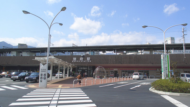
To return near Oita Airport or Beppu Station, you can continue towards Yufuin IC. This is a one-way rental, so check when booking whether it is possible and how much it costs. If your contract requires a full tank, look up a fuel station near the return branch.
Work out when to leave Chojabaru from your return time. For example, to return at 18:00, allow 120 minutes from Chojabaru to the branch, 30 minutes for refuelling and paperwork, and 60 minutes spare. In that case, leave Chojabaru at 14:30. At lunch, recalculate the time left, and shorten the Chojabaru walk if needed.
If you rent in winter, check when booking whether winter tyres are included.
Frequently asked questions
How long does the whole route take?
Kumamoto Airport to Chojabaru is about 106 km, about 2 hours of driving. With stops and walks it takes 5–6 hours. Returning to Kumamoto Airport adds about 1 hour 10 minutes.
Are there any charges?
The roads are free. Kusasenri car park costs ¥500 for passenger cars, and parking at Daikanbo, Shiroyama lookout and Chojabaru is free. The Aso-san Park Road (¥1,000) is closed at present.
Can I see the Aso crater?
Not as of 2 November 2026. At volcanic alert level 2, the area within 1 km of the crater is closed, and the road up to the crater is also closed. You can still go to Kusasenri and Daikanbo.
Can I drive it in winter?
If there is ice or snow in winter, you need winter tyres, chains or other anti-skid equipment. Roads close for set hours on early-spring grass-burning days.
If I rent a car, where should I rent it?
Renting at Kumamoto Airport and returning to the same branch is simplest. Continuing to the Oita side and returning there is a one-way rental, so choose the return branch and check the cost when booking.
Related guides
Sources & verification
Last verified: 2026-11-02
Updates and corrections
- English day-drive guide to Aso and the Yamanami Highway, with crater restrictions, parking, seasonal closures and return routes.
All sources (28)
- Oita Prefecture tourism website (official page, in Japanese) · 2026-10-27
- Oita Prefecture (official page, in Japanese) · 2026-10-27
- Ministry of the Environment (official page, in Japanese) · 2026-10-27
- Kumamoto Prefecture Tourism Site (official page, in Japanese) · 2026-10-27
- Kumamoto Prefecture Tourism Site (official page, in Japanese) · 2026-10-27
- Kyushu Regional Development Bureau (Kyushu Torupa) (official page, in Japanese) · 2026-10-27
- Natural Parks Foundation, Aso Branch (official page, in Japanese) · 2026-10-27
- Aso City (official page, in Japanese) · 2026-10-27
- Aso City (official page, in Japanese) · 2026-10-27
- Kumamoto Prefecture Tourism Site (official page, in Japanese) · 2026-10-27
- Kumamoto Prefecture school-trip website (official page, in Japanese) · 2026-10-27
- Kyushu Regional Development Bureau (Kyushu Torupa) (official page, in Japanese) · 2026-10-27
- Aso City (official page, in Japanese) · 2026-10-27
- Kyushu Regional Development Bureau (Kyushu Torupa) (official page, in Japanese) · 2026-10-27
- Kokonoe Town (official page, in Japanese) · 2026-10-27
- Chojabaru Visitor Centre (official page, in Japanese) · 2026-10-27
- Ministry of the Environment (official page, in Japanese) · 2026-10-27
- Kyushu Regional Development Bureau (Kyushu Torupa) (official page, in Japanese) · 2026-10-27
- Japan Meteorological Agency (official page, in Japanese) · 2026-11-02
- Aso City (official page, in Japanese) · 2026-11-02
- Kumamoto Prefecture Tourism Site (official page, in Japanese) · 2026-10-27
- Aso Volcano Disaster Prevention Council (official page, in Japanese) · 2026-11-02
- Aso City (official page, in Japanese) · 2026-10-27
- Oita Prefecture, Kusu Civil Engineering Office (official page, in Japanese) · 2026-10-27
- Kumamoto Prefecture, Kenhoku Regional Office (official page, in Japanese) · 2026-10-27
- Aso Regional Tourism Federation (official page, in Japanese) · 2026-10-27
- Kumamoto River and National Highway Office (official page, in Japanese) · 2026-11-02
- OpenStreetMap (map positions and route; © OpenStreetMap contributors, ODbL; route calculated with OSRM) · 2026-10-24