


Nippon Rent-A-Car
Yokohama Station West Exit
About 1 minute on foot from Yokohama Station north-west exit, across Tsuruya Bridge.
DESTINATION
Start with the Hakone and Shonan–Miura area guides to choose where to go. Use the detailed guides to check road restrictions and parking for each stop. If you need a car, continue to the Kanagawa rental comparison.
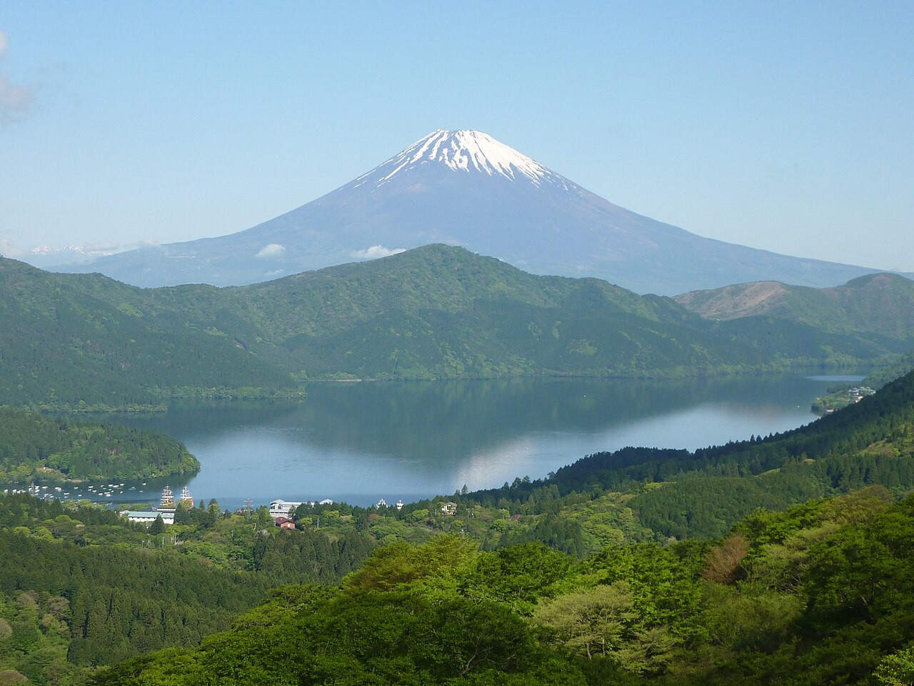
Driving in Kanagawa divides into three distinct zones: the western mountain and caldera roads of Hakone, the southern Sagami Bay and peninsula coast of Shonan–Miura, and the eastern urban expressway bayfront around Yokohama and Kawasaki (including Daikoku PA). Use the map and table below to compare gateway ICs, stations and road character across the three zones.
| Driving zone | Main gateway ICs & stations | Road character | Best suited trip |
|---|---|---|---|
| 1. Hakone (West: mountains, Lake Ashi & hot springs) | Odawara-Atsugi Road (Odawara-nishi IC, Hakoneguchi IC), Tomei Gotemba IC / Odawara Station | Hakone Shindo, Route 1, Route 138, Hakone Turnpike (¥900 standard car), Ashinoko Skyline (¥1,000) | Mountain ridge drives, Lake Ashi & Mt. Fuji viewpoints, Owakudani, Sengokuhara and hot-spring stays |
| 2. Shonan & Miura (Central/South coast: Sagami Bay & Tokyo Bay) | Shin-Shonan Bypass Chigasaki-kaigan IC / Yokohama-Yokosuka Road (Asahina, Zushi, Sahara, Maborikaigan ICs) / Yokohama Station | Route 134 coastal road, Yokohama-Yokosuka Road, Zuyo Shindo (¥100), Miura Jukan Road (¥310) | Coastal cruising past Enoshima, Shichirigahama and Kamakura, sunset stops in Hayama, and Jogashima / Misaki Port |
| 3. Yokohama & Kawasaki Bayfront (East: urban expressways & bay PAs) | Shutoko Bayshore Route (B), Yokohane Route (K1), Daikoku Route (K5) Daikoku JCT / Kawasaki-Ukishima JCT / Yokohama Station & Haneda area | Shutoko Bayshore Route, Yokohama Bay Bridge, Tsurumi Tsubasa Bridge, Tokyo Bay Aqua-Line connection at Kawasaki-Ukishima JCT | Shutoko night loops across Yokohama Bay Bridge and Tsurumi Tsubasa Bridge, Daikoku PA stops, and cross-bay drives |
Two area guides are published in Kanagawa: Hakone and Shonan–Miura. Compare their scenery, road character, sample loops and seasonal/parking constraints side by side below before opening each area guide.
| Area | Scenery & road character | Suitable itinerary | Seasonal, traffic & parking notes | Primary rental base |
|---|---|---|---|---|
| Hakone | Mountain and caldera routes climbing to Taikanzan (approx. 1,000 m) and Lake Ashi. Combines toll-free highways (Hakone Shindo, Route 1, Route 138) with scenic ridge toll roads. | Toll-free 61 km loop from Odawara via Hakone Shindo to Lake Ashi, Owakudani and Sengokuhara (approx. 1 hr 50 min driving), or a 42 km loop via Hakone Turnpike and Taikanzan. | Standard ETC does not work on Hakone Turnpike (cash, ticket book or pre-registered ETCX). Owakudani road closes 17:00–9:00. Winter tyres are advised across Hakone from 1 Dec to 31 Mar. | Odawara Station (7 branches compared) |
| Shonan & Miura | Open coastal driving along Route 134 beside Sagami Bay (Chigasaki, Enoshima, Kamakura, Hayama) paired with the Yokohama-Yokosuka Road and Miura Peninsula routes. | Full 60 km coastal drive from Chigasaki-kaigan IC via Enoshima, Shichirigahama, Kamakura and Hayama to Jogashima and Misaki Port (approx. 1 hr 50 min driving), or a 16 km Kamakura–Enoshima trip. | Heavy weekend and summer traffic on Route 134 and in central Kamakura (New Year road closures around Kamakura Station). Yuigahama Underground and Hasedera car parks lock overnight after closing. | Yokohama Station (5 branches compared) |
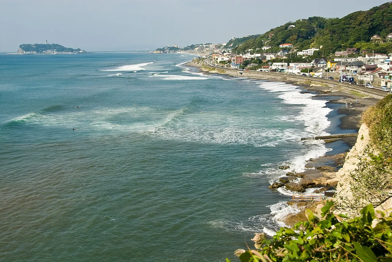
Plan a coastal drive from Chigasaki to Enoshima, Kamakura, Hayama and Misaki Port, with a route map, parking prices, opening hours and current road restrictions.
How to drive around Hakone: a one-day loop of Lake Ashi, Owakudani and Sengokuhara, tolls and hours of the Hakone Turnpike and Ashinoko Skyline (no ETC), parking at each stop, autumn leaf and pampas grass seasons, crowds and how to get there.
Explore the published road and stop guides inside Kanagawa: Hakone Turnpike & Taikanzan (a mountain toll road and viewpoint lounge) and Daikoku PA (an expressway parking area on the Shutoko network).
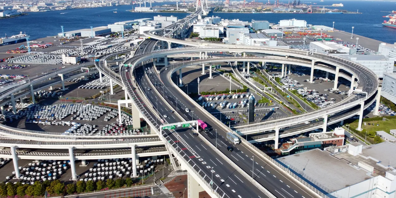
Daikoku Parking Area in Yokohama can only be entered by car from the Shutoko expressway. You cannot walk in, there is no taxi stand or bus stop, and it can close at times that are not announced. Access, facilities, tolls and ETC, closures and enforcement, from official sources.
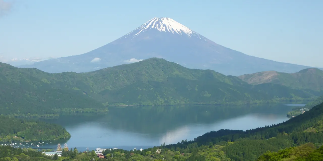
Drive from Odawara to Taikanzan: the ¥900 Hakone Turnpike toll, opening hours, cash and ETCX payment, vehicle restrictions, Sky Lounge hours, cherry blossoms and fog.
Choose between the Shutoko night loop via Yokohama Bay Bridge and Daikoku PA, the Kanto day-drive comparison (including the Miura course), or the step-by-step model routes with time breakdowns inside the Hakone and Shonan–Miura area guides.
| Route / guide | Start, return & key stops | Driving & stay time | Guide link |
|---|---|---|---|
| Shutoko Night Drive Loop | Ueno entrance/exit loop via Rainbow Bridge, Haneda, Yokohama Bay Bridge, Tsurumi Tsubasa Bridge and Daikoku PA (or Tatsumi No. 1 PA if closed) | Approx. 110 km total; about 1 hr 40 min driving (approx. 2 hours with a PA break) | Read Shutoko Night Drive → |
| Three Day Drives in Kanto (Miura course & others) | Compares the Miura course (Jogashima walk & Misaki Port lunch), Kisarazu course (via Umihotaru PA) and Nagatoro course with return-time planning | Day trip (work back from target return time, reviewing schedule before departure and after lunch) | Read Three Day Drives in Kanto → |
| Routes inside the Hakone Area Guide | (1) Odawara → Hakone Shindo → Lake Ashi, Owakudani & Sengokuhara (toll-free, approx. 61 km) / (2) Odawara → Hakone Turnpike → Taikanzan → Onshi-Hakone Park → Hakone Checkpoint (approx. 42 km) | (1) Approx. 1 hr 50 min driving + stops (full day) / (2) 30–45 min at Taikanzan, 60–90 min at Onshi-Hakone Park, 45 min at Hakone Checkpoint (half to full day) | See Recommended drives in Hakone guide → |
| Routes inside the Shonan & Miura Area Guide | (1) Chigasaki-kaigan IC → Enoshima → Shichirigahama → Kamakura → Hayama → Jogashima & Misaki Port (approx. 60 km) / (2) Asahina IC → Tsurugaoka Hachimangu → Yuigahama/Hase → Shichirigahama → Enoshima (approx. 16 km) | (1) Approx. 1 hr 50 min driving + stops (full day) / (2) Approx. 30 min driving + stops in Kamakura and Enoshima (6–8 hours total) | See Recommended drives in Shonan–Miura guide → |
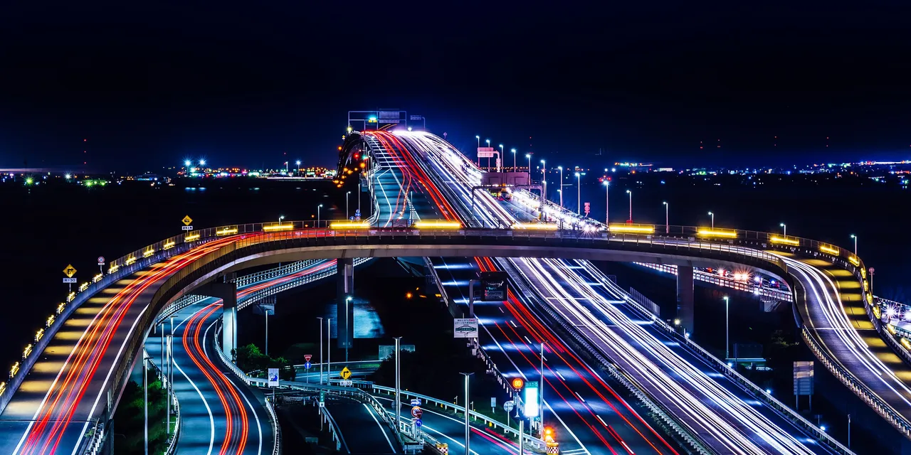
Choose a Kanto day drive by what you want to do: walk Jogashima and Misaki on the Miura coast, stop at Umihotaru for Kisarazu, or park and walk Nagatoro's Iwadatami. Includes parking notes and return-time planning.
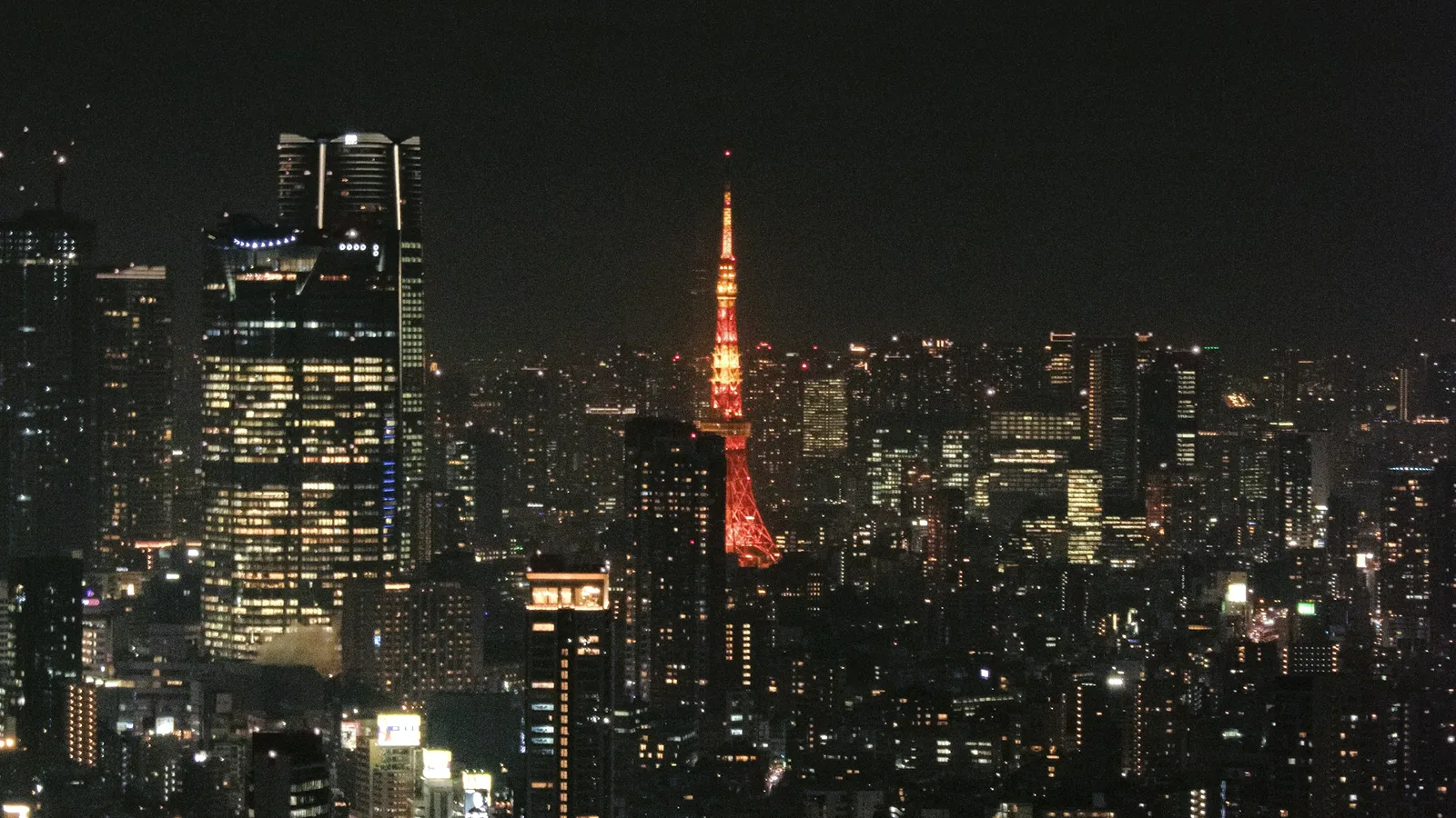
A two-hour night loop on Tokyo's Shutoko expressway from Ueno and back: Rainbow Bridge, Haneda Airport, Yokohama Bay Bridge, Tokyo Skytree and Tokyo Tower. Five highlights, junction-by-junction directions, and what visitors need: an IDP, an ETC card, tolls and where to stop.
Review the key operating hours, toll payment rules, winter tyre advisories, parking curfews and unannounced PA closures verified across our published Kanagawa guides. Always check the official road and facility notices before departure.
| Road section / facility | Verified conditions, restrictions & notes | Official source & checked date |
|---|---|---|
| ANEST IWATA Turnpike Hakone (Odawara Hayakawa to Taikanzan, 13.782 km main line) | Open 5:30–22:30 (last entry 22:00; subject to weather). Standard/kei car toll is ¥900 on the main line and ¥200 on the Hakone–Izu connecting line per one-way passage. Standard ETC is not accepted; pay by cash, prepaid tickets, or pre-registered ETCX (stop at gate). Motorcycles 125 cc or under, mopeds, bicycles and pedestrians are prohibited. Sky Lounge opens 9:30–16:00 weekdays, 8:00–17:00 weekends/holidays. | ANEST IWATA Turnpike Hakone official guide · |
| Hakone winter snow/ice, Owakudani gate hours & heavy-rain closures (Routes 1, 138, 75, 732) | From 1 December to 31 March, Kanagawa Prefecture advises winter tyres across Hakone and issues snow-tyre/chain requirements during snowfall. The road beyond Owakudani Junction closes 17:00–9:00 (car park open 9:00–16:20; until 16:00 in Dec–Jan). Designated mountain sections close when hourly rainfall reaches 50 mm or cumulative rainfall reaches 200 mm. | Kanagawa Prefecture road & winter driving notices · |
| Shonan, Kamakura & Enoshima traffic, parking curfews & tunnel works (Route 134, Kamakura, Routes 209 & 217) | Expect weekend and July–August congestion along Route 134 and central Kamakura; Kamakura offers Yuigahama Underground Park & Ride (¥1,700 for 5 hours parking + Enoden/bus pass, except Jul–Aug and 1–3 Jan). Vehicles are restricted around Kamakura Station on 31 Dec (23:00)–1 Jan (17:00) and 2–3 Jan (9:00–17:00). Night lane restrictions apply at Route 134 Iseyama Tunnel (through late Nov) and Route 217 Shinzawa Tunnel (through 25 Dec), with a partial closure and detour on Route 209 near Kannonzaki. | Kamakura City & Kanagawa Prefecture traffic notices · |
| Shutoko Daikoku PA (Bayshore Route B & Daikoku Route K5, Tsurumi-ku, Yokohama) closures & access rules | Daikoku PA may close without advance notice—especially on weekend nights—for police enforcement, security, snow forecasts or roadworks; toilets, shops and EV chargers close when the PA closes. Entry is strictly by expressway vehicle (no pedestrian, bicycle, bus or taxi access), and the ordinary-road Daikoku-futo ramps do not connect to the PA. | Shutoko & Shutoko Service Daikoku PA guide · |
Use the gateway summary below if you are driving your own car, or compare rental branches across Kanagawa, Odawara Station and Yokohama Station if you need a rental vehicle.
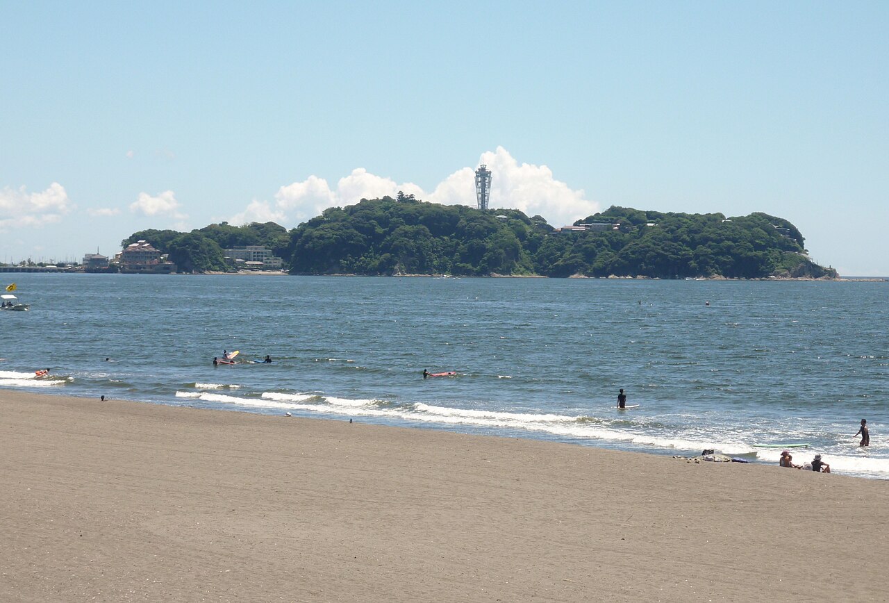
Compare 12 rental branches at Odawara and Yokohama stations: pickup access, opening hours, one-way returns and reference rates for Hakone, Shonan and Miura.
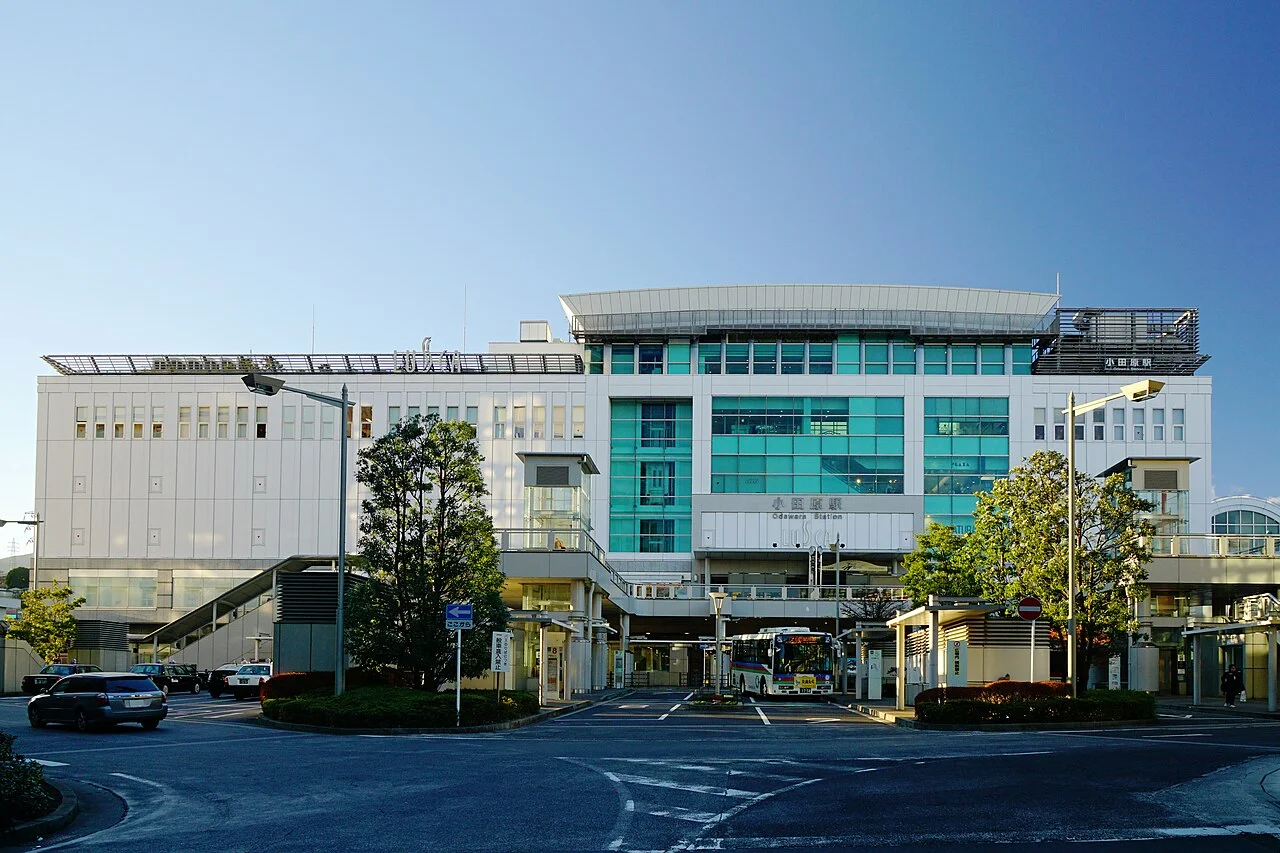
Compare seven rental branches at Odawara Station for Hakone and Izu, with west- and east-exit pickup directions, Toyota counter details, closing times and reference rates.
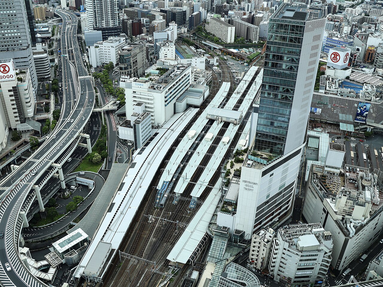
Compare five rental branches at Yokohama Station: west- and east-exit access, opening hours, car-park height limits, return MAPCODEs and branch-specific One's rates.
Nippon Rent-A-Car
About 1 minute on foot from Yokohama Station north-west exit, across Tsuruya Bridge.
Nippon Rent-A-Car
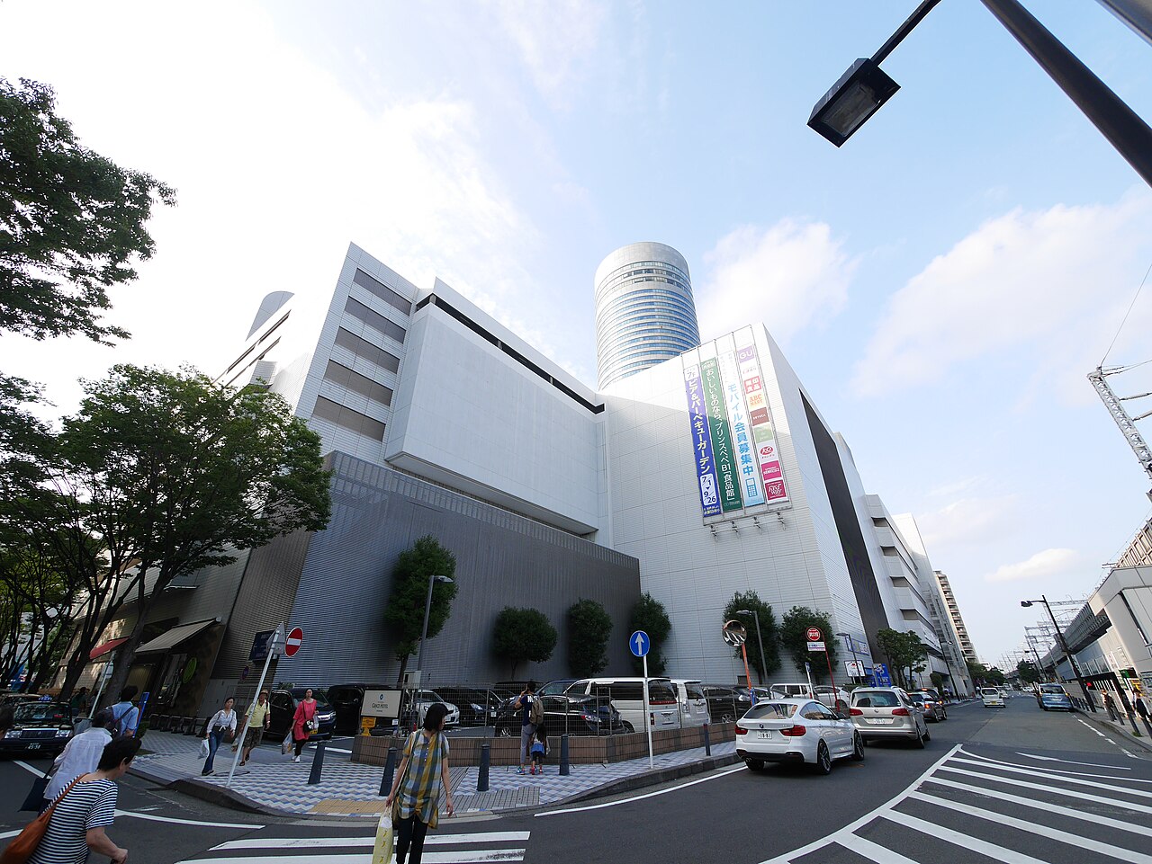 Building photo ↗
Photo: 運転太郎 (CC BY 3.0)
About 2 minutes on foot from Shin-Yokohama Station.
Nippon Rent-A-Car
About 2 minutes on foot from Keikyu Kawasaki Station central exit.
Nippon Rent-A-Car
About 1 minute on foot from JR Sakuragicho east exit or subway North Exit 2, opposite the Washington Hotel.
Road tolls, operating hours, winter tyre advisories, parking rules and PA closure policies on this hub are grounded in the primary official sources verified for our published Kanagawa guides below. Conditions can change due to weather, roadworks or police enforcement; check the official notices before setting out.