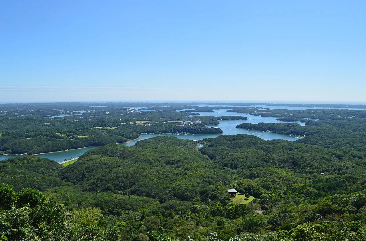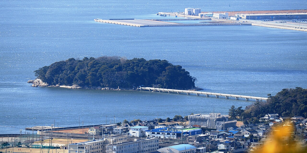
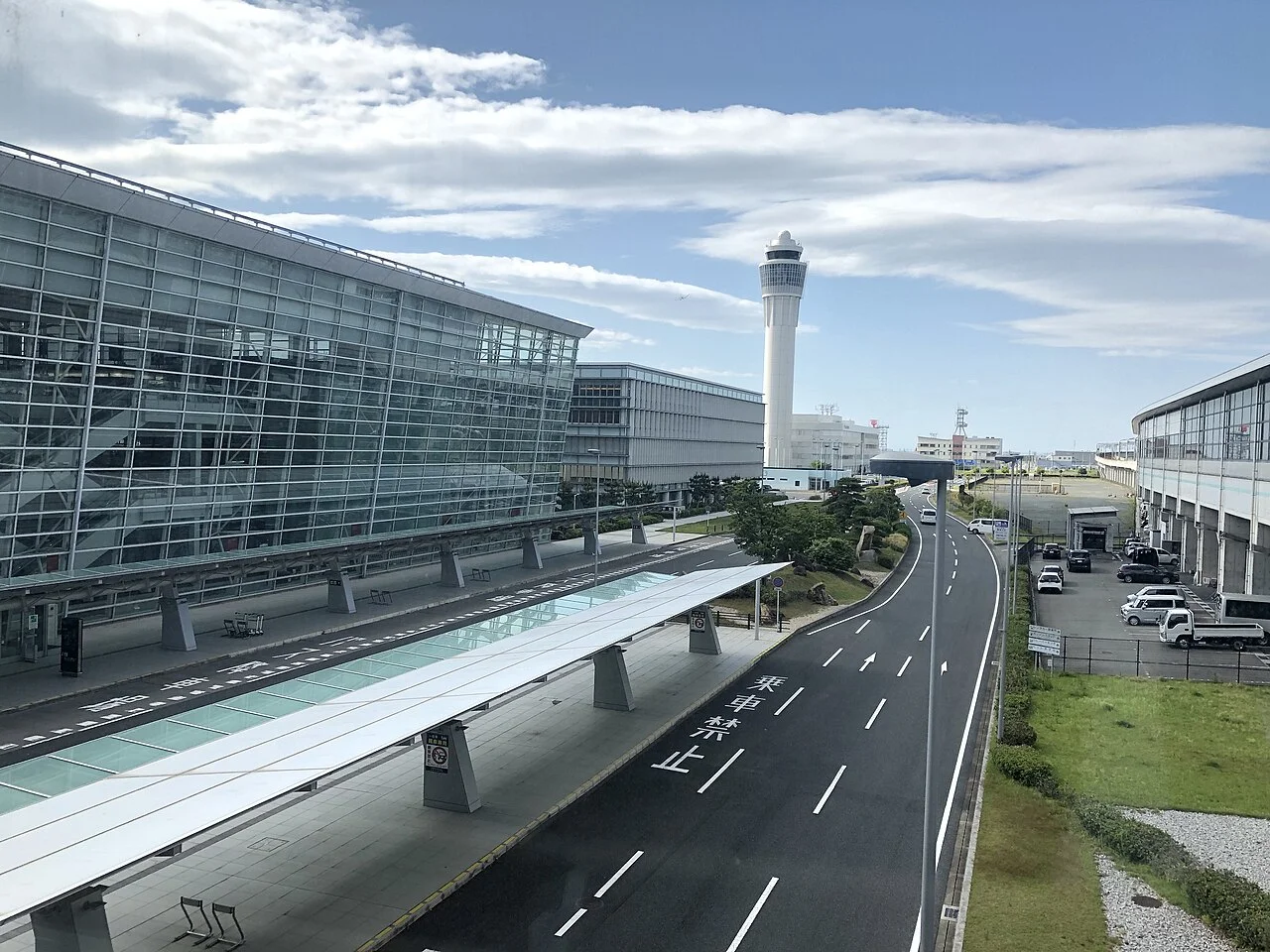
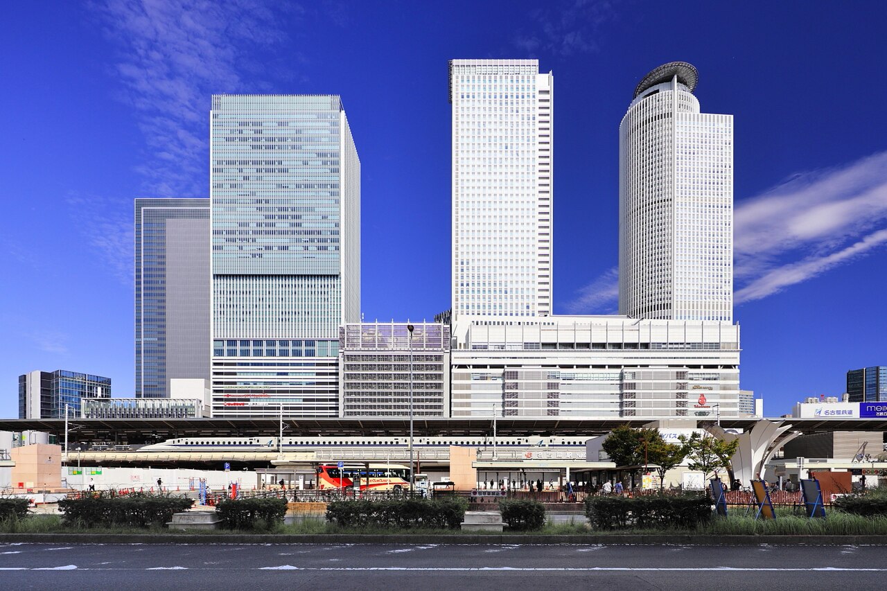
The Chita and Atsumi area consists of two peninsulas reaching south from Aichi Prefecture. The Chita Peninsula in the west has Tokoname, Mihama and Minamichita; the Atsumi Peninsula in the east has Tahara. On both you can drive coastal roads out to the capes.
This guide gives one route for each peninsula and explains the ferry between Irago and Toba, with roads and places to stop listed below.
Map of the Chita and Atsumi area
- Views and nature
- Roadside stations
- 1Tokoname Pottery Footpath
- 2Minamichita Beachland
- 3Nomazaki Lighthouse
- 4Shoku to Kenko no Yakata
- 5Utsumi Beach
- 6Cape Hazu
- 7Mt. Zao Observatory
- 8Michi-no-Eki Tahara Mekkun House
- 9Hiji no Sekimon
- 10Koijigahama Beach
- 11Cape Irago Lighthouse
- 12Michi-no-Eki Irago Crystal Port
- 13Michi-no-Eki Toyohashi
Lines: 1 → 2 → 3 → 5 → 6 / 8 → 7 → 9 → 12
The map could not be loaded. Use the junction-by-junction directions below.
The lines follow the Tokoname-to-Cape-Hazu and Tahara-to-Irago routes below. Numbers mark the stops: green for scenery and nature, blue for roadside stations. Tap a marker to see its name.
Recommended drives
First visit: the Chita Peninsula from Tokoname to Cape Hazu
From Tokoname Pottery Footpath, head south on Route 247, stopping at Minamichita Beachland, Nomazaki Lighthouse and Utsumi, and continue to Cape Hazu at the tip of the peninsula.
The route is about 35 km, with around 30 minutes of driving. Distance and time are calculated from map data and exclude traffic.
The Atsumi Peninsula from Tahara to Irago
From Michi-no-Eki Tahara Mekkun House, a roadside station, climb to Mt Zao Observatory and take Route 42 towards the tip of the peninsula. Stop at Hiji no Sekimon and continue to Michi-no-Eki Irago Crystal Port. Koijigahama Beach is just beyond it.
The route is about 39 km, with around 37 minutes of driving.
Cape Irago Lighthouse has no car park of its own. Park at Koijigahama Beach and walk for about ten minutes.
Linking the two peninsulas
From Cape Hazu to Michi-no-Eki Tahara Mekkun House is about 89 km by road, with around 1 hour 10 minutes of driving. Rather than doing both in one day, drive each peninsula on a separate day.
Isewan Ferry carries cars between Irago and Toba. The crossing takes 60 minutes. An ordinary car under 6 m costs ¥7,980 one way, including the driver's fare. Reservations are by telephone up to the previous day; on the day it is first come, first served.
Roads you can drive
| Road | What to expect | Length and cost | Hours and restrictions |
|---|---|---|---|
| Chita Peninsula Road | Tolled road running north to south along the Chita Peninsula | Tolled | — |
| Minamichita Road | Has Mihama, Minamichita and Toyooka ICs | Tolled | — |
| Chita Odan Road | To Tokoname IC | Tolled | About five minutes from Tokoname IC to the Pottery Footpath |
| National Route 247 | Along the west coast of the Chita Peninsula | — | — |
| National Route 259 | From Toyohashi to the Atsumi Peninsula | — | — |
| National Route 42 | Circles the Atsumi Peninsula together with Route 259 | About 60 km together with Route 259 | Lined with rapeseed flowers in early spring |
| National Route 23 | From the Nagoya side to Toyohashi | — | — |
Places to stop
Views and nature
Numbers match the map.
| No. | Place | Parking | What to know |
|---|---|---|---|
| 1 | Tokoname Pottery Footpath | About 45 spaces, ¥300 per eight hours; Tokoname tourist information centre about 40 spaces, ¥500 | Course A: 1.6 km, about one hour |
| 2 | Minamichita Beachland | 800 cars, ¥1,000 | Adults ¥2,200. 09:30–16:00, closed irregularly |
| 3 | Nomazaki Lighthouse | Paid parking nearby | Built in 1921, 18 m high. Free to view |
| 4 | Shoku to Kenko no Yakata | 64 spaces, free (a paid area applies in summer) | 09:00–17:00. Closed Tuesdays (the next day if a holiday) and over the New Year holidays |
| 5 | Utsumi Beach (Chidorigahama) | About 2,000 spaces including private car parks, ¥1,500 per day (varies by car park) | Sandy beach about 2 km long |
| 6 | Cape Hazu | Paid | Tip of the Chita Peninsula. Walking path 800 m |
| 7 | Mt Zao Observatory | 135 spaces, free | Elevation 250 m. 09:00–22:00, open all year. Free entry |
| 9 | Hiji no Sekimon | Hiji-en car park about 12 spaces; Hiji car park about 60 ordinary cars | ¥1,500 from 31 December at 20:00 to 1 January at 09:00. Traffic restrictions on 1 January, 05:00–08:00 |
| 10 | Koijigahama Beach | 124 spaces | Sandy beach about 1 km long |
| 11 | Cape Irago Lighthouse | Ten minutes' walk from Koijigahama Beach car park | Free to view |
Roadside stations
| No. | Roadside station | Parking | What to know |
|---|---|---|---|
| 8 | Michi-no-Eki Tahara Mekkun House | 150 ordinary cars | 09:00–18:00 from September to February; 09:00–19:00 from March to August |
| 12 | Michi-no-Eki Irago Crystal Port | 35 ordinary cars | Shop 08:00–17:30, closed Tuesdays. About ten minutes' walk to Koijigahama Beach |
| 13 | Michi-no-Eki Toyohashi | 169 ordinary cars | Higashi-Nanane in Toyohashi, before the Atsumi Peninsula. Tomate 09:00–18:00, closed 1 January; Agri Park Shokusaimura 09:00–18:00, closed the first Wednesday of each month |
Best seasons and crowds
| Season | Highlights and cautions |
|---|---|
| Early spring | Rapeseed flowers beside Routes 42 and 259 on the Atsumi Peninsula |
| 1 July–31 August | Utsumi beach open for swimming |
| 31 December–1 January | Hiji car park becomes paid; traffic restrictions on 1 January, 05:00–08:00 |
Sunset is at 16:58 on 1 November and 16:47 on 15 November (Nagoya).
Roads and restrictions checked on 2 November 2026
- Quay works at Toba Port have brought traffic restrictions to roads around the Toba ferry terminal.
- Around Hiji no Sekimon, traffic restrictions apply on 1 January, 05:00–08:00.
Getting there and fuel
| Starting point | Approximate drive |
|---|---|
| Nagoya | About two hours by car to the Atsumi Peninsula |
| Hamamatsu | About 1 hour 30 minutes by car to the Atsumi Peninsula |
| Toyohashi | About 45 minutes by car to the Atsumi Peninsula |
| Toyokawa IC, Tomei Expressway | About 90 minutes to Koijigahama Beach |
| Toba | 60 minutes by ferry to Irago |
| Tokoname IC, Chita Odan Road | About five minutes to the Pottery Footpath |
| Mihama IC, Minamichita Road | 20 minutes to Nomazaki Lighthouse |
| Toyooka IC, Minamichita Road | About 15 minutes to Cape Hazu |
Refuel in town before heading for the tip of either peninsula.
If you don't have a car
See car rental in Aichi for pickup locations in the prefecture. Before booking, check the driving-permit requirements.
Frequently asked questions
Where should I drive with one day on the Chita Peninsula?
From Tokoname Pottery Footpath, head south on Route 247, stopping at Nomazaki Lighthouse and Utsumi, and continue to Cape Hazu.
Where should I drive with one day on the Atsumi Peninsula?
From Tahara, climb to Mt Zao Observatory and take Route 42 to Hiji no Sekimon and Koijigahama Beach. The route is about 39 km, with around 37 minutes of driving.
Is there parking at Koijigahama Beach?
Yes, for 124 cars. Cape Irago Lighthouse is about ten minutes' walk from this car park.
Can I take a car from Irago to Toba?
Yes. Isewan Ferry takes 60 minutes, and an ordinary car under 6 m costs ¥7,980 one way, including the driver's fare. Reservations are by telephone up to the previous day; on the day it is first come, first served.
Is Mt Zao Observatory open at night?
The observatory stays open until 22:00. Entry is free, and the car park has 135 spaces.
Nearby areas and guides
Sources & verification
Last verified: 2026-11-02
- Aichi Prefecture (official page, in Japanese) · 2026-11-01
- Aichi Now (Aichi Prefecture tourism website) (official page, in Japanese) · 2026-11-01
- Aichi Now (Aichi Prefecture tourism website) (official page, in Japanese) · 2026-11-01
- Aichi Now (Aichi Prefecture tourism website) (official page, in Japanese) · 2026-11-01
- Aichi Now (Aichi Prefecture tourism website) (official page, in Japanese) · 2026-11-01
- Aichi Now (Aichi Prefecture tourism website) (official page, in Japanese) · 2026-11-01
- Tahara City (official page, in Japanese) · 2026-11-01
- Atsumi Peninsula Tourism Bureau (official page, in Japanese) · 2026-11-01
- Aichi Now (Aichi Prefecture tourism website) (official page, in Japanese) · 2026-11-01
- Aichi Now (Aichi Prefecture tourism website) (official page, in Japanese) · 2026-11-01
- Aichi Now (Aichi Prefecture tourism website) (official page, in Japanese) · 2026-11-02
- Aichi Now (Aichi Prefecture tourism website) (official page, in Japanese) · 2026-11-01
- Aichi Now (Aichi Prefecture tourism website) (official page, in Japanese) · 2026-11-01
- MLIT Chubu Regional Development Bureau (official page, in Japanese) · 2026-11-01
- MLIT Chubu Regional Development Bureau (official page, in Japanese) · 2026-11-01
- MLIT Chubu Regional Development Bureau (official page, in Japanese) · 2026-11-02
- Atsumi Peninsula Tourism Bureau (official page, in Japanese) · 2026-11-01
- Isewan Ferry (official page, in Japanese) · 2026-11-02
- Isewan Ferry (official page, in Japanese) · 2026-11-02
- Isewan Ferry (official page, in Japanese) · 2026-11-02
- Isewan Ferry (official page, in Japanese) · 2026-11-02
- National Astronomical Observatory of Japan (official page, in Japanese) · 2026-11-01
- OpenStreetMap (map positions and route; © OpenStreetMap contributors, ODbL; route calculated with OSRM) · 2026-11-01