Muroto and Ashizuri lie on opposite sides of Kochi Prefecture: Muroto City in the east and Tosashimizu City in the west. Muroto has coastal walks and a hilltop viewpoint. Around Ashizuri, you can visit a lighthouse and a site with huge rocks, then continue to Tatsukushi's rocky shore and aquarium.
For a day trip, choose one side and leave time to walk along the coast. This guide has two separate routes and parking details. The observation deck at Cape Ashizuri has been closed since 2 October 2026.
Map of the Muroto and Ashizuri area
- Views and nature
- Roadside stations
- 1Cape Muroto and Ransho Promenade
- 2Mikurodo and Shinmeikutsu caves
- 3Cape Muroto Lighthouse
- 4Muroto Skyline summit viewpoint
- 5Cape Ashizuri and lighthouse (visitor information)
- 6Hakusan Domon natural arch
- 7Tojindaba site
- 8Usubae
- 9Tatsukushi Coast
- 10SATOUMI Aquarium
- 11Cape Kanaezaki
- 12Kiramesse Muroto
- 13Mejika no Sato Tosashimizu
- 14Bios Ogata
Muroto: 2 → 1 → 4 → 12. Ashizuri: 5 → 7 → 13 → 10. Walk to 3, 6 and 9 after parking; 8, 11 and 14 are outside the lines.
The map could not be loaded. Use the junction-by-junction directions below.
The lines show the Muroto and Ashizuri routes below. Numbers mark stops: green for views and nature, blue for roadside stations. Tap a number to see its name.
Recommended drives
A first day: Cape Muroto to the hilltop viewpoint
Start at the Mikurodo and Shinmeikutsu caves, head south to Cape Muroto and walk the Ransho Promenade. Then take Muroto Skyline up to the summit viewpoint, return to National Route 55 on the coast and continue to Kiramesse Muroto. The map order is 2 → 1 → 4 → 12.
The route is about 16.5km, with around 17 minutes of driving. Distances and times are calculated from map data and exclude traffic. Allow extra time for walks, meals and your return journey. If you visit Cape Muroto Lighthouse, park and walk to it; visits normally cover the exterior.
On the Ashizuri side: the cape, Tojindaba and Tatsukushi
Start at the Cape Ashizuri parking area and visit Tojindaba, then Mejika no Sato Tosashimizu roadside station, before heading to SATOUMI Aquarium at Tatsukushi. The map order is 5 → 7 → 13 → 10: about 31.0km and 35 minutes of driving. These figures also come from map data and exclude traffic, walks, the aquarium visit and your return journey.
Park before walking to Hakusan Domon and Tatsukushi Coast. Usubae, Cape Kanaezaki and Bios Ogata are outside the route lines. Add driving and walking time if you include them.
Cape Ashizuri observation deck is closed
The observation deck at Cape Ashizuri closed for renovation at 17:00 on 2 October 2026. A reopening date has not been set. Follow the local signs marking areas that are off limits.
Roads you can drive
| Road | What it connects | Length and tolls | Hours and restrictions |
|---|---|---|---|
| National Route 55 | The coastal road between Cape Muroto and Kiramesse Muroto | — | Check road restrictions before leaving |
| Prefectural Route 203, Muroto Park Road (Muroto Skyline) | Climbs from the coast to the summit viewpoint | — | Check road restrictions before leaving |
| National Route 56 | Approaches Ashizuri via Kuroshio Town and Shimanto City | — | Check road restrictions before leaving |
| National Route 321 (Ashizuri Sunny Road) | From Tosashimizu towards Tatsukushi and Cape Kanaezaki | — | Check road restrictions before leaving |
| Prefectural Route 27, Ashizuri Cape Park Road | Leads towards the tip of the Ashizuri Peninsula | — | Check road restrictions before leaving |
| Prefectural Route 348, Ashizuri Park Road (Tsubaki no Michi) | Formerly Ashizuri Skyline; turn off along the way for Tojindaba | — | Check road restrictions before leaving |
Places to stop
Views and nature
Numbers match the map.
| No. | Place | Parking | What to know |
|---|---|---|---|
| 1 | Cape Muroto and Ransho Promenade | Available, free | A 2.6km walking path past coastal rock formations |
| 2 | Mikurodo and Shinmeikutsu caves | Available, free | Two caves beside the coast |
| 3 | Cape Muroto Lighthouse | Available, free | Normally an exterior visit; park and walk to the lighthouse |
| 4 | Muroto Skyline summit viewpoint | Available, free | A viewpoint reached by climbing inland from the coast |
| 5 | Cape Ashizuri and lighthouse | 20 spaces at the tip, 115 in Parking Lot 1 and 50 on the east side | The map point is near the visitor information office. The observation deck is closed |
| 6 | Hakusan Domon natural arch | Use the Cape Ashizuri parking areas | Walk to a sea arch 16m high and 17m wide |
| 7 | Tojindaba site | Parking near the entrance | Huge rocks about 1km off Tsubaki no Michi |
| 8 | Usubae | 8 car spaces, free | The western coast of the Ashizuri Peninsula, outside the route line |
| 9 | Tatsukushi Coast | 70 car spaces and 2 bus spaces | Walk among rock formations including Otake and Kotake |
| 10 | SATOUMI Aquarium | Available, free | 9:00–17:00, open daily. Adults ¥1,200; elementary through high school students ¥600; preschool children free |
| 11 | Cape Kanaezaki | Available | Follow National Route 321 from Tatsukushi towards Otsuki; outside the route line |
Roadside stations
| No. | Roadside station | Parking | What to know |
|---|---|---|---|
| 12 | Kiramesse Muroto | Available, free | A coastal rest stop. Rakuichi market closes Mondays, or the following day when Monday is a public holiday |
| 13 | Mejika no Sato Tosashimizu | 32 car spaces, 4 bus spaces and 2 accessible spaces, free | 8:30–17:30, no regular closing day. EV charging available 24 hours |
| 14 | Bios Ogata | Available, free | Outside the area, on National Route 56 in Kuroshio Town. The produce market opens 7:00–18:00, with irregular closing days. Next closure: 11 November 2026 |
Best seasons and crowds
| When | What to see and consider |
|---|---|
| November–February | A daruma sunset may be visible over the sea at Kiramesse Muroto, depending on the weather |
| Rainy or windy days | Reconsider coastal walks and check road restrictions |
| Year-round | SATOUMI opens daily; plan any coastal walks around its 9:00–17:00 opening hours |
Sunset in Kochi City is at 17:15 on 31 October 2026. Use this as a reference for evening plans; it is not the local sunset time at Muroto or Ashizuri.
Where to allow for crowds
The parking area at the tip of Cape Ashizuri has 20 spaces. Parking Lot 1 and the east-side parking area are alternatives; follow the local signs. At Tojindaba, use the parking near the entrance and follow the signs on foot to the site.
Closures and restrictions as of 27 October
Cape Ashizuri observation deck has been closed since 17:00 on 2 October 2026, with no reopening date set. Roads in the prefecture may be restricted during heavy rain or strong winds. Check road information and the weather before a coastal drive.
Getting there and fuel
| Starting point | Approximate journey |
|---|---|
| Nankoku IC, Kochi Expressway | 1 hour 50 minutes to Cape Muroto |
| Geisei-Nishi IC, Kochi Tobu Expressway | 1 hour 20 minutes to Cape Muroto |
| Nakamura Station or Sukumo Station | 45 minutes from either station to SATOUMI via National Route 321 |
| Shimantocho-Chuo IC, Kochi Expressway | 40 minutes to Bios Ogata on the approach to the area |
On the Ashizuri side, refuel in central Tosashimizu before heading to the cape. ENEOS Tosashimizu SS, at 18-1 Asahimachi, Tosashimizu, opens 7:00–19:30 and closes Sundays. EV charging is available 24 hours at Mejika no Sato Tosashimizu roadside station.
If you don't have a car
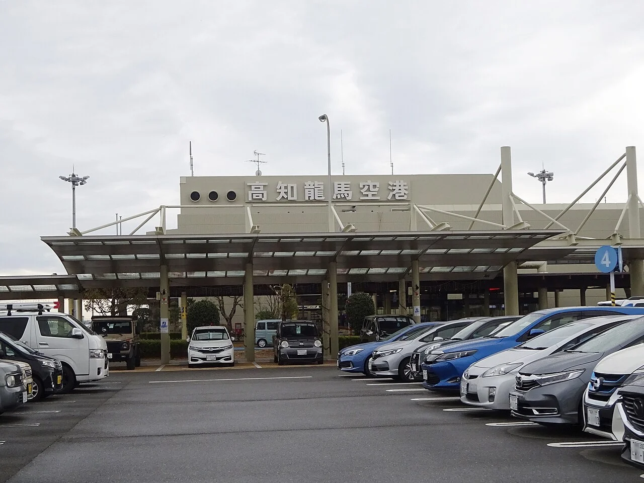
Find pickup locations in the Kochi car rental listings. See the guides to driving permits in Japan and airport car rental pickup before booking.
Frequently asked questions
Can I visit Muroto and Ashizuri together in one day?
The routes here allow a separate day for each side. If you have one day, choose either Muroto or Ashizuri and leave time for coastal walks.
Can I go inside Cape Muroto Lighthouse?
Visits normally cover the exterior. Park and walk to the lighthouse.
Can I use the observation deck at Cape Ashizuri?
It has been closed for renovation since 17:00 on 2 October 2026. A reopening date has not been set.
Can I drive right up to Hakusan Domon or Tatsukushi Coast?
Leave your car in a parking area and walk. The driving lines on the map do not connect to the walking points at Hakusan Domon or Tatsukushi Coast.
Where can I stop on a rainy day?
SATOUMI at Tatsukushi opens daily, 9:00–17:00. During heavy rain or strong winds, check restrictions on the roads you plan to use.
Nearby areas and guides
Sources & verification
Last verified: 2026-10-27
- Kochi Visitors and Convention Association (official page, in Japanese) · 2026-10-27
- Kochi Visitors and Convention Association (official page, in Japanese) · 2026-10-27
- Kochi Visitors and Convention Association (official page, in Japanese) · 2026-10-27
- Kochi Visitors and Convention Association (official page, in Japanese) · 2026-10-27
- Tosashimizu City (official page, in Japanese) · 2026-10-27
- Tosashimizu City (official page, in Japanese) · 2026-10-27
- Tosashimizu City (official page, in Japanese) · 2026-10-27
- Tosashimizu City (official page, in Japanese) · 2026-10-27
- Kochi Prefecture tourism campaign (official page, in Japanese) · 2026-10-27
- Tosashimizu City (official page, in Japanese) · 2026-10-27
- Kochi Visitors and Convention Association (official page, in Japanese) · 2026-10-27
- Tosashimizu City (official page, in Japanese) · 2026-10-27
- Tosashimizu City (official page, in Japanese) · 2026-10-27
- SATOUMI Aquarium (official page, in Japanese) · 2026-10-27
- SATOUMI Aquarium (official page, in Japanese) · 2026-10-27
- Tosashimizu City (official page, in Japanese) · 2026-10-27
- Kochi Visitors and Convention Association (official page, in Japanese) · 2026-10-27
- Kiramesse Muroto (official page, in Japanese) · 2026-10-27
- Kiramesse Muroto (official page, in Japanese) · 2026-10-27
- Kochi Visitors and Convention Association (official page, in Japanese) · 2026-10-27
- Mejika no Sato Tosashimizu (official page, in Japanese) · 2026-10-27
- Kochi Visitors and Convention Association (official page, in Japanese) · 2026-10-27
- Bios Ogata Hinataya (official page, in Japanese) · 2026-10-27
- MLIT Shikoku Regional Development Bureau (official page, in Japanese) · 2026-10-27
- Ministry of Land, Infrastructure, Transport and Tourism (MLIT) (official page, in Japanese) · 2026-10-27
- MLIT Road Information System (official page, in Japanese) · 2026-10-27
- Mejika no Sato Tosashimizu (official page, in Japanese) · 2026-10-27
- OpenStreetMap (map positions and route; © OpenStreetMap contributors, ODbL; route calculated with OSRM) · 2026-10-27
- Japan Meteorological Agency (official page, in Japanese) · 2026-10-27
- ENEOS (official page, in Japanese) · 2026-10-27
- Kochi Prefecture (official page, in Japanese) · 2026-10-27
- National Astronomical Observatory of Japan (official page, in Japanese) · 2026-10-27
- Japan Meteorological Agency (official page, in Japanese) · 2026-10-27
- OpenStreetMap (map positions and route; © OpenStreetMap contributors, ODbL; route calculated with OSRM) · 2026-10-27