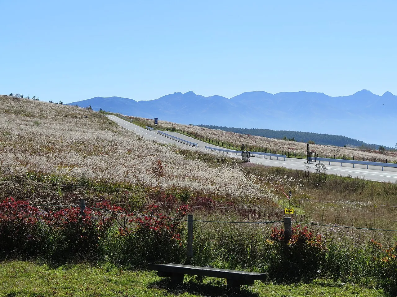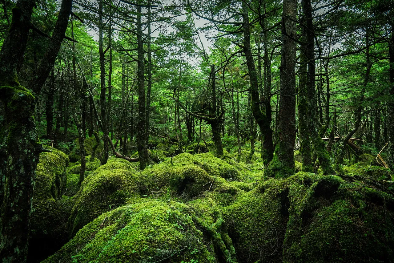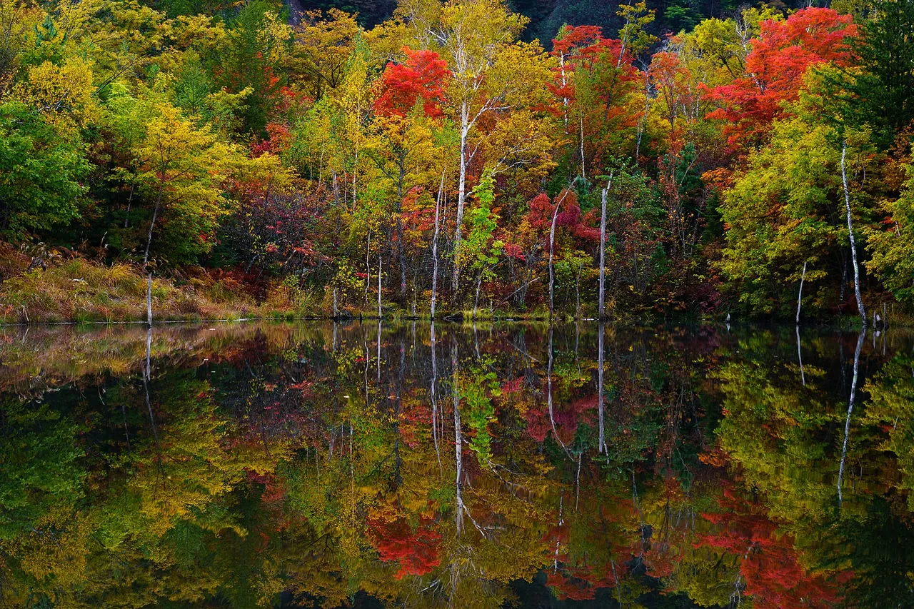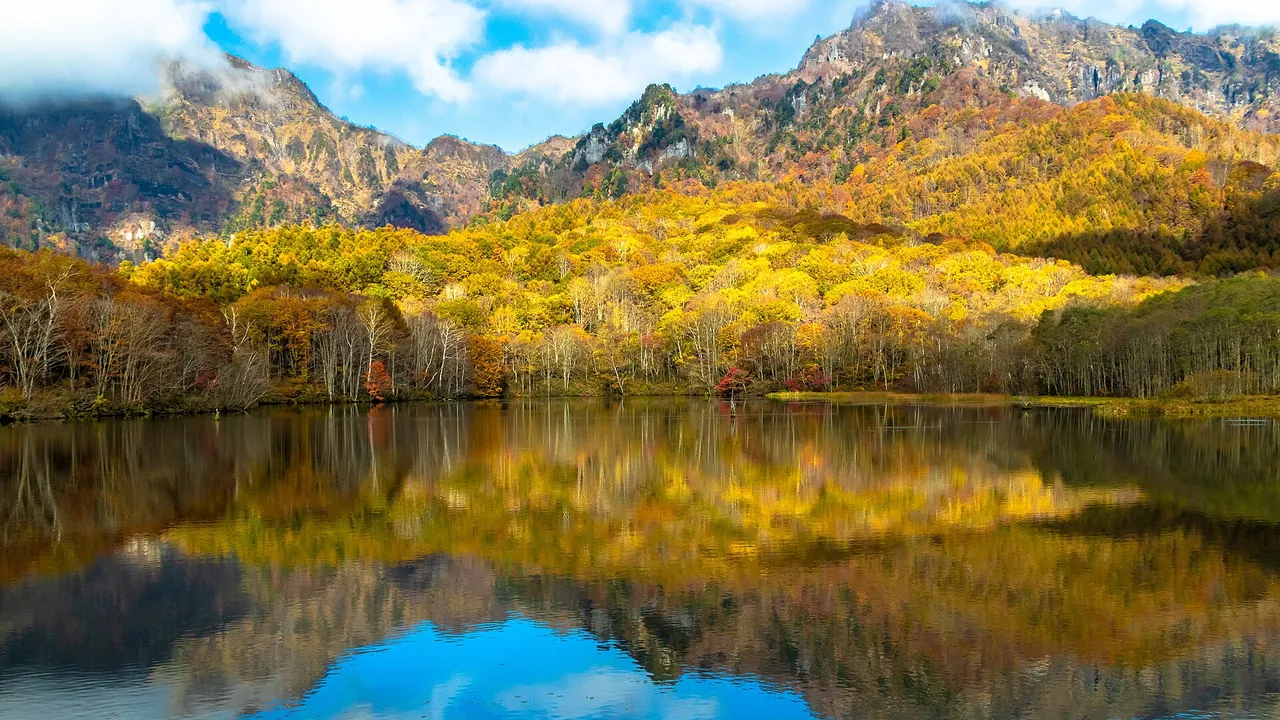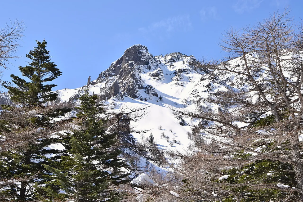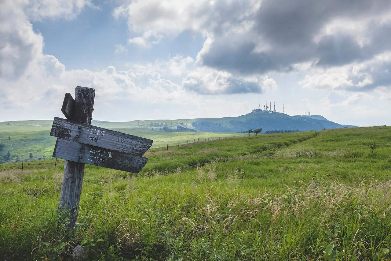
Utsukushigahara is a plateau about 2,000 m above sea level, spread across Matsumoto, Ueda and Nagawa in Nagano Prefecture. Its highest point, Ogato, stands at 2,034 m, and the plateau forms the northern end of Yatsugatake-Chushin Kogen Quasi-National Park.
Ordinary cars cannot enter the plateau top at any time of year. You can drive only to the car parks at its edges, and the road you take depends on whether you are heading for Ogato or the museum.
Utsukushigahara at a glance
| Item | Details |
|---|---|
| Location | Matsumoto, Ueda and Nagawa, Nagano Prefecture |
| Elevation | About 2,000 m; the highest point, Ogato, is 2,034 m |
| Cars on the plateau top | Ordinary cars and bicycles cannot enter at any time of year; you walk |
| Car parks you can drive to | Matsumoto side: Utsukushi Terrace and the Utsukushigahara Nature Conservation Centre (free). Venus Line side: Utsukushigahara Open-Air Museum and Michi-no-Eki Utsukushigahara Kogen, a roadside station (800 spaces, free), and the Nagawa town car park (73 spaces) |
| Winter closure | 11:00 on 18 November 2026 to 11:00 on 20 April 2027, scheduled. In winter, Prefectural Route 178 on the Nagawa side reaches the Nagawa town car park |
| Facility seasons | The museum and Utsukushi Terrace open through 3 November; the roadside station through 15 November. Utsukushi Terrace has closing days, mainly Wednesdays and some Tuesdays, with none in November |
Map and car parks you can reach
- 1Nature centre (car park)
- 2Michi-no-eki (car park)
- 3Ogato
- 4Ogahana
- 5Utsukushi Tower
The two roads do not meet on the plateau; walk 100–120 minutes between 1 and 2
The map could not be loaded. Use the junction-by-junction directions below.
Two roads climb to Utsukushigahara, one from the Matsumoto side and one from the Venus Line side. They do not connect on the plateau. Choose the car park nearest where you want to go.
| Where you want to go | Car park | Road up |
|---|---|---|
| Ogato and Ogahana | Utsukushi Terrace and the Nature Conservation Centre (free) | Utsukushigahara Skyline from central Matsumoto via Lake Misuzu |
| Utsukushigahara Open-Air Museum and Mt Ushibuse | Michi-no-Eki Utsukushigahara Kogen (800 spaces, free) | The Venus Line from Wada Pass and Tobira Pass, or from Takeshi in Ueda |
| Utsukushi-no-to tower | Nagawa town car park (73 ordinary cars, 5 large vehicles) | The Venus Line, or Prefectural Route 178 from Wada-juku |
From the Matsumoto-side car park to the roadside station is a walk of 100–120 minutes via Ogato and Utsukushi-no-to. Plan to park at one end and walk out and back across the plateau.
Sights and walking times
Walk to Ogato and Ogahana from the Matsumoto side
Ogato (2,034 m) is the highest point on Utsukushigahara. Walk from the Nature Conservation Centre on the Matsumoto side. Reaching Utsukushi-no-to via Ogato takes 70–90 minutes. Ogahana (2,008 m) is about 20 minutes on foot from Ogato.
Height differences on the plateau are no more than about 200 m, but the paths rise and fall, and some edges drop away as cliffs. Wear comfortable walking shoes.
Nagawa town car park is closest to Utsukushi-no-to
The closest car park to Utsukushi-no-to is the Nagawa town car park (73 ordinary cars, 5 large vehicles). It has no toilets; the nearby Yamamoto-goya Furusatokan has paid toilets (¥100 per use).
Refrain from sleeping in your car or occupying a space for a long time. You may not park outside the marked bays, in the aisles or on the road. When it is busy, follow the attendants' directions.
Take a break at the museum and roadside station
Utsukushigahara Open-Air Museum and Michi-no-Eki Utsukushigahara Kogen stand at the end of the Venus Line. The car park has 800 spaces and is free.
The museum opens 09:00–17:00, with last admission at 16:30. Admission is ¥1,000 for junior-high-school age and above. The roadside station also opens 09:00–17:00 and has no closing days during its season. Refrain from using its car park for an overnight stay; a short nap is fine.
No pets on the pasture paths
Since fiscal 2026, pets other than assistance dogs have not been allowed inside the pasture or on the footpaths along it. Pets may enter the museum's outdoor sculpture grounds.
Open seasons and restrictions
Most roads close from 18 November
This winter, the Venus Line (Yashima Highland–Wada Pass–Utsukushigahara), the road from Takeshi in Ueda and the Matsumoto-side road from Lake Misuzu to the Nature Conservation Centre are scheduled to close from 11:00 on 18 November 2026 to 11:00 on 20 April 2027. The start and end times can change with the weather and snow clearing.
In winter you can drive only as far as the Nagawa town car park, on Prefectural Route 178 from Wada-juku in Nagawa. Large vehicles cannot use this road. It has long, steep, shaded slopes, so you need studless winter tyres or chains.
The Matsumoto road via Sanjiro and Tobira Pass is closed
The road from central Matsumoto through Sanjiro and up to the Venus Line at Tobira Pass (the Yomogikoba forest road, also called the Azalea Line) has been closed all day since 19 October 2026 and will stay closed until the winter closure ends. The closed section runs from about 1 km beyond Sanjiro Ikoi-no-Hiroba to Tobira Pass. You can still reach Sanjiro Ikoi-no-Hiroba.
To reach the museum side from Matsumoto, go round by Route 142 and Wada Pass from the Okaya IC side. You can also park at the Nature Conservation Centre on the Matsumoto side and walk.
Roadworks on the Venus Line and the Takeshi road
Prefectural Route 460 from Wada Pass towards Utsukushigahara (Wada, Nagawa) has alternating one-way traffic for roadworks from 08:30 to 17:00, excluding Sundays and public holidays. This runs from 7 September 2026 until the winter closure begins.
Prefectural Route 464, which climbs from Takeshi in Ueda, is closed by rockfall between Takeshi Pass and Route 254. The section from Takeshi Tourist Centre to the museum and roadside station remains open.
Best seasons and crowds
| Time | Highlights |
|---|---|
| 25 April | Season-opening ceremony in front of Utsukushi-no-to |
| June–July | Renge-tsutsuji azaleas |
| May–September | Alpine plants, about 200 species across the plateau |
| Summer | Grazing cattle |
| Autumn | Autumn colours around Ogahana and the Alps viewpoint |
| Winter | Rime ice at viewpoints, though you can drive only as far as the Nagawa town car park |
A sea of cloud can appear in the early morning, depending on the weather. At 2,000 m it gets cold in the morning and evening even in summer, so bring an extra layer.
Getting there and fuel
| Starting point | Destination | Approximate time |
|---|---|---|
| Okaya IC, Nagano Expressway | Museum, via Route 142, Wada Pass and Tobira Pass | About 60 minutes |
| Suwa IC, Chuo Expressway | Museum, via Lake Shirakaba, Kirigamine and the Venus Line | About 90 minutes |
| Tobu-Yunomaru IC, Joshin-etsu Expressway | Museum, via Takeshi Tourist Centre | About 70 minutes |
| Matsumoto IC, Nagano Expressway | Nature Conservation Centre, via Lake Misuzu | About 75 minutes |
The road from Matsumoto IC through Sanjiro to the museum is not passable at present. Refuel in the towns below before you climb to the plateau.
If you don't have a car
The summer direct bus from Matsumoto Station to the Nature Conservation Centre ended for 2026 on 12 October.
To explore by car, use the Nagano rental-car listings to find a pickup location near Matsumoto Station. Before booking, check the driving-permit requirements.
Frequently asked questions
Can I drive to Ogato?
No. Ordinary cars cannot enter the plateau top at any time of year. Park at the Nature Conservation Centre on the Matsumoto side and walk.
Are the museum and Ogato connected by road?
No. The walk between the two car parks takes 100–120 minutes.
Can I visit in winter?
In winter, Prefectural Route 178 on the Nagawa side reaches the Nagawa town car park. The other roads are scheduled to close from 11:00 on 18 November 2026 to 11:00 on 20 April 2027, and the times can change with the weather and snow clearing.
Do I have to pay for parking?
The museum and roadside station car park and the Utsukushi Terrace car park on the Matsumoto side are free.
Until when is Utsukushigahara Open-Air Museum open?
Through 3 November in 2026. Michi-no-Eki Utsukushigahara Kogen stays open through 15 November.
Related guides
Sources & verification
Last verified: 2026-11-02
All sources (22)
- Matsumoto City (official page, in Japanese) · 2026-11-02
- Nagawa Town (official page, in Japanese) · 2026-11-02
- Nagano Prefecture Nature Conservation Division (official page, in Japanese) · 2026-10-28
- Nagano Prefecture (official page, in Japanese) · 2026-10-28
- Matsumoto City official tourism site (official page, in Japanese) · 2026-10-28
- Matsumoto City official tourism site (official page, in Japanese) · 2026-10-28
- Utsukushigahara Open-Air Museum (official page, in Japanese) · 2026-11-02
- Utsukushigahara Open-Air Museum (official page, in Japanese) · 2026-10-24
- Utsukushigahara Open-Air Museum (official page, in Japanese) · 2026-10-28
- Utsukushigahara Open-Air Museum (official page, in Japanese) · 2026-10-28
- Utsukushigahara roadside station (official page, in Japanese) · 2026-11-02
- Utsukushigahara roadside station (official page, in Japanese) · 2026-10-28
- Nagano Prefecture, Ueda Construction Office (official page, in Japanese) · 2026-11-02
- Nagano Prefecture, Ueda Construction Office (official page, in Japanese) · 2026-11-02
- Nagano Prefecture, Matsumoto Construction Office (official page, in Japanese) · 2026-11-02
- Nagano Prefecture, Suwa Construction Office (official page, in Japanese) · 2026-10-28
- Nagawa Town Tourism Association (official page, in Japanese) · 2026-10-28
- Go NAGANO (official page, in Japanese) · 2026-10-28
- OpenStreetMap (map positions and route; © OpenStreetMap contributors, ODbL; route calculated with OSRM) · 2026-10-24
- Nagano Prefecture (official page, in Japanese) · 2026-11-02
- Utsukushigahara Kogen direct bus (official page, in Japanese) · 2026-10-28
- Utsukushigahara Tourism Federation (official page, in Japanese) · 2026-11-02