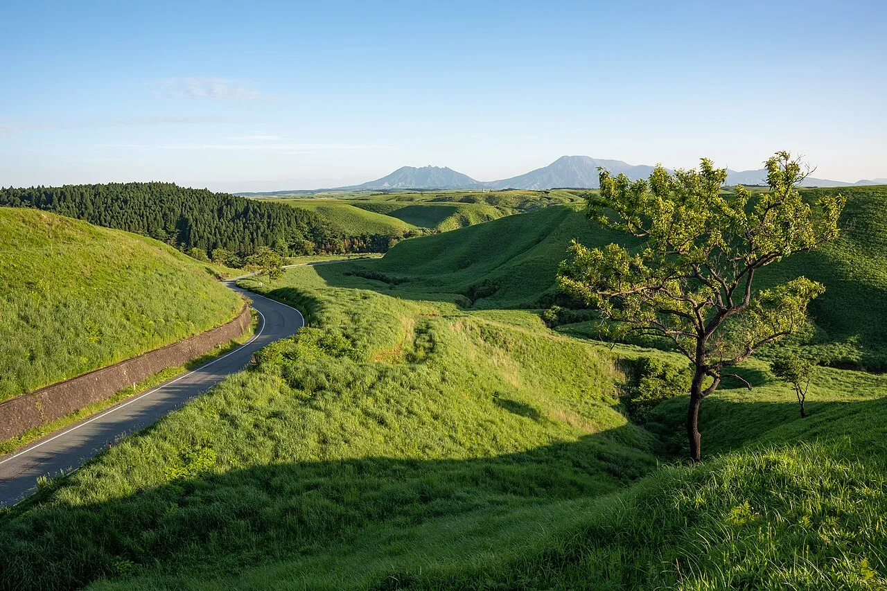
The Yufuin, Beppu and Eastern Yamanami area sits in central Oita Prefecture, climbing over 1,000 m in elevation from coastal National Route 10 (the Betsudai Highway) along Beppu Bay and the steaming hot-spring districts of Kannawa and Myoban, across Prefectural Route 11 (the Yamanami Highway) on the flanks of Mount Tsurumi (1,375 m) and Mount Yufu, and down into the Yufuin basin and eastern Kokonoe Town.
This guide follows a full-day drive from Michi-no-Eki Tanourara on Route 10 via Beppu's hot-spring steam viewpoints and hells, over Prefectural Route 11 past Mount Tsurumi, Sagiridai and Lake Kinrin to Michi-no-Eki Yufuin, along with side loops to Tsukahara Kogen and the Kokonoe "Yume" Grand Suspension Bridge. Every main road, car park and winter restriction is listed below.
Map of the Yufuin and Beppu area
- Views and nature
- Roadside stations
- 1Michi-no-Eki Tanourara
- 2Yukemuri Observatory
- 3Jumonjibaru Observatory
- 4Myoban Onsen (Yunosato)
- 5Beppu Hells (Umi Jigoku)
- 6Tsukahara Onsen Kakonoizumi (Mt. Garan)
- 7Mount Tsurumi (Beppu Ropeway)
- 8Kijima Kogen Plateau
- 9Mount Yufu Front Trailhead
- 10Sagiridai Viewpoint
- 11Lake Kinrin & Yunotsubo Kaido
- 12Michi-no-Eki Yufuin
- 13Kokonoe "Yume" Grand Suspension Bridge
- 14Michi-no-Eki Jion-no-Taki Kusu
Line: 1 → 2 → 3 → 4 → 5 → 7 → 8 → 9 → 10 → 11 → 12
The map could not be loaded. Use the junction-by-junction directions below.
The line follows the full-day route below, "First visit: one day from Beppu Bay over the eastern Yamanami to Yufuin". Numbers mark the stops: green for scenery and nature, blue for roadside stations. Tap a marker to see its name.
Recommended drives
First visit: one day from Beppu Bay over the eastern Yamanami to Yufuin
Start on coastal National Route 10 (the Betsudai Highway) at Michi-no-Eki Tanourara, which opened in July 2024, and follow Beppu Bay north into Kannawa for Yukemuri Observatory. Climb National Route 500 up to Jumonjibaru Observatory for a wide panorama over Beppu Bay and the city, then loop back down to Myoban Onsen (Myoban Yunosato) and the Beppu Hells (the 5 Kannawa hells including Umi Jigoku).
In the afternoon, turn onto Prefectural Route 11 (the Yamanami Highway) and stop in order at the Beppu Ropeway on Mount Tsurumi (about 10 minutes between Kogen and Sanjo Stations), Kijima Kogen Plateau, the Mount Yufu Front Trailhead and Sagiridai Viewpoint overlooking the Yufuin basin, before strolling around Lake Kinrin and Yunotsubo Kaido and finishing at Michi-no-Eki Yufuin on Route 210. Drivers arriving from Yufuin, Fukuoka or Hita can follow the same route in reverse down to Beppu Bay.
The route is about 52 km, with around 1 hour 15 minutes of driving. Distance and time are calculated from map data and exclude traffic and sightseeing time. Every section on the route is toll-free. On crisp autumn and winter mornings when mist fills Sagiridai and Lake Kinrin, start on the Yufuin side around sunrise and drive east into Beppu instead.
Adding Tsukahara Kogen (Mount Garan) or the Kokonoe "Yume" Grand Suspension Bridge
To add a steaming volcanic crater and strongly acidic hot spring, head west from Jumonjibaru Observatory via Route 500 and Prefectural Route 616 to Tsukahara Onsen Kakonoizumi on Mount Garan (about 13 km, about 13 minutes of driving), then rejoin Sagiridai via Prefectural Routes 616 and 11 (about 10 km, about 15 minutes; about 23 km and 27 minutes in total). With an ETC-equipped car, Tsukahara Onsen is about 5 minutes from Yufudake Smart IC on the Oita Expressway.
To continue west from Michi-no-Eki Yufuin into Kokonoe, take Route 210 over Mizuwake Pass and turn onto Prefectural Route 40 (Iida Kogen-Nakamura Line) to reach the 390 m-long, 173 m-high Kokonoe "Yume" Grand Suspension Bridge in about 24 km and 20 minutes of driving. Dropping back to Route 210 brings you to Michi-no-Eki Jion-no-Taki Kusu in another 27 km and 22 minutes.
Central Yufuin parking and avoiding holiday queues
Lake Kinrin and Yunotsubo Kaido (the shopping street stretching about 800 m from Shirataki Bridge) have no free public car park, so visitors use nearby paid lots. Yufu City's official Yufuin Parking Map (September 2026 edition) lists 40 paid passenger-car parks across the basin, including Kinrinko Iriguchi-mae Car Park (41 spaces) and Times Yufuin Kinrinko (30 spaces), No. 2 (24 spaces) and No. 3 (10 spaces) near the lake, plus NPC Yufuin Yunotsubo Kaido Parking (60 spaces) and JR Yufuin Station Car Park (142 spaces) along the street and station.
Over the May and September holiday periods, Prefectural Route 216 from Yufuin IC into town regularly sees 1–2 hour queues. On peak days, check the live traffic signage and pick up a parking map at Michi-no-Eki Yufuin opposite Yufuin IC, park on the outskirts at Miyajiri Parking (140 spaces, about 20 minutes on foot to the centre), or enter from the east via Yufudake Smart IC (ETC only) and Prefectural Route 11.
Roads you can drive
| Road | What to expect | Length and cost | Hours and restrictions |
|---|---|---|---|
| Oita Expressway (Beppu IC, Yufudake Smart IC, Yufuin IC, Kokonoe IC) | Main expressway linking Oita Airport, Fukuoka and Kumamoto directly with each base | Yufuin IC–Beppu IC is 23.9 km. Yufudake Smart IC–Yufuin IC (9.0 km) ordinary car standard toll ¥400; Yufudake Smart IC–Beppu IC (14.9 km) ¥560 | Yufudake Smart IC is for ETC-equipped vehicles up to 12 m long only (24 hours; Yufudake PA toilets and facilities cannot be used when entering or exiting). Year-round dense-fog speed limits and closures, plus winter-tyre regulations and snow closures in winter |
| Prefectural Route 11, Beppu-Ichinomiya Line (Eastern Yamanami Highway) | Highland road linking Beppu (Kannawa, Mount Tsurumi, Kijima Kogen) with the foot of Mount Yufu, Sagiridai, Yufuin and Mizuwake Pass | Beppu IC–Umi Jigoku about 3 km; Beppu IC–Mount Yufu Front Trailhead about 12 km; free (made toll-free in June 1994) | Open year-round, but sudden snow and icy surfaces from December to March require winter tyres or chains |
| National Route 10 (Betsudai Highway) | Coastal trunk road of 2–3 lanes each way along Beppu Bay between central Oita, Michi-no-Eki Tanourara and central Beppu | Free | Easy coastal driving year-round, though Tateishi Pass further north in Yamaga-machi, Kitsuki City is a preventive closure section during heavy snow |
| National Route 210 (Yufuin–Mizuwake Pass–Kokonoe and Kusu) | Trunk road climbing from the Yufuin basin (Michi-no-Eki Yufuin) over Mizuwake Pass (about 700 m elevation) towards Kokonoe IC and Jion Falls | Free | During heavy snow, preventive road closures shut the Mizuwake Pass section between Seven-Eleven Kokonoe IC (km post 78.4) and Kawakita Intersection in Yufuin (km post 93.2) |
| National Route 500 (Kannawa–Myoban Onsen–Jumonjibaru) | Mountain national route climbing from Kannawa past Myoban Bridge and Myoban Onsen to Jumonjibaru Observatory and Ajimu | About 3 km from Myoban to Jumonjibaru Observatory; free | Steep gradients and curves; prone to snow and road ice between Myoban and Jumonjibaru in winter |
| Prefectural Route 616 (Tsukahara-Amama Line) | Highland route linking Jumonjibaru / Route 500 and Yufudake Smart IC across Tsukahara Kogen and Mount Garan to near Sagiridai | Free | Runs at 600–800 m elevation with narrow stretches; watch for snow and ice in winter |
| Prefectural Route 216 (Beppu-Yufuin Line) | Connects Yufuin IC and Route 210 through central Yufuin Onsen to join Prefectural Route 11 below Sagiridai | Free | Prone to 1–2 hour traffic queues between Yufuin IC and town over May and September holidays |
Places to stop
Views and nature
Numbers match the map.
| No. | Place | Parking | What to know |
|---|---|---|---|
| 2 | Yukemuri Observatory | Free parking: 8 spaces (including 1 accessible space) | Overlooks the rising hot-spring steam of Kannawa Onsen backed by Mount Tsurumi and Mount Ogi. Open 8:00–21:00 (free admission), with steam illumination on Saturdays, Sundays and holidays from 19:00 to 21:00 |
| 3 | Jumonjibaru Observatory | Free parking: 8 ordinary cars, 1 large bus | About 3 km up Route 500 from Myoban, with sweeping daytime and night views over Beppu, Beppu Bay, Oita City, the Kunisaki Peninsula and Shikoku. Open 24 hours; free |
| 4 | Myoban Onsen (Myoban Yunosato) | Free parking: 80 spaces | Sulphur-spring village lined with thatched Yunohana huts. Open-air rock bath and indoor bath 10:00–20:00 (last entry 19:00; adults ¥800, ages 4–elementary ¥400); private family baths 10:00–19:00 (last entry 18:00; from ¥2,000 per hour); open daily |
| 5 | Beppu Hells (Umi Jigoku and all 7 hells) | Free parking: 615 spaces across all 7 hells (Umi Jigoku 230, Chinoike Jigoku 130, Tatsumaki Jigoku 80, etc.) | Open daily 8:00–17:00. Combined 7-hell ticket (valid 2 days): adults (high-school age and over) ¥2,400, children (elementary and junior high) ¥1,200. Five hells cluster in Kannawa, while Chinoike and Tatsumaki Jigoku sit about 3 km away |
| 6 | Tsukahara Onsen Kakonoizumi (Mount Garan) | Free parking | Strongly acidic hot spring and steaming crater walk halfway up Mount Garan (Volcanic Alert Level 1). Crater viewing: junior-high age and over ¥200, elementary ¥100; indoor bath ¥500, open-air bath ¥600, family bath from ¥2,000. From December, hours are 10:00–17:30 (reception closes 17:00); closed 31 December–2 January |
| 7 | Mount Tsurumi (Beppu Ropeway) | Free parking: 250 ordinary cars, 3 large buses | A 101-passenger gondola climbs from Kogen Station (500 m) to Sanjo Station (1,300 m) in about 10 minutes below the 1,375 m summit. From 15 March to 14 November: 9:00–17:30 (last ascent 17:00); from 15 November to 14 March: 9:00–17:00 (last ascent 16:30). Return fare: junior-high age and over ¥1,800, seniors 70+ ¥1,700, ages 4–elementary ¥900 (one-way ¥1,200 / ¥600) |
| 8 | Kijima Kogen Plateau (Kijima Kogen Park) | Paid parking: 2,000 ordinary cars (¥500/day), 100 motorcycles (¥100), 30 buses/campers (¥1,000) | Highland resort between Mount Tsurumi and Mount Yufu. Park admission: adults (junior high–age 59) ¥1,500, children (ages 4–elementary) ¥600, seniors (ages 60–69) ¥600, ages 70+ free (check the official calendar for closed days) |
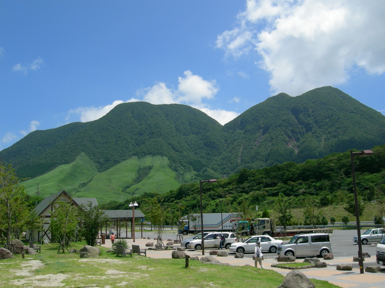
| 9 | Mount Yufu Front Trailhead | Free parking: 30 spaces (24 hours, toilets, no large buses) plus 70 paid spaces opposite (ordinary cars ¥500) | Open grassland trailhead right on Prefectural Route 11 looking straight up at twin-peaked Mount Yufu. The East and West Trailheads have no parking |
| 10 | Sagiridai Viewpoint | Free parking | Roadside viewpoint on Prefectural Route 11 descending from the Mount Yufu trailhead into the Yufuin basin; open daily. Known for early-morning mist blanketing the basin in autumn and winter |
| 11 | Lake Kinrin and Yunotsubo Kaido | Use nearby paid car parks (40 lots across the basin: Kinrinko Iriguchi-mae 41, Times Kinrinko 30 / No. 2 24 / No. 3 10, NPC Yunotsubo Kaido 60, JR Yufuin Station 142, etc.) | Free lakeside stroll where morning mist rises from the water in autumn and winter; the 800 m Yunotsubo Kaido lane from Shirataki Bridge is busy with pedestrians by midday |
| 13 | Kokonoe "Yume" Grand Suspension Bridge | Free parking: Nakamura side 229 ordinary cars and 37 large buses; Kitagata side 46 ordinary cars | Pedestrian suspension bridge 390 m long and 173 m high at 777 m elevation. Open 8:30–17:00 in January–June and November–December (tickets until 16:30), and 8:30–18:00 in July–October (tickets until 17:30). Admission: junior-high age and over ¥500, elementary ¥200 (rising on 1 January 2027 to ¥1,000 and ¥500) |
Roadside stations
| No. | Roadside station | Parking | What to know |
|---|---|---|---|
| 1 | Michi-no-Eki Tanourara | Free parking: 29 large, 236 ordinary (265 spaces total, plus 5 accessible spaces); 24 hours | Opened July 2024 on Route 10 (about 15 minutes from Oita IC). Open daily: building 9:00–21:00, Tanoura Ichiba farm shop 9:00–18:00, dining 11:00–21:00 (last order 20:30). Preserved Betsudai tramcar indoors, second-floor bay deck and 3 rapid EV chargers |
| 12 | Michi-no-Eki Yufuin | Free parking: 13 large, 90 ordinary (including 3 accessible spaces); 24 hours | On Route 210 opposite Yufuin IC. Open daily: shop and information desk around 9:00–17:00 (until 18:00 in summer). Has 24-hour toilets, digital road-traffic signage, EV charging and printed Yufuin parking maps |
| 14 | Michi-no-Eki Jion-no-Taki Kusu | Free parking: 7 large, 30 ordinary (including 2 accessible spaces); 24 hours | On Route 210 beside two-tiered Jion Falls. Open 9:00–17:00 (9:00–16:30 in December–February); closed 29 December–3 January. Has 24-hour toilets and an information corner |
Best seasons and crowds
| Season | Highlights and cautions |
|---|---|
| April–June | Fresh green grasslands around Mount Yufu, Kijima Kogen and Mizuwake Pass. Over the May Golden Week holidays, Prefectural Route 216 from Yufuin IC into town can back up for 1–2 hours |
| July–September | Cooler highland driving between 500 m and 1,300 m across Mount Tsurumi, Kijima Kogen and Tsukahara Kogen. Arrive early or detour via Prefectural Route 11 or Yufudake Smart IC on September holiday weekends |
| Mid-October–November | Autumn foliage descends from the summit of Mount Tsurumi to the lower slopes (as of 11 November 2026, summit leaves have fallen and mid-slope to foot are at peak colour). Morning mist forms often at Sagiridai and Lake Kinrin on cold mornings |
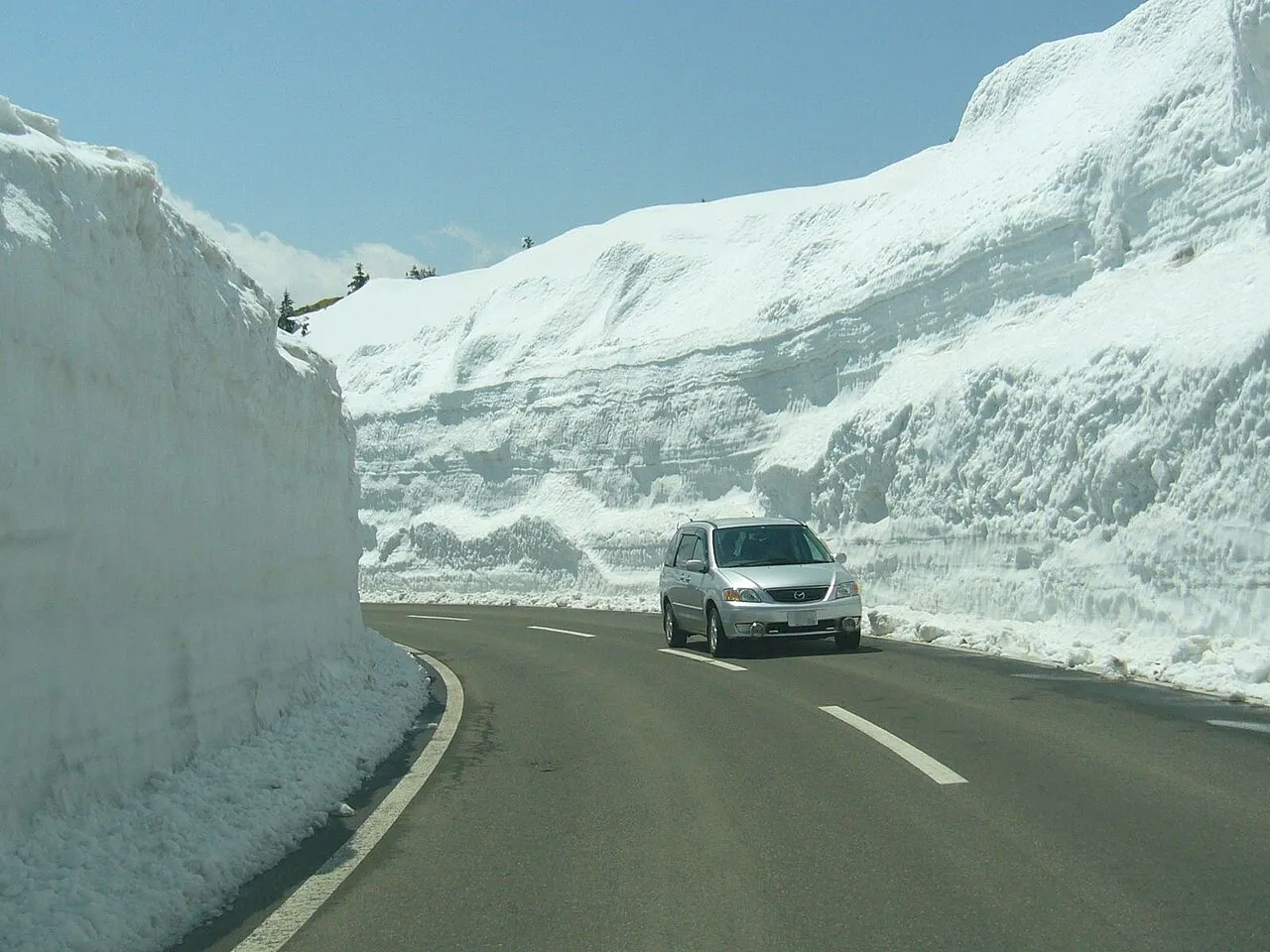
| December–March | Rime ice on Mount Tsurumi and crisp hot-spring steam. Snow and road ice affect Prefectural Route 11, Route 500, Prefectural Route 616, the Oita Expressway and Route 210 at Mizuwake Pass—fit winter tyres or carry chains and finish mountain driving before sunset |
Sunrise is at 6:42 and sunset at 17:13 on 13 November 2026, sunrise is at 6:58 and sunset at 17:06 on 30 November, and sunrise is at 7:09 and sunset at 17:08 on 15 December (Oita).
Roads and restrictions checked on 13 November 2026
- As of 13 November 2026, no long-term full road closures are announced on Prefectural Route 11 (Eastern Yamanami Highway), National Route 10 (Betsudai Highway), Route 210, Route 500, Prefectural Route 616 or Prefectural Route 216.
- On the Oita Expressway, dense fog causes speed restrictions or closures throughout the year, and Yufudake Smart IC accepts ETC-equipped vehicles up to 12 m long only.
- During heavy snow, preventive road closures apply on Route 210 between Seven-Eleven Kokonoe IC (km post 78.4) and Kawakita Intersection in Yufuin (km post 93.2, covering Mizuwake Pass) and on Route 10 near Tateishi Pass.
- The Beppu Ropeway switches to winter hours on 15 November (9:00–17:00, last ascent 16:30) and suspends service in high winds or severe weather. The Kokonoe "Yume" Grand Suspension Bridge restricts entry when sustained winds reach 15 m/s or more, or during dense fog or heavy-snow warnings.
- Japan Meteorological Agency volcanic alert status is Level 1 for Mount Tsurumi and Mount Garan, Level 1 for the Kuju Mountains, and an Eruption Forecast (be mindful that it is an active volcano) for Mount Yufu. Tsukahara Onsen Kakonoizumi moves to winter hours from December (10:00–17:30, reception until 17:00) and closes from 31 December to 2 January.
Getting there and fuel
| Starting point | Approximate drive |
|---|---|
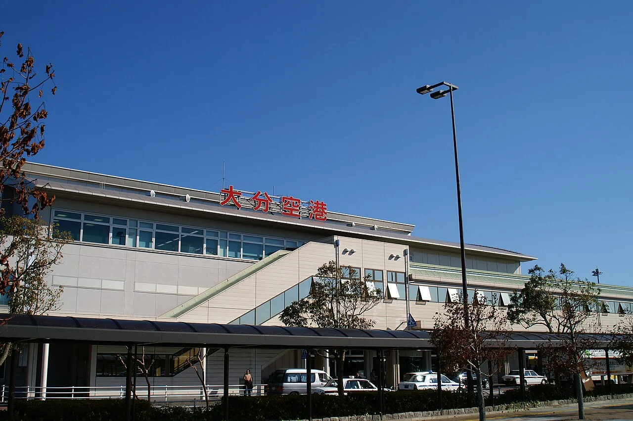
| Oita Airport | Via the Oita Airport Road (toll-free section to Hayami IC) and Oita Expressway: Beppu IC about 40 minutes, Yufuin IC about 55 minutes, Kokonoe IC about 70 minutes |
| Oita IC and central Oita | About 15 minutes by car from Oita IC along Route 10 (Betsudai Highway) to Michi-no-Eki Tanourara |
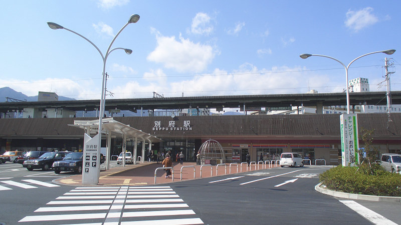
| Beppu IC and JR Beppu Station | From Beppu IC via Prefectural Route 11: about 3 km and 5 minutes to Umi Jigoku, and about 12 km west to the Mount Yufu Front Trailhead. From JR Beppu Station: about 20 minutes by car to Yukemuri Observatory |
| Yufudake Smart IC (ETC only) | About 5 minutes by car to Tsukahara Onsen Kakonoizumi (about 20 minutes from Yufuin IC, or about 25 minutes from Beppu IC) |
| Fukuoka IC and Hakata | Direct access via the Oita Expressway to Yufuin IC and Yufudake Smart IC (Yufudake Smart IC–Fukuoka IC ordinary car standard toll ¥3,310) |
There are no petrol stations along the mountain stretches of Prefectural Route 11 over Mount Tsurumi, Kijima Kogen and Sagiridai or across Jumonjibaru and Tsukahara Kogen, and none of the 3 roadside stations sells fuel. Fill up along Route 10 in Beppu, along Route 210 in the Yufuin basin, or at Beppu-wan Service Area on the Oita Expressway (ENEOS / West Japan Usami open 24 hours daily on both bounds) before climbing into the highlands. EVs can charge at Michi-no-Eki Tanourara (3 rapid chargers) and Michi-no-Eki Yufuin.
If you don't have a car
If you fly in, compare branches and shuttle pickup in the Oita Airport car rental comparison; if you arrive by train, check the Beppu Station car rental comparison or the prefecture-wide Oita car rental comparison. Drivers starting from Fukuoka can also compare options at Fukuoka Airport and Hakata Station. Before booking, review the driving-permit requirements in Japan and how airport car rental pickup works.
Frequently asked questions
What is the best one-day driving route for Yufuin and Beppu?
Start at Michi-no-Eki Tanourara on Route 10, visit Yukemuri Observatory, Jumonjibaru Observatory, Myoban Onsen and the Beppu Hells (Umi Jigoku) in the morning, and take Prefectural Route 11 (the Yamanami Highway) in the afternoon past Mount Tsurumi (Beppu Ropeway), Kijima Kogen, the Mount Yufu Front Trailhead, Sagiridai, Lake Kinrin and Yunotsubo Kaido to Michi-no-Eki Yufuin. The route is about 52 km, with around 1 hour 15 minutes of driving.
Is parking free at Lake Kinrin and the Beppu Hells?
All 7 Beppu Hells have free car parks totalling 615 spaces (including 230 spaces at Umi Jigoku and 130 spaces at Chinoike Jigoku). Lake Kinrin and Yunotsubo Kaido have no free public car park—use one of the 40 paid car parks in the Yufuin basin, such as Kinrinko Iriguchi-mae (41 spaces), Times Kinrinko (30 spaces), No. 2 (24 spaces), No. 3 (10 spaces), NPC Yunotsubo Kaido (60 spaces) or JR Yufuin Station (142 spaces).
How do I avoid holiday traffic queues near Yufuin IC?
Over the May and September holidays, Prefectural Route 216 from Yufuin IC into central Yufuin often queues for 1–2 hours. With an ETC card, exit at Yufudake Smart IC or approach Yufuin from the east via Beppu IC and Prefectural Route 11 (the Yamanami Highway), or park on the edge of town at Miyajiri Parking (140 spaces, about 20 minutes on foot).
Can I drive the Yamanami Highway and Oita Expressway on ordinary tyres in winter?
From December to March, snow and icy surfaces bring winter-tyre regulations and closures to Prefectural Route 11 (Mount Tsurumi, Kijima Kogen and Sagiridai to Mizuwake Pass), Route 500 (Jumonjibaru), Prefectural Route 616 (Tsukahara Kogen) and the Oita Expressway, while heavy snow triggers preventive closures on Route 210 over Mizuwake Pass (km posts 78.4 to 93.2). Fit winter tyres or carry chains; see our winter road closures and equipment guide for details.
Can I visit the Tsukahara Onsen crater and Kokonoe "Yume" Grand Suspension Bridge without booking?
Yes, neither requires advance booking. At Tsukahara Onsen Kakonoizumi, crater entry costs ¥200 for junior-high age and over and ¥100 for elementary-school children, with winter hours from December of 10:00–17:30 (reception until 17:00; closed 31 December–2 January). The Kokonoe "Yume" Grand Suspension Bridge is about 24 km and 20 minutes of driving from Michi-no-Eki Yufuin, open 8:30–17:00 in November–December (tickets until 16:30), with admission of ¥500 for junior-high age and over and ¥200 for elementary children through 31 December 2026 (rising to ¥1,000 and ¥500 from 1 January 2027).
Nearby areas and guides
Sources & photo creditsLast verified 2026-11-13
- NEXCO West Japan (official page, in Japanese) · 2026-11-13
- Oita Airport (official page, in Japanese) · 2026-11-13
- ENEOS (official page, in Japanese) · 2026-11-13
- NEXCO West Japan (official page, in Japanese) · 2026-11-13
- Yufu City Official Tourism Site (YUFUINFO) (official page, in Japanese) · 2026-11-13
- NEXCO West Japan (iHighway) (official page, in Japanese) · 2026-11-13
- Oita Prefecture (Oita Disaster Prevention Portal) (official page, in Japanese) · 2026-11-13
- Tourism Oita (Oita Prefecture Official Tourism Site) (official page, in Japanese) · 2026-11-13
- Oita Prefecture (official page, in Japanese) · 2026-11-13
- MLIT Kyushu Regional Development Bureau (official page, in Japanese) · 2026-11-13
- Oita Prefecture (official page, in Japanese) · 2026-11-13
- Beppu Jigoku Association (official page, in Japanese) · 2026-11-13
- Ministry of the Environment (official page, in Japanese) · 2026-11-13
- MLIT Kyushu Regional Development Bureau (official page, in Japanese) · 2026-11-13
- Michi-no-Eki Tanourara (official page, in Japanese) · 2026-11-13
- MLIT Kyushu Regional Development Bureau (official page, in Japanese) · 2026-11-13
- Yufu City (official page, in Japanese) · 2026-11-13
- MLIT Kyushu Regional Development Bureau (official page, in Japanese) · 2026-11-13
- MLIT Kyushu Regional Development Bureau (official page, in Japanese) · 2026-11-13
- Beppu City Official Tourism Site (Beppu Tabi) (official page, in Japanese) · 2026-11-13
- Beppu City Official Tourism Site (Beppu Tabi) (official page, in Japanese) · 2026-11-13
- Myoban Yunosato (official page, in Japanese) · 2026-11-13
- Yufu City Official Tourism Site (YUFUINFO) (official page, in Japanese) · 2026-11-13
- Myoban Yunosato (official page, in Japanese) · 2026-11-13
- Yufu City (Traffic Detour and Yufuin Parking Map) (official page, in Japanese) · 2026-11-13
- Yufu City (Traffic Detour and Yufuin Parking Map) (official page, in Japanese) · 2026-11-13
- Yufu City (Traffic Detour and Yufuin Parking Map) (official page, in Japanese) · 2026-11-13
- Yufu City (Traffic Detour and Yufuin Parking Map) (official page, in Japanese) · 2026-11-13
- Kijima Kogen Park (official page, in Japanese) · 2026-11-13
- Umi Jigoku (official page, in Japanese) · 2026-11-13
- Chinoike Jigoku (official page, in Japanese) · 2026-11-13
- Beppu Jigoku Association (official page, in Japanese) · 2026-11-13
- Beppu Jigoku Association (official page, in Japanese) · 2026-11-13
- Beppu City Official Tourism Site (Beppu Tabi) (official page, in Japanese) · 2026-11-13
- Beppu City Official Tourism Site (Beppu Tabi) (official page, in Japanese) · 2026-11-13
- Japan Meteorological Agency (official page, in Japanese) · 2026-11-13
- Myoban Yunosato (official page, in Japanese) · 2026-11-13
- Beppu City Official Tourism Site (Beppu Tabi) (official page, in Japanese) · 2026-11-13
- Beppu Ropeway (official page, in Japanese) · 2026-11-13
- Beppu Ropeway (official page, in Japanese) · 2026-11-13
- Beppu Ropeway (official page, in Japanese) · 2026-11-13
- Beppu City Official Tourism Site (Beppu Tabi) (official page, in Japanese) · 2026-11-13
- Kijima Kogen Park (official page, in Japanese) · 2026-11-13
- Kijima Kogen Park (official page, in Japanese) · 2026-11-13
- Kijima Kogen Park (official page, in Japanese) · 2026-11-13
- Yufu City Official Tourism Site (YUFUINFO) (official page, in Japanese) · 2026-11-13
- Japan Meteorological Agency (official page, in Japanese) · 2026-11-13
- Yufu City (official page, in Japanese) · 2026-11-13
- Yufu City Official Tourism Site (YUFUINFO) (official page, in Japanese) · 2026-11-13
- Yufu City Official Tourism Site (YUFUINFO) (official page, in Japanese) · 2026-11-13
- Yufu City Official Tourism Site (YUFUINFO) (official page, in Japanese) · 2026-11-13
- Yufu City (Traffic Detour and Yufuin Parking Map) (official page, in Japanese) · 2026-11-13
- Kokonoe "Yume" Grand Suspension Bridge (official page, in Japanese) · 2026-11-13
- Kokonoe "Yume" Grand Suspension Bridge (official page, in Japanese) · 2026-11-13
- Kokonoe "Yume" Grand Suspension Bridge (official page, in Japanese) · 2026-11-13
- Kokonoe "Yume" Grand Suspension Bridge (official page, in Japanese) · 2026-11-13
- Kokonoe "Yume" Grand Suspension Bridge (official page, in Japanese) · 2026-11-13
- National Michi-no-Eki Liaison Association (official page, in Japanese) · 2026-11-13
- Michi-no-Eki Tanourara (official page, in Japanese) · 2026-11-13
- MLIT Kyushu Regional Development Bureau (official page, in Japanese) · 2026-11-13
- National Michi-no-Eki Liaison Association (official page, in Japanese) · 2026-11-13
- National Michi-no-Eki Liaison Association (official page, in Japanese) · 2026-11-13
- Michi-no-Eki Jion-no-Taki Kusu (official page, in Japanese) · 2026-11-13
- Beppu City Official Tourism Site (Beppu Tabi) (official page, in Japanese) · 2026-11-13
- Yufu City Official Tourism Site (YUFUINFO) (official page, in Japanese) · 2026-11-13
- Tsukahara Onsen Kakonoizumi (official page, in Japanese) · 2026-11-13
- Kokonoe "Yume" Grand Suspension Bridge (official page, in Japanese) · 2026-11-13
- Japan Meteorological Agency (official page, in Japanese) · 2026-11-13
- MLIT Kyushu Regional Development Bureau (official page, in Japanese) · 2026-11-13
- Michi-no-Eki Tanourara (official page, in Japanese) · 2026-11-13
- Beppu Jigoku Association (official page, in Japanese) · 2026-11-13
- MLIT Kyushu Regional Development Bureau (official page, in Japanese) · 2026-11-13
- Oita Prefecture (official page, in Japanese) · 2026-11-13
- Tsukahara Onsen Kakonoizumi (official page, in Japanese) · 2026-11-13
- Michi-no-Eki Tanourara (official page, in Japanese) · 2026-11-13
- National Michi-no-Eki Liaison Association (official page, in Japanese) · 2026-11-13
- National Michi-no-Eki Liaison Association (official page, in Japanese) · 2026-11-13
- Kokonoe "Yume" Grand Suspension Bridge (official page, in Japanese) · 2026-11-13
- National Astronomical Observatory of Japan (official page, in Japanese) · 2026-11-13
- National Astronomical Observatory of Japan (official page, in Japanese) · 2026-11-13
- Japan Meteorological Agency (official page, in Japanese) · 2026-11-13
- OpenStreetMap (map positions and route; © OpenStreetMap contributors, ODbL; route calculated with OSRM) · 2026-11-13
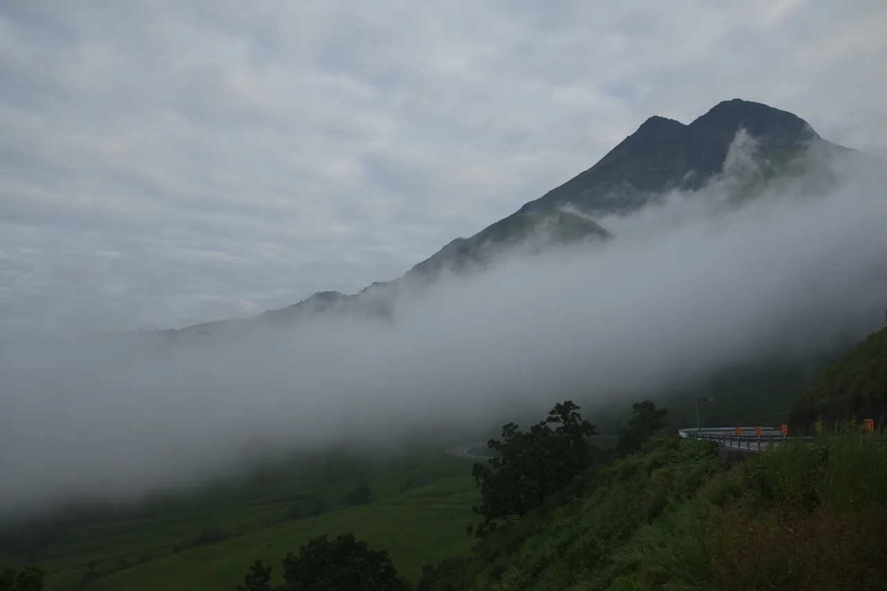
- Prefectural Route 11 (Yamanami Highway) and Mount Yufu in morning mist seen from near Sagiridai, photographed in September 2018 · Photographed 2018-09-18 · Koda6029 · Source · CC BY-SA 4.0